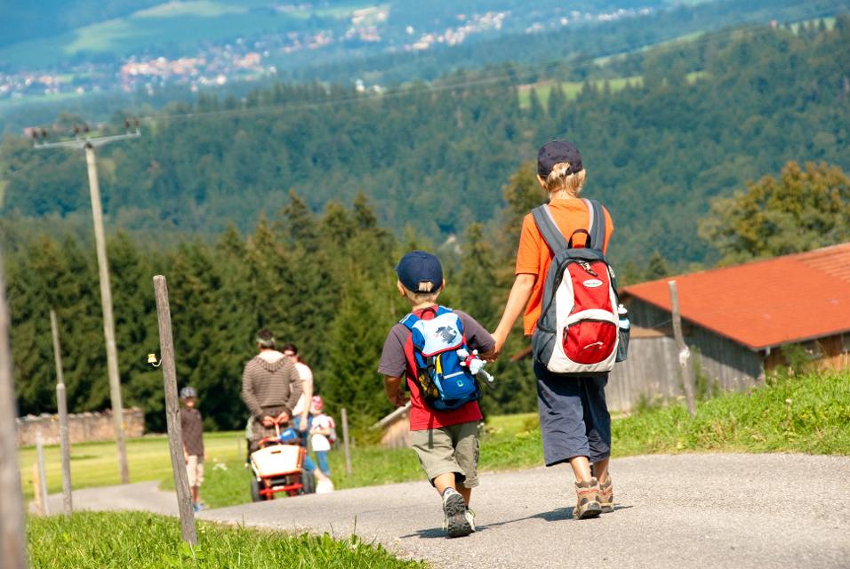
Besonders geeignet für:


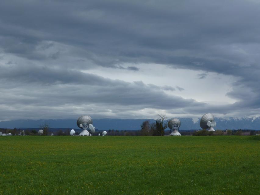

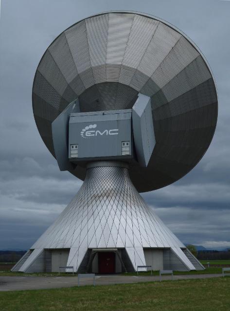

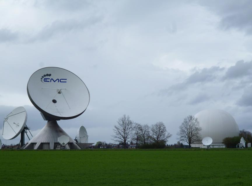

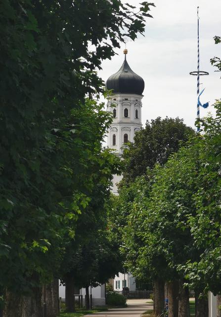
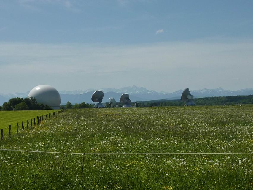
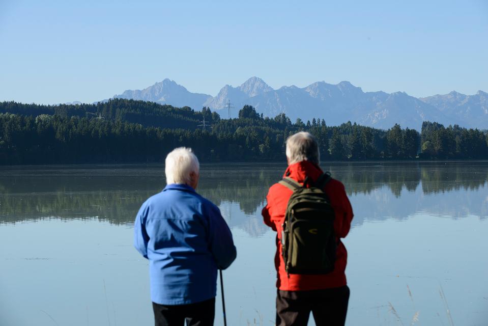
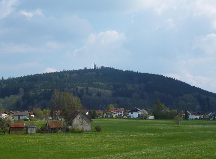
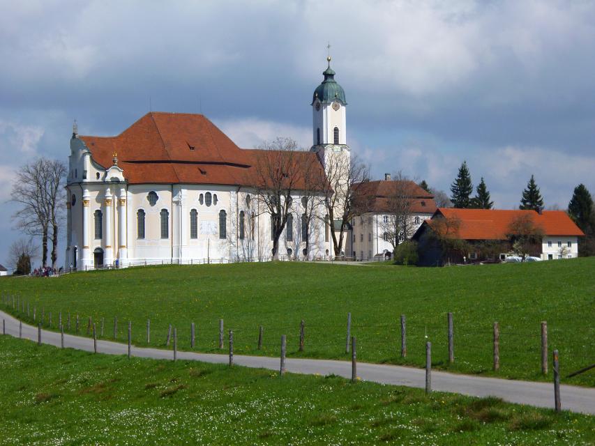
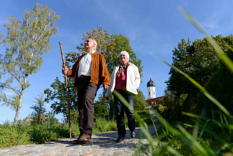
Die eindrucksvolle, durchaus außergewöhnliche Spazierrunde führt einmal rund um die schon von Weitem sichtbare Erdfunkstelle südlich von Raisting. Mitten auf der grünen Wiese stehen hier riesige Antennen, welche bis heute für internationale Satellitenverbindungen und damit für weltweite Kommunikation genutzt werden.
Beschildert: T51, grün
-
Aufstieg: 22 hm
-
Abstieg: 22 hm
-
Länge der Tour: 5,0 km
-
Höchster Punkt: 553 m
-
Differenz: 7 hm
-
Niedrigster Punkt: 546 m
Schwierigkeit
sehr leicht
Kondition
sehr leicht
Panoramablick
mittel
Saisonale Eignung
-
JAN
-
FEB
-
MRZ
-
APR
-
MAI
-
JUN
-
JUL
-
AUG
-
SEP
-
OKT
-
NOV
-
DEZ
Ausstattung
Barrierearm
Merkmale Touren
Aussichtsreich
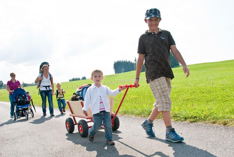
Kinderwagentauglich
Rundweg
Familientauglichkeit
Eingeschränkte Parkmöglichkeiten am Friedhof in Raisting (Nähe Bahnhof) und auf dem Wanderparkplatz in der Berndorfer Straße in Pähl.
Mit öffentlichen Verkehrsmitteln: Mit dem Zug nach Raisting.
Startpunkt: Bahnhof Raisting
Ziel: Bahnhof Raisting
Navigieren zu


Hier befindet sich auch

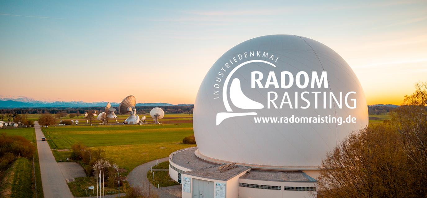
Radom Raisting (Industriedenkmal), Teil der Erdefunkstelle
Hofstätterweg 2, 82399 Raisting
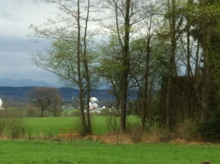
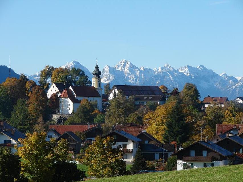
Die Erdefunkstelle Raisting, südlich des Ammersees, ist schon von weitem als eine besondere Landmarke erkennbar. Die riesigen Sattelitenschüsseln und die markante Kugel des Radoms laden zu einem Abstecher und einer kleinen Entdeckertour ein.
Essen in der Nähe
"Essen in der Nähe" überspringen
ca. 6,5 km entfernt
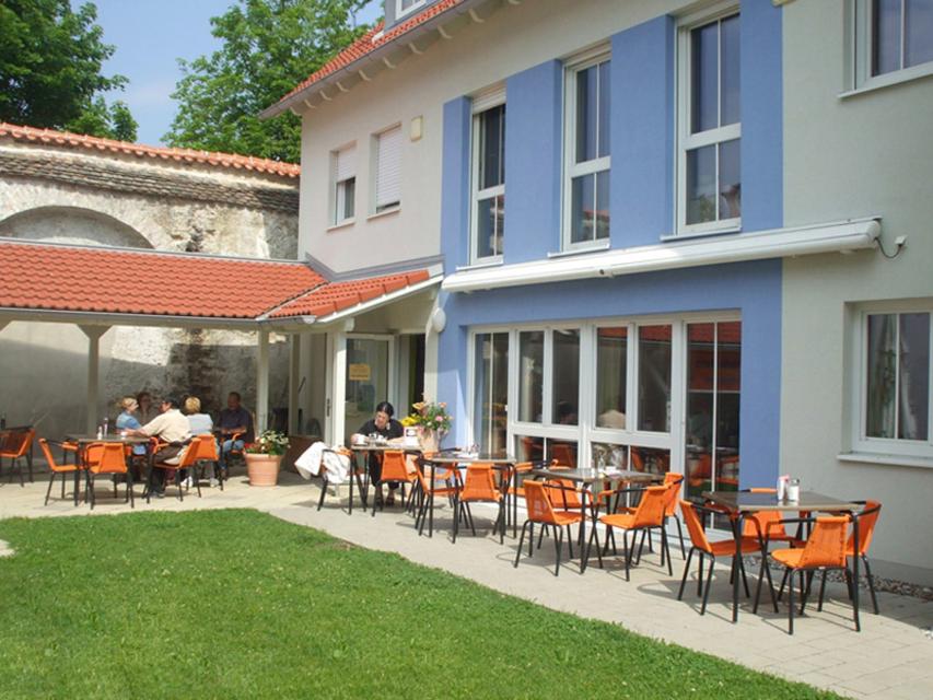
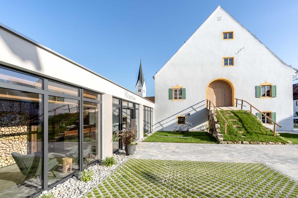
Hofgarten Pfaffenwinkel
Dorfstraße 4, 823662 Weilheim - Unterhausen
Auf einem besonders schönen Flecken Erde befindet sich der Hofgarten Pfaffenwinkel mit seinem idyllischen Café.

ca. 8,0 km entfernt
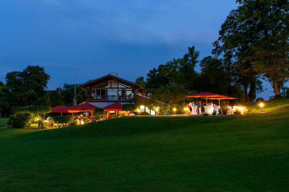
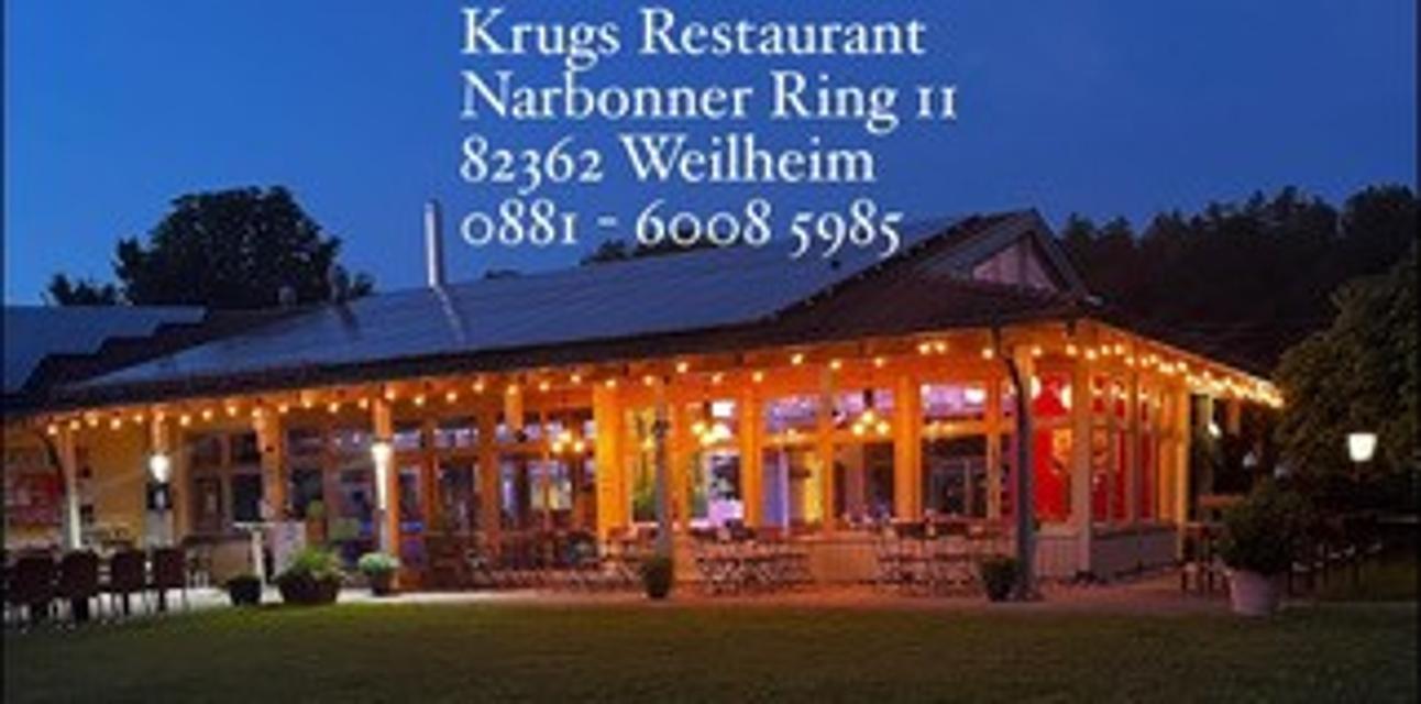
Krug’s Restaurant
Narbonner Ring 11, 82362 Weilheim
Krug’s Restaurant ist ein Novum in Weilheim und der gesamten Umgebung. Selbst verwöhnte Feinschmecker und hungrige Wanderer zieht es ins Krug’s Restaurant, denn die abwechslungsreiche Speisekarte, welche sich Saisonal ändert, findet großen Anklang.
ca. 8,2 km entfernt
Gelateria und Pizzeria Emporio
Schmidstraße 20, 82362 Weilheim
Ob auf einen schnellen Espresso oder einen gemütlichen Cappuccino mit italienischen Leckereien, hier ist jeder herzlich willkommen! Probieren Sie auch Eis und Patisserieprodukte aus eigener Herstellung. Und für den etwas größeren Hunger wartet traditionell mediterrane italienische Küche auf die Besucher.

ca. 8,4 km entfernt
Restaurant La Ruota
Kreuzgasse 10, 82362 Weilheim
Lassen Sie sich verwöhnen und genießen Sie Ihre Auszeit in Weilheim im Restaurant La Ruota.
ca. 8,4 km entfernt
Restaurant Korfu
Kreuzgasse 7, 82362 Weilheim
Griechisches Restaurant mit Biergarten in der Weilheimer Innenstadt.
ca. 8,4 km entfernt
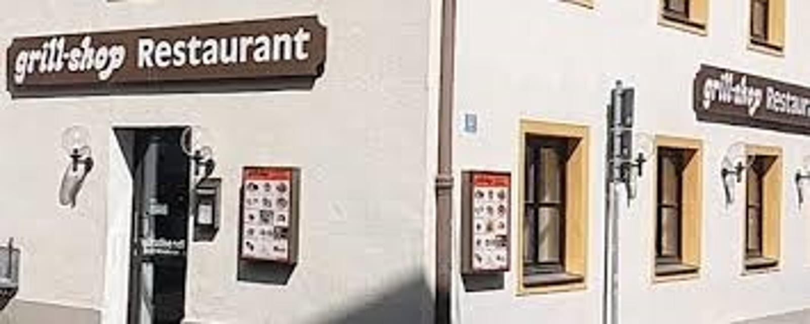
Gasthof Allgäuer Hof
Marienplatz 17, 82362 Weilheim
Der Allgäuer Hof ist eine traditionelle bayrische Gaststätte im Zentrum Weilheims (in Oberbayern).
ca. 8,5 km entfernt

ca. 8,6 km entfernt
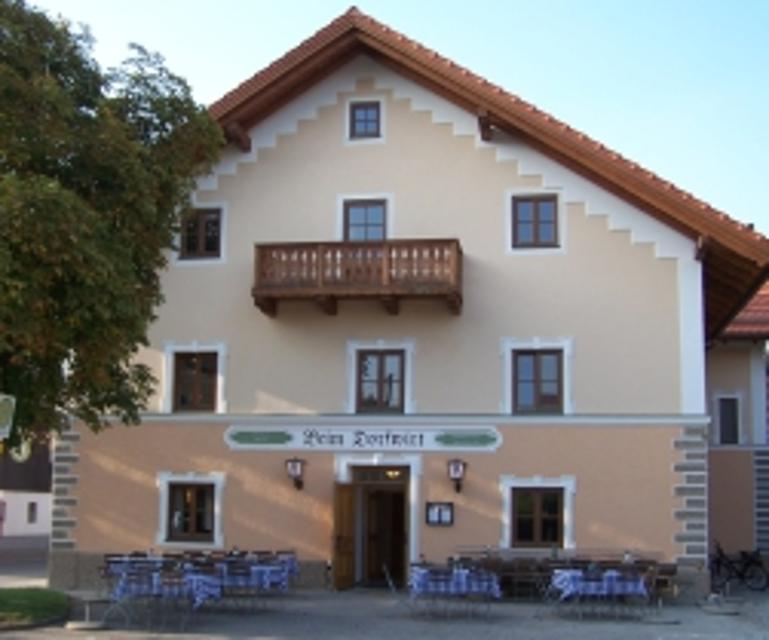
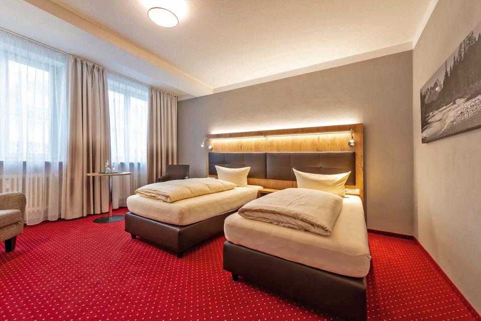
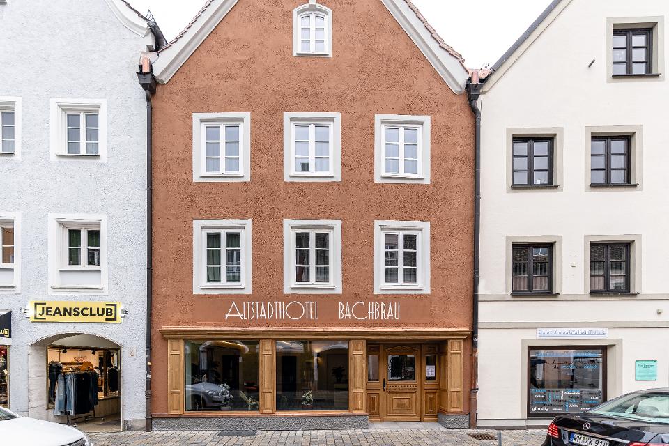
Hotel Restaurant Pöltner Hof Weilheim
Pollinger Str. 4 & 6, 82362 Weilheim in Oberbayern
Die zentrale Lage im Zentrum von Weilheim und die schmackhafte Küche lockt Gäste von Nah und Fern in unser Restaurant. Reservieren Sie Ihren Tisch online.
Unterkünfte in der Nähe
"Unterkünfte in der Nähe" überspringen
ca. 8,2 km entfernt
Wohnmobilstellplatz Weilheim
Lohgasse 17, 82362 Weilheim
Hinweis: im Ort den Reisemobil-Piktogrammen zum Stellplatz folgenGPS-Koordinaten: N 47° 84‘ 00" / O 11° 13‘ 63"Der In weniger als 500 Meter Entfernung vom Wohnmobilstellplatz befinden sich: Ufer der Ammer mit Fuß- und Radweg nach Norden und Süden Naherholungsgebiet „Au“ mit neu angelegtem Fitness-Parcours für Jung und Alt Weilheims historische Altstadt mit zahlreichen Einkaufs- und Einkehrmöglichkeiten Lebensmittel-Discounter in der Lohgasse
Weitere Tipps in der Nähe
"Weitere Tipps in der Nähe" überspringen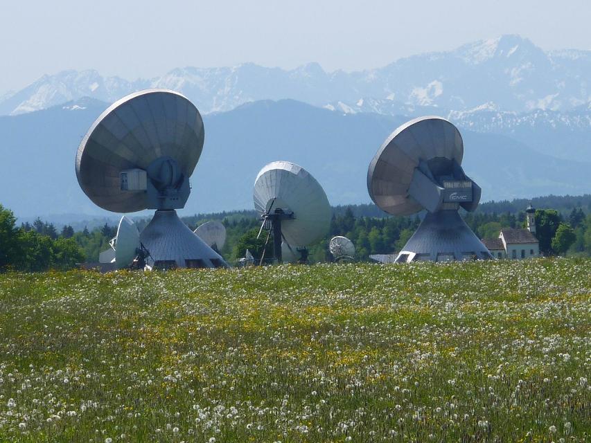
ca. 0,0 km entfernt
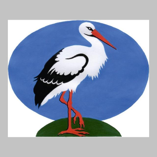
Storchenweg
Auf dem kurzen, flachen Rundweg genießen Spaziergänger über den freien Felder und Wiesen nordöstlich von Raisting ein traumhaftes Bergpanorama. Wer im Frühling oder Frühsommer unterwegs ist, kann mit etwas Glück häufig Störche beobachten, die während dieser Zeit in einem der zahlreichen Horste in und um den Ort nisten. Beschildert: Nr. 50, grün
1:00 h 22 hm 22 hm 4,1 km sehr leicht
ca. 0,3 km entfernt
Etappe 3, Nordschleife, Heilige Landschaft Pfaffenwinkel - Von Raisting nach Herrsching
Die dritte Etappe des Fernwanderwegs Heilige Landschaft Pfaffenwinkel führt uns von Raisting über Fischen an den Ammersee. Ein bisschen Zeit sollte man auf dem Weg von Raisting an den Ammersee schon einplanen, denn neben der eindrucksvollen Landschaft, die vor allem durch die weitläufigen Ammerwiesen, die Ammer selbst und natürlich dem Ammersee geprägt ist, gibt es auch einige Bauwerke und Museen zu besichtigen. So befinden sich zum Beispiel in Sölb die schöne Filialkirche St. Margareta, in Fischen die Maria-Hilf-Kapelle und das Kupfermuseum, in dem die Geschichte des Kupferhandwerks bestaunt werden kann, und kurz vor Herrsching schließlich da barocke Schloss Mühlfeld. Erholung bieten die zahlreichen Strandcafés am Ammersee. Hier kann man die Seele einfach mal baumeln lassen.
4:30 h 54 hm 74 hm 14,9 km mittel
ca. 0,4 km entfernt
Alpenblick-Wanderung
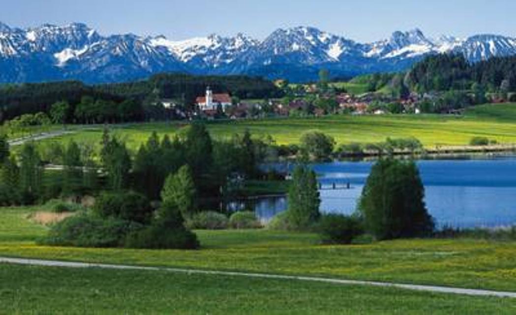
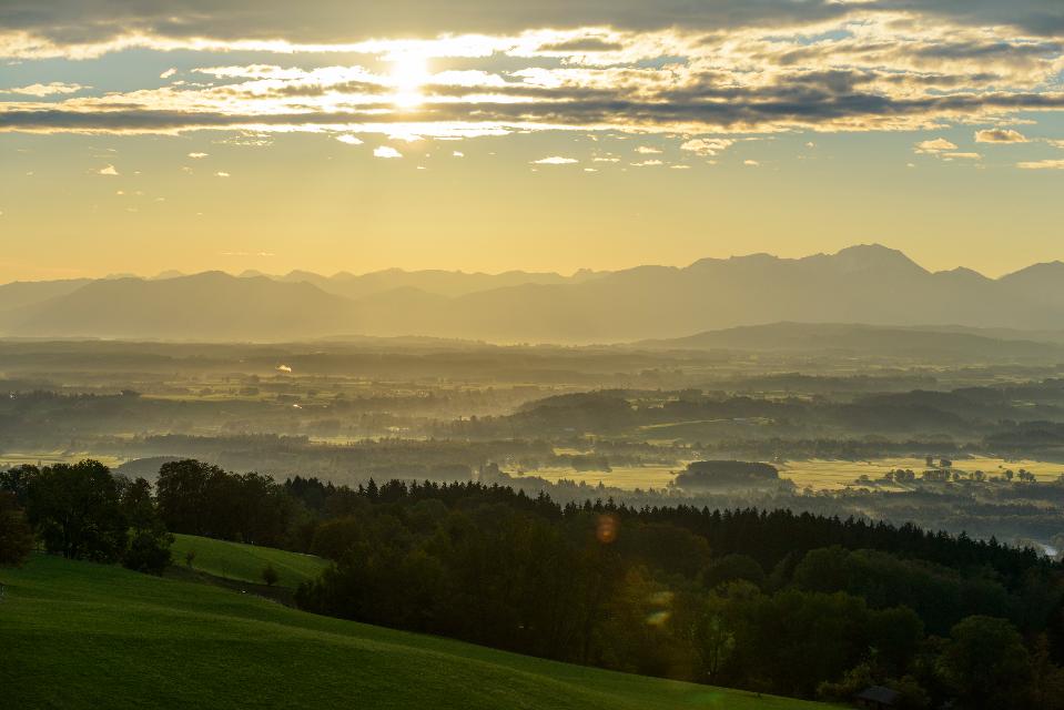
Raisting liegt in Oberbayern in unmittelbarer Nähe zum Ammersee. Die Erdfunkstelle ist das Wahrzeichen der Gemeinde, die schon von weitem zu sehen ist. Die Alpenblick-Wanderung welche mit der Nr. 52 auf grünem Grund beschildert ist, belohnt die Spaziergänger nicht nur mit einem herrlichen Weitblick auf das Alpenmassiv, sondern auch mit einem Blick auf die Erdfunkstelle. Beschilderung: Nr. 52, grün
1:15 h 53 hm 53 hm 4,7 km sehr leicht
ca. 0,4 km entfernt
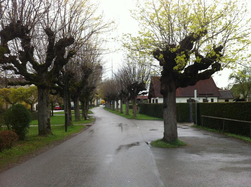
Wald-Wanderweg
Der Wald-Wanderweg führt uns auf ruhigen Forstwegen durch idyllische Wälder. Die gemütliche Runde führt um die Ortschaft Raisting, die für ihre Erdfunkstelle große Bekanntheit genießt. Die weit sichtbaren Parabolantennen sind ein Wahrzeichen des Weilheimer Landes. Beschildert: Nr. 53, blau
1:30 h 64 hm 64 hm 6,8 km mittel
ca. 1,1 km entfernt
Radom Raisting (Industriedenkmal), Teil der Erdefunkstelle
Hofstätterweg 2, 82399 Raisting
Die Erdefunkstelle Raisting, südlich des Ammersees, ist schon von weitem als eine besondere Landmarke erkennbar. Die riesigen Sattelitenschüsseln und die markante Kugel des Radoms laden zu einem Abstecher und einer kleinen Entdeckertour ein.
Das könnte Dir auch gefallen
"Das könnte Dir auch gefallen" überspringen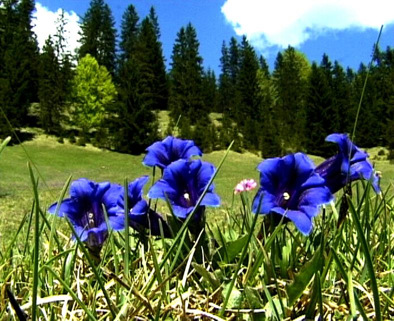
Enzianweg
Der landschaftlich reizvolle Rundweg hat allerlei Abwechslung zu bieten: weitläufige Wiesen, Felder und Moore, ein idyllisch gelegener See, ein erfrischender Badeweiher, zwei malerische Kapellen und nicht zuletzt ein fantastisches Bergpanorama. So geht es auf ruhigen, größtenteils asphaltierten Wegen genussvoll durch die wunderschöne Landschaft nordöstlich von Obersöchering. Beschildert: Nr. 11, blau
2:00 h 22 hm 22 hm 8,5 km sehr leicht
Lanzenbachweg
Idyllisch führt die Runde, die auf den Schildern mit der Nr. 8 auf blauem Grund zu finden ist, in stetem Auf und Ab durch die Wald- und Wiesenlandschaft östlich des Pollinger Weihers. Immer wieder genießen Spaziergänger traumhafte Ausblicke auf die Alpenkette. Im Reinthaler Bauernhofmuseum können allerlei alte landwirtschaftliche Geräte bestaunt werden. Direkt nebenan lohnt sich eine Einkehr im dazugehörigen Café. Beschildert: Nr. 8, blau
2:15 h 128 hm 128 hm 8,6 km mittel
Lauterbach-Rundweg
In Steingaden beginnt der Rundweg nach Lauterbach. Vom Startpunkt führt der Weg über wenig befahrene Sträßchen und Forstwege nordöstlich von Steingaden. Ein Begleiter der Tour ist der grandiose Weitblick auf die Alpen und auf das Welfenmünster. Ausgeschildert ist der Weg mit der Nr. 119, blau.
2:15 h 142 hm 142 hm 7,3 km mittel
Panoramaweg Schellenberg
Der Panoramaweg über den Schellenberg wird seinem Namen mehr als gerecht. Schon vom Weg aus, erst recht aber auf dem Schellenberg genießen Spaziergänger einen fantastischen Blick auf die Alpen und den Hohen Peißenberg. Beschildert: Nr. 17, grün
1:00 h 48 hm 48 hm 4,1 km sehr leicht
Storchenweg
Auf dem kurzen, flachen Rundweg genießen Spaziergänger über den freien Felder und Wiesen nordöstlich von Raisting ein traumhaftes Bergpanorama. Wer im Frühling oder Frühsommer unterwegs ist, kann mit etwas Glück häufig Störche beobachten, die während dieser Zeit in einem der zahlreichen Horste in und um den Ort nisten. Beschildert: Nr. 50, grün
1:00 h 22 hm 22 hm 4,1 km sehr leicht
Wald-Wanderweg
Der Wald-Wanderweg führt uns auf ruhigen Forstwegen durch idyllische Wälder. Die gemütliche Runde führt um die Ortschaft Raisting, die für ihre Erdfunkstelle große Bekanntheit genießt. Die weit sichtbaren Parabolantennen sind ein Wahrzeichen des Weilheimer Landes. Beschildert: Nr. 53, blau
1:30 h 64 hm 64 hm 6,8 km mittel
Panoramarunde Steingaden
Die Panoramarunde führt uns von Steingaden zum Lechstausee. Sobald wir Steingaden verlassen haben und den Storchenmoosweiher passiert haben, öffnet sich uns ein gigantisches Alpenpanorama, das uns bis zum Ausgangspunkt zurück begleiten wird. Beschildert: Nr. 115, blau
2:15 h 95 hm 92 hm 7,6 km mittel
Pfaffenwinkler Milchweg
Auf dem Pfaffenwinkler Milchweg bei Schönegg können Wanderer alles rund um das Thema Milch Schritt für Schritt erleben. Auf dem Themenweg gibt es zehn Stationen, die Wissenswertes und Spannendes rund um das Thema Milch und Landwirtschaft kindgerecht präsentieren.
1:30 h 88 hm 89 hm 4,2 km sehr leicht
Schwarzlaichmoor
Bei einem gemütlichen Spaziergang wird das Naturschutzgebiet Schwarzlaichmoor östlich von Hetten einmal komplett umrundet. Vom Weg aus bieten sich immer wieder wunderschöne Ausblicke über die weitläufige Moorlandschaft hinweg zum Hohen Peißenberg mit der Wetterstation und der Wallfahrtskirche Mariä Himmelfahrt.
1:30 h 67 hm 67 hm 5,9 km sehr leicht
Winterwanderung - Pfaffenwinkler Milchweg
Auf dem Pfaffenwinkler Milchweg bei Schönegg können Wanderer alles rund um das Thema Milch Schritt für Schritt erleben. Auf dem Themenweg gibt es zehn Stationen, die Wissenswertes und Spannendes rund um das Thema Milch und Landwirtschaft kindgerecht präsentieren.
1:30 h 60 hm 61 hm 4,2 km sehr leicht
Alpenblick-Wanderung
Raisting liegt in Oberbayern in unmittelbarer Nähe zum Ammersee. Die Erdfunkstelle ist das Wahrzeichen der Gemeinde, die schon von weitem zu sehen ist. Die Alpenblick-Wanderung welche mit der Nr. 52 auf grünem Grund beschildert ist, belohnt die Spaziergänger nicht nur mit einem herrlichen Weitblick auf das Alpenmassiv, sondern auch mit einem Blick auf die Erdfunkstelle. Beschilderung: Nr. 52, grün
1:15 h 53 hm 53 hm 4,7 km sehr leicht
Schnalz-Panoramaweg Böbing
Abwechslungsreicher könnte der bergige Rundweg kaum sein. Gut ausgebaute Panoramastrecken bieten am Anfang und Ende viel Zeit zum Schauen und Genießen. Dazwischen erwarten Wanderer mitunter steile Wurzel- und Treppenpfade durch den Wald, die bis hinunter an die Ammer und bis hinauf auf den Schnalz-Gipfel (901 m) führen. Beschildert: Nr. 89, blau
2:30 h 350 hm 350 hm 7,7 km mittel
Sonnenbichl-Weg
Der Sonnenbichl-Weg ist eine erstklassige Panoramarunde. Bis auf wenige Abschnitte werden Spaziergänger auf der gesamten Strecke von einem grandiosen Bergblick begleitet. Vom Aussichtspunkt in Geigersau, der nicht umsonst Dreiseenblick genannt wird, eröffnet sich ein eindrucksvoller Blick nach Norden bzw. Osten auf Ammersee, Starnberger See und Staffelsee. Beschildert: Nr. 93, blau
2:30 h 175 hm 151 hm 10,0 km mittel
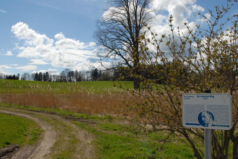
Doktor-Faustus-Weg
Der Doktor-Faustus-Weg wurde nach den Ortsbeschreibungen im Roman angelegt, die durch Thomas und Viktor Mann eindeutig für Polling verbürgt sind. Der landschaftlich reizvolle Rundweg berührt alle Orte, die Thomas Mann im Zusammenhang mit Geburts- und Wohnort seiner Titelfigur Adrian Leverkühn erwähnt. Man wandert auf den Spuren eines bedeutenden Werkes der Weltliteratur - im Spannungsfeld zwischen Realität und Kunstfigur. Mit 13 Texttafeln bietet der Themenweg unterhaltsame Erholung in intakter Kulturlandschaft.
1:30 h 60 hm 60 hm 4,6 km sehr leicht
Hardtrunde (kurz)
Die kurze Version der Hardtrunde streift die typische Hardtlandschaft östlich von Weilheim nur am Rande. Im Zentrum steht vielmehr das sanfte Hügelland rund um den idyllischen Dietlhofer See, einem beliebten Badesee im Norden von Weilheim. Immer wieder genießen Spaziergänger wunderschöne Ausblicke auf den See und den Weiler Dietlhofen. Beschildert: Nr. 42, grün
1:00 h 47 hm 47 hm 3,9 km sehr leicht
Illach-Rundweg
Der flache Rundweg nahe der Illach führt Wanderer durch die weitläufige Landschaft des Pfaffenwinkels. Während Kulturinteressierte in Steingaden die Spuren der Welfendynastie erforschen können, ist für Naturliebhaber der türkisfarbene Lechstausee eine wunderbare Sehenswürdigkeit. Ausgeschildert mit der Nr. 120, rot.
2:30 h 154 hm 154 hm 9,4 km mittel
Königssträßle-Rundweg
Die panoramareiche Runde führt auf ruhigen Wegen durch die hügelige Voralpenlandschaft des südlichen Pfaffenwinkels. Grandiose Bergblicke und die weit über die Grenzen Bayerns hinaus bekannte Wieskirche ziehen Spaziergänger in ihren Bann. Beschildert: Nr. 117, blau
2:30 h 173 hm 173 hm 9,8 km mittel
Moor- und Drumlinrunde Eberfing
Die ausgedehnte Spazierrunde bei Stadel ist eine Runde durch die weitläufigen Filzgebiete und romantische Wälder im bayerischen Oberland nahe des Starnberger Sees. Auf der Rundwanderung darf man die sanfte Hügellandschaft im malerischen Voralpenland kenne lernen. Der Stadler Weiher ist das Highlight der Tour und einen Abstecher für einen Sprung in das kühle Nass wert. Beschildert: T16, blau
2:30 h 60 hm 58 hm 8,2 km mittel
Schäfflerweg
Der Schäfflerweg ist eine wunderschöne Wanderrunde mit Start in Peißenberg, der Marktgemeinde des lebendig gebliebenen Bergbaus.
3:15 h 235 hm 235 hm 10,7 km mittel
Schnalz-Panoramaweg Peiting
Abwechslung und Spannung ist auf dem ausgedehnten Rundweg garantiert. Zwischen saftig grünen Wiesen und schattigen Wäldern führt er bis an die wildromantische Ammer hinunter, wo mit dem Ammerlauf-Lehrpfad noch eine informative Extra-Runde gedreht wird. Auf dem Weg in Richtung Schnalz-Gipfel stellen die unzähligen Stufen einen echten Konditionstest dar. ‘Beschildert: Nr. 101, blau
3:30 h 412 hm 412 hm 10,2 km mittel
Seewiesenweg
Die gemütliche Spazierrunde ist zwar kurz, aber dafür umso abwechslungsreicher. Begleitet von einem traumhaften Alpenpanorama führt der Weg nach Huglfing, bevor es durch die einzigartige Grasleitner Moorlandschaft zurück nach Oberhausen geht. Beschildert: Nr. 63, grün
1:00 h 47 hm 47 hm 4,0 km sehr leicht
Bergwetter-Weg
In exponierter Lage führt die Spazierrunde auf gut beschilderten Wegen zu den spannenden Sehenswürdigkeiten des Hohen Peißenbergs. Auf der Runde erwartet uns die älteste Bergwetterstation der Erde, eine Entdeckungsreise durch die Welt des Klimas und die Wallfahrtskirche Maria Himmelfahrt. Beschildert: Nr. 82, blau
1:30 h 196 hm 196 hm 4,8 km sehr leicht
Hardtrunde (lang)
Die ausgedehnte Runde führt über weite Strecken durch die einzigartige Hardtlandschaft mit Hoch- und Niedermooren, Magerrasen- und Streuwiesengebieten sowie weitläufigen Wäldern. Auf dem landschaftlich äußerst reizvollen Weg über kaum befahrene Sträßchen und ruhige Forstwege genießen Spaziergänger immer wieder traumhafte Ausblicke auf die Alpenkette. Beschildert: Nr. 44, rot
2:30 h 109 hm 109 hm 9,6 km mittel
Hardtrunde (mittel)
Die landschaftlich reizvolle Hardtrunde führt in ihrem östlichen Teil durch die wunderschöne, äußerst vielfältige Hardtlandschaft. Saftig grüne Wiesen wechseln sich immer wieder mit weitläufigen Wald- und Moorgebieten ab. Im Gegensatz dazu ist der westliche Teil der Runde geprägt durch die weiten, häufig landwirtschaftlich genutzten Felder und Wiesen rund um den Dietlhofer See, der sich im Sommer hervorragend zum Baden eignet. Beschildert: Nr. 43, blau
2:00 h 88 hm 88 hm 7,1 km sehr leicht
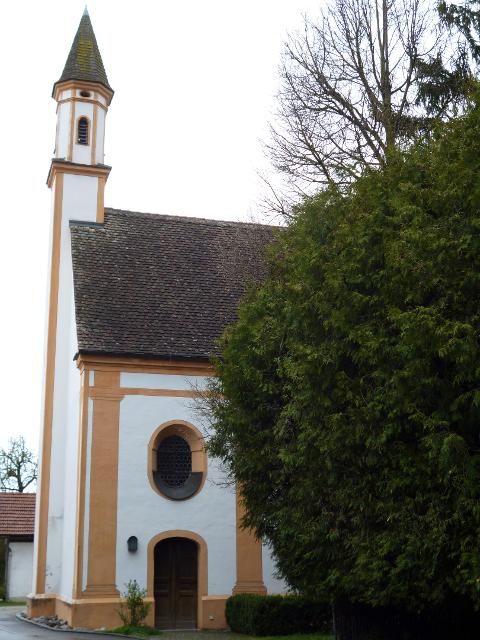
Kirchen-Rundweg Iffeldorf
Das Ziel des kurzen Rundwegs ist die Wallfahrtskirche St. Maria im Heuwinkl. Die als Heuwinklkapelle bekannte Kirche liegt wunderschön auf einer Anhöhe östlich von Iffeldorf. Sie gilt als eine der schönsten Kapellen im gesamten bayerischen Oberland. Durch ihre exponierte Lage und ihren originellen runden Bau mit der großen roten Kuppel ist sie schon von Weitem sichtbar. Beschildert: Nr. 24, grün
0:45 h 39 hm 39 hm 2,8 km sehr leicht