

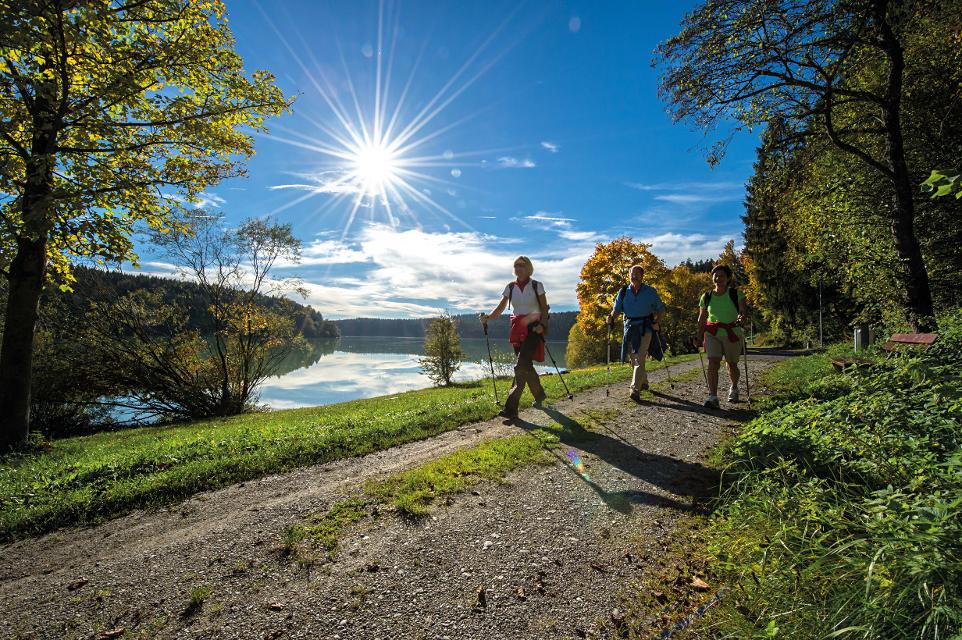
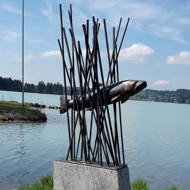
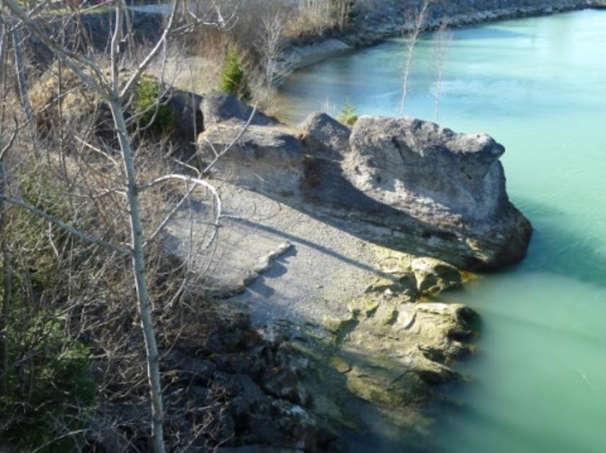
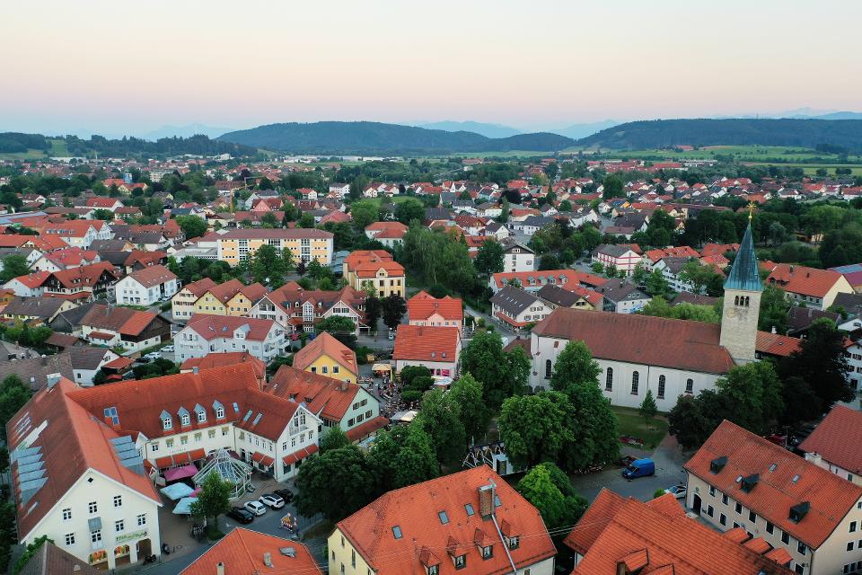
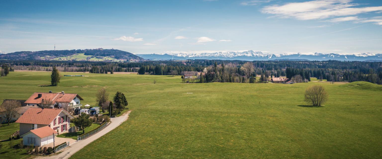
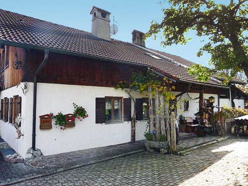
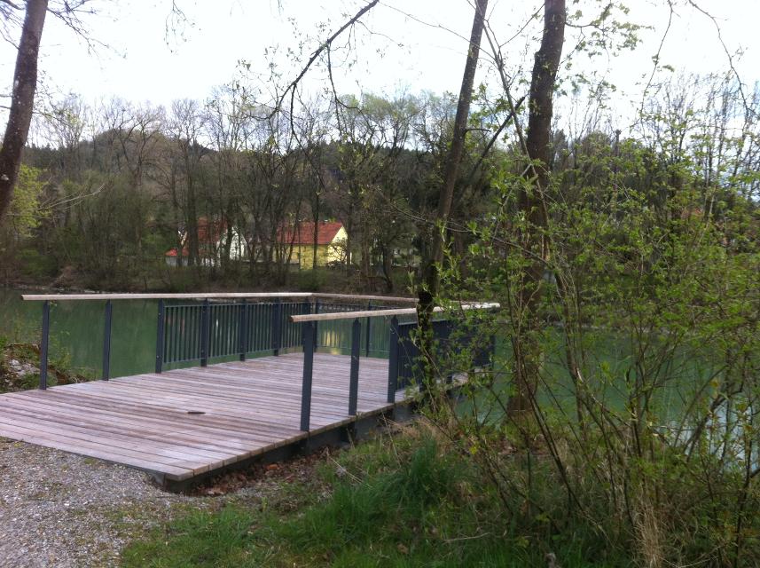
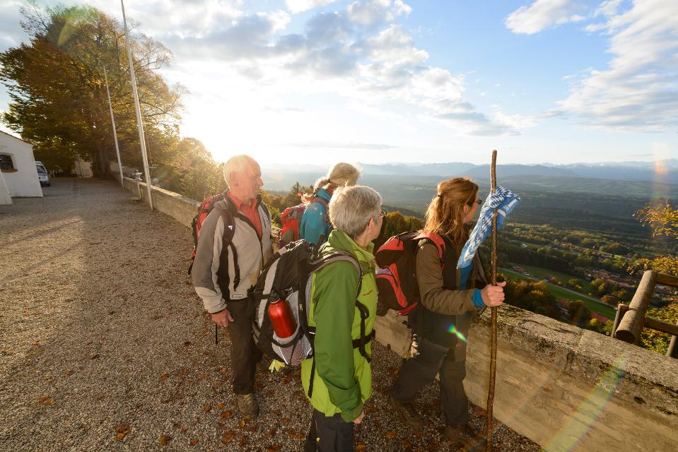
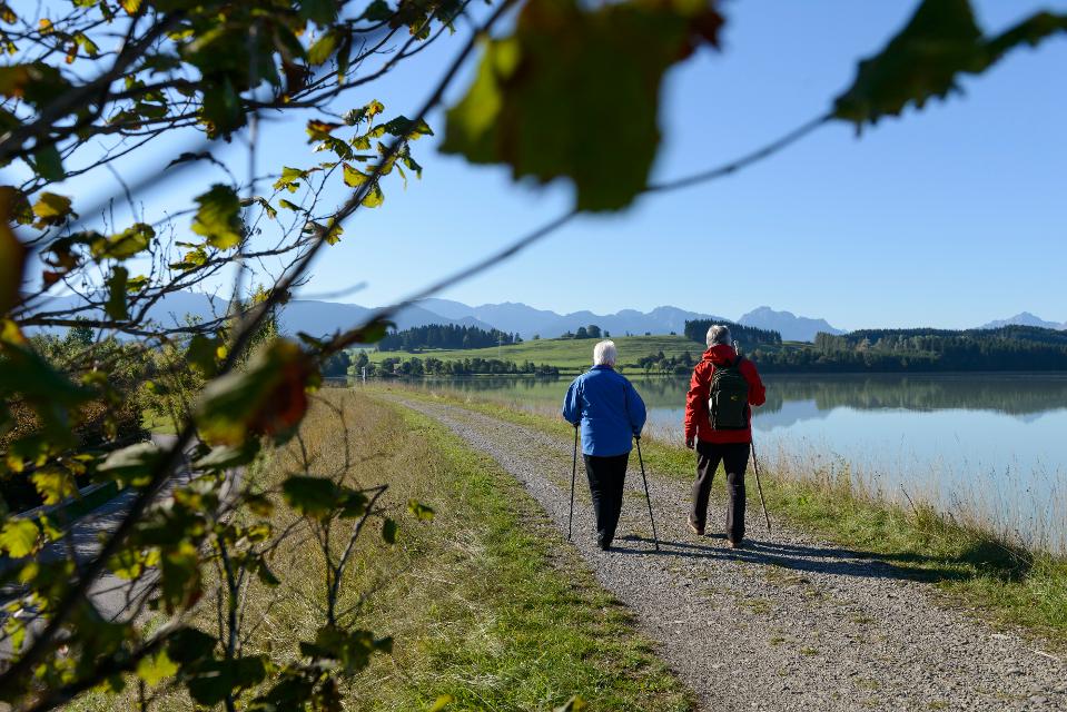
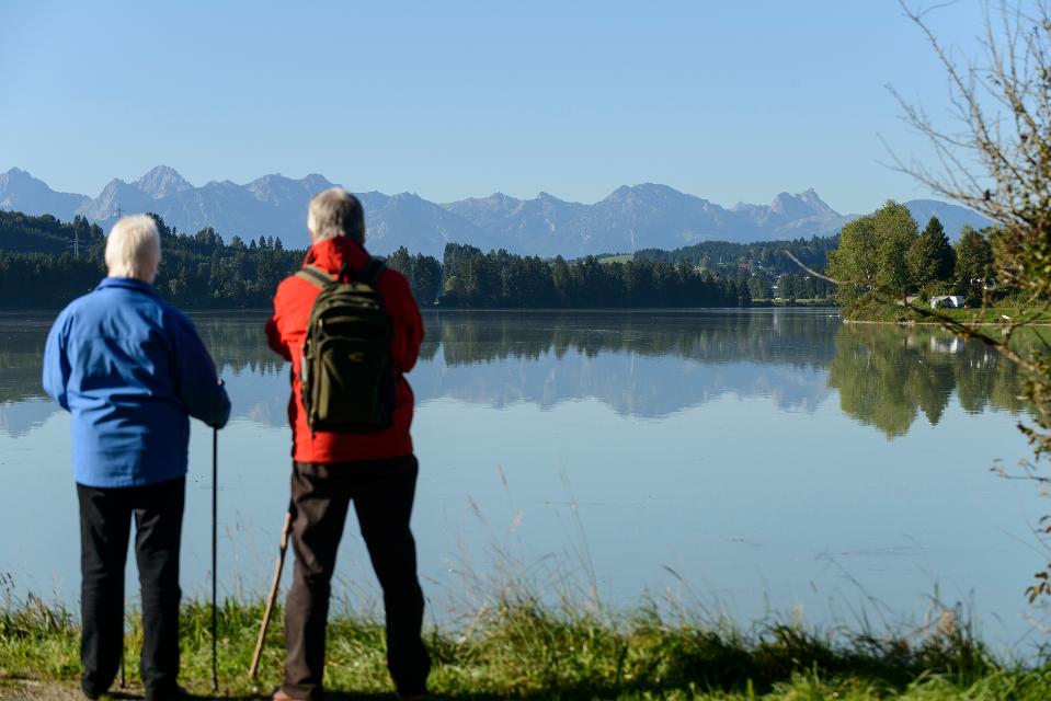
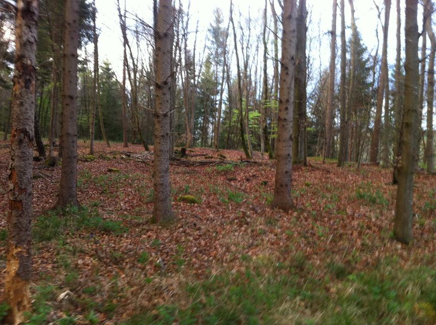
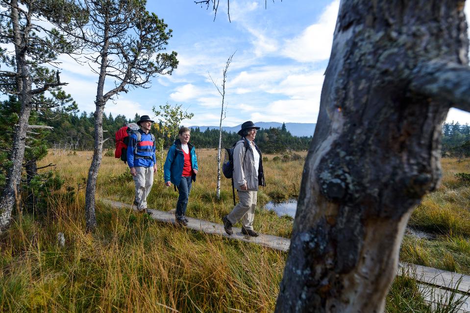
Durch das Tor des Polizeidienerturms wird die Altstadt verlassen. Treppen führen den Hang hinab, beim Schwimmbad kommt man wieder auf den Uferweg und zum Schongauer Lechsee.
-
Aufstieg: 282 hm
-
Abstieg: 211 hm
-
Länge der Tour: 23,2 km
-
Höchster Punkt: 769 m
-
Differenz: 102 hm
-
Niedrigster Punkt: 667 m
Schwierigkeit
mittel
Kondition
mittel
Panoramablick
viel
Saisonale Eignung
-
JAN
-
FEB
-
MRZ
-
APR
-
MAI
-
JUN
-
JUL
-
AUG
-
SEP
-
OKT
-
NOV
-
DEZ
Merkmale Touren
Fernwanderweg
Etappentour
Aussichtsreich
Einkehrmöglichkeit


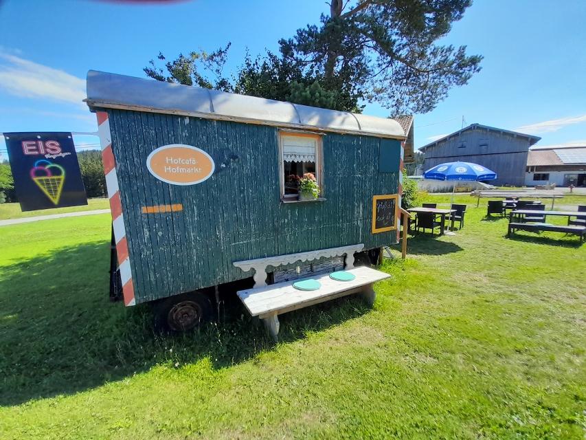
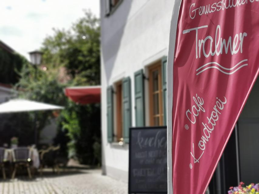
Hier befindet sich auch


Essen in der Nähe
"Essen in der Nähe" überspringen
ca. 0,4 km entfernt
Lagerhaus
Karmeliterstr. 5, 86956 Schongau
Restaurant, mit Cafe und Bar. Seit dem Umbau kann das Lagerhasu auch mit einem Kinobesuch der besonderen Art aufwarten.
ca. 2,5 km entfernt
Schreinercafé
Friedhofweg 9, 86972 Altenstadt
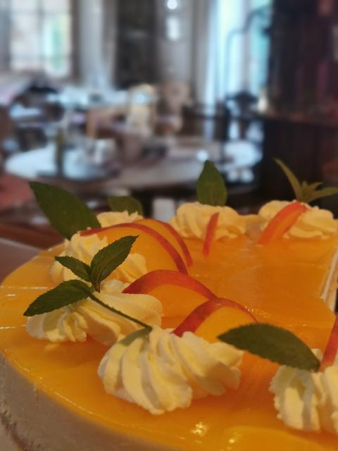
Wer im Schreinercafé sitzt, genießt von der Frau des Schreinermeisters Richard Kögl täglich frisch gebackenen Kuchen , frisch gebrühten Kaffee wie er schon einst von Oma zubereitet wurde, und einen unverstellten Blick auf die romanische Basilika unweit des Cafés
ca. 2,9 km entfernt
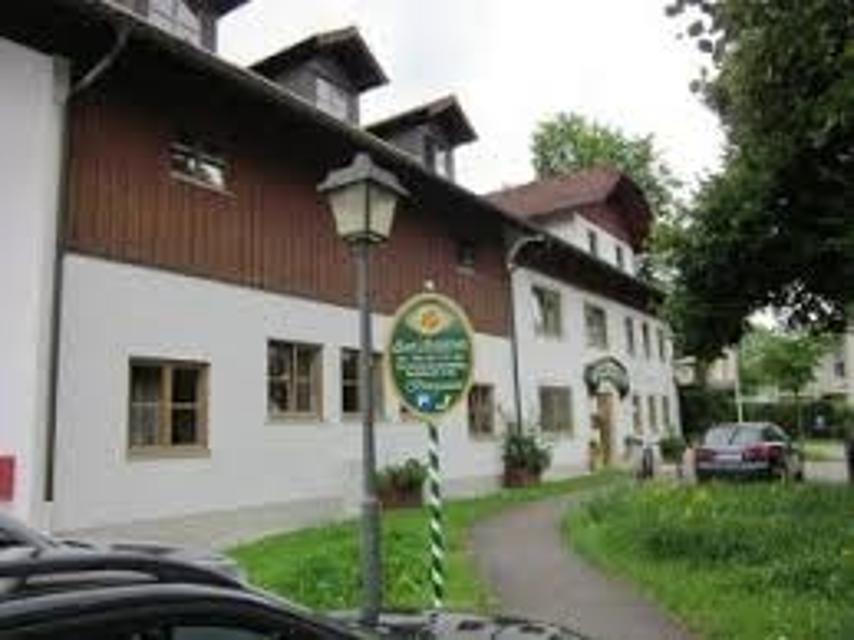
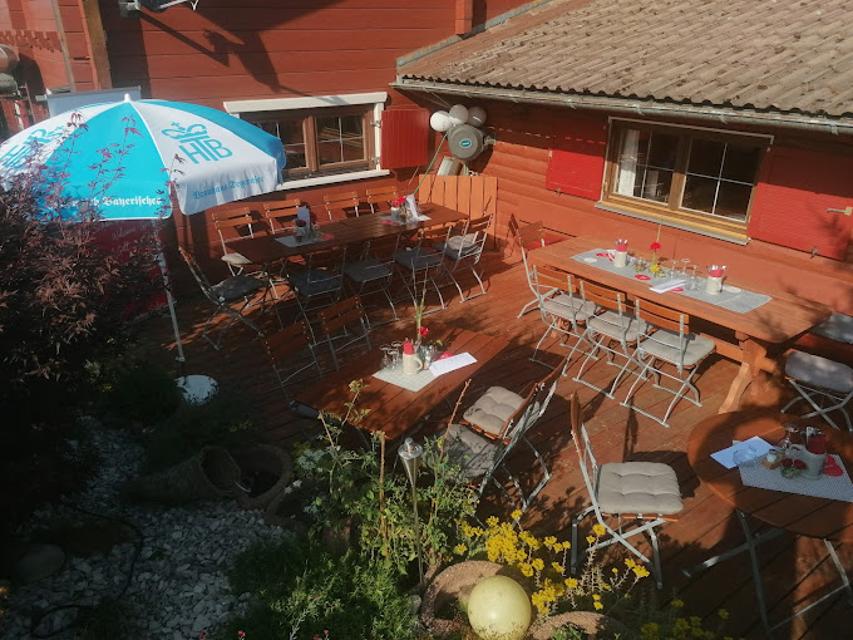
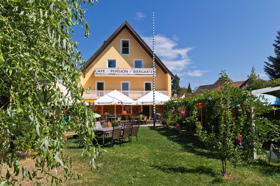
Herzog Cafe und Wirtshaus in Herzogsägmühle
Dorfplatz 8, 86971 Peiting-Herzogsägmühle
Das Café Herzog ist das öffentliche Café und Wirtshaus in Herzogsägmühle, mit Spielplatz, Minigolf und zwei Kegelbahnen. Unsere Speisekarte ist klein, aber fein. Wo immer möglich, verarbeiten wir regionale und nachhaltig erzeugte Produkte – selbstverständlich auch aus Herzogsägmühler Betrieben wie der Metzgerei, der Bäckerei sowie der Gärtnerei.Ebenso stellen wir viele Produkte hausgemacht her – wir haben Freude daran und hoffen, Sie mit unseren Speisen ein wenig verwöhnen zu können.Wir bieten Frühstück, Mittagessen und am Nachmittag können Sie sich auf erfrischende Eisbecher sowie hausgemachten Kuchen freuen. Unser barrierefreies Restaurant wurde mehrfach für seinen kinder- und familienfreundlichen Service ausgezeichnet.
ca. 2,9 km entfernt
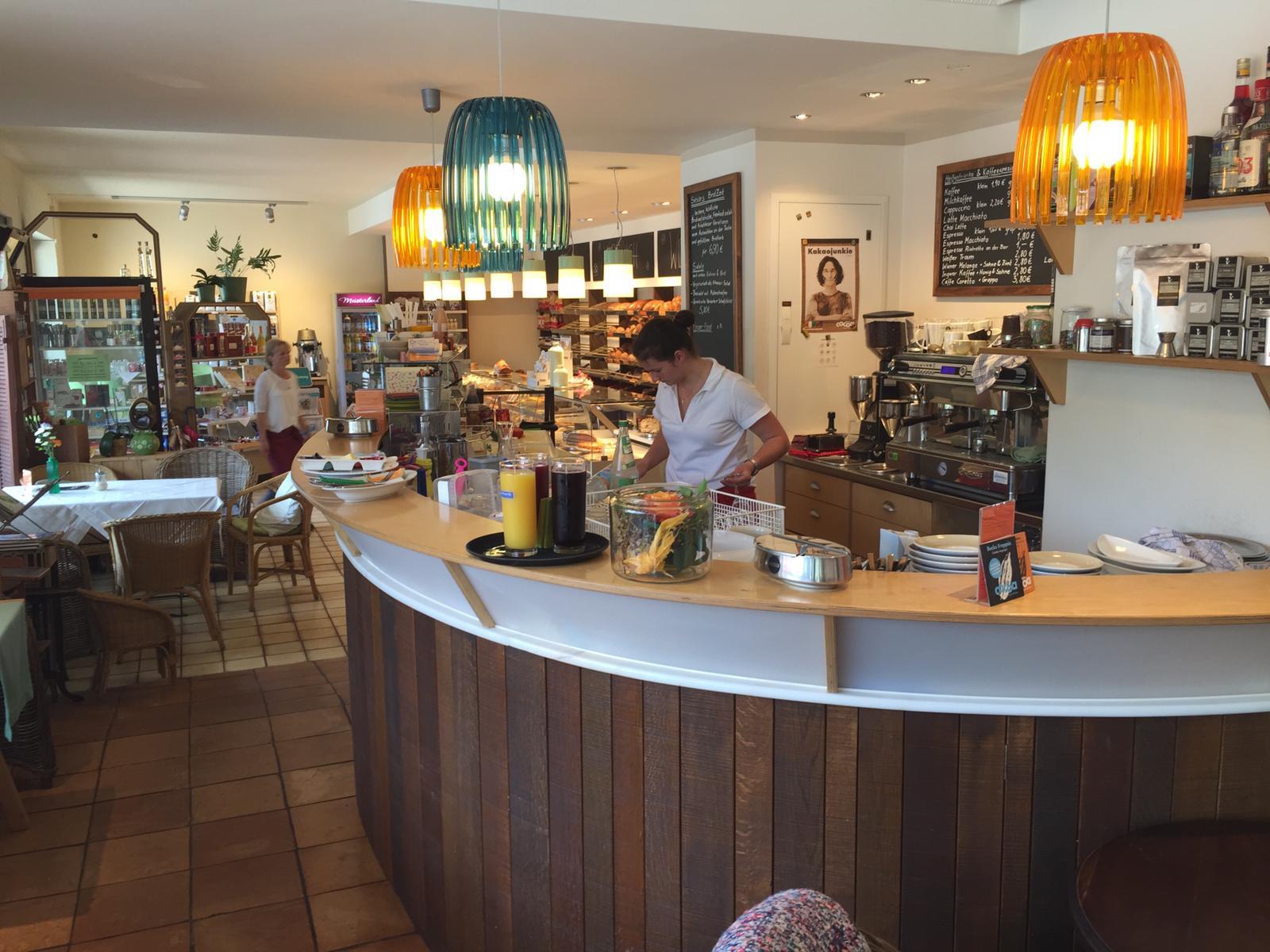
Bäckerei & Café Sesar
Bahnhofstraße 21, 86971 Peiting
Handwerklich-traditionelle Backkunst aus Peiting.
ca. 8,0 km entfernt
ca. 8,4 km entfernt
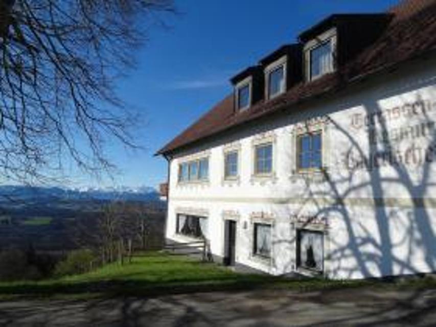
Gaststätte Bayerischer Rigi
M. Günther-Pl. 2, 82383 Hohenpeißenberg
Schweinshaxe, Jägerbraten und Staffelseezander im zünftigen Wirtshaus mit Panoramaterrasse auf 1000 m Höhe.
Unterkünfte in der Nähe
"Unterkünfte in der Nähe" überspringen
ca. 0,3 km entfernt
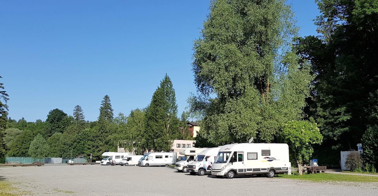
Wohnmobilstellplatz Schongau
Lechuferstraße, 86956 Schongau
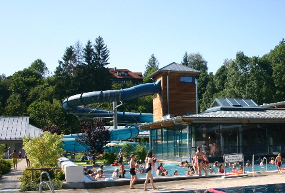
Der Wohnmobilstellplatz befiindet sich in unmitelbarer Nähe des beliebten Erlebnisbades Plantsch an der Lechuferstraße. Dieser bietet 70 sonnige sowie teilweise schattige Plätze. Von dort aus ist über einenFußweg die Historische Altstadt in wenigen Minuten zu erreichen. Dort bietet sich eine attraktive Auswahl an Gastronomie, Geschäften, Fußgängerzone sowie auch historisch bedeutsame Punkte zur Besichtigung. Ein gleichfalls attraktives Ausflugsziel vom Wohnmobilstellplatz aus ist der Badestrand mit seinem gastronomisch bewirtschafteten Bootshaus am Schongauer Stausee "Lido"
Weitere Tipps in der Nähe
"Weitere Tipps in der Nähe" überspringen
ca. 0,2 km entfernt
Stadt- und Lechgeschichten
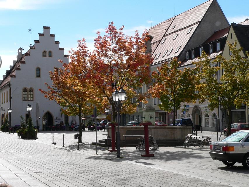
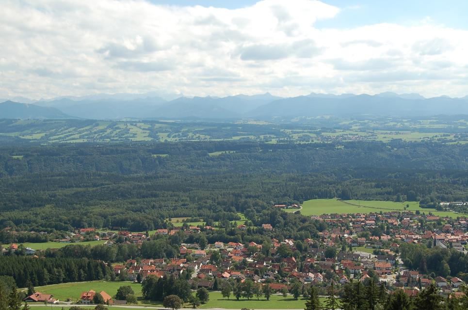
Wissenswerte Geschichten ranken sich um die historische Altstadt Schongaus. Zuerst erleben wir jedoch romantische Wanderwege, ehe wir die Altstadt mit dem gotischen Ballenhaus, der barocken Stadtpfarrkirche Mariae Himmelfahrt und der begehbaren Stadtmauer entdecken.
3:45 h 276 hm 276 hm 13,9 km mittel
ca. 0,2 km entfernt
Winterwanderung - Stadt- und Lechgeschichten
Wissenswerte Geschichten ranken sich um die historische Altstadt Schongaus. Zuerst erleben wir jedoch romantische Wanderwege, ehe wir die Altstadt mit dem gotischen Ballenhaus, der barocken Stadtpfarrkirche Mariae Himmelfahrt und der begehbaren Stadtmauer entdecken.
3:45 h 114 hm 114 hm 13,9 km mittel
ca. 0,2 km entfernt
Historische Stadtmauer
Bürgermeister-Schägger-Platz, 86956 Schongau
Audiokommentar zur Station 6 - Die Stadtmauer
ca. 0,3 km entfernt
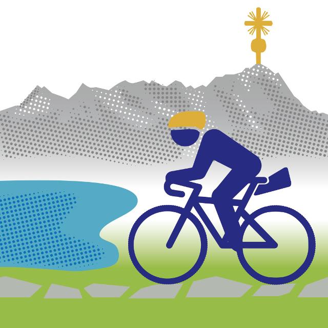
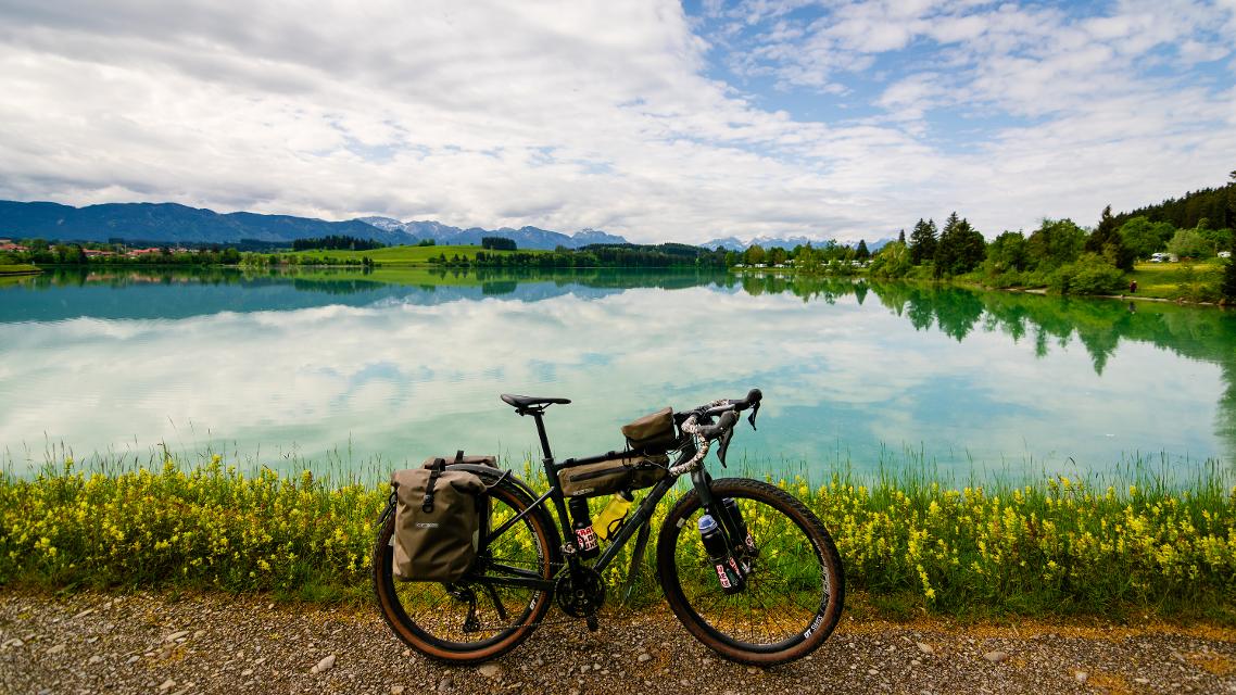
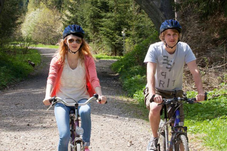
Gravelbiken mit Zugspitzblick - zwischen Lech und Ammergebirge (Schongau-Oberammergau)
Auf dieser Gravelbike-Strecke startest du in Schongau, passierst den malerischen Lech mit seinen Staustufen und folgst dem König-Ludwig-Weg durch Hügel und Wälder. Von Altenau führt die Route entlang des Ammertals, durch das Pulvermoos bis ins charmante Oberammergau.
4:10 h 466 hm 288 hm 56,4 km mittel
ca. 0,3 km entfernt

Gravelbiken mit Zugspitzblick - Zwischen Lech und Murnauer Moos (Schongau-Murnau)
Starte deine Gravelbike-Tour in Schongau, passiere die Staustufen am Lech und genieße die abwechslungsreiche Natur bis nach Steingaden. Weiter geht es über das historische Königssträßle durch Altenau und Bad Kohlgrub, bis du schließlich die beeindruckende Weite des Murnauer Mooses erreichst.
4:45 h 569 hm 571 hm 69,4 km mittel
ca. 0,3 km entfernt
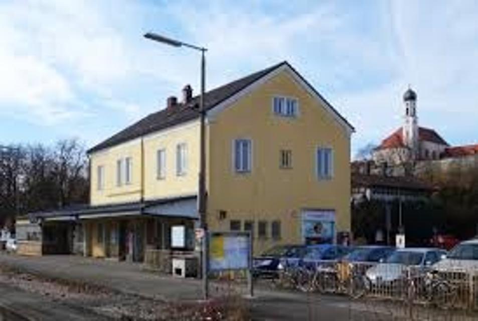
Bahnhof Schongau
Bahnhofstraße 17, 86956 Schongau
Der Bahnhof Schongau ist der Bahnhof der oberbayrischen Stadt Schongau. Im Durchgangsbahnhof trifft die Bahnstrecke Landsberg am Lech–Schongau auf die Strecke Schongau-Peißenberg. Außerdem war der Bahnhof Schongau Endpunkt einer heute stillgelegten Bahnstrecke aus Kaufbeuren. Der Bahnhof verfügt über drei Bahnsteiggleise an zwei Zwischenbahnsteigen. Er gehört der Bahnhofskategorie 5 der DB Station&Service an und wird täglich von ungefähr 20 Regionalverkehrszügen der Bayerischen Regiobahn (BRB) bedient.
ca. 0,3 km entfernt
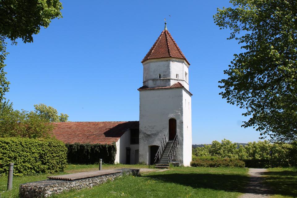
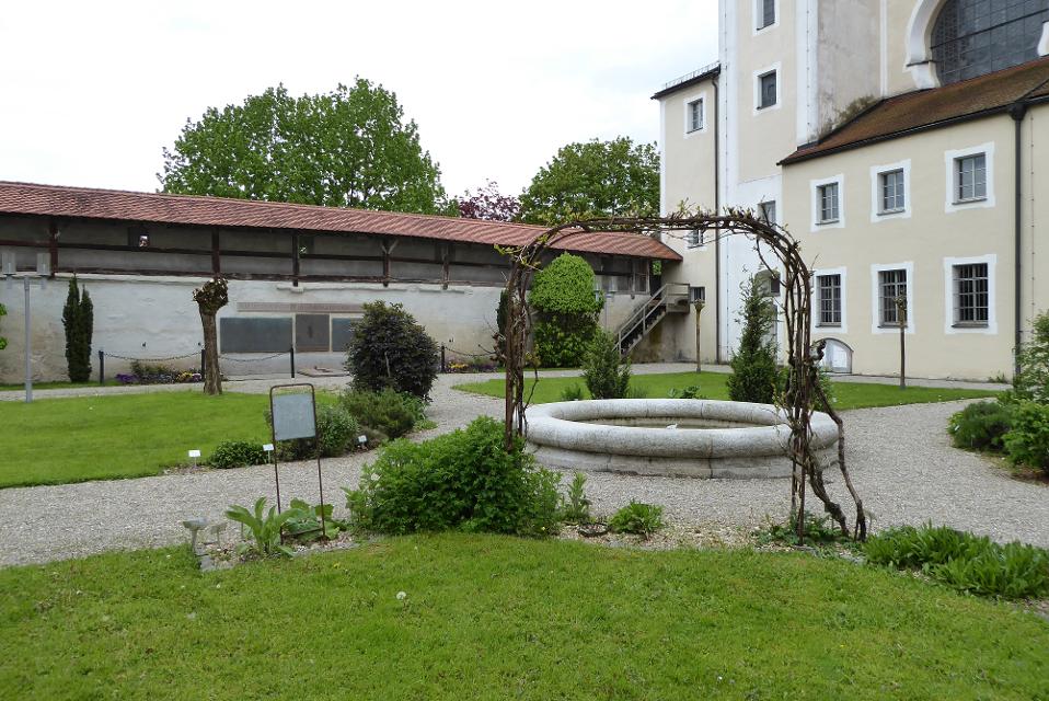
Klostergarten
Karmeliterstraße, 86956 Schongau
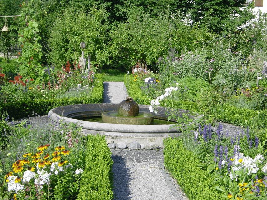
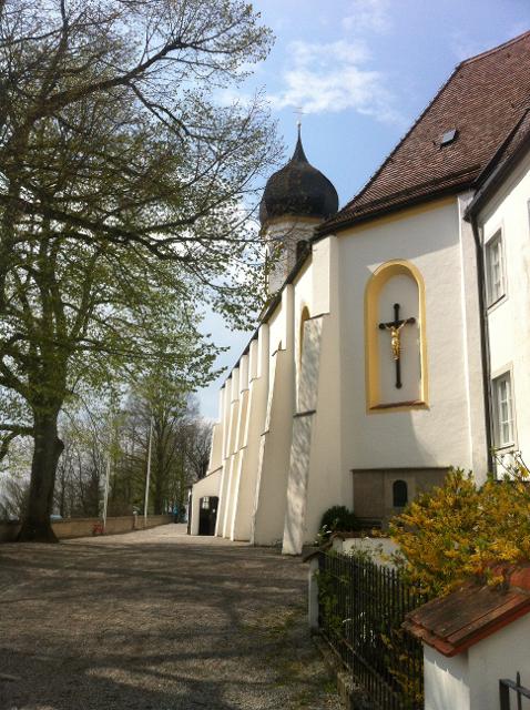
The monastery courtyard of the Heilig-Geist-Spital is located right next to the Heilig-Geist-Spitalkirche St. Anna on the east side of the historic city wall of Schongau. Like the church, it goes back to the work of the Carmelite monks who settled in Schongau at the beginning of the 18th century. Today, various medicinal herbs are grown in the monastery courtyard. Audio commentary on station 9, monastery garden
ca. 0,3 km entfernt
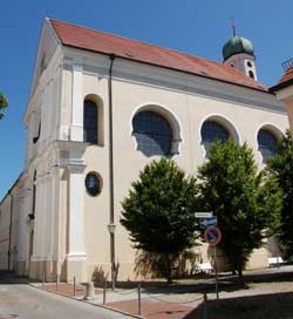
Ehemaliges Kloster der unbeschuhten Karmeliten
Karmeliterstraße, 86956 Schongau
Audiokommentar zur Station 7 - Das Kloster
ca. 0,3 km entfernt
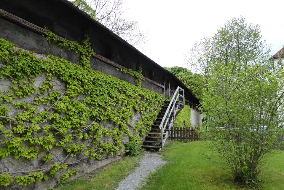
Wehrgang auf der historischen Stadtmauer
Karmeliterstraße, 86956 Schongau
Audiokommentar zur Station 8 - Der Wehrgang
ca. 0,4 km entfernt
Sachsenrieder Bähnle
Sachsenrieder Bähnle - Rad-Erlebnis auf historischen Eisenbahnspuren!
2:35 h 191 hm 197 hm 34,7 km
ca. 0,4 km entfernt
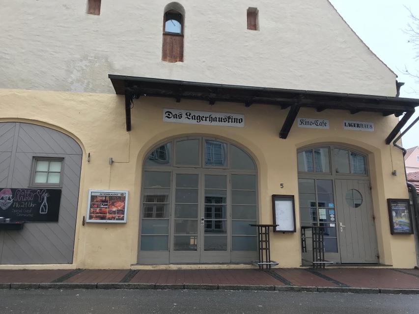
Lagerhauskino, Schongau
Karmeliterstraße 5, 86956 Schongau
Das kleine, etablierte Programmkino mit Holzbalkendecke zeigt Independent-Produktionen und Dokumentarfilme.
ca. 0,4 km entfernt

ca. 0,4 km entfernt
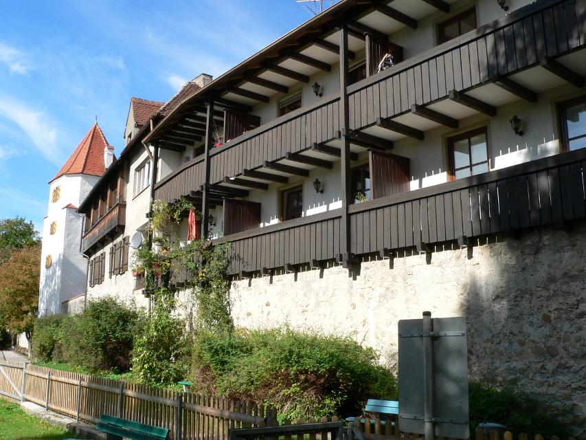
Historisches Ballenhaus
Marienplatz, 86956 Schongau
The Ballenhaus is the only free-standing building on Marienplatz. In the Middle Ages it served as a warehouse and transhipment house. Here the carters had to store their goods packed in bales and declare them. The naming of the building still bears witness to this today. The first floor of the Ballenhaus is also the city‘s old council chamber. Audio commentary on Station 2, Ballenhaus
ca. 0,4 km entfernt
Semerwirt, heute Musikschule
Marienplatz, 86956 Schongau
In the 16th century, merchants who stored their goods in the nearby Ballenhaus stayed at the "Zum Stern" inn. In the current music school, bourgeois palace from the Baroque period; rich stucco work by Franz Schmuzer on the first and second floors; 1902 to 1926 town hall, oldest mention 1580 as inn "Zum Stern". Audio commentary on station 3, Semerwirt, today music school
Das könnte Dir auch gefallen
"Das könnte Dir auch gefallen" überspringen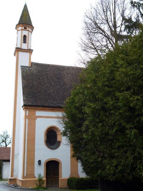
Etappe 3, Nordschleife, Heilige Landschaft Pfaffenwinkel - Von Raisting nach Herrsching
Die dritte Etappe des Fernwanderwegs Heilige Landschaft Pfaffenwinkel führt uns von Raisting über Fischen an den Ammersee. Ein bisschen Zeit sollte man auf dem Weg von Raisting an den Ammersee schon einplanen, denn neben der eindrucksvollen Landschaft, die vor allem durch die weitläufigen Ammerwiesen, die Ammer selbst und natürlich dem Ammersee geprägt ist, gibt es auch einige Bauwerke und Museen zu besichtigen. So befinden sich zum Beispiel in Sölb die schöne Filialkirche St. Margareta, in Fischen die Maria-Hilf-Kapelle und das Kupfermuseum, in dem die Geschichte des Kupferhandwerks bestaunt werden kann, und kurz vor Herrsching schließlich da barocke Schloss Mühlfeld. Erholung bieten die zahlreichen Strandcafés am Ammersee. Hier kann man die Seele einfach mal baumeln lassen.
4:30 h 54 hm 74 hm 14,9 km mittel
König-Ludwig-Weg, 3. Etappe: Paterzell - Hohenpeißenberg
3:44 h 409 hm 333 hm 12,8 km sehr schwer
König-Ludwig-Weg, 5. Etappe, Variante: Rottenbuch - Trauchgau
5:22 h 243 hm 218 hm 20,5 km mittel

König-Ludwig-Weg, 6. Etappe, Variante: Trauchgau - Füssen
6:01 h 332 hm 332 hm 22,3 km mittel
LechErlebnisWeg
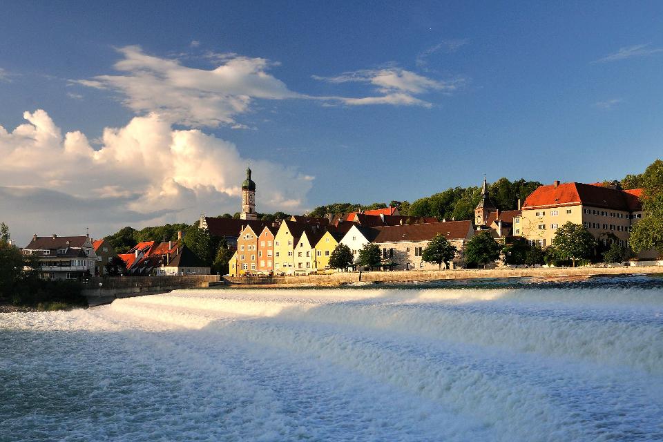
Wandern Sie durch die herrliche Fluss- und Seenlandschaft des Lechs. Natürliche Flussabschnitte, spiegelnde Seen, gemütliche Ortschaften und die historischen Altstädte von Landsberg, Schongau und Füssen bilden die malerische Kulisse dieses Fernwanderweges.
23:00 h 769 hm 496 hm 86,7 km mittel
Etappe 3, Ostschleife, Heilige Landschaft Pfaffenwinkel - Von Bernried nach Penzberg-Promberg
Die dritte Etappe der Ostschleife des Fernwanderwegs Heilige Landschaft Pfaffenwinkel führt uns von Bernried nach Promberg bei Penzberg. Das Highlight dieser Etappe ist der Weg entlang des Starnberger Sees. Wir genießen einen grandiosen Weitblick auf den See und das Alpenmassiv.
3:45 h 122 hm 98 hm 14,3 km mittel
Etappe 4, Nordschleife, Heilige Landschaft Pfaffenwinkel - Von Herrsching über Andechs nach Pähl
Von Herrsching wandern wir auf der vierten Etappe des Fernwanderwegs Heilige Landschaft Pfaffenwinkel durch das Kiental, eine bis zu 70m tief eingeschnittene Nagelfluhschlucht zum Kloster Andechs. Auf dem Weg nach Andechs tauschen wir das flache Gelände des Ammersees wieder gegen Wald, Wiesen und leichte Hügel. Man sollte sich genug Zeit nehmen, um das berühmte Kloster Andechs zu besichtigen und in der Klosterschänke einen guten Tropfen Bier und leckere regionale Schmankerl zu genießen. Die Geschichte des Klosters geht zurück bis in zehnte Jahrhundert und es ist dank aufwendiger Restaurierungsarbeiten heute noch sehr gut erhalten. Schweren Herzens sagen wir den Leckereien aus der Klosterküche Lebwohl, denn die Strecke führt uns weg vom Kloster Andechs und weiter nach Pähl. Der Ausblick über den Ammersee und die hügelige Landschaft des Pfaffenwinkels, die wir auf dem Weg erleben dürfen, entschädigt dafür aber allemal. Auch die kleine Hartkapelle, deren Geschichte einem kleinen Krimi gleicht und das Gut Kerschlach mit Hofladen, Bäckerei/Café und einem schön angelegten Klostergarten sind Highlights auf dem Weg. In Pähl selbst vor allem die St. Laurentius-Kirche sehenswert.
7:00 h 234 hm 187 hm 16,2 km mittel
Etappe 5, Nordschleife, Heilige Landschaft Pfaffenwinkel - Von Pähl nach Weilheim
Puste ist gefragt - die 21 km der fünften Etappe von Pähl über Wilzhofen und Marnbach nach Weilheim fordern unsere Ausdauer. Dafür werden wir mit vielen schönen Ausblicken über die herrliche Hardtlanschaft und teilweise bis zu den Alpen, Sehenswürdigkeiten sowie grünen Wäldern und Wiesen belohnt. Architektonische Highlights erwarten uns in Weilheim, darunter die Pfarrkirchen Mariä Himmelfahrt und St. Pölten und der Marienplatz sowie die gut erhaltene Stadtmauer. Auch das sogenannte "Museum des Pfaffenwinkels" ist ein Besuch wert. Dort werden Exponate der Region präsentiert und die Geschichte des Pfaffenwinkels näher beleuchtet.
7:00 h 305 hm 322 hm 21,3 km mittel
Etappe 5, Ostschleife, Heilige Landschaft Pfaffenwinkel - Von Benediktbeuern nach Iffeldorf
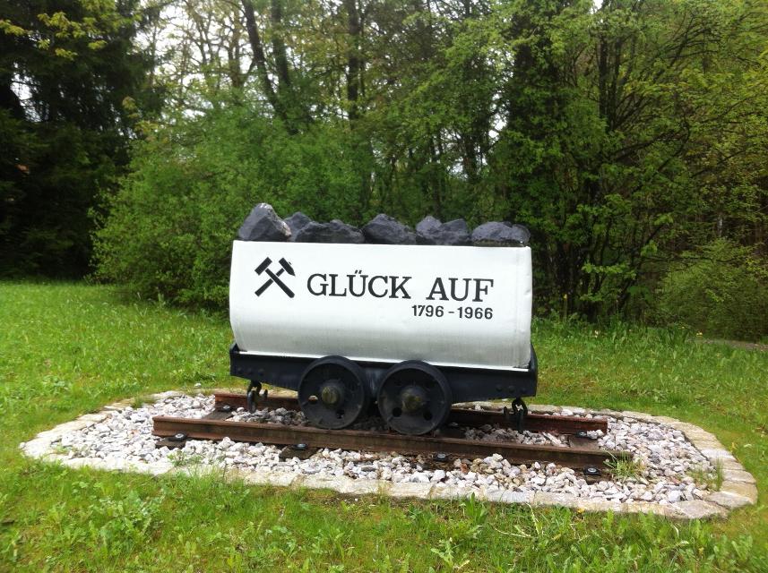
Die fünfte Etappe des Fernwanderwegs Heilige Landschaft Pfaffenwinkel Ostschleife führt uns von Benediktbeuern nach Iffeldorf. Auf dieser Etappe bestaunen wir das Kloster Benediktbeuern, die Heuwinklkapelle und die Kirche St. Vitus in Iffeldorf. In Penzberg wandern wir im Erholungsgebiet Berghalde auf den Spuren des Bergbaus und erfahren Wissenswertes zur Geschichte der Stadt Penzberg.
5:15 h 262 hm 277 hm 20,8 km sehr schwer
Etappe 6, Nordschleife, Heilige Landschaft Pfaffenwinkel - Von Weilheim nach Peißenberg
Die sechste Etappe des Fernwanderwegs Heilige Landschaft Pfaffenwinkel Nordschleife führt uns von Weilheim nach Peißenberg. Falls wir nach der langen fünften Etappe keine Zeit mehr hatten, Weilheim zu besichtigen, so lässt uns die nicht ganz so lange, sechste Etappe dafür genug Zeit im Vorfeld noch durch die Fußgängerzone und über den Marienplatz zu flanieren, die Stadtpfarrkirche Mariae Himmelfahrt zu besuchen und die Kirche St. Pölten - die älteste Weilheimer Kirche, deren Ursprünge bis ins 8. Jh. zurück gehen zu bestaunen. Danach machen wir uns auf den Weg nach Peißenberg. Unterwegs treffen wir erneut auf die Ammer und können in Polling das sehenswerte Klosterdorf (Kloster Heilig Kreuz) und die Stiftskirche St. Salvator der Augustiner Chorherren besuchen.
3:45 h 157 hm 141 hm 12,4 km mittel
Etappe 7, Nordschleife, Heilige Landschaft Pfaffenwinkel - Von Peißenberg auf den Hohen Peißenberg
Die letzte Etappe des Fernwanderwegs Heilige Landschaft Pfaffenwinkel führt uns über eine kurze, aber dennoch anstrengende Strecke zurück zu unserem Ausgangspunkt auf dem Hohen Peißenberg. Frische Beine sind beim Aufstieg zum Hohen Peißenberg sicher nicht schlecht, allerdings nicht unbedingt ein Muß, denn die knapp 6 km und 400 hm kann man auch ganz gemütlich angehen. Je höher wir kommen umso besser wird der Ausblick über den Pfaffenwinkel und wir können noch einmal die Region überblicken, die wir in den letzten Tagen zu Fuß erkunden konnten.
3:15 h 397 hm 3 hm 7,0 km mittel
Etappe 8, Ostschleife, Heilige Landschaft Pfaffenwinkel - Von Peißenberg zum Hohen Peißenberg
Die achte und letzte Etappe der Ostschleife des Fernwanderwegs Heilige Landschaft Pfaffenwinkel führt uns von Peißenberg auf den Hohen Peißenberg. Wir wandern auf abwechslungsreichen und wenig befahrenen Wegen auf den Aussichtsberg des Pfaffenwinkels, wo wir das Ziel des Fernwanderwegs erreichen.
4:00 h 409 hm 40 hm 8,9 km sehr schwer

König-Ludwig-Weg, 4. Etappe: Hohenpeißenberg - Rottenbuch
Diese Tagesetappe sorgt für ungeante Natureindrücke. Bitte die Sicherheitshinweise beachten!
3:45 h 191 hm 201 hm 12,8 km sehr schwer
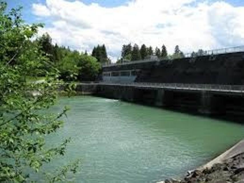
LechErlebnisWeg, 2. Etappe: Mundraching - Schongau
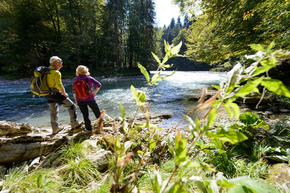
Auf einer ansteigenden Straße verlässt man das Dorf, gelangt zu den Häusern von Forchau und spaziert an einem naturbelassenen Altarm des Lechs entlang, den die unterschiedlichsten Wasservögel bevölkern. Der nächste Ort ist Kinsau.
6:20 h 291 hm 240 hm 23,6 km mittel
Etappe 2, Ostschleife, Heilige Landschaft Pfaffenwinkel - Von Weilheim nach Bernried
Die zweite Etappe des Fernwanderwegs der Ostschleife Heilige Landschaft Pfaffenwinkel führt uns von Weilheim in Oberbayern nach Bernried. Weitläufige Moor- und Sumpfgebiete, idyllische Seen und malerische Wälder begleiten den Weg zum Starnberger See. Auf dieser Etappe führen uns die Vielzahl an Kapellen und Kirchen vor Augen, wie der Pfaffenwinkel zu seinem Namen kam.
5:45 h 319 hm 289 hm 22,6 km mittel
Etappe 4, Ostschleife, Heilige Landschaft Pfaffenwinkel - Von Penzberg-Promberg nach Benediktbeuern
Die vierte Etappe der Ostschleife des Fernwanderwegs Heilige Landschaft Pfaffenwinkel führt uns von Promberg zur Klosteranlage in Benediktbeuern. Auf dem Weg kann man die Kirche in Nantesbuch und die Filialkirche St. Georg in Bichl bestaunen, ehe eine der beliebtesten Sehenswürdigkeiten des Pfaffenwinkels erreicht wird.
3:45 h 56 hm 61 hm 13,7 km mittel
Etappe 6, Ostschleife, Heilige Landschaft Pfaffenwinkel - Von Iffeldorf nach Huglfing
Die sechste Etappe der Ostschleife des Fernwanderwegs Heilige Landschaft Pfaffenwinkel führt uns von Iffeldorf nach Huglfing, durch das wunderschöne Gebiet der Osterseen und durch dichte Wälder. Diese Tour verspricht viel Natur im Pfaffenwinkel.
5:45 h 148 hm 159 hm 25,6 km sehr schwer
Westschleife "Wilde Flüsse" - Heilige Landschaft Pfaffenwinkel
Drei Mehrtageswanderungen führen durch die schönsten Ecken des oberbayerischen Pfaffenwinkels, dessen Kultur über Jahrhunderte durch zahlreiche Klöster geprägt wurde. Die ruhigen Wanderwege verbinden Kirchen, Klöster und Kraftorte in der Natur. Die drei Pilgerwege starten und enden am Hohen Peißenberg, der einen Rundblick über die gesamte Region bietet und als bedeutender Wallfahrtsort dafür prädestiniert ist. „Wilde Flüsse“ - Ammer und Lech prägen die Landschaft der Westschleife. Die etwas kürzeren, aber hügeligeren und anspruchsvolleren 6 Tagesetappen mit 76 km verbinden Highlights wie die wild-romantische Ammerschlucht, den Brettleweg durch das Wiesfilz oder die Besteigung des Auerbergs mit den Klosterorten Rottenbuch, Steingaden und Schongau und den bedeutendsten Kirchen der Region u.a. dem UNESCO Welterbe Wieskirche.
21:01 h 1306 hm 1337 hm 76,0 km
Etappe 7, Ostschleife, Heilige Landschaft Pfaffenwinkel - Von Huglfing nach Peißenberg
Die siebte Etappe der Ostschleife des Fernwanderwegs Heilige Landschaft Pfaffenwinkel führt uns von Huglfing nach Peißenberg zur Böbinger Ammerbrücke. Auf abwechslungsreichen Wegen wandern wir durch die malerische Hügellandschaft des Pfaffenwinkels, ehe ab Buchen der anspruchsvolle Abstieg zur Ammerbrücke beginnt.
4:00 h 389 hm 385 hm 15,3 km mittel
Etappe 1, Ostschleife, Heilige Landschaft Pfaffenwinkel - Vom Hohen Peißenberg nach Weilheim
Die erste Etappe der Ostschleife des Fernwanderwegs Heilige Landschaft Pfaffenwinkel führt uns vom Hohen Peißenberg nach Weilheim in Oberbayern. Wir durchqueren die sanfte Hügellandschaft des Voralpenlandes und genießen herrliche Ausblicke auf das Alpenmassiv. Auf dem Weg kommen wir an mehreren Kapellen vorbei, wandern an der Ammer entlang und können wir die Kirchen Peißenbergs und Pollings bestaunen.
5:10 h 66 hm 466 hm 18,8 km mittel