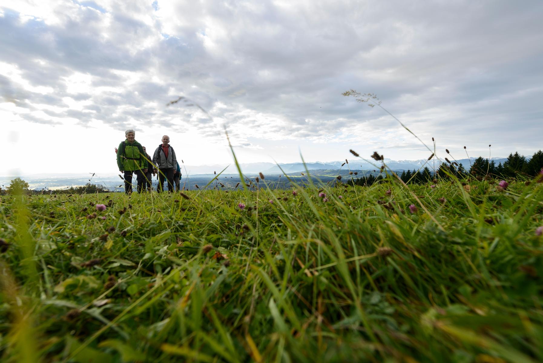


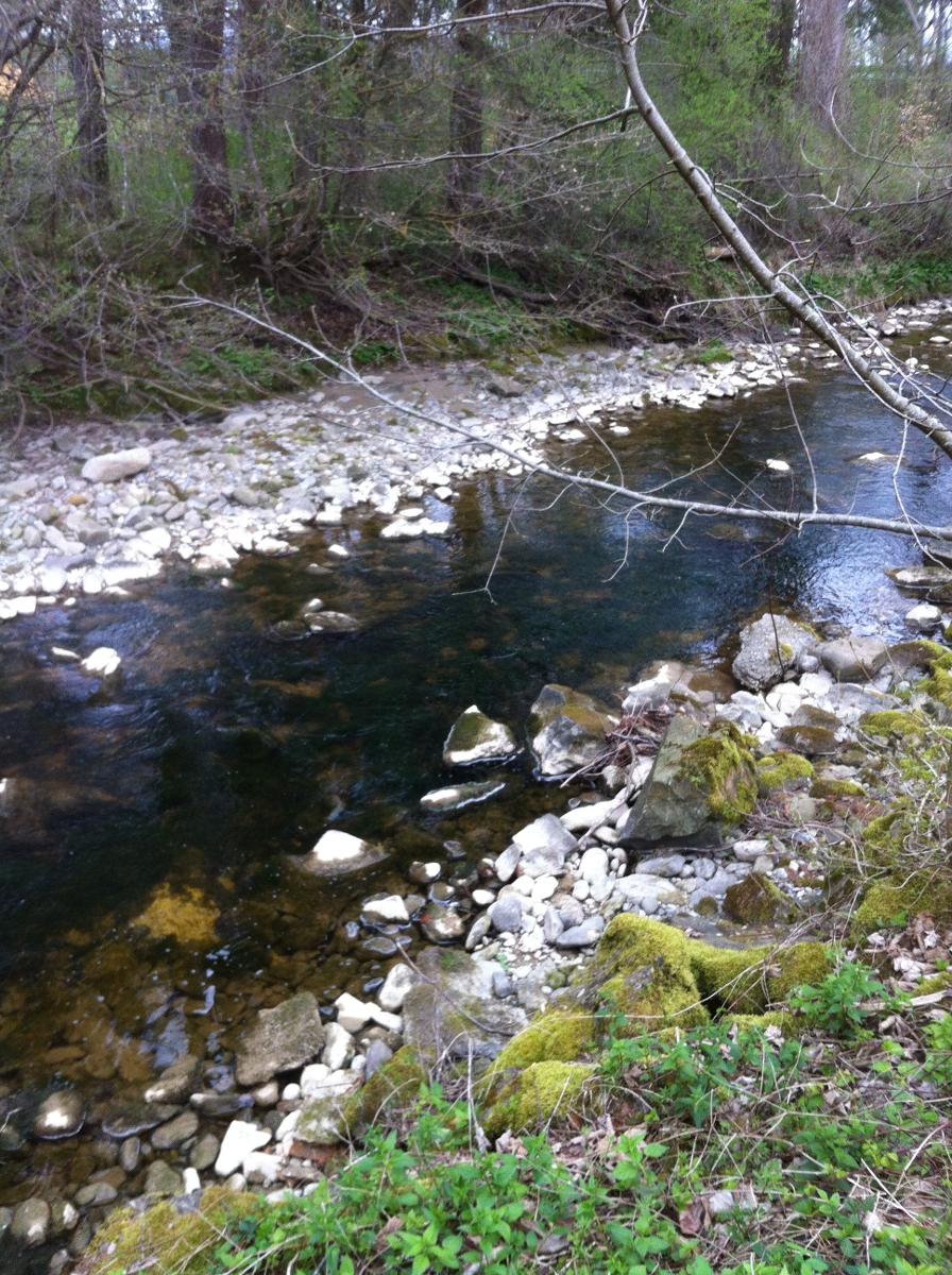


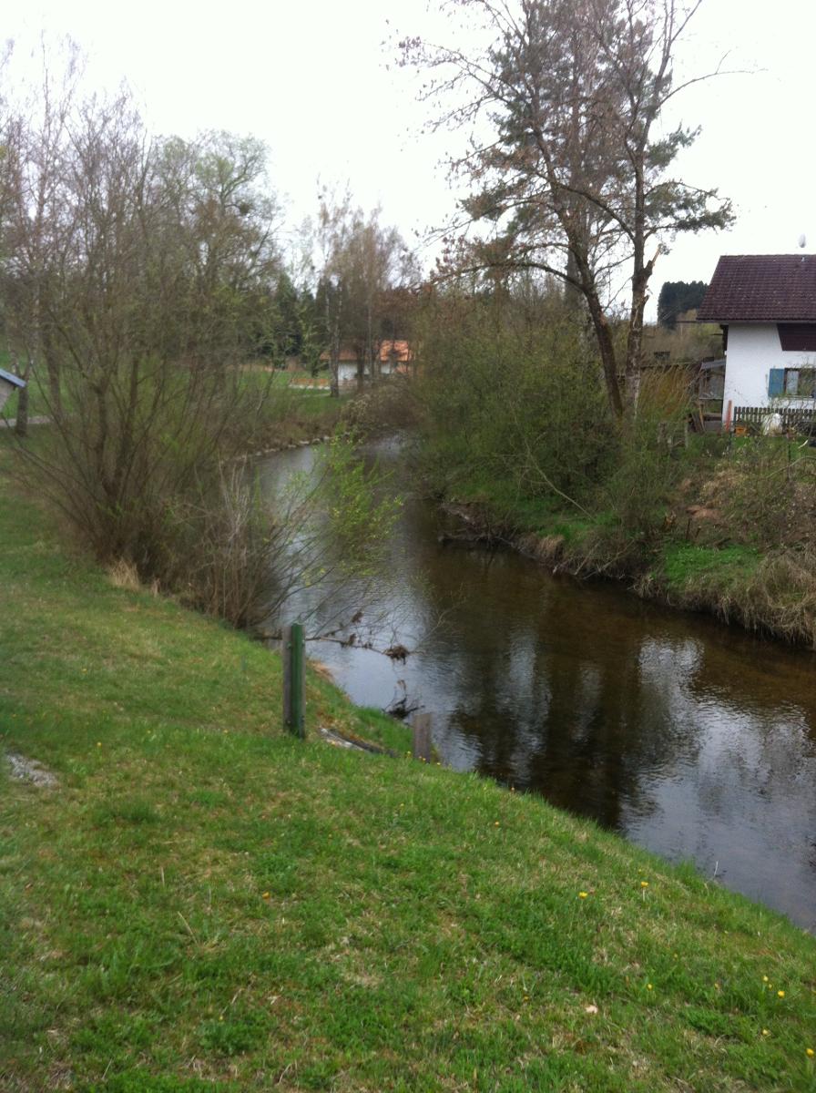
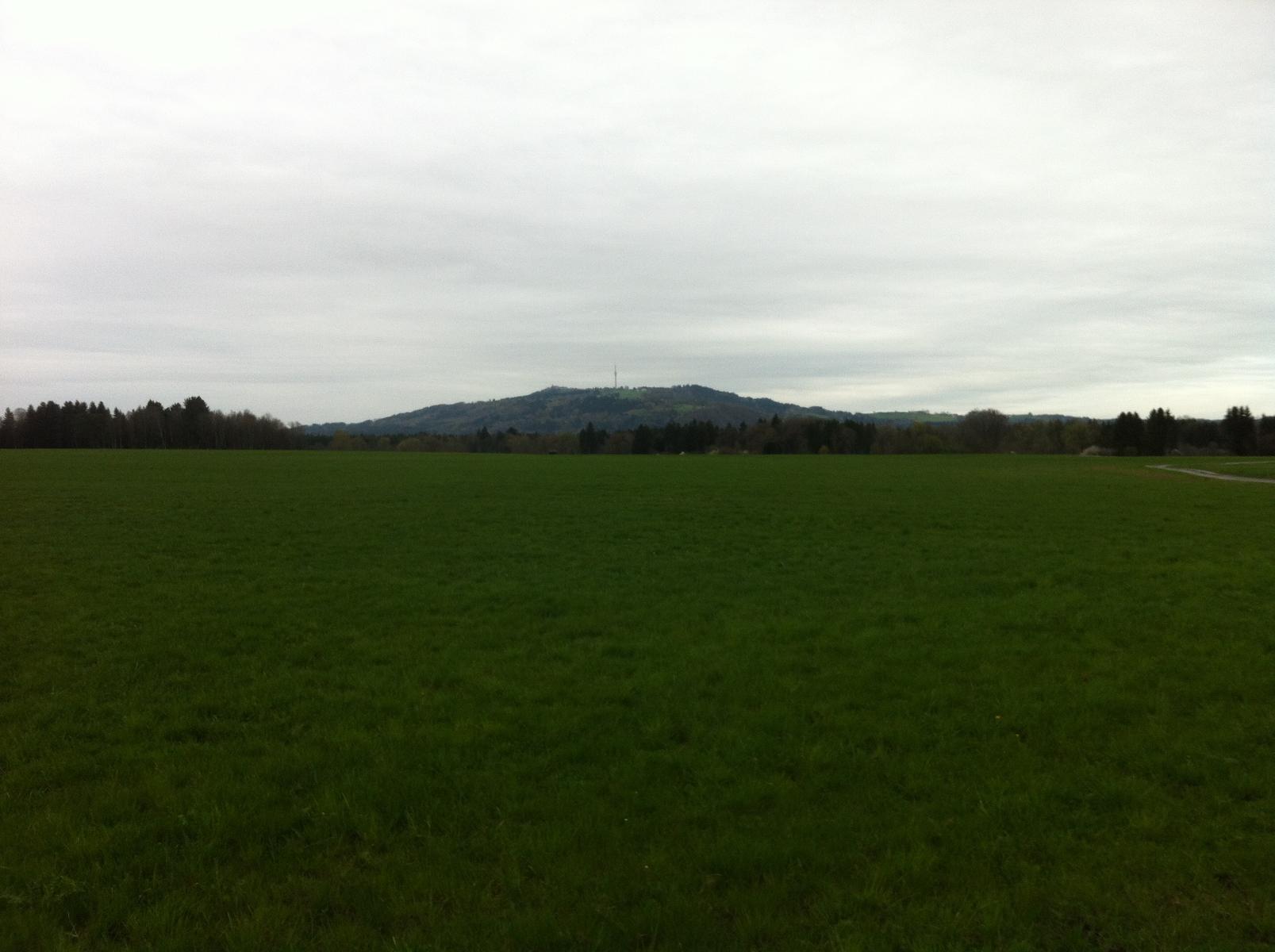
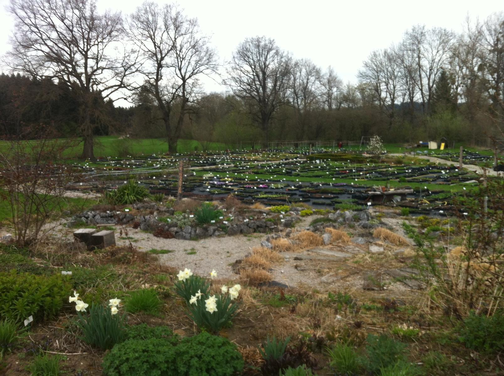

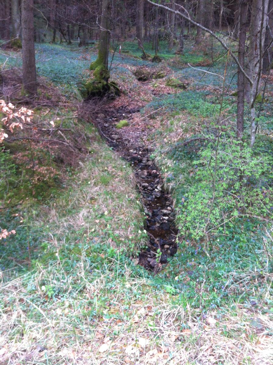


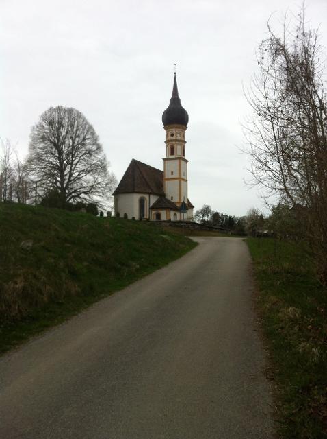
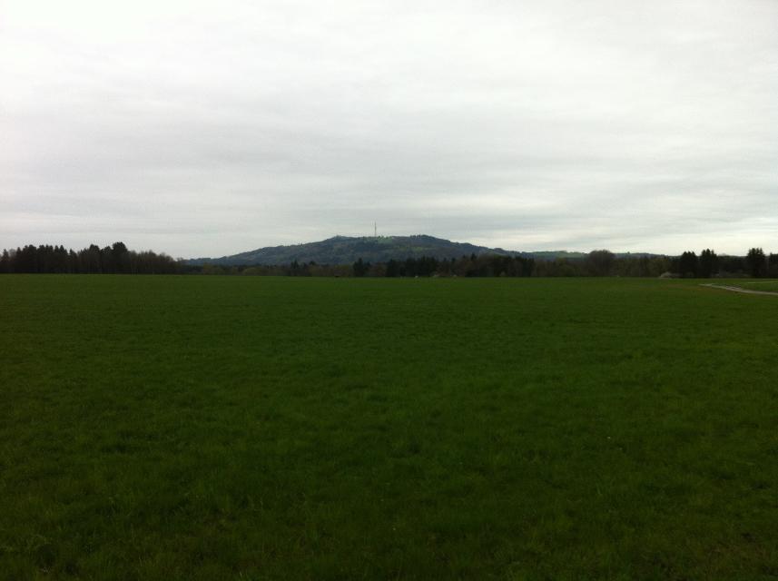
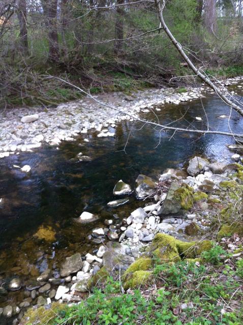
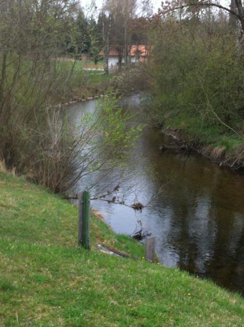
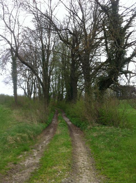
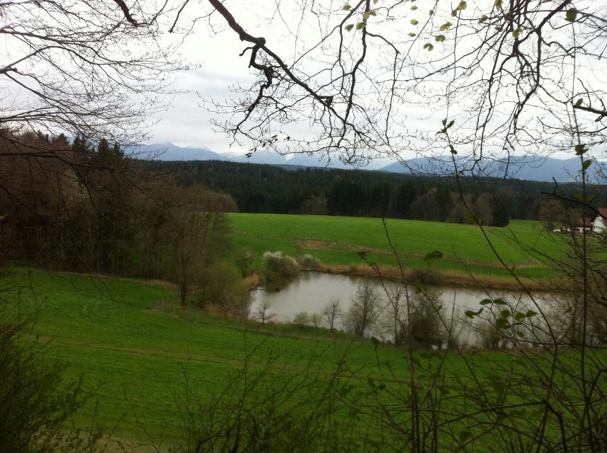
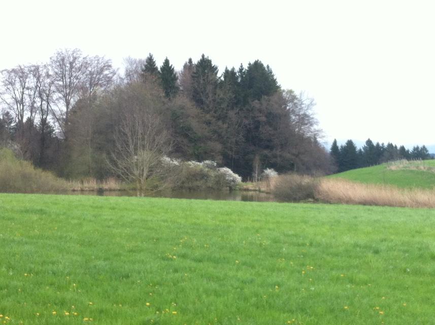
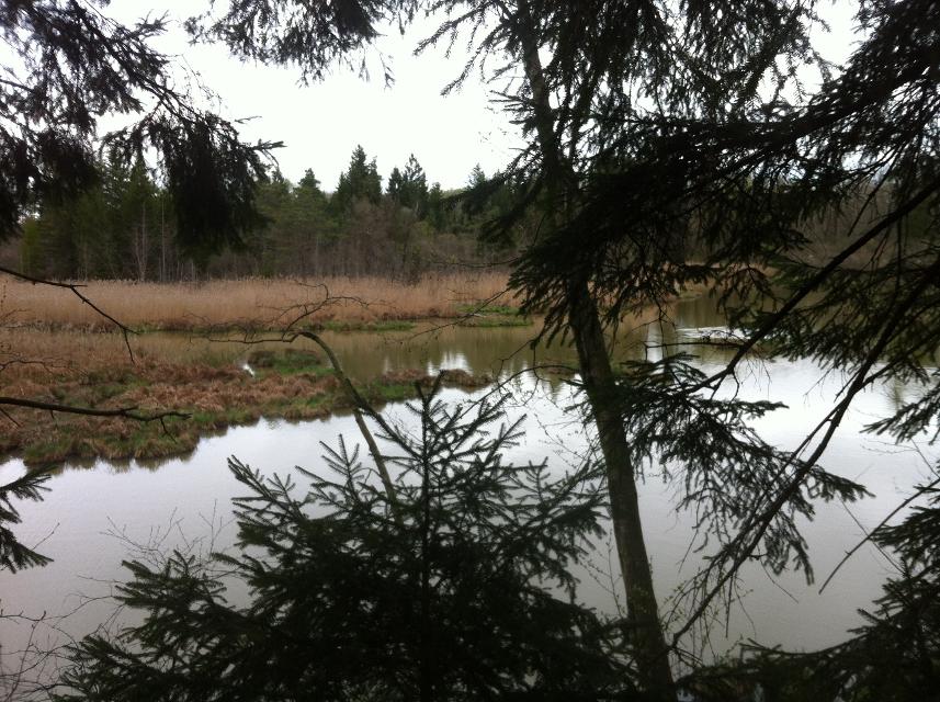
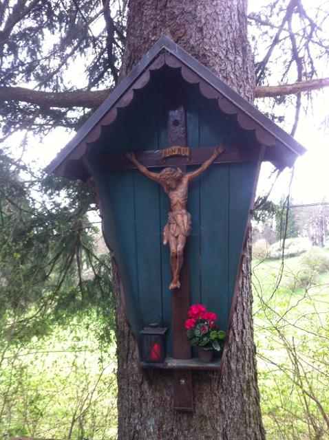
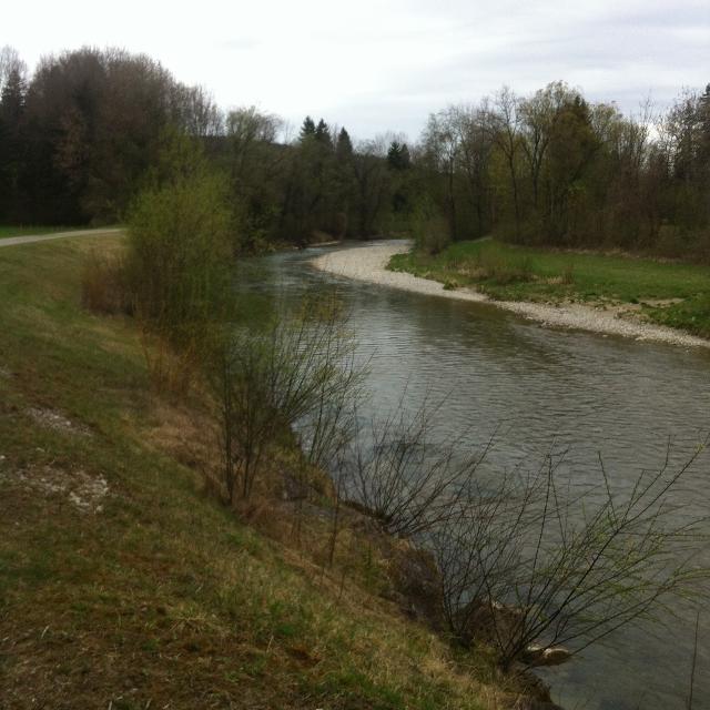
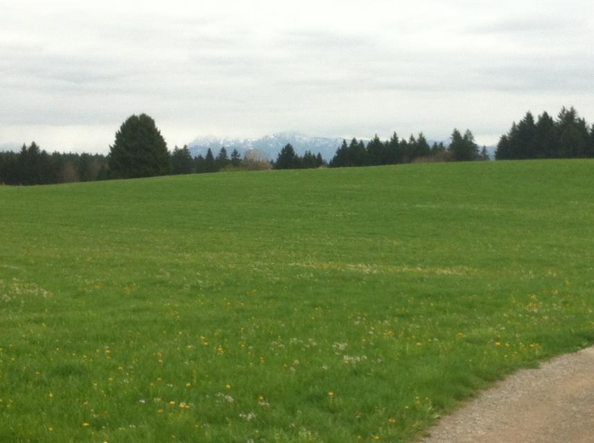
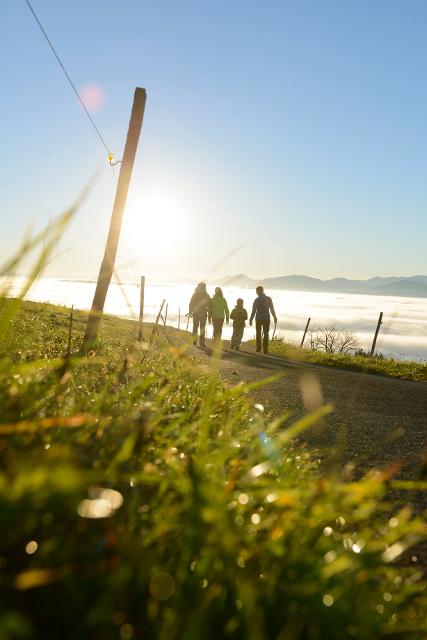
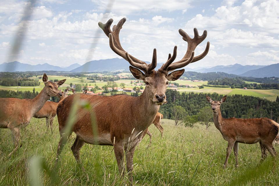
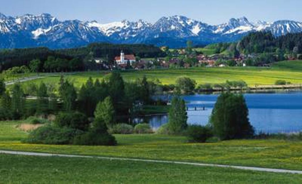
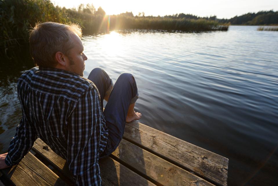
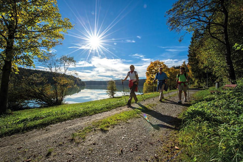
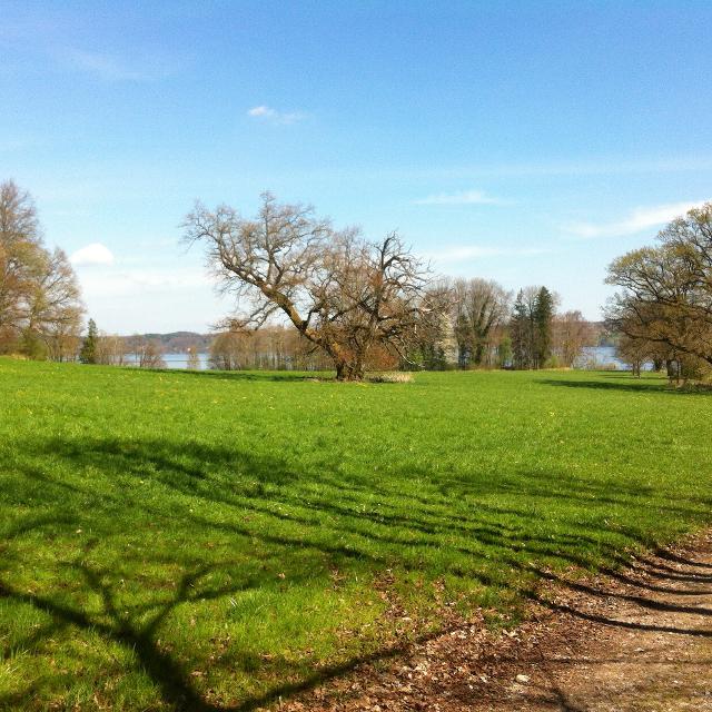
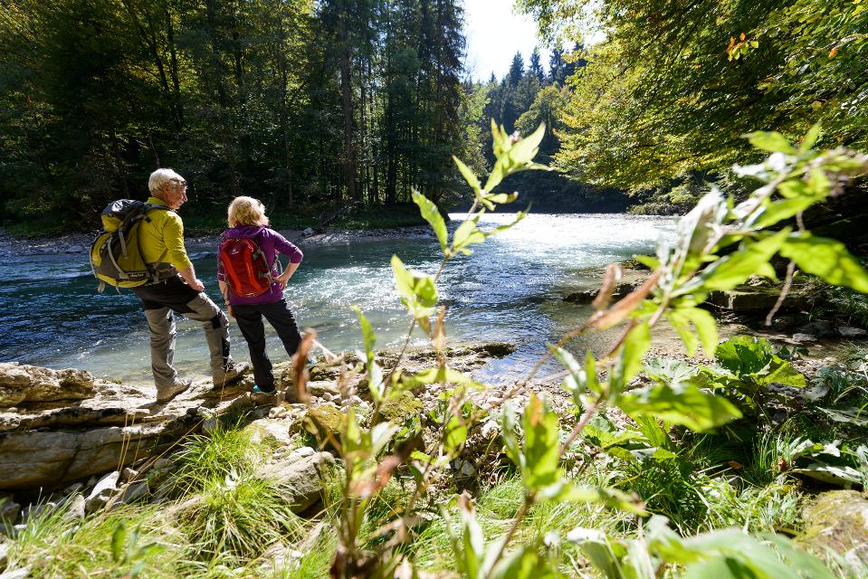
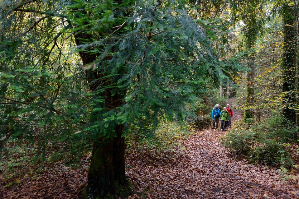
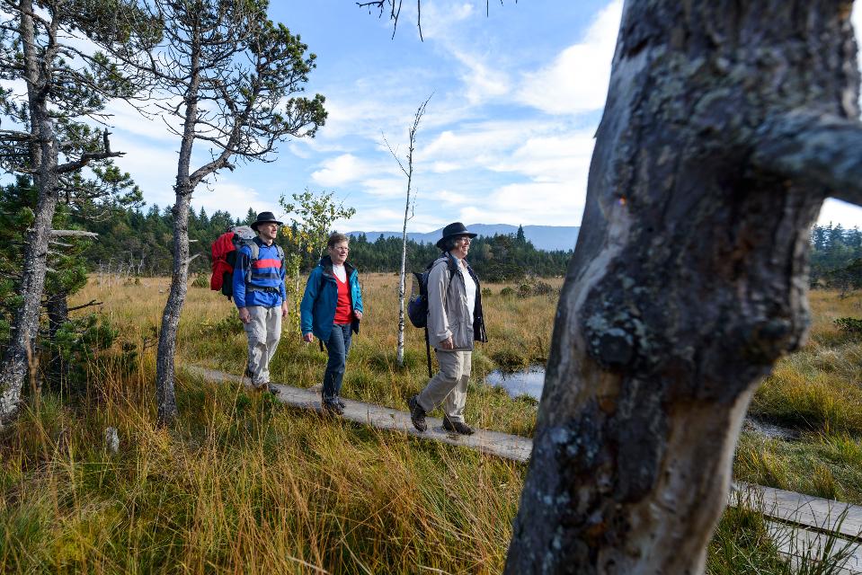
Der St. Nikolaus-Weg ist eine romantische Wanderung durch die ausgedehnten Wälder um Kreilhof, St. Nikolaus und Achberg. Die Wege an der Ach und der Eyach entlang sorgen mit wenigen Höhenmetern für Erholung und Natur pur. An mehreren Aussichtspunkten kann man einen herrlichen Weitblick auf die Alpenkette und den Hohen Peißenberg genießen.
Beschildert: Nr. 67, grün
-
Aufstieg: 129 hm
-
Abstieg: 129 hm
-
Länge der Tour: 10,8 km
-
Höchster Punkt: 686 m
-
Differenz: 103 hm
-
Niedrigster Punkt: 583 m
Schwierigkeit
mittel
Kondition
mittel
Panoramablick
mittel
Saisonale Eignung
-
JAN
-
FEB
-
MRZ
-
APR
-
MAI
-
JUN
-
JUL
-
AUG
-
SEP
-
OKT
-
NOV
-
DEZ
Merkmale Touren
Aussichtsreich
Geologische Highlights
Faunistische Highlights
Rundweg
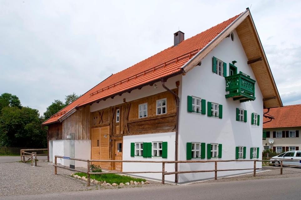
In Kreilhof gibt es keine ausgeschilderten Parkplätze.


Hier befindet sich auch


Essen in der Nähe
"Essen in der Nähe" überspringen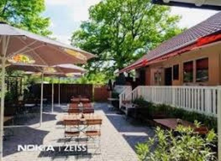
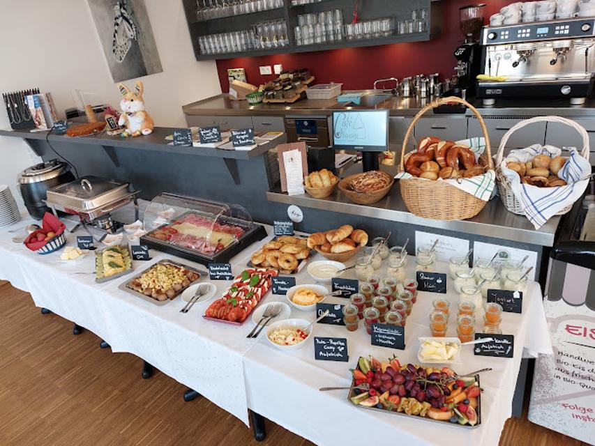
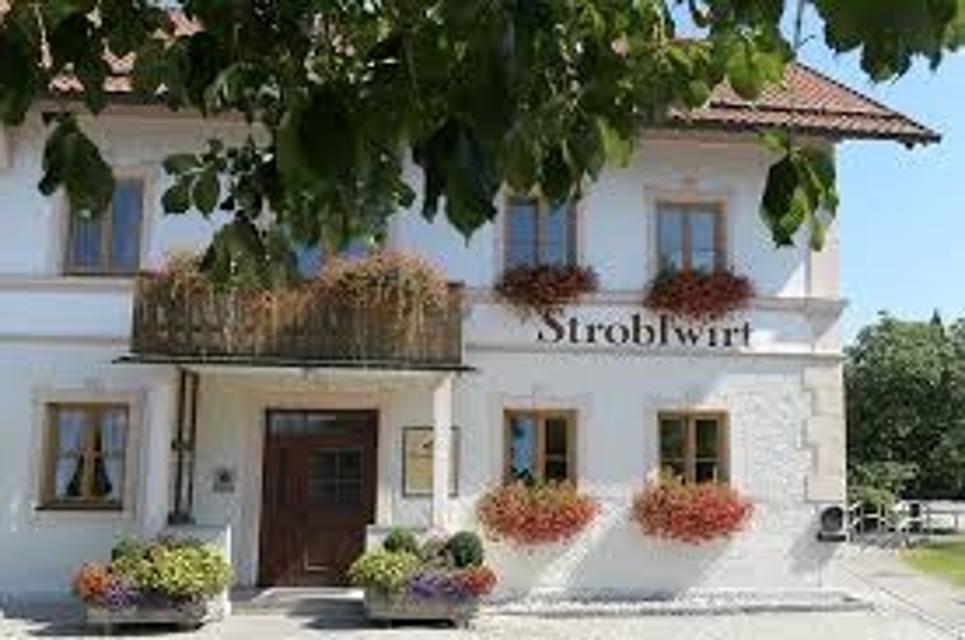
ca. 3,5 km entfernt
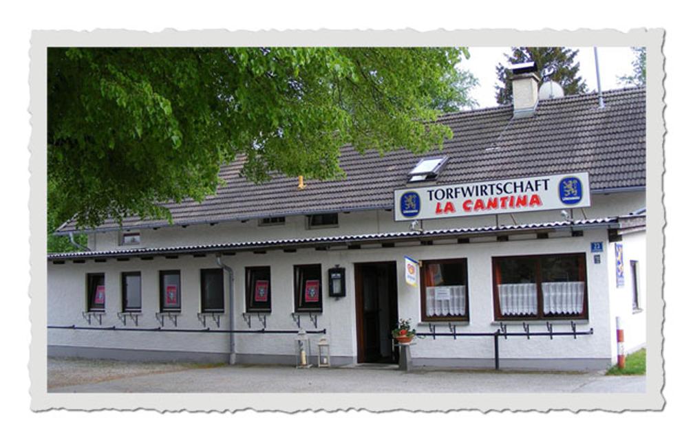
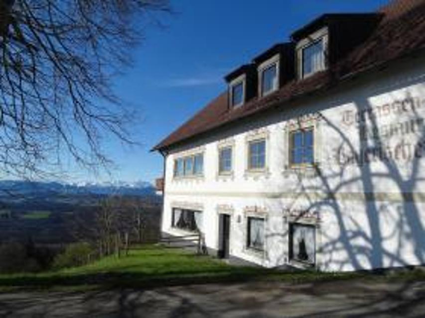
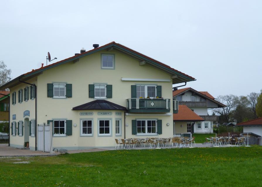
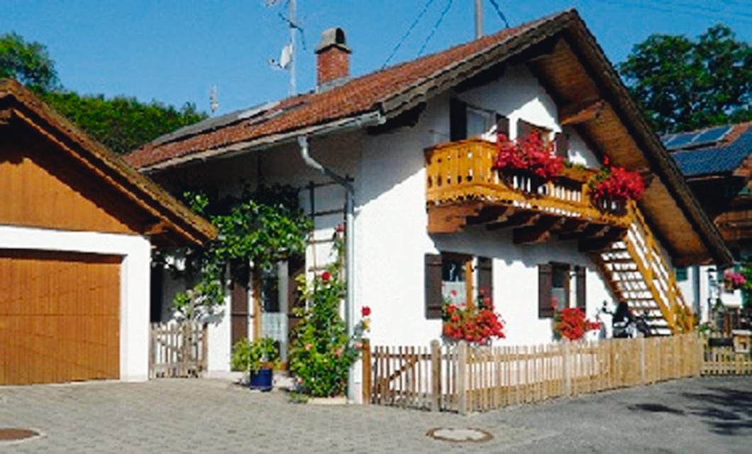
Gasthaus Strobl
Dorfstr. 6, 82386 Oberhausen
Ihr gemütliches Landgasthaus im Herzen des Pfaffenwinkels.
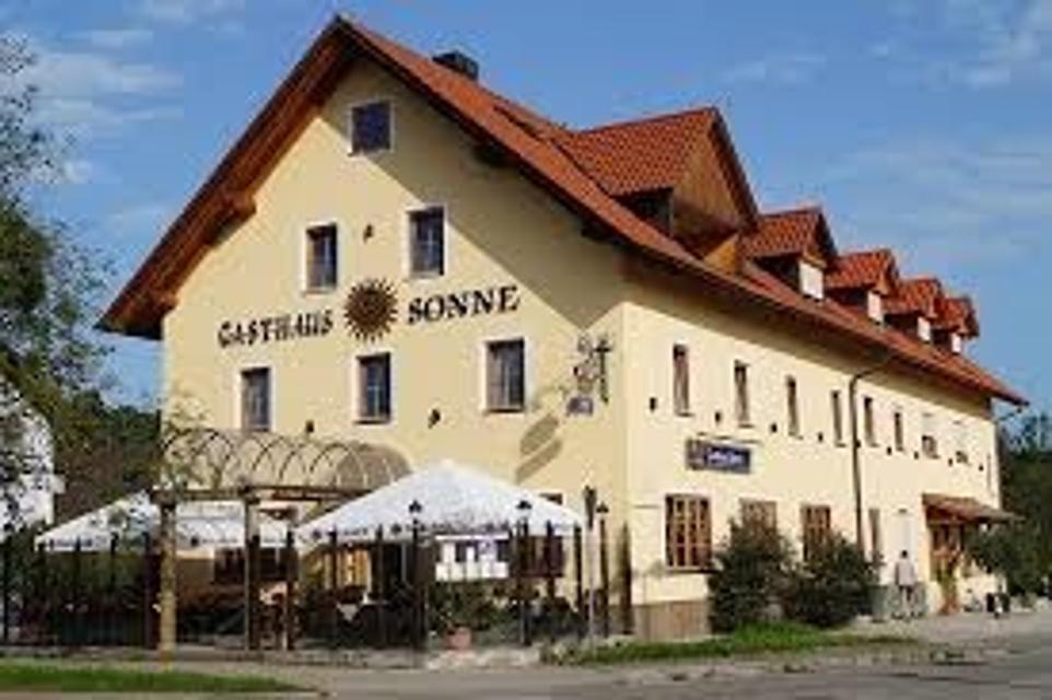
ca. 3,6 km entfernt
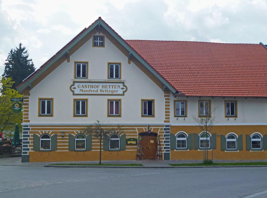
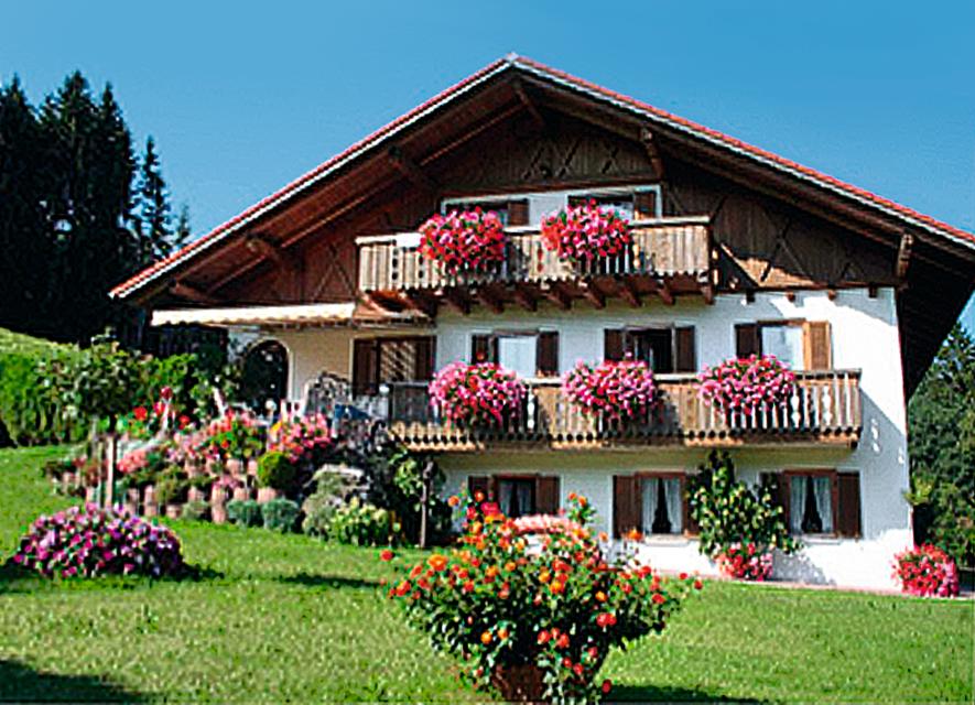
Gasthof Sonne
Hauptstraße 92, 82380 Peißenberg
Gemütliches Hotel und Gasthaus Sonne in Peißenberg südlich vom Ammersee. Moderne Zimmer, Restaurant, Natur
ca. 5,3 km entfernt
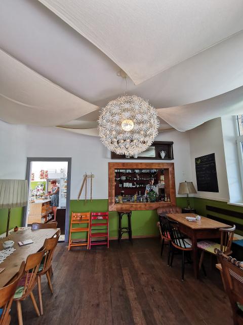
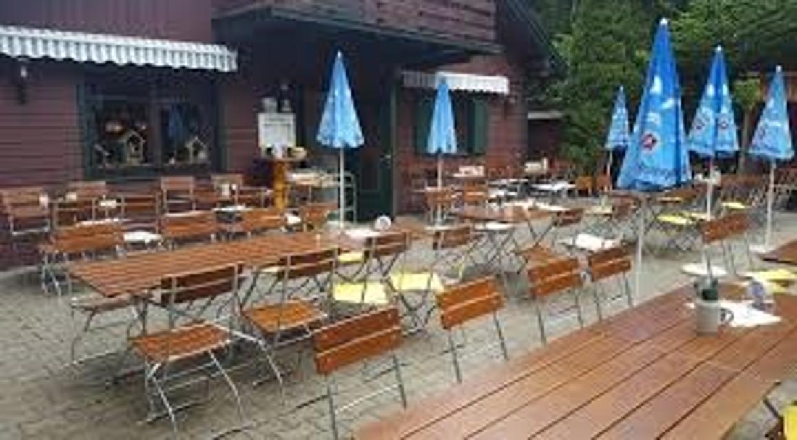
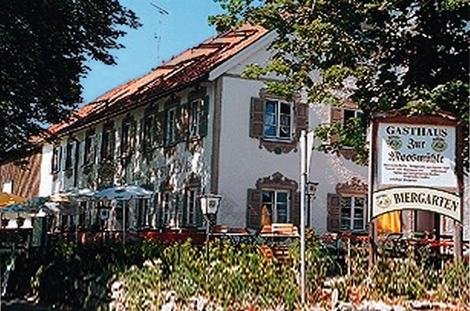
Gaststätte Alter Wirth
Hauptstr. 25, 82386 Huglfing
Das urige Gasthaus bietet nicht nur beste bayerische Hausmannskost und regionale Küche, sondern auf Wunsch auch ausgefallenere Köstlichkeiten . Dies haben wir Chefkoch Silvio zu verdanken, da er seinen Beruf unter einem französischen Küchenchef erlernen durfte.
ca. 5,4 km entfernt
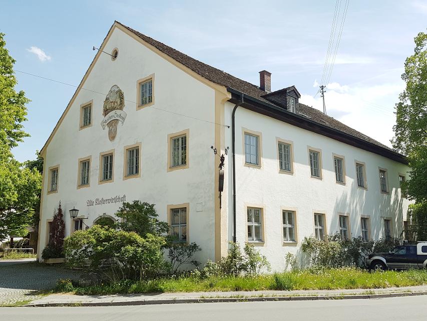
Klosterwirtschaft
Weilheimer Str. 12, 82398 Polling
Die Alte Klosterwirtschaft ist ein ideales Ausflugsziel im oberbayerischen Pfaffenwinkel.
ca. 6,5 km entfernt
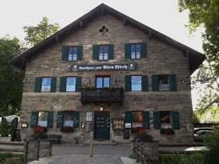
Gaststätte Bayerischer Rigi
M. Günther-Pl. 2, 82383 Hohenpeißenberg
Schweinshaxe, Jägerbraten und Staffelseezander im zünftigen Wirtshaus mit Panoramaterrasse auf 1000 m Höhe.
ca. 6,9 km entfernt
Trifthofstüberl
Trifthofstr. 57, 82362 Weilheim
In diesem gemütlichen und rustikalen Lokal wird Ihnen gutbürgerliche Küche serviert. In zwei getrennten Räumen ist Platz für bis zu 50 Personen. Am separaten Imbiss im separaten vorderen Bereich können Sie täglich (ausser Wochenende) ab 7.00-14:00 Uhr frisch zubereitete Speisen mitehmen.
ca. 7,3 km entfernt
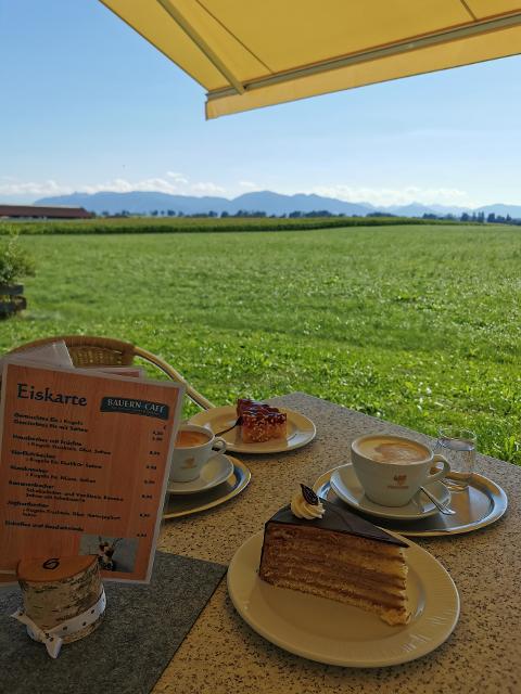
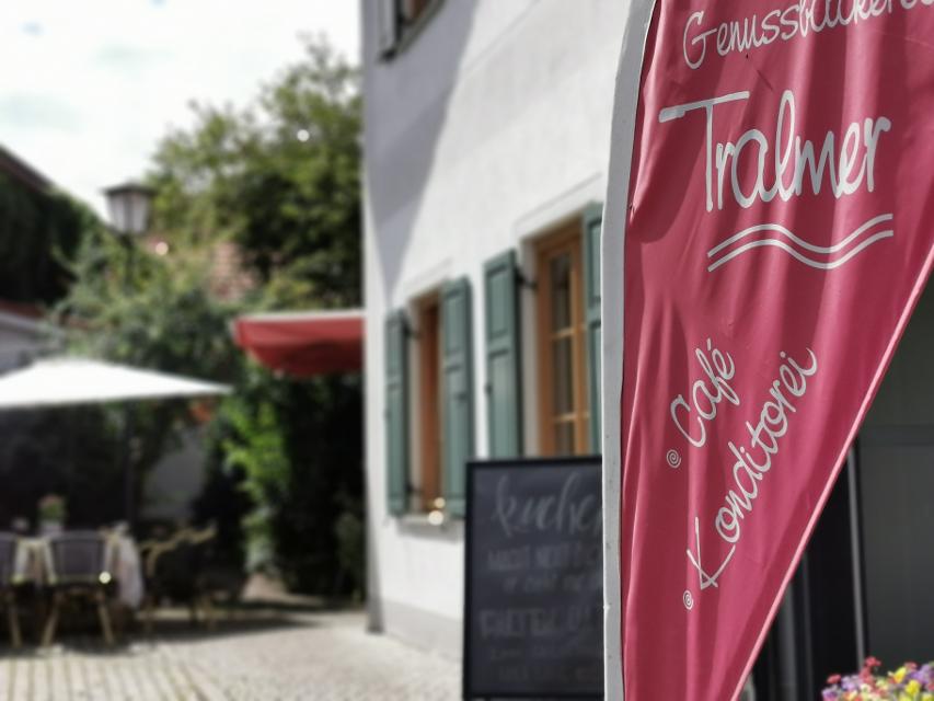
Bauern-Café
Huglfinger Straße 23, 82436 Eglfing-Tauting
Cafe mit hausgemachten Kuchen, Torten und Laden mit eigenem Hofkäse, Honig u.v.a. mit Blick übers Blaue Land in die Berge!
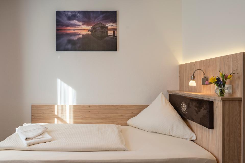
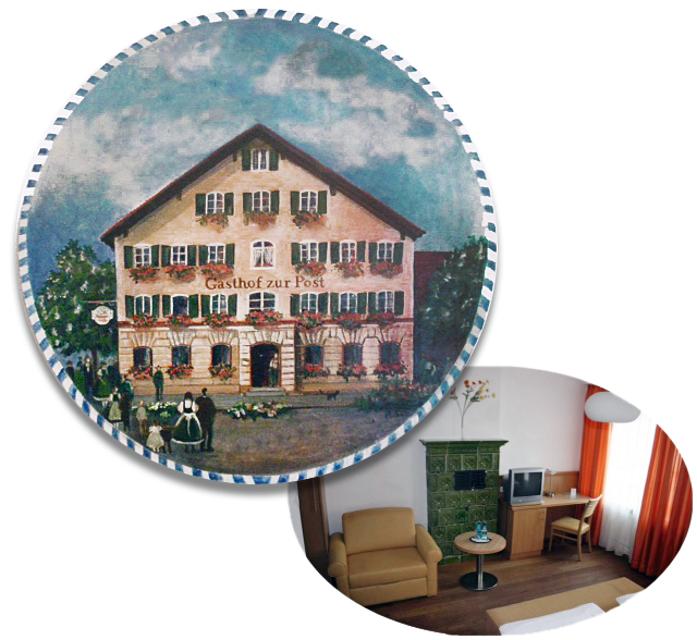
Unterkünfte in der Nähe
"Unterkünfte in der Nähe" überspringen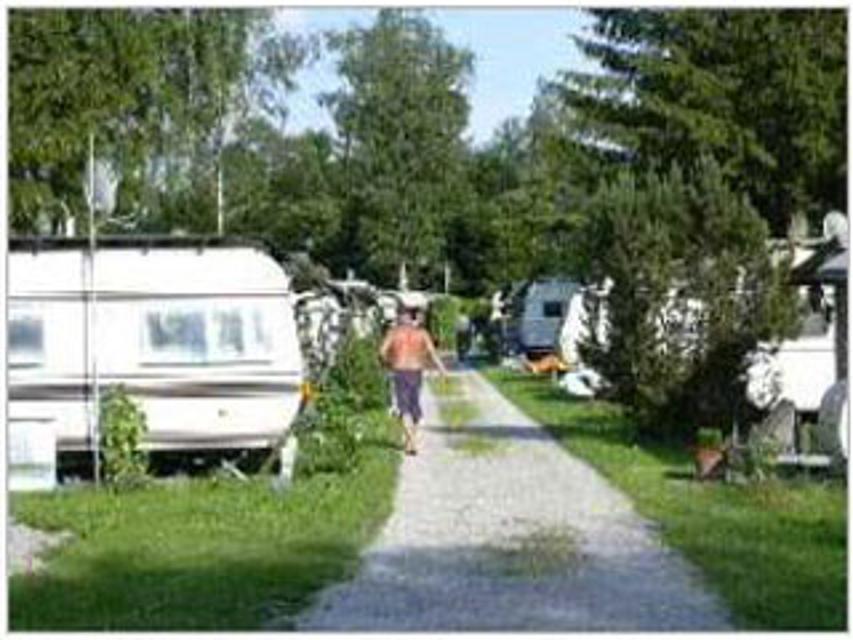
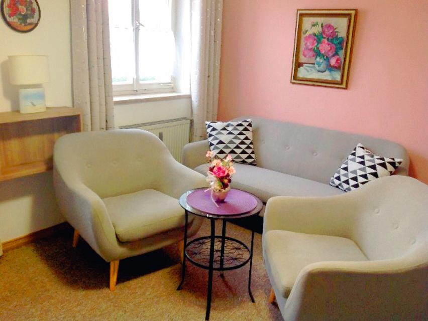
ca. 1,8 km entfernt
ca. 3,3 km entfernt
Wohnmobilstellplatz Alte Bergehalde Peißenberg
Zur Alten Bergehalde 8, 82380 Peißenberg
Der neu eingerichtete Wohnmobilstellplatz "Alte Bergehalde" bietet nahezu Full-Service für wenig Geld.
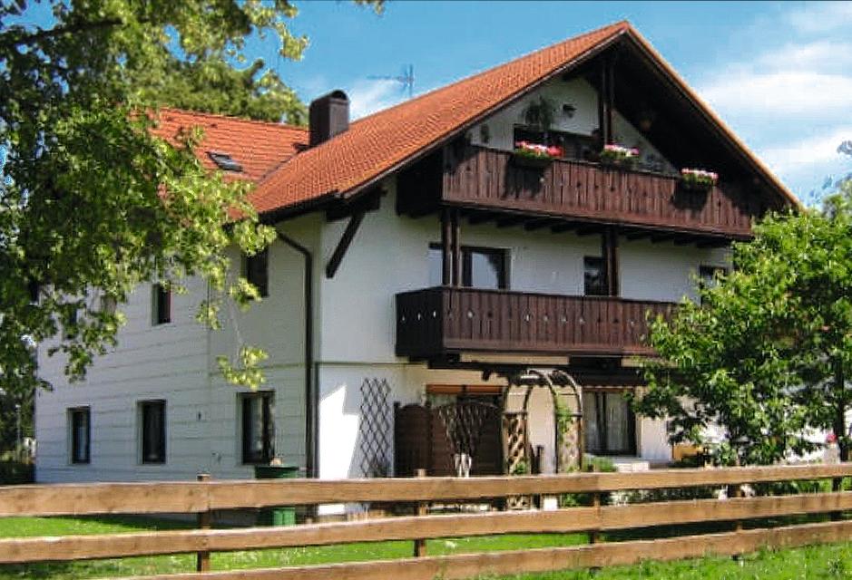
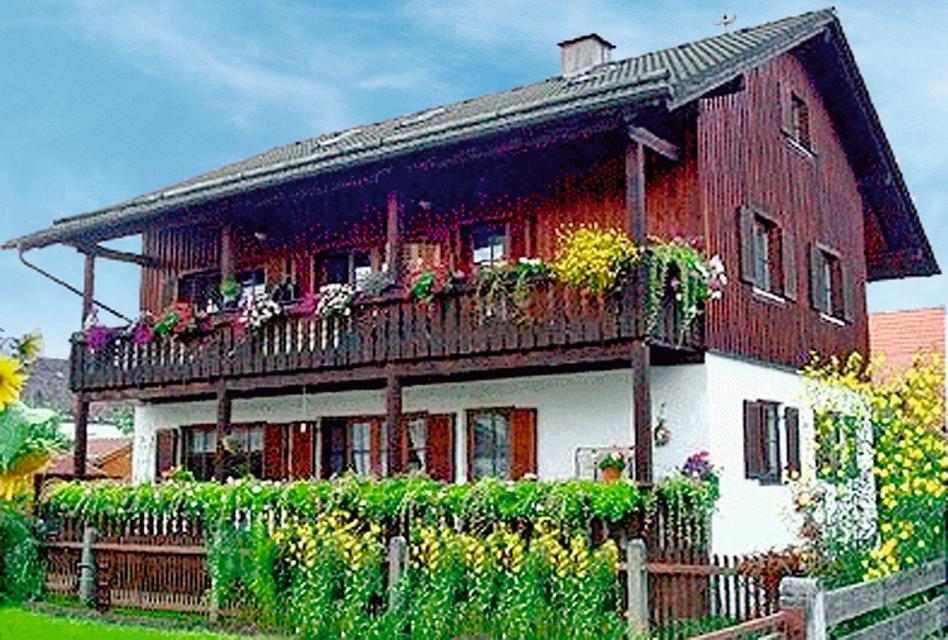
ca. 3,4 km entfernt
Granerhof Ferien GbR
Grambacherweg 11, 82389 Böbing
Wir Rudolfs lieben das Landleben auf unserem Hof am Ortsteil Granerhof in Böbing. Sie suchen nach einem liebenswerten Bauernhof mit viel Ruhe? Dann schauen Sie doch bei uns vorbei! Erwachsene wie Kinder fühlen sich bei uns auf dem Hof wohl und es ist für jeden etwas auf unserem Bauernhof dabei.
ȚȚȚȚ
Weitere Tipps in der Nähe
"Weitere Tipps in der Nähe" überspringen
ca. 0,1 km entfernt
Das könnte Dir auch gefallen
"Das könnte Dir auch gefallen" überspringen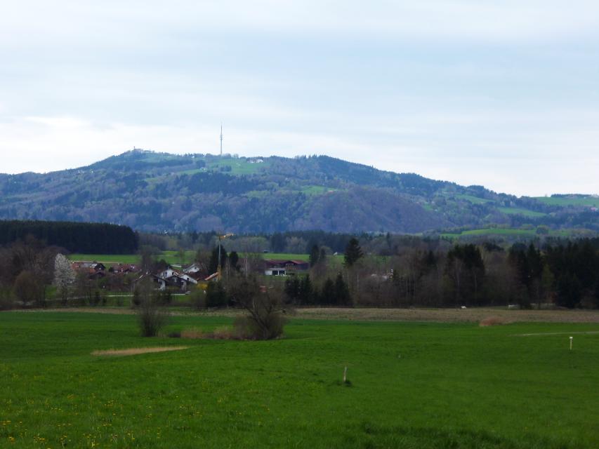
Etappe 7, Ostschleife, Heilige Landschaft Pfaffenwinkel - Von Huglfing nach Peißenberg
Die siebte Etappe der Ostschleife des Fernwanderwegs Heilige Landschaft Pfaffenwinkel führt uns von Huglfing nach Peißenberg zur Böbinger Ammerbrücke. Auf abwechslungsreichen Wegen wandern wir durch die malerische Hügellandschaft des Pfaffenwinkels, ehe ab Buchen der anspruchsvolle Abstieg zur Ammerbrücke beginnt.
4:00 h 389 hm 385 hm 15,3 km mittel
Auerbergland@venture-Route
Die Erlebnis-Radrunde zu Kultur und Natur um den Auerberg.
9:20 h 1047 hm 997 hm 128,0 km sehr schwer
Pfaffenwinkel-Panorama-Tour
Mit 988 Metern Höhe markiert der Hohe Peißenberg den schönsten Aussichtspunkt im Pfaffenwinkel.
6:55 h 1386 hm 1386 hm 123,0 km sehr schwer
Höllfilzweg
Die Gemeinde Antdorf in Oberbayern besticht mit ihrer traumhaften Lage nahe der Osterseen und unweit von Penzberg. Wenig frequentierte Wanderwege und Wiesenpfade sorgen auf dem gemütlichen Spazierweg für Erholung in der pfaffenwinkler Landschaft. Grüne Sommerwiesen vor einem prächtigen Alpenpanorama, historische Kirchen und eine kleine Kapelle versprechen Wandervergnügen im Voralpenland. Beschildert: Nr. 7, blau
2:15 h 85 hm 85 hm 8,4 km mittel
Klosterweiher-Weg
Der Klosterweiherweg ist eine ausgedehnte und idyllische Runde in der typischen Moränenlandschaft um Bernried. Die fünf Weiher, die dieser Weg verbindet. entstanden in einer wirtschaftlichen Verbindung zu dem früheren Kloster der Augustinerchorherren und sind heute schöne Orte der Meditation.
4:30 h 139 hm 144 hm 13,3 km mittel
Kultur - Ammerschlucht
Die Tour führt über Stufen, Stege und Brücken durch die ungebändigte Ammerschlucht und durch wildromantische Mischwälder. Der Weg entlang der Schlucht und der Pfad an der Reitnerbachklamm fordern die Trittsicherheit der Wanderer. Die zum Teil herausfordernden Wege werden mit außergewöhnlichen Ausblicken belohnt. Beschildert: Nr. 88, rot
6:00 h 211 hm 211 hm 21,1 km mittel
Naturwunder-Tour
Über grüne Wiesen, flache Hügel und ruhige Wälder zum Naturschutzgebiet Litzauer Schleife. Hier ist Lech nahezu unberührt und bietet vielen Pflanzen und Tieren einen einzigartigen Lebensraum. Atemberaubende Aussichten inklusive. Beschildert: B2, grün
2:05 h 59 hm 59 hm 8,1 km sehr leicht
Hardtrunde (lang)
Die ausgedehnte Runde führt über weite Strecken durch die einzigartige Hardtlandschaft mit Hoch- und Niedermooren, Magerrasen- und Streuwiesengebieten sowie weitläufigen Wäldern. Auf dem landschaftlich äußerst reizvollen Weg über kaum befahrene Sträßchen und ruhige Forstwege genießen Spaziergänger immer wieder traumhafte Ausblicke auf die Alpenkette. Beschildert: Nr. 44, rot
2:30 h 109 hm 109 hm 9,6 km mittel
Hardtrunde (mittel)
Die landschaftlich reizvolle Hardtrunde führt in ihrem östlichen Teil durch die wunderschöne, äußerst vielfältige Hardtlandschaft. Saftig grüne Wiesen wechseln sich immer wieder mit weitläufigen Wald- und Moorgebieten ab. Im Gegensatz dazu ist der westliche Teil der Runde geprägt durch die weiten, häufig landwirtschaftlich genutzten Felder und Wiesen rund um den Dietlhofer See, der sich im Sommer hervorragend zum Baden eignet. Beschildert: Nr. 43, blau
2:00 h 88 hm 88 hm 7,1 km sehr leicht
Rundweg um den Fohnsee
Inmitten des Naturschutzgebiets Osterseen bietet der Rundweg um den Fohnsee ein einzigartiges Naturerlebnis. Spaziergänger genießen immer wieder traumhafte Blicke über die weitläufige Seenlandschaft. Zahlreiche idyllische Plätze am Ufer des Fohnsees und des Großen Ostersees locken zum Verweilen. Beschildert: Nr. 23, grün
1:15 h 41 hm 41 hm 4,9 km sehr leicht
Stadt- und Lechgeschichten
Wissenswerte Geschichten ranken sich um die historische Altstadt Schongaus. Zuerst erleben wir jedoch romantische Wanderwege, ehe wir die Altstadt mit dem gotischen Ballenhaus, der barocken Stadtpfarrkirche Mariae Himmelfahrt und der begehbaren Stadtmauer entdecken.
3:45 h 276 hm 276 hm 13,9 km mittel
Stein-Erlebnisweg
Der Stein-Erlebnisweg steht ganz im Zeichen des Tuffstein- und Kiesabbaus rund um Huglfing. Vorbei an stillgelegten sowie noch heute genutzten Kiesgruben führt die ausgedehnte Runde durch die sanfte Hügellandschaft südlich und östlich der oberbayerischen Gemeinde. Beschildert: T62, rot
3:30 h 198 hm 198 hm 14,8 km mittel
Winterwanderung - Stadt- und Lechgeschichten
Wissenswerte Geschichten ranken sich um die historische Altstadt Schongaus. Zuerst erleben wir jedoch romantische Wanderwege, ehe wir die Altstadt mit dem gotischen Ballenhaus, der barocken Stadtpfarrkirche Mariae Himmelfahrt und der begehbaren Stadtmauer entdecken.
3:45 h 114 hm 114 hm 13,9 km mittel
Ostschleife "Spiegelnde Wasser" - Heilige Landschaft Pfaffenwinkel
Drei Mehrtageswanderungen führen durch die schönsten Ecken des oberbayerischen Pfaffenwinkels, dessen Kultur über Jahrhunderte durch zahlreiche Klöster geprägt wurde. Die ruhigen Wanderwege verbinden Kirchen, Klöster und Kraftorte in der Natur. Die drei Pilgerwege starten und enden am Hohen Peißenberg, der einen Rundblick über die gesamte Region bietet und als bedeutender Wallfahrtsort dafür prädestiniert ist. Auf der Ostschleife mit dem Thema „spiegelnde Wasser“ führen 8 Tagesetappen mit einer Gesamtlänge von 139 km zu den bedeutenden Klosterorten Polling, Bernried und Benediktbeuern. Landschaftlich geprägt ist die Route vom Starnberger See und den Osterseen sowie den unzähligen Seen und Weihern am Weg, in denen man sich und sein Leben spiegeln kann.
40:00 h 1388 hm 1388 hm 139,4 km sehr schwer
Etappe 3, Ostschleife, Heilige Landschaft Pfaffenwinkel - Von Bernried nach Penzberg-Promberg
Die dritte Etappe der Ostschleife des Fernwanderwegs Heilige Landschaft Pfaffenwinkel führt uns von Bernried nach Promberg bei Penzberg. Das Highlight dieser Etappe ist der Weg entlang des Starnberger Sees. Wir genießen einen grandiosen Weitblick auf den See und das Alpenmassiv.
3:45 h 122 hm 98 hm 14,3 km mittel
Etappe 4, Ostschleife, Heilige Landschaft Pfaffenwinkel - Von Penzberg-Promberg nach Benediktbeuern
Die vierte Etappe der Ostschleife des Fernwanderwegs Heilige Landschaft Pfaffenwinkel führt uns von Promberg zur Klosteranlage in Benediktbeuern. Auf dem Weg kann man die Kirche in Nantesbuch und die Filialkirche St. Georg in Bichl bestaunen, ehe eine der beliebtesten Sehenswürdigkeiten des Pfaffenwinkels erreicht wird.
3:45 h 56 hm 61 hm 13,7 km mittel
Etappe 6, Ostschleife, Heilige Landschaft Pfaffenwinkel - Von Iffeldorf nach Huglfing
Die sechste Etappe der Ostschleife des Fernwanderwegs Heilige Landschaft Pfaffenwinkel führt uns von Iffeldorf nach Huglfing, durch das wunderschöne Gebiet der Osterseen und durch dichte Wälder. Diese Tour verspricht viel Natur im Pfaffenwinkel.
5:45 h 148 hm 159 hm 25,6 km sehr schwer
Winterwanderung - Kultur - Ammerschlucht
Die Tour führt über Stufen, Stege und Brücken durch die ungebändigte Ammerschlucht und durch wildromantische Mischwälder. Der Weg entlang der Schlucht und der Pfad an der Reitnerbachklamm fordern die Trittsicherheit der Wanderer. Die zum Teil herausfordernden Wege werden mit außergewöhnlichen Ausblicken belohnt. Beschildert: Nr. 88, rot
6:00 h 239 hm 239 hm 21,1 km mittel
Pfaffenwinkel Radrundfahrt, 160 km
Wir verlassen Peiting in Richtung Schongau. Vorbei an Altenstadt, Sachsenried, Rettenbach, Bernbeuren und dem Auerberg erreicht man Lechbruck. Weiter geht es über Prem, die Wieskirche nach Rottenbuch. Im weiteren Verlauf führt die Route über Schöffau und den Staffelsee wieder Richtung Norden nach Weilheim. Weiter in östliche Richtung erreicht man den Zellsee, Forst und Herzogsägmühle wieder den Ausgangspunkt Peiting.
10:25 h 1235 hm 1241 hm 145,3 km sehr schwer
König-Ludwig-Weg, 4. Etappe: Hohenpeißenberg - Rottenbuch
Diese Tagesetappe sorgt für ungeante Natureindrücke. Bitte die Sicherheitshinweise beachten!
3:45 h 191 hm 201 hm 12,8 km sehr schwer
Eibenwaldrunde
Die gemütliche Tour führt westlich von Weilheim bis zum Paterzeller Eibenwald und über Zellsee wieder zurück.
2:30 h 134 hm 134 hm 24,0 km mittel
Vogellehrpfad Bad Bayersoien
Auf 6 informativen Schautafeln entlang diesen Themenweges erfahren Sie alles über die reiche Vogelwelt am Soier See. Mit einem speziellen "TING"-Stift lassen Sie die Vogelwelt auch erklingen. Diesen "TING"-Stift können Sie sich in der Tourist-Information in Bad Bayersoien und im Fischerhäusl am Soier See gegen Pfand kostenlos aussleihen.
0:31 h 15 hm 15 hm 2,1 km sehr leicht
Westschleife "Wilde Flüsse" - Heilige Landschaft Pfaffenwinkel
Drei Mehrtageswanderungen führen durch die schönsten Ecken des oberbayerischen Pfaffenwinkels, dessen Kultur über Jahrhunderte durch zahlreiche Klöster geprägt wurde. Die ruhigen Wanderwege verbinden Kirchen, Klöster und Kraftorte in der Natur. Die drei Pilgerwege starten und enden am Hohen Peißenberg, der einen Rundblick über die gesamte Region bietet und als bedeutender Wallfahrtsort dafür prädestiniert ist. „Wilde Flüsse“ - Ammer und Lech prägen die Landschaft der Westschleife. Die etwas kürzeren, aber hügeligeren und anspruchsvolleren 6 Tagesetappen mit 76 km verbinden Highlights wie die wild-romantische Ammerschlucht, den Brettleweg durch das Wiesfilz oder die Besteigung des Auerbergs mit den Klosterorten Rottenbuch, Steingaden und Schongau und den bedeutendsten Kirchen der Region u.a. dem UNESCO Welterbe Wieskirche.
21:01 h 1306 hm 1337 hm 76,0 km
Moor- und Seelehrpfad Bad Bayersoien Soier See
Kleiner Wanderung rund um den Bad Bayersoier See.
0:45 h 10 hm 10 hm 2,7 km sehr leicht