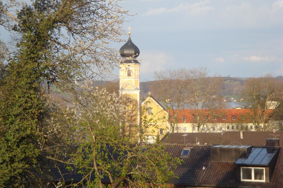
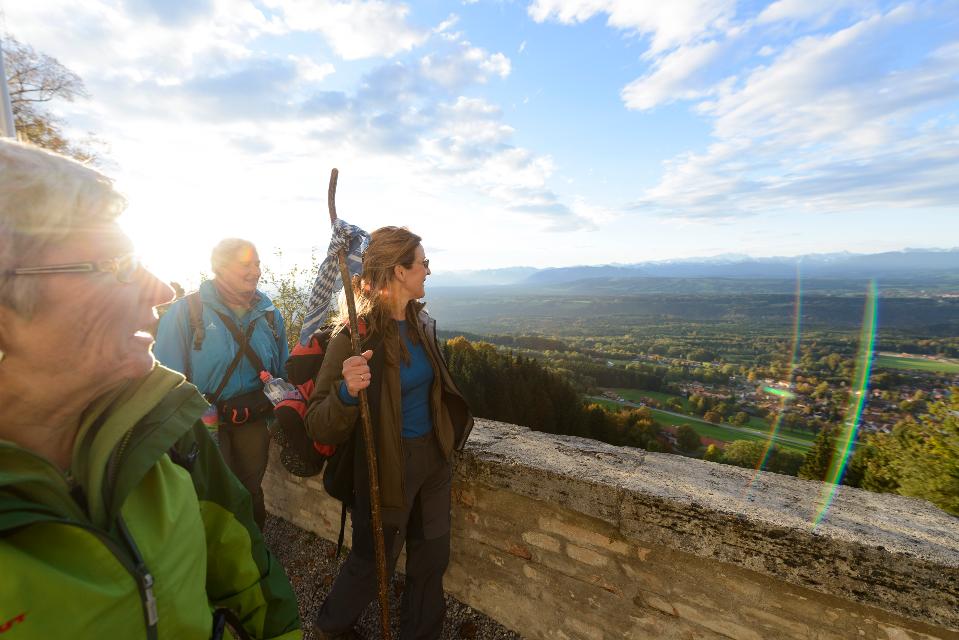
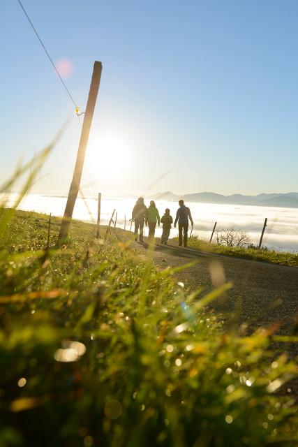
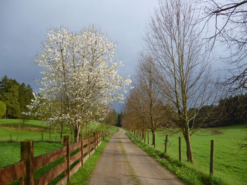
Ostschleife "Spiegelnde Wasser" - Heilige Landschaft Pfaffenwinkel
40:00 h 1388 hm 1388 hm 139,4 km sehr schwer


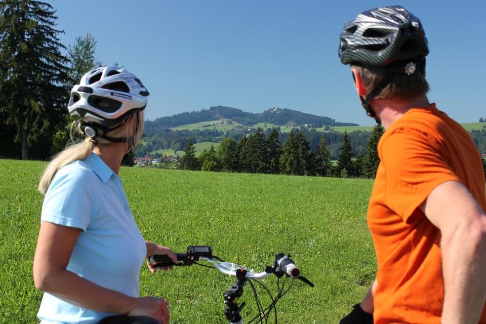
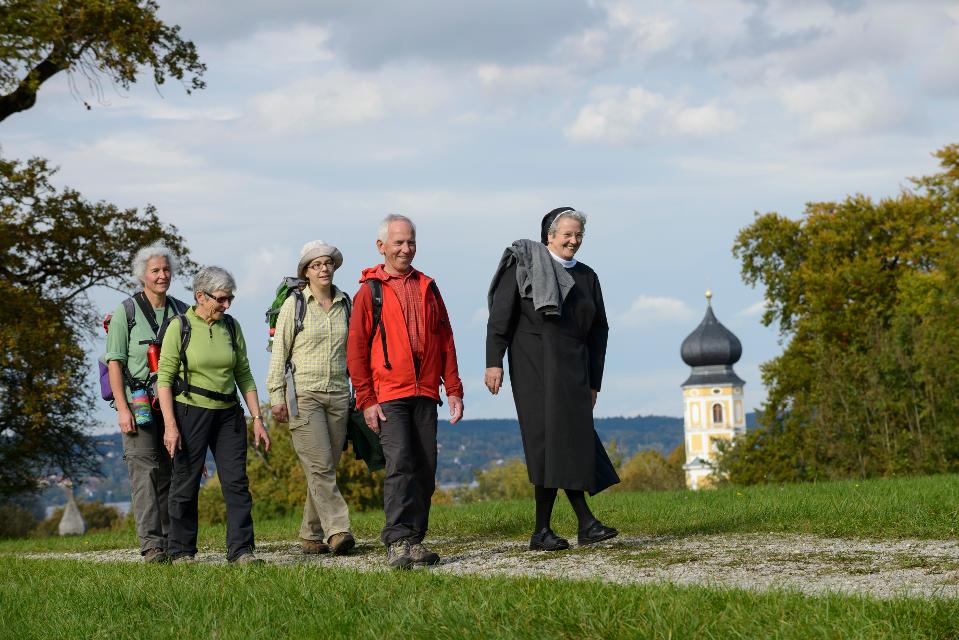
Drei Mehrtageswanderungen führen durch die schönsten Ecken des oberbayerischen Pfaffenwinkels, dessen Kultur über Jahrhunderte durch zahlreiche Klöster geprägt wurde. Die ruhigen Wanderwege verbinden Kirchen, Klöster und Kraftorte in der Natur.
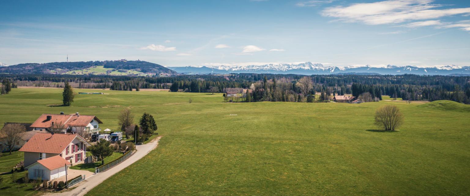
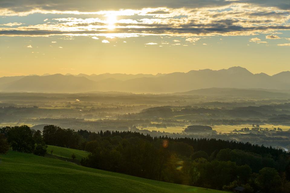
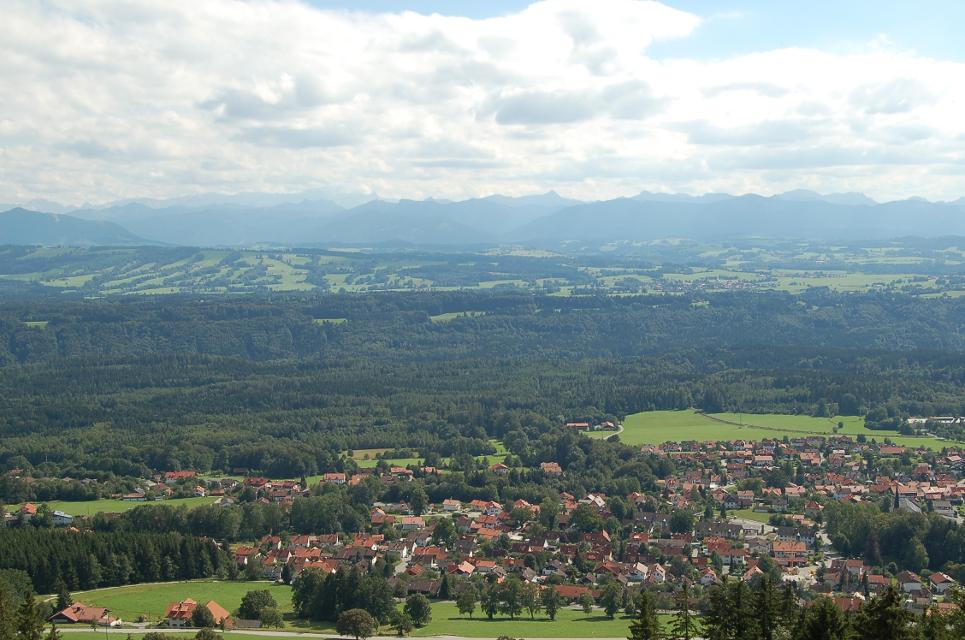
Die drei Pilgerwege starten und enden am Hohen Peißenberg, der einen Rundblick über die gesamte Region bietet und als bedeutender Wallfahrtsort dafür prädestiniert ist.
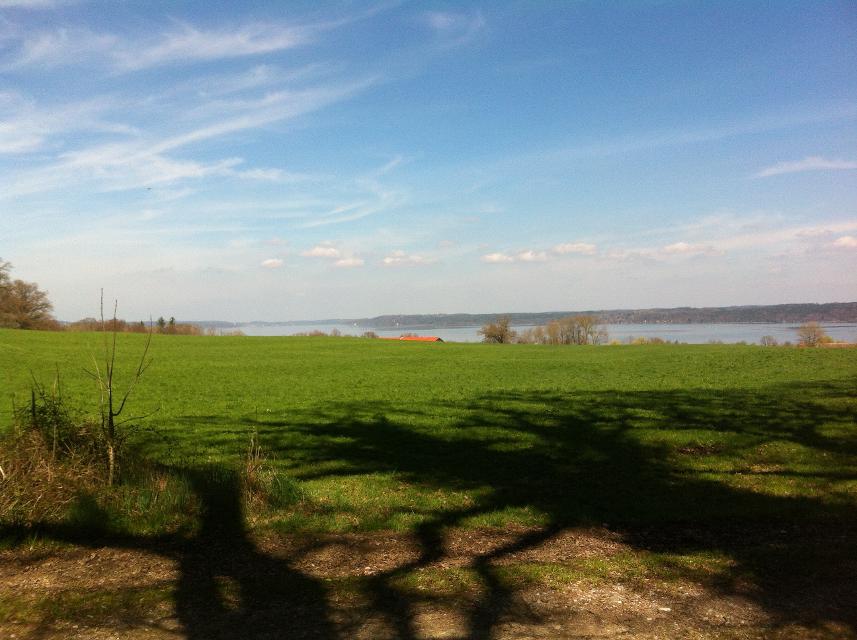
Auf der Ostschleife mit dem Thema „spiegelnde Wasser“ führen 8 Tagesetappen mit einer Gesamtlänge von 139 km zu den bedeutenden Klosterorten Polling, Bernried und Benediktbeuern. Landschaftlich geprägt ist die Route vom Starnberger See und den Osterseen sowie den unzähligen Seen und Weihern am Weg, in denen man sich und sein Leben spiegeln kann.
Ablauf:
-
2
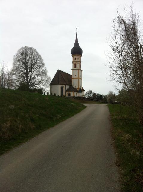
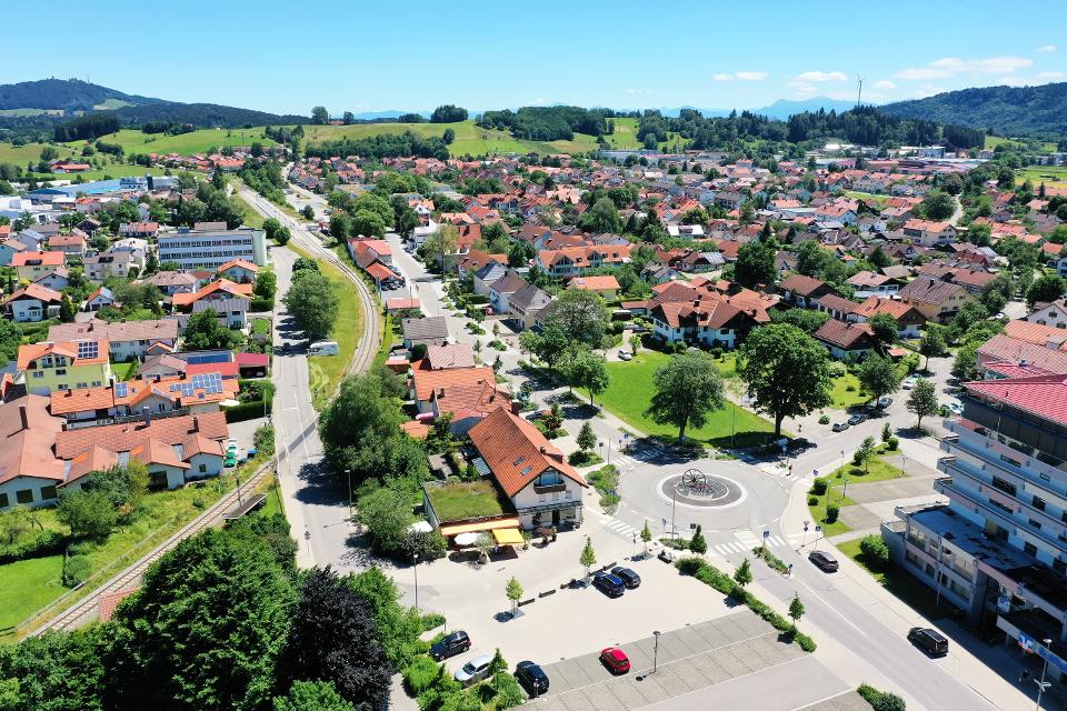
Etappe 2, Ostschleife, Heilige Landschaft Pfaffenwinkel - Von Weilheim nach Bernried
5:45 h 319 hm 289 hm 22,6 km mittel
Die zweite Etappe des Fernwanderwegs der Ostschleife Heilige Landschaft Pfaffenwinkel führt uns von Weilheim in Oberbayern nach Bernried. Weitläufige Moor- und Sumpfgebiete, idyllische Seen und malerische Wälder begleiten den Weg zum Starnberger See. Auf dieser Etappe führen uns die Vielzahl an Kapellen und Kirchen vor Augen, wie der Pfaffenwinkel zu seinem Namen kam.
-
3
Etappe 3, Ostschleife, Heilige Landschaft Pfaffenwinkel - Von Bernried nach Penzberg-Promberg
3:45 h 122 hm 98 hm 14,3 km mittel
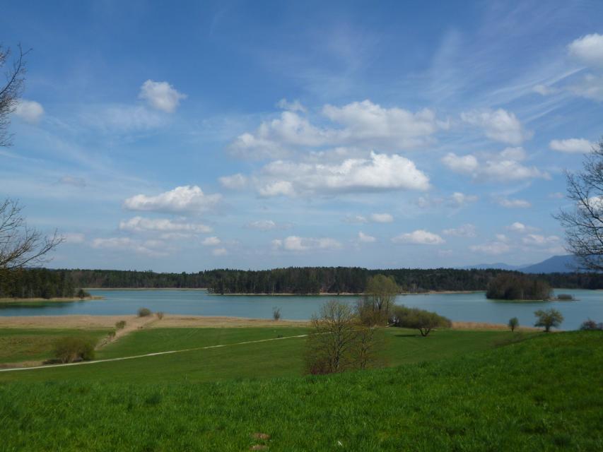
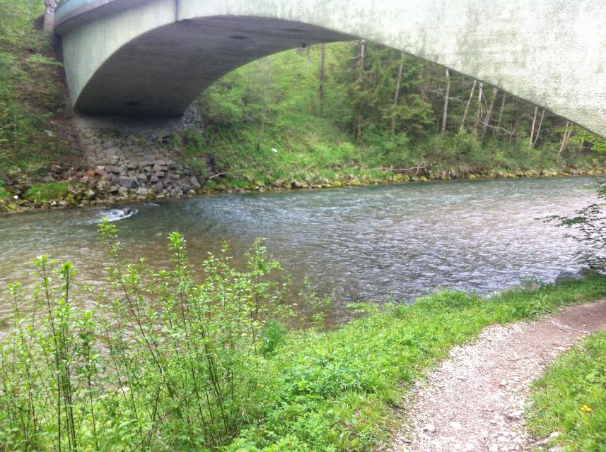
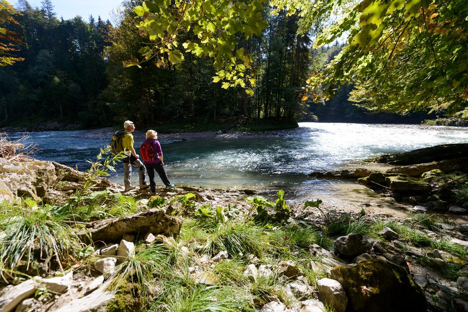
Die dritte Etappe der Ostschleife des Fernwanderwegs Heilige Landschaft Pfaffenwinkel führt uns von Bernried nach Promberg bei Penzberg. Das Highlight dieser Etappe ist der Weg entlang des Starnberger Sees. Wir genießen einen grandiosen Weitblick auf den See und das Alpenmassiv.
-
4
Etappe 4, Ostschleife, Heilige Landschaft Pfaffenwinkel - Von Penzberg-Promberg nach Benediktbeuern
3:45 h 56 hm 61 hm 13,7 km mittel
Die vierte Etappe der Ostschleife des Fernwanderwegs Heilige Landschaft Pfaffenwinkel führt uns von Promberg zur Klosteranlage in Benediktbeuern. Auf dem Weg kann man die Kirche in Nantesbuch und die Filialkirche St. Georg in Bichl bestaunen, ehe eine der beliebtesten Sehenswürdigkeiten des Pfaffenwinkels erreicht wird.
-
5
Etappe 5, Ostschleife, Heilige Landschaft Pfaffenwinkel - Von Benediktbeuern nach Iffeldorf
5:15 h 262 hm 277 hm 20,8 km sehr schwer
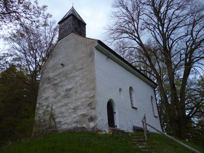
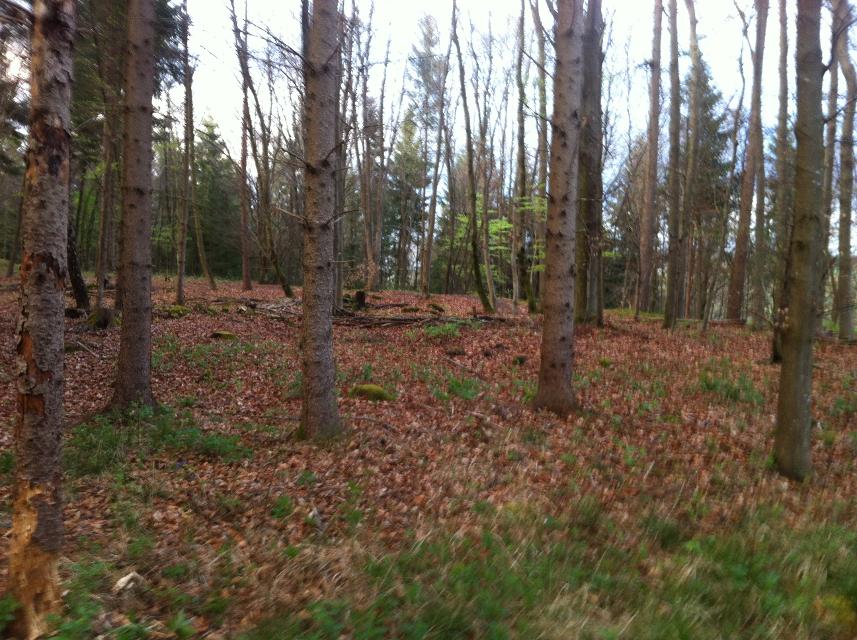
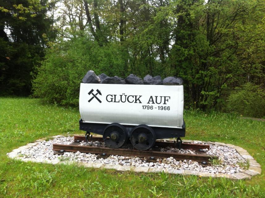
Die fünfte Etappe des Fernwanderwegs Heilige Landschaft Pfaffenwinkel Ostschleife führt uns von Benediktbeuern nach Iffeldorf. Auf dieser Etappe bestaunen wir das Kloster Benediktbeuern, die Heuwinklkapelle und die Kirche St. Vitus in Iffeldorf. In Penzberg wandern wir im Erholungsgebiet Berghalde auf den Spuren des Bergbaus und erfahren Wissenswertes zur Geschichte der Stadt Penzberg.
-
6
Etappe 6, Ostschleife, Heilige Landschaft Pfaffenwinkel - Von Iffeldorf nach Huglfing
5:45 h 148 hm 159 hm 25,6 km sehr schwer
Die sechste Etappe der Ostschleife des Fernwanderwegs Heilige Landschaft Pfaffenwinkel führt uns von Iffeldorf nach Huglfing, durch das wunderschöne Gebiet der Osterseen und durch dichte Wälder. Diese Tour verspricht viel Natur im Pfaffenwinkel.
-
7
Etappe 7, Ostschleife, Heilige Landschaft Pfaffenwinkel - Von Huglfing nach Peißenberg
4:00 h 389 hm 385 hm 15,3 km mittel
Die siebte Etappe der Ostschleife des Fernwanderwegs Heilige Landschaft Pfaffenwinkel führt uns von Huglfing nach Peißenberg zur Böbinger Ammerbrücke. Auf abwechslungsreichen Wegen wandern wir durch die malerische Hügellandschaft des Pfaffenwinkels, ehe ab Buchen der anspruchsvolle Abstieg zur Ammerbrücke beginnt.
-
Aufstieg: 1388 hm
-
Abstieg: 1388 hm
-
Länge der Tour: 139,4 km
-
Höchster Punkt: 976 m
-
Differenz: 417 hm
-
Niedrigster Punkt: 559 m
Schwierigkeit
sehr schwer
Kondition
schwer
Panoramablick
viel
Saisonale Eignung
-
JAN
-
FEB
-
MRZ
-
APR
-
MAI
-
JUN
-
JUL
-
AUG
-
SEP
-
OKT
-
NOV
-
DEZ
Merkmale Touren
Fernwanderweg
Aussichtsreich
Geologische Highlights
Rundweg
Einkehrmöglichkeit
Kulturell / historisch
Wanderparkplatz auf dem Hohen Peißenberg.
Mit öffentlichen Verkehrsmitteln: Mit der Bayerischen Regionalbahn von Weilheim nach Hohenpeißenberg.
Startpunkt: Hoher Peißenberg
Ziel: Hoher Peißenberg
Navigieren zu


Hier befindet sich auch
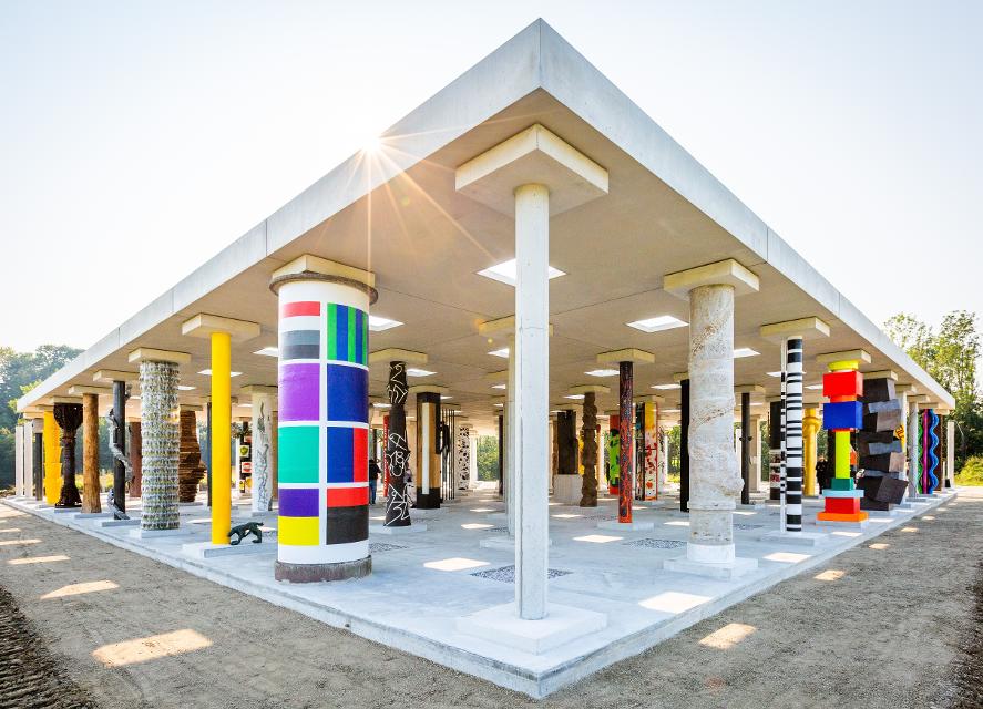
STOA169
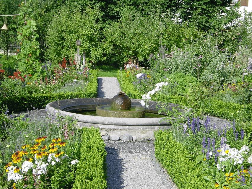
Mitten im Pfaffenwinkel präsentiert sich am Flussufer der Ammer auf einer landwirtschaftlich genutzten Wiese in der Nähe des Dorfes Polling eine offene Säulenhalle: die STOA169. Künstlerinnen und Künstler aller Kontinente werden ausgewählt, je eine Säule zu gestalten. Am Ende werden die Säulen, gleichsam als Archiv der zeitgenössischen Kunst, das gemeinsame Dach der STOA169 tragen.

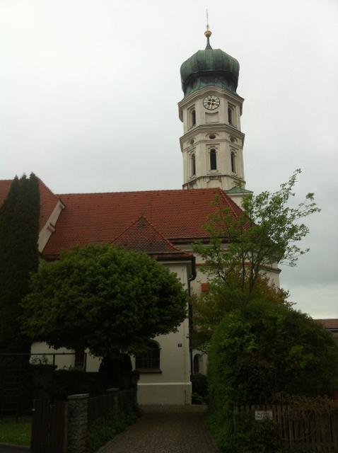
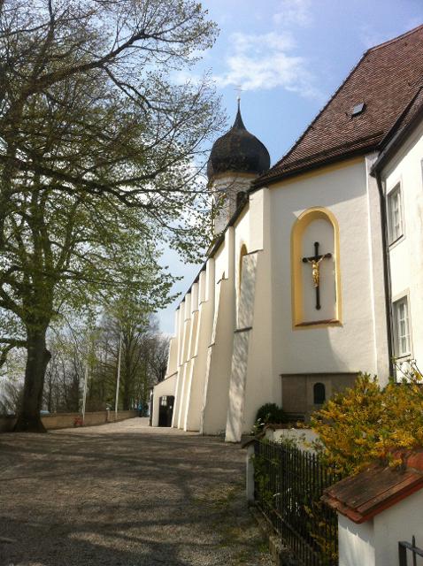
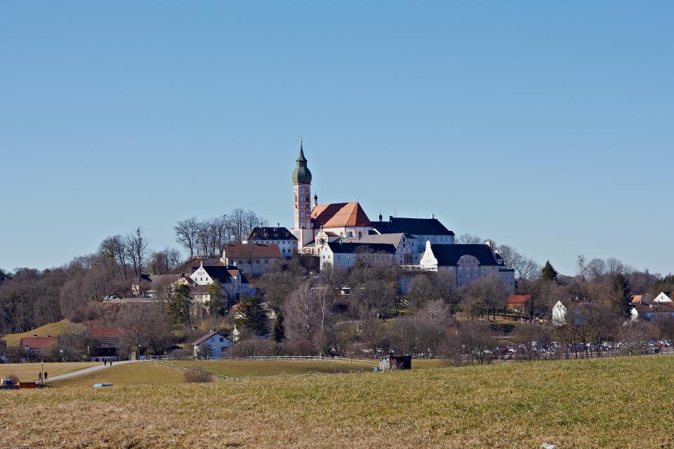
Kloster Polling
Pfarrbüro / Kirchplatz 3a, 82398 Polling
Kloster-Gründung 1010 durch Urkunde Heinrich II., Augustiner-Chorherrenstift bis 1803. Frühkloster aus der Zeit Tassilo III., um 750.
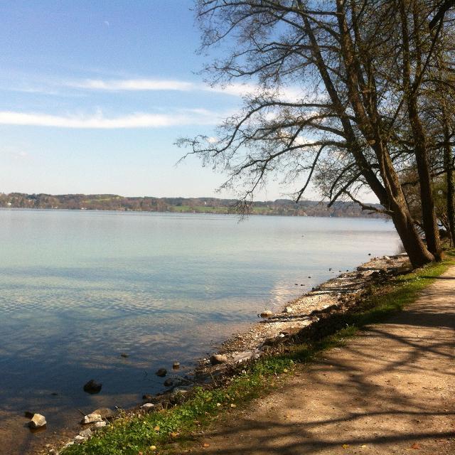
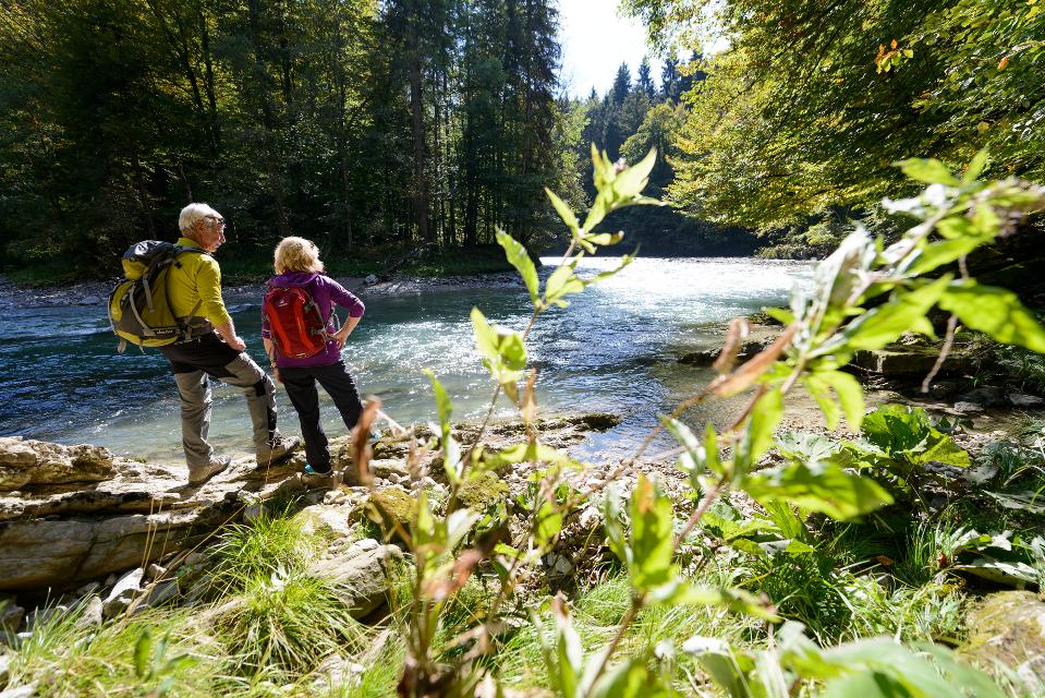
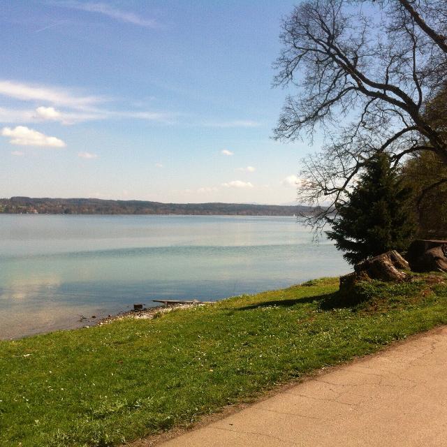
Starnberger See
82343 Starnberg
Der Starnberger See ist ein See in Bayern, 25 Kilometer südwestlich von München. Der See ist nach dem Bodensee, der Müritz, dem Chiemsee und dem Schweriner See der fünftgrößte See Deutschlands, aufgrund seiner großen Durchschnittstiefe jedoch der zweit-wasserreichste.
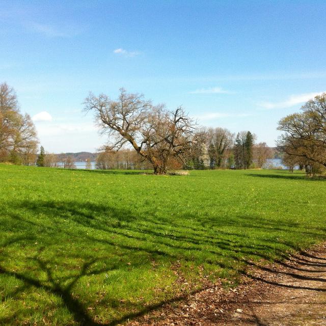

Blick über Großen Ostersee
Die Osterseen sind eine Gruppe von Gewässern südlich des Starnberger Sees im Landkreis Weilheim-Schongau in Oberbayern. Die südlichen und mittleren Osterseen mit dem Großen Ostersee gehören zur Gemeinde Iffeldorf , die nördlichen Osterseen ab dem Stechsee sowie der Frechensee zur Gemeinde Seeshaupt. Iffeldorf liegt rund fünf Straßenkilometer nordwestlich von Penzberg , 20 km südöstlich der Kreisstadt Weilheim und 50 km südsüdwestlich des Stadtzentrums von München.
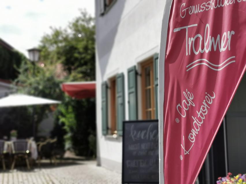
Essen in der Nähe
"Essen in der Nähe" überspringen
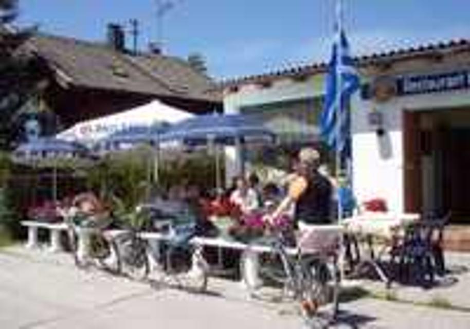
ca. 0,1 km entfernt
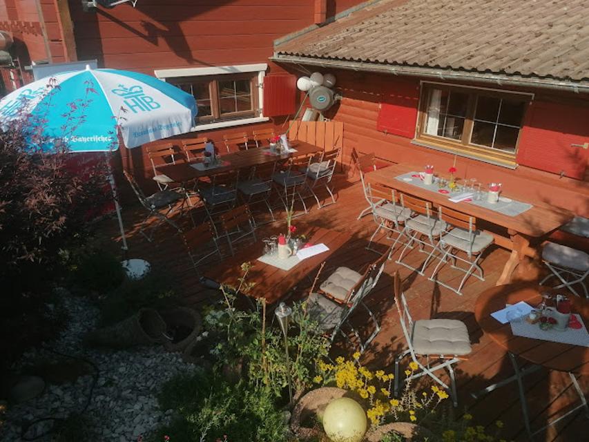
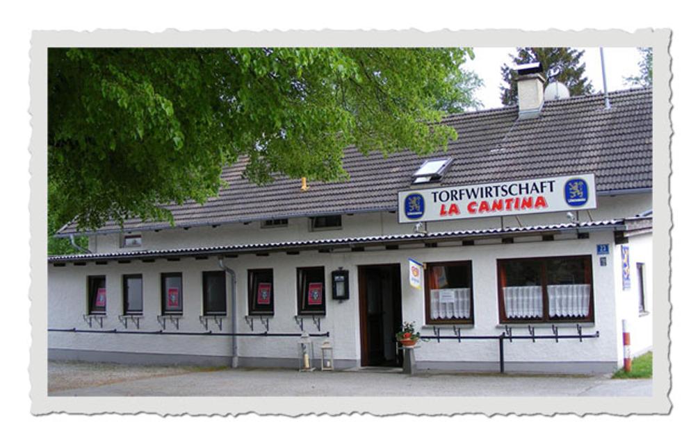
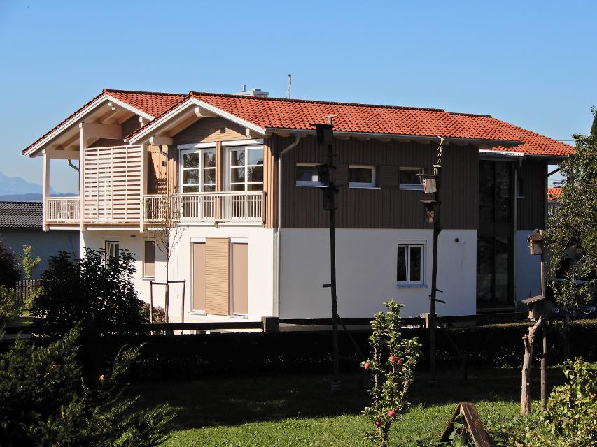
Gaststätte Bayerischer Rigi
M. Günther-Pl. 2, 82383 Hohenpeißenberg
Schweinshaxe, Jägerbraten und Staffelseezander im zünftigen Wirtshaus mit Panoramaterrasse auf 1000 m Höhe.
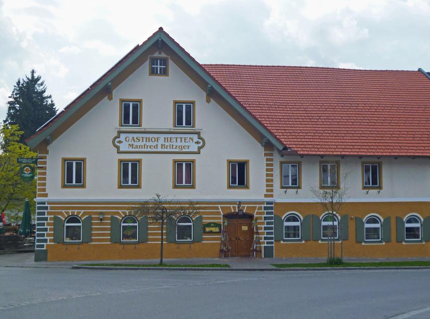
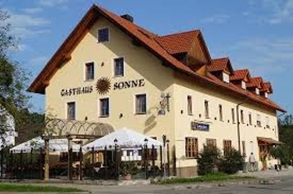
ca. 3,9 km entfernt
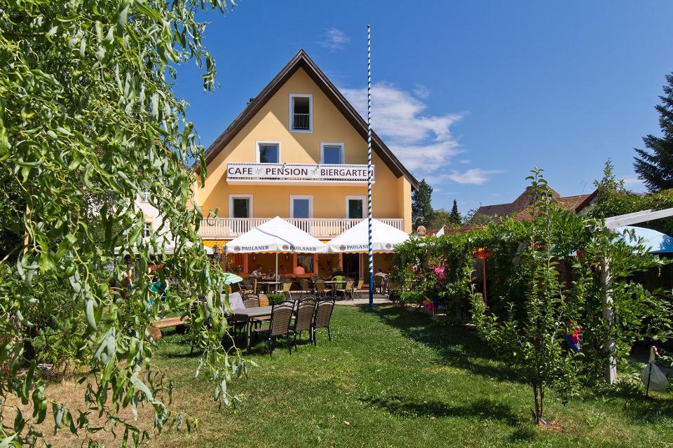
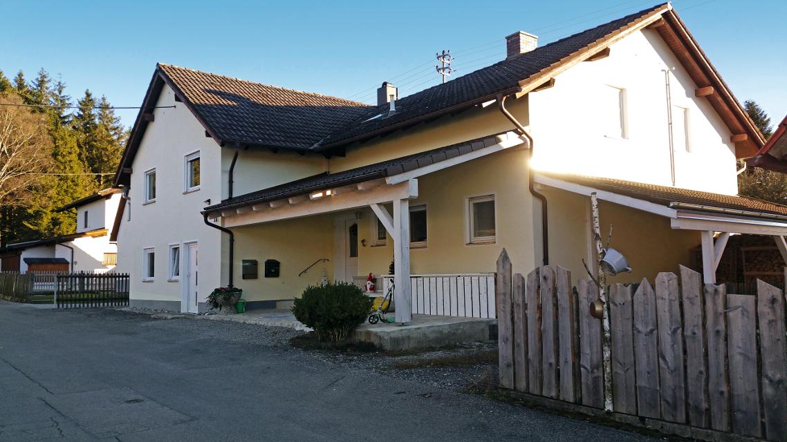
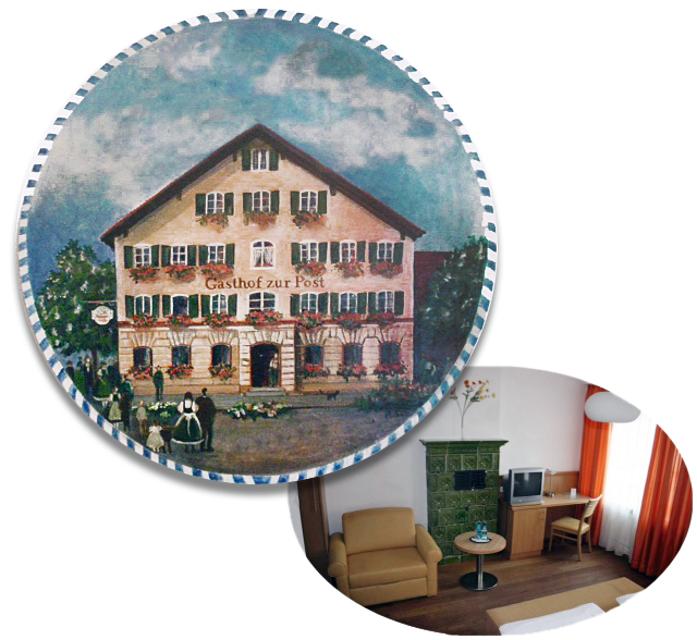
Gasthof Sonne
Hauptstraße 92, 82380 Peißenberg
Gemütliches Hotel und Gasthaus Sonne in Peißenberg südlich vom Ammersee. Moderne Zimmer, Restaurant, Natur
ca. 5,9 km entfernt
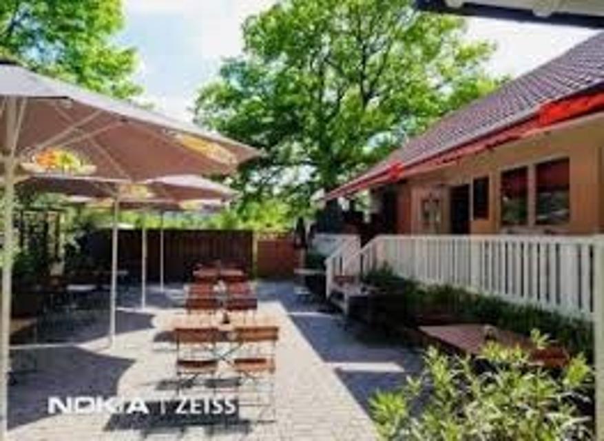
ca. 6,1 km entfernt
Herzog Cafe und Wirtshaus in Herzogsägmühle
Dorfplatz 8, 86971 Peiting-Herzogsägmühle
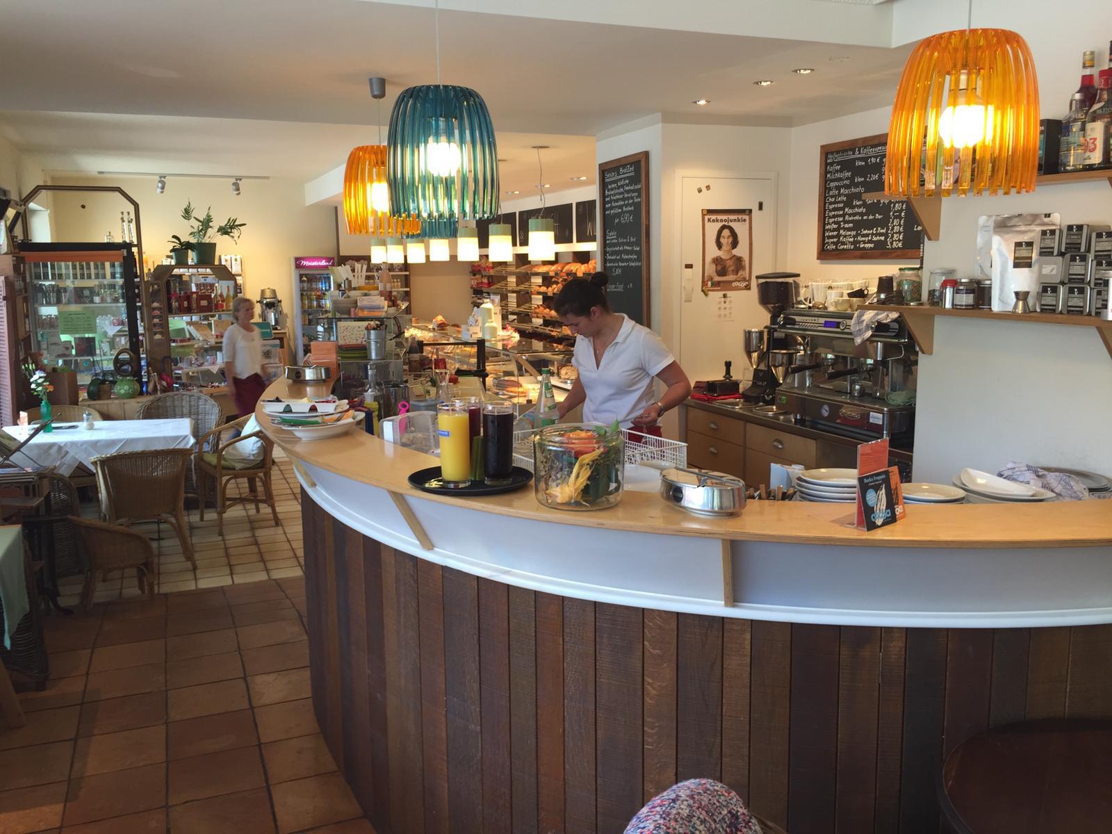
Das Café Herzog ist das öffentliche Café und Wirtshaus in Herzogsägmühle, mit Spielplatz, Minigolf und zwei Kegelbahnen. Unsere Speisekarte ist klein, aber fein. Wo immer möglich, verarbeiten wir regionale und nachhaltig erzeugte Produkte – selbstverständlich auch aus Herzogsägmühler Betrieben wie der Metzgerei, der Bäckerei sowie der Gärtnerei.Ebenso stellen wir viele Produkte hausgemacht her – wir haben Freude daran und hoffen, Sie mit unseren Speisen ein wenig verwöhnen zu können.Wir bieten Frühstück, Mittagessen und am Nachmittag können Sie sich auf erfrischende Eisbecher sowie hausgemachten Kuchen freuen. Unser barrierefreies Restaurant wurde mehrfach für seinen kinder- und familienfreundlichen Service ausgezeichnet.
ca. 6,2 km entfernt
Bäckerei & Café Sesar
Bahnhofstraße 21, 86971 Peiting
Handwerklich-traditionelle Backkunst aus Peiting.

Unterkünfte in der Nähe
"Unterkünfte in der Nähe" überspringen
ca. 3,5 km entfernt
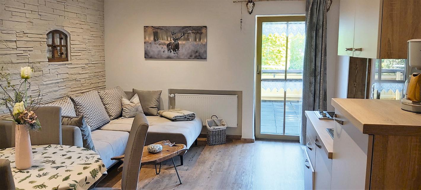
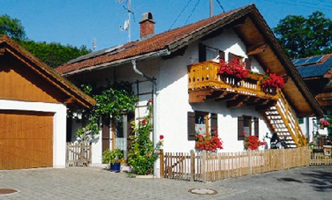
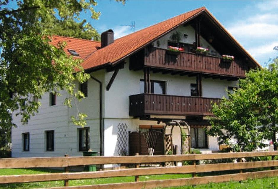
Wohnmobilstellplatz Alte Bergehalde Peißenberg
Zur Alten Bergehalde 8, 82380 Peißenberg
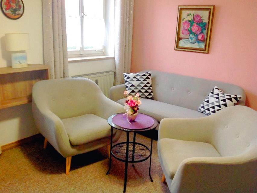
Der neu eingerichtete Wohnmobilstellplatz "Alte Bergehalde" bietet nahezu Full-Service für wenig Geld.
ca. 4,8 km entfernt
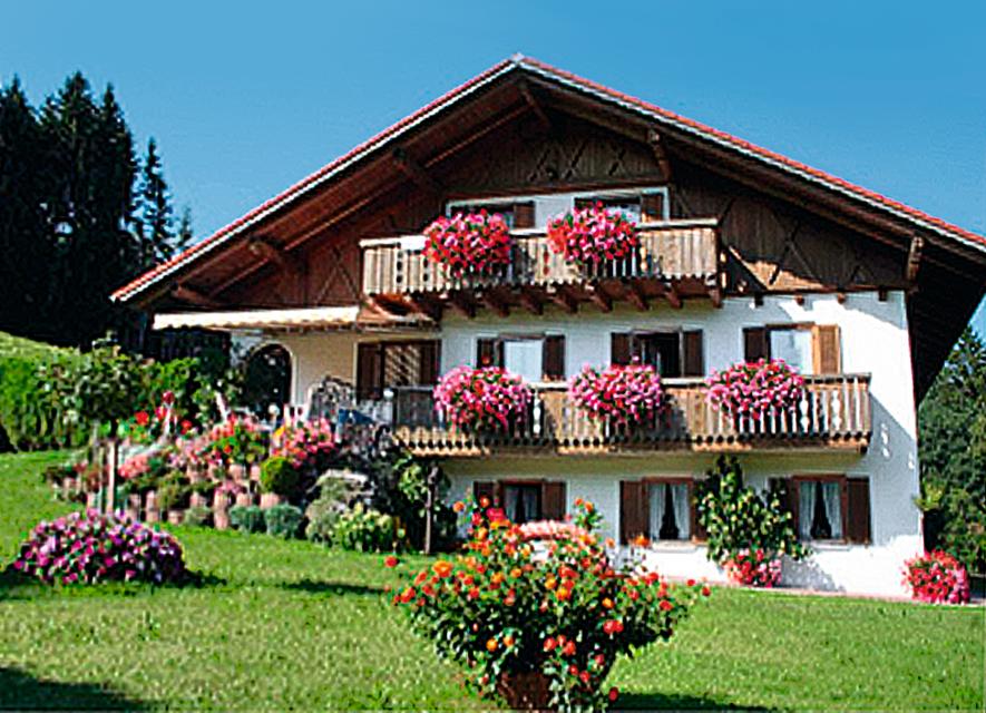
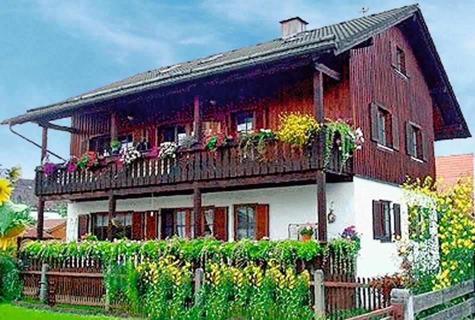
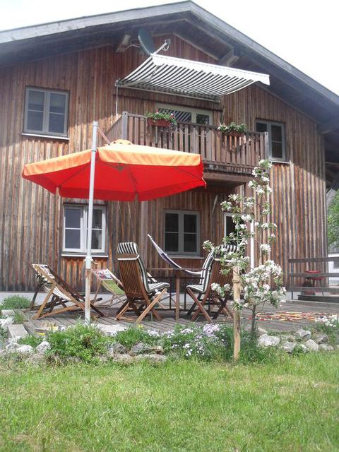
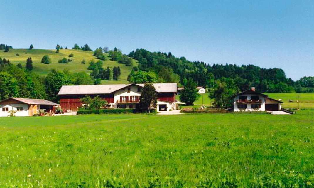
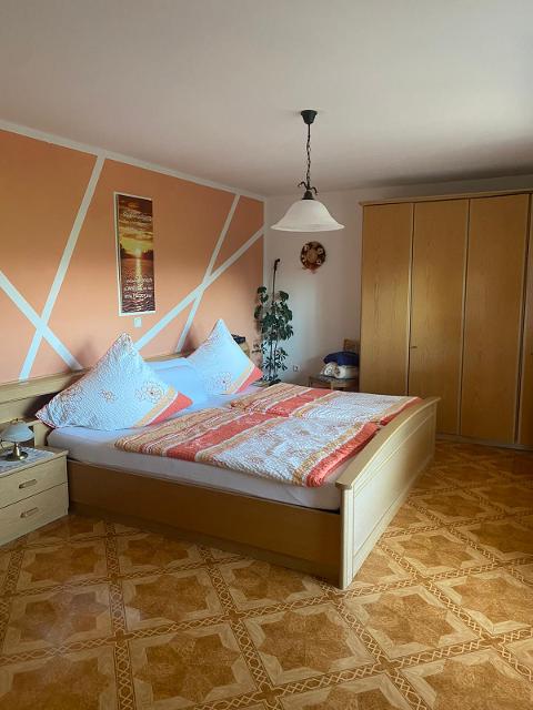
Granerhof Ferien GbR
Grambacherweg 11, 82389 Böbing
Wir Rudolfs lieben das Landleben auf unserem Hof am Ortsteil Granerhof in Böbing. Sie suchen nach einem liebenswerten Bauernhof mit viel Ruhe? Dann schauen Sie doch bei uns vorbei! Erwachsene wie Kinder fühlen sich bei uns auf dem Hof wohl und es ist für jeden etwas auf unserem Bauernhof dabei.
ȚȚȚȚ
Weitere Tipps in der Nähe
"Weitere Tipps in der Nähe" überspringen
ca. 0,0 km entfernt
Etappe 1, Nordschleife, Heilige Landschaft Pfaffenwinkel - Vom Hohen Peißenberg nach Paterzell
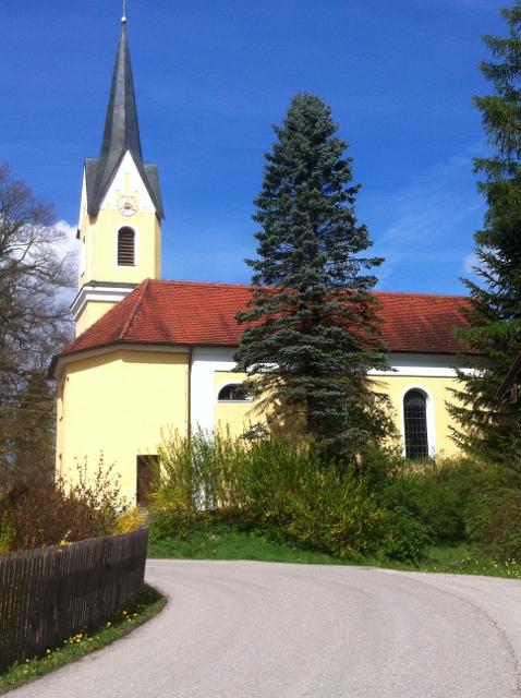
Die erste Etappe der Nordschleife des Fernwanderwegs Heilige Landschaft Pfaffenwinkel führt uns vom Hohen Peisenberg nach Paterzell, durch dichte Wälder, verwunschene Moorlandschaften und vorbei an zahlreichen Kirchen, Kapellen und Bildstöcken. Schon hier wird uns bewusst, wie der Pfaffenwinkel zu seinem Namen kam. Wir bestaunen die barocke Kirche bei St. Leonhard im Forst, die majestätische "Alte Linde" bei Linden und wandern durch einen malerischen Wald mit der Ulrichsquelle bis Paterzell, das das Ziel unseres Weges markiert.
3:30 h 153 hm 487 hm 12,1 km mittel
ca. 0,0 km entfernt
Nordschleife "Sprudelnde Quellen" - Heilige Landschaft Pfaffenwinkel
Drei Mehrtageswanderungen führen durch die schönsten Ecken des oberbayerischen Pfaffenwinkels, dessen Kultur über Jahrhunderte durch zahlreiche Klöster geprägt wurde. Die ruhigen Wanderwege verbinden Kirchen, Klöster und Kraftorte in der Natur. Die drei Pilgerwege starten und enden am Hohen Peißenberg, der einen Rundblick über die gesamte Region bietet und als bedeutender Wallfahrtsort dafür prädestiniert ist. Die Nordschleife mit einer Länge von 96km und 7 Tagesetappen verbindet den Hohen Peißenberg mit den Klöstern Wessobrunn, Andechs und Polling, durchquert dabei den Paterzeller Eibenwald ebenso wie die einzigartige Hardtlandschaft nördlich von Weilheim. „Sprudelnde Quellen“ – das Thema der Tour – sind nicht nur in Wessobrunn zu finden, das der Legende nach von Herzog Tassilo III an dem Ort gestiftet wurde, an der er eine Quelle in Kreuzesform fand, nachdem er im Traum eine Quelle gesehen hatte, deren Wasser in vier Richtungen floss.
25:10 h 1588 hm 1588 hm 94,5 km
ca. 0,0 km entfernt
Etappe 1, Westschleife, Heilige Landschaft Pfaffenwinkel - Vom Hohen Peißenberg nach Rottenbuch
Auf teils anspruchsvollen Wegen wandern wir vom Hohen Peißenberg nach Rottenbuch. Insbesondere der Abschnitt durch die wildromantische Ammerschlucht erfordert sicheres Gehen auf den schmalen, mitunter steilen Pfaden. Am Ziel erwartet uns mit der ehemaligen Stiftskirche des Klosters Rottenbuch auch noch ein kulturhistorischer Höhepunkt.
4:30 h 424 hm 637 hm 13,9 km mittel
ca. 0,0 km entfernt
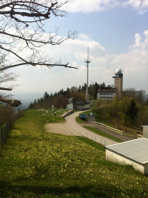
Bergwetter-Weg
In exponierter Lage führt die Spazierrunde auf gut beschilderten Wegen zu den spannenden Sehenswürdigkeiten des Hohen Peißenbergs. Auf der Runde erwartet uns die älteste Bergwetterstation der Erde, eine Entdeckungsreise durch die Welt des Klimas und die Wallfahrtskirche Maria Himmelfahrt. Beschildert: Nr. 82, blau
1:30 h 196 hm 196 hm 4,8 km sehr leicht
ca. 0,0 km entfernt
Winterwanderung - Bergwetter-Weg
In exponierter Lage führt die Spazierrunde auf gut beschilderten Wegen zu den spannenden Sehenswürdigkeiten des Hohen Peißenbergs. Auf der Runde erwartet uns die älteste Bergwetterstation der Erde, eine Entdeckungsreise durch die Welt des Klimas und die Wallfahrtskirche Maria Himmelfahrt. Beschildert: Nr. 82, blau
1:45 h 187 hm 187 hm 4,8 km sehr leicht
ca. 0,1 km entfernt
Oratorium auf dem Hohen Peißenberg
Matthäus-Günther-Platz 6, 82383 Hohenpeißenberg
Im Oratorium auf dem Hohen Peißenberg finden wechselnde Ausstellungen statt. Diese sind an bestimmten Tagen zu besichtigen.

ca. 0,2 km entfernt
Etappe 1, Ostschleife, Heilige Landschaft Pfaffenwinkel - Vom Hohen Peißenberg nach Weilheim
Die erste Etappe der Ostschleife des Fernwanderwegs Heilige Landschaft Pfaffenwinkel führt uns vom Hohen Peißenberg nach Weilheim in Oberbayern. Wir durchqueren die sanfte Hügellandschaft des Voralpenlandes und genießen herrliche Ausblicke auf das Alpenmassiv. Auf dem Weg kommen wir an mehreren Kapellen vorbei, wandern an der Ammer entlang und können wir die Kirchen Peißenbergs und Pollings bestaunen.
5:10 h 66 hm 466 hm 18,8 km mittel
ca. 0,4 km entfernt
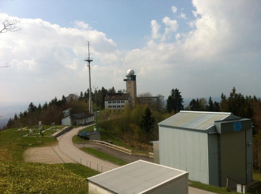
Meteorologisches Observatorium Hohenpeißenberg
Albin-Schwaiger-Weg 10, 82383 Hohenpeißenberg
ca. 0,8 km entfernt
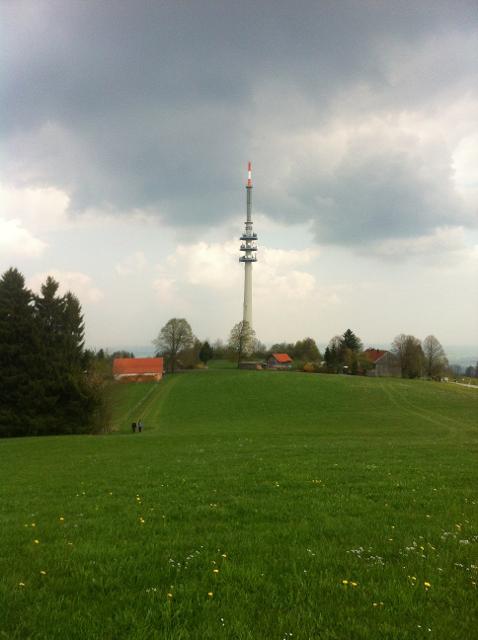
Fernsehturm
82383 Hohenpeißenberg
Der Sender Hohenpeißenberg ist eine Rundfunksendeanlage auf dem Hohen Peißenberg. Der Sender gehört nicht – wie oft angenommen – dem Bayerischen Rundfunk, sondern der Deutschen Funkturm GmbH. Für den Bayerischen Rundfunk fungiert der Sender jedoch als Grundnetzsender für DVB-T und UKW.
Das könnte Dir auch gefallen
"Das könnte Dir auch gefallen" überspringen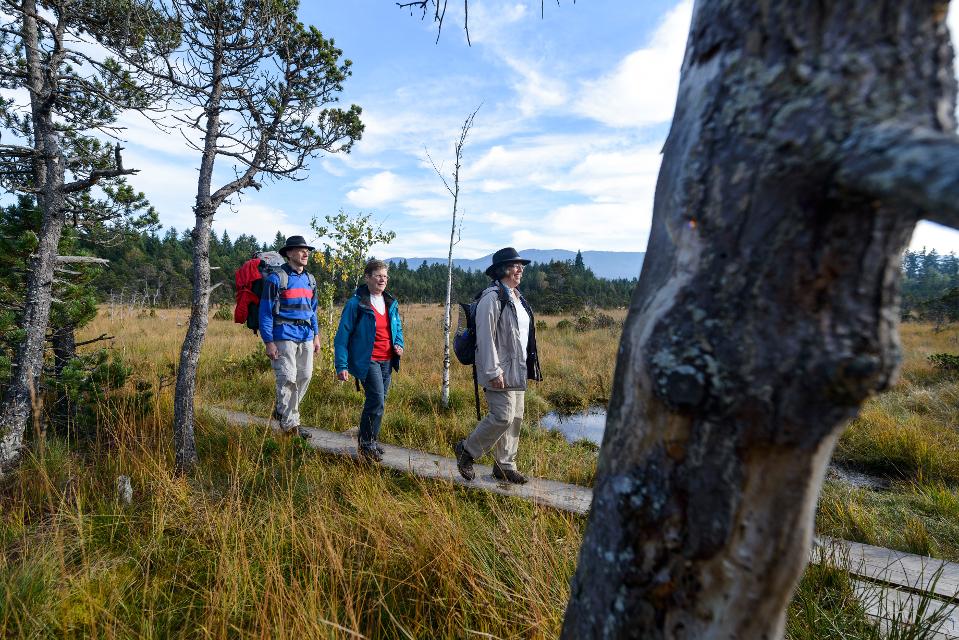
Westschleife "Wilde Flüsse" - Heilige Landschaft Pfaffenwinkel
Drei Mehrtageswanderungen führen durch die schönsten Ecken des oberbayerischen Pfaffenwinkels, dessen Kultur über Jahrhunderte durch zahlreiche Klöster geprägt wurde. Die ruhigen Wanderwege verbinden Kirchen, Klöster und Kraftorte in der Natur. Die drei Pilgerwege starten und enden am Hohen Peißenberg, der einen Rundblick über die gesamte Region bietet und als bedeutender Wallfahrtsort dafür prädestiniert ist. „Wilde Flüsse“ - Ammer und Lech prägen die Landschaft der Westschleife. Die etwas kürzeren, aber hügeligeren und anspruchsvolleren 6 Tagesetappen mit 76 km verbinden Highlights wie die wild-romantische Ammerschlucht, den Brettleweg durch das Wiesfilz oder die Besteigung des Auerbergs mit den Klosterorten Rottenbuch, Steingaden und Schongau und den bedeutendsten Kirchen der Region u.a. dem UNESCO Welterbe Wieskirche.
21:01 h 1306 hm 1337 hm 76,0 km
König-Ludwig-Weg, 4. Etappe: Hohenpeißenberg - Rottenbuch
Diese Tagesetappe sorgt für ungeante Natureindrücke. Bitte die Sicherheitshinweise beachten!
3:45 h 191 hm 201 hm 12,8 km sehr schwer
Pfaffenwinkel Radrundfahrt, 160 km
Wir verlassen Peiting in Richtung Schongau. Vorbei an Altenstadt, Sachsenried, Rettenbach, Bernbeuren und dem Auerberg erreicht man Lechbruck. Weiter geht es über Prem, die Wieskirche nach Rottenbuch. Im weiteren Verlauf führt die Route über Schöffau und den Staffelsee wieder Richtung Norden nach Weilheim. Weiter in östliche Richtung erreicht man den Zellsee, Forst und Herzogsägmühle wieder den Ausgangspunkt Peiting.
10:25 h 1235 hm 1241 hm 145,3 km sehr schwer
Etappe 5, Nordschleife, Heilige Landschaft Pfaffenwinkel - Von Pähl nach Weilheim
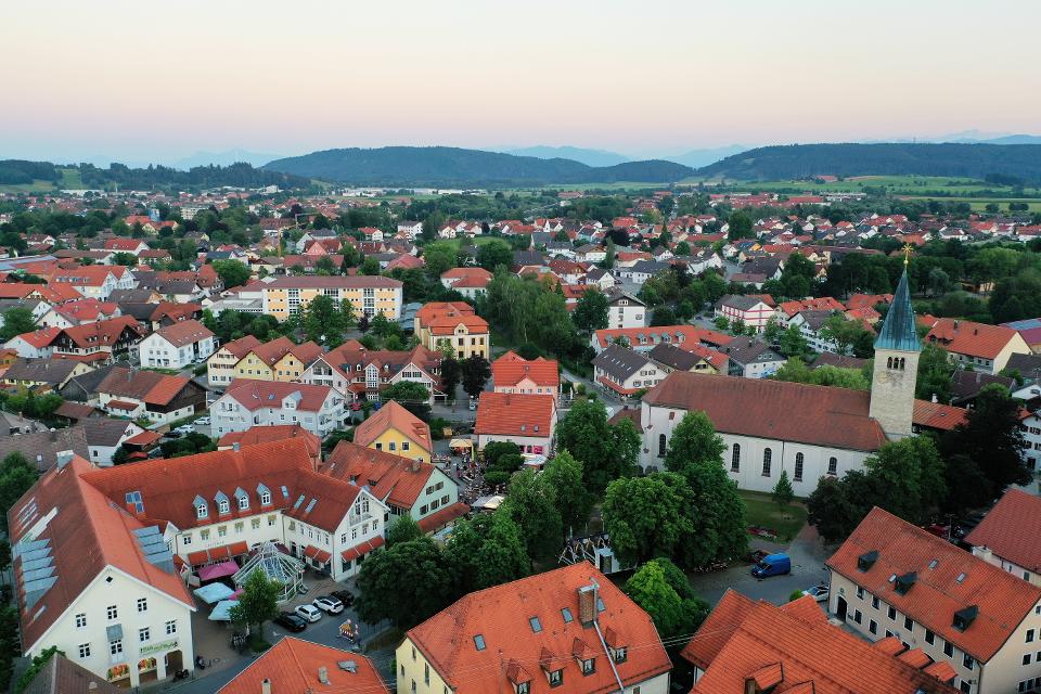
Puste ist gefragt - die 21 km der fünften Etappe von Pähl über Wilzhofen und Marnbach nach Weilheim fordern unsere Ausdauer. Dafür werden wir mit vielen schönen Ausblicken über die herrliche Hardtlanschaft und teilweise bis zu den Alpen, Sehenswürdigkeiten sowie grünen Wäldern und Wiesen belohnt. Architektonische Highlights erwarten uns in Weilheim, darunter die Pfarrkirchen Mariä Himmelfahrt und St. Pölten und der Marienplatz sowie die gut erhaltene Stadtmauer. Auch das sogenannte "Museum des Pfaffenwinkels" ist ein Besuch wert. Dort werden Exponate der Region präsentiert und die Geschichte des Pfaffenwinkels näher beleuchtet.
7:00 h 305 hm 322 hm 21,3 km mittel
Etappe 5, Ostschleife, Heilige Landschaft Pfaffenwinkel - Von Benediktbeuern nach Iffeldorf
Die fünfte Etappe des Fernwanderwegs Heilige Landschaft Pfaffenwinkel Ostschleife führt uns von Benediktbeuern nach Iffeldorf. Auf dieser Etappe bestaunen wir das Kloster Benediktbeuern, die Heuwinklkapelle und die Kirche St. Vitus in Iffeldorf. In Penzberg wandern wir im Erholungsgebiet Berghalde auf den Spuren des Bergbaus und erfahren Wissenswertes zur Geschichte der Stadt Penzberg.
5:15 h 262 hm 277 hm 20,8 km sehr schwer
Etappe 6, Nordschleife, Heilige Landschaft Pfaffenwinkel - Von Weilheim nach Peißenberg
Die sechste Etappe des Fernwanderwegs Heilige Landschaft Pfaffenwinkel Nordschleife führt uns von Weilheim nach Peißenberg. Falls wir nach der langen fünften Etappe keine Zeit mehr hatten, Weilheim zu besichtigen, so lässt uns die nicht ganz so lange, sechste Etappe dafür genug Zeit im Vorfeld noch durch die Fußgängerzone und über den Marienplatz zu flanieren, die Stadtpfarrkirche Mariae Himmelfahrt zu besuchen und die Kirche St. Pölten - die älteste Weilheimer Kirche, deren Ursprünge bis ins 8. Jh. zurück gehen zu bestaunen. Danach machen wir uns auf den Weg nach Peißenberg. Unterwegs treffen wir erneut auf die Ammer und können in Polling das sehenswerte Klosterdorf (Kloster Heilig Kreuz) und die Stiftskirche St. Salvator der Augustiner Chorherren besuchen.
3:45 h 157 hm 141 hm 12,4 km mittel
Etappe 7, Nordschleife, Heilige Landschaft Pfaffenwinkel - Von Peißenberg auf den Hohen Peißenberg
Die letzte Etappe des Fernwanderwegs Heilige Landschaft Pfaffenwinkel führt uns über eine kurze, aber dennoch anstrengende Strecke zurück zu unserem Ausgangspunkt auf dem Hohen Peißenberg. Frische Beine sind beim Aufstieg zum Hohen Peißenberg sicher nicht schlecht, allerdings nicht unbedingt ein Muß, denn die knapp 6 km und 400 hm kann man auch ganz gemütlich angehen. Je höher wir kommen umso besser wird der Ausblick über den Pfaffenwinkel und wir können noch einmal die Region überblicken, die wir in den letzten Tagen zu Fuß erkunden konnten.
3:15 h 397 hm 3 hm 7,0 km mittel

Etappe 8, Ostschleife, Heilige Landschaft Pfaffenwinkel - Von Peißenberg zum Hohen Peißenberg
Die achte und letzte Etappe der Ostschleife des Fernwanderwegs Heilige Landschaft Pfaffenwinkel führt uns von Peißenberg auf den Hohen Peißenberg. Wir wandern auf abwechslungsreichen und wenig befahrenen Wegen auf den Aussichtsberg des Pfaffenwinkels, wo wir das Ziel des Fernwanderwegs erreichen.
4:00 h 409 hm 40 hm 8,9 km sehr schwer

Etappe 2, Ostschleife, Heilige Landschaft Pfaffenwinkel - Von Weilheim nach Bernried
Die zweite Etappe des Fernwanderwegs der Ostschleife Heilige Landschaft Pfaffenwinkel führt uns von Weilheim in Oberbayern nach Bernried. Weitläufige Moor- und Sumpfgebiete, idyllische Seen und malerische Wälder begleiten den Weg zum Starnberger See. Auf dieser Etappe führen uns die Vielzahl an Kapellen und Kirchen vor Augen, wie der Pfaffenwinkel zu seinem Namen kam.
5:45 h 319 hm 289 hm 22,6 km mittel
Etappe 4, Ostschleife, Heilige Landschaft Pfaffenwinkel - Von Penzberg-Promberg nach Benediktbeuern
Die vierte Etappe der Ostschleife des Fernwanderwegs Heilige Landschaft Pfaffenwinkel führt uns von Promberg zur Klosteranlage in Benediktbeuern. Auf dem Weg kann man die Kirche in Nantesbuch und die Filialkirche St. Georg in Bichl bestaunen, ehe eine der beliebtesten Sehenswürdigkeiten des Pfaffenwinkels erreicht wird.
3:45 h 56 hm 61 hm 13,7 km mittel
Höllfilzweg
Die Gemeinde Antdorf in Oberbayern besticht mit ihrer traumhaften Lage nahe der Osterseen und unweit von Penzberg. Wenig frequentierte Wanderwege und Wiesenpfade sorgen auf dem gemütlichen Spazierweg für Erholung in der pfaffenwinkler Landschaft. Grüne Sommerwiesen vor einem prächtigen Alpenpanorama, historische Kirchen und eine kleine Kapelle versprechen Wandervergnügen im Voralpenland. Beschildert: Nr. 7, blau
2:15 h 85 hm 85 hm 8,4 km mittel
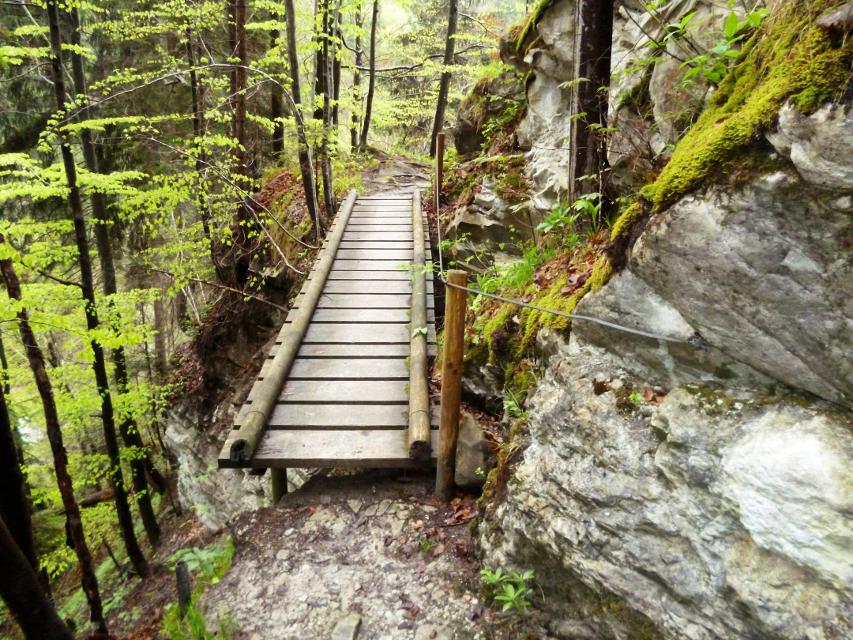
Kultur - Ammerschlucht
Die Tour führt über Stufen, Stege und Brücken durch die ungebändigte Ammerschlucht und durch wildromantische Mischwälder. Der Weg entlang der Schlucht und der Pfad an der Reitnerbachklamm fordern die Trittsicherheit der Wanderer. Die zum Teil herausfordernden Wege werden mit außergewöhnlichen Ausblicken belohnt. Beschildert: Nr. 88, rot
6:00 h 211 hm 211 hm 21,1 km mittel
Naturwunder-Tour
Über grüne Wiesen, flache Hügel und ruhige Wälder zum Naturschutzgebiet Litzauer Schleife. Hier ist Lech nahezu unberührt und bietet vielen Pflanzen und Tieren einen einzigartigen Lebensraum. Atemberaubende Aussichten inklusive. Beschildert: B2, grün
2:05 h 59 hm 59 hm 8,1 km sehr leicht
Knappensteig
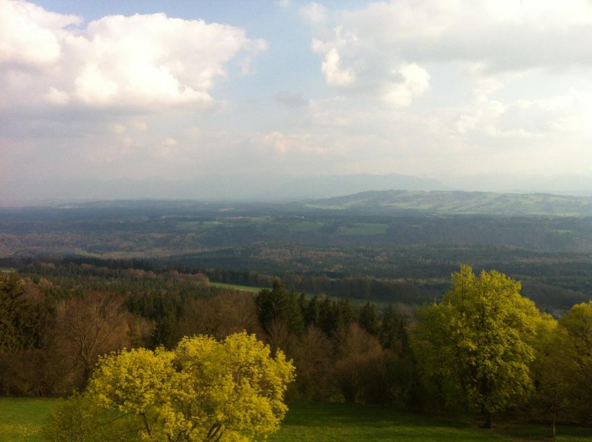
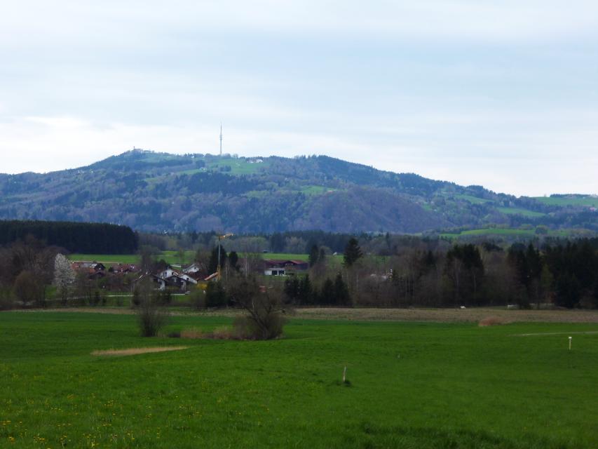
Der Knappensteig verbindet den ausgeschilderten Stollenweg mit einer Besteigung des Hohen Peißenbergs, dem Panoramaberg im Pfaffenwinkel schlechthin. Entlang des mit zahlreichen Informationstafeln ausgestatteten Lehrpfads erfahren Wanderer interessante Details zum Bergbau rund um Peißenberg. Bei klarer Sicht reicht der Blick vom Hohen Peißenberg von den Chiemgauer Alpen über das Ester- und Wettersteingebirge bis zu den Ammergauer und Allgäuer Alpen. Beschildert: Nr. Nr. 83, rot
5:15 h 681 hm 681 hm 17,6 km sehr schwer
Etappe 7, Ostschleife, Heilige Landschaft Pfaffenwinkel - Von Huglfing nach Peißenberg
Die siebte Etappe der Ostschleife des Fernwanderwegs Heilige Landschaft Pfaffenwinkel führt uns von Huglfing nach Peißenberg zur Böbinger Ammerbrücke. Auf abwechslungsreichen Wegen wandern wir durch die malerische Hügellandschaft des Pfaffenwinkels, ehe ab Buchen der anspruchsvolle Abstieg zur Ammerbrücke beginnt.
4:00 h 389 hm 385 hm 15,3 km mittel
Hardtrunde (lang)
Die ausgedehnte Runde führt über weite Strecken durch die einzigartige Hardtlandschaft mit Hoch- und Niedermooren, Magerrasen- und Streuwiesengebieten sowie weitläufigen Wäldern. Auf dem landschaftlich äußerst reizvollen Weg über kaum befahrene Sträßchen und ruhige Forstwege genießen Spaziergänger immer wieder traumhafte Ausblicke auf die Alpenkette. Beschildert: Nr. 44, rot
2:30 h 109 hm 109 hm 9,6 km mittel
Hardtrunde (mittel)
Die landschaftlich reizvolle Hardtrunde führt in ihrem östlichen Teil durch die wunderschöne, äußerst vielfältige Hardtlandschaft. Saftig grüne Wiesen wechseln sich immer wieder mit weitläufigen Wald- und Moorgebieten ab. Im Gegensatz dazu ist der westliche Teil der Runde geprägt durch die weiten, häufig landwirtschaftlich genutzten Felder und Wiesen rund um den Dietlhofer See, der sich im Sommer hervorragend zum Baden eignet. Beschildert: Nr. 43, blau
2:00 h 88 hm 88 hm 7,1 km sehr leicht
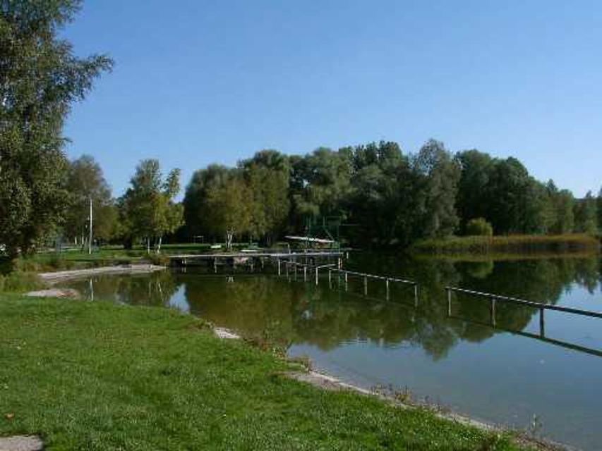
Rundweg um den Fohnsee
Inmitten des Naturschutzgebiets Osterseen bietet der Rundweg um den Fohnsee ein einzigartiges Naturerlebnis. Spaziergänger genießen immer wieder traumhafte Blicke über die weitläufige Seenlandschaft. Zahlreiche idyllische Plätze am Ufer des Fohnsees und des Großen Ostersees locken zum Verweilen. Beschildert: Nr. 23, grün
1:15 h 41 hm 41 hm 4,9 km sehr leicht
Stadt- und Lechgeschichten
Wissenswerte Geschichten ranken sich um die historische Altstadt Schongaus. Zuerst erleben wir jedoch romantische Wanderwege, ehe wir die Altstadt mit dem gotischen Ballenhaus, der barocken Stadtpfarrkirche Mariae Himmelfahrt und der begehbaren Stadtmauer entdecken.
3:45 h 276 hm 276 hm 13,9 km mittel
Stein-Erlebnisweg
Der Stein-Erlebnisweg steht ganz im Zeichen des Tuffstein- und Kiesabbaus rund um Huglfing. Vorbei an stillgelegten sowie noch heute genutzten Kiesgruben führt die ausgedehnte Runde durch die sanfte Hügellandschaft südlich und östlich der oberbayerischen Gemeinde. Beschildert: T62, rot
3:30 h 198 hm 198 hm 14,8 km mittel
Winterwanderung - Stadt- und Lechgeschichten
Wissenswerte Geschichten ranken sich um die historische Altstadt Schongaus. Zuerst erleben wir jedoch romantische Wanderwege, ehe wir die Altstadt mit dem gotischen Ballenhaus, der barocken Stadtpfarrkirche Mariae Himmelfahrt und der begehbaren Stadtmauer entdecken.
3:45 h 114 hm 114 hm 13,9 km mittel
Alpenblick-Tour
Der Name ist Programm: Auf der ersten Hälfte dieser abwechslungsreichen Fahrt hat man stets die Alpenkette im Blick
5:20 h 770 hm 767 hm 96,5 km sehr schwer
Bayerische Wallfahrt
Wallfahren mit dem Rennrad? Warum nicht, auch wenn in diesem Fall die Wieskirche nicht das Endziel der Fahrt ist.
6:30 h 908 hm 907 hm 113,3 km mittel
Bergwetter-Weg
In exponierter Lage führt die Spazierrunde auf gut beschilderten Wegen zu den spannenden Sehenswürdigkeiten des Hohen Peißenbergs. Auf der Runde erwartet uns die älteste Bergwetterstation der Erde, eine Entdeckungsreise durch die Welt des Klimas und die Wallfahrtskirche Maria Himmelfahrt. Beschildert: Nr. 82, blau
1:30 h 196 hm 196 hm 4,8 km sehr leicht