


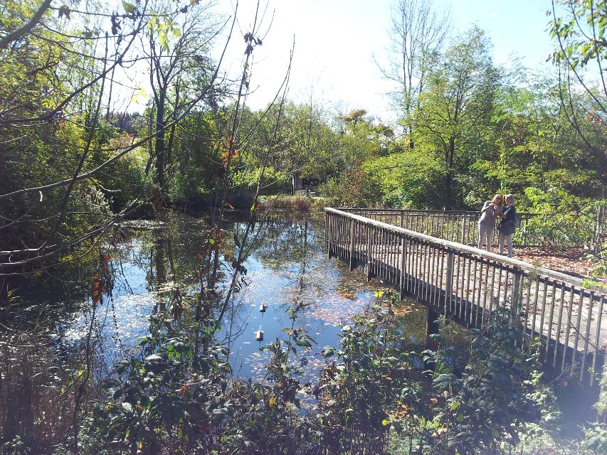
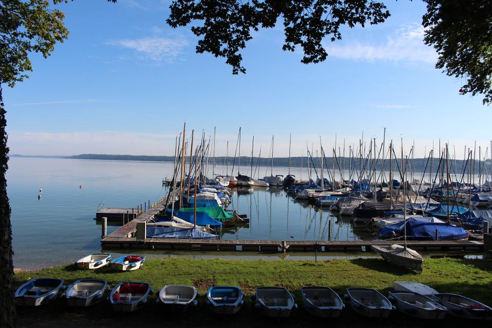
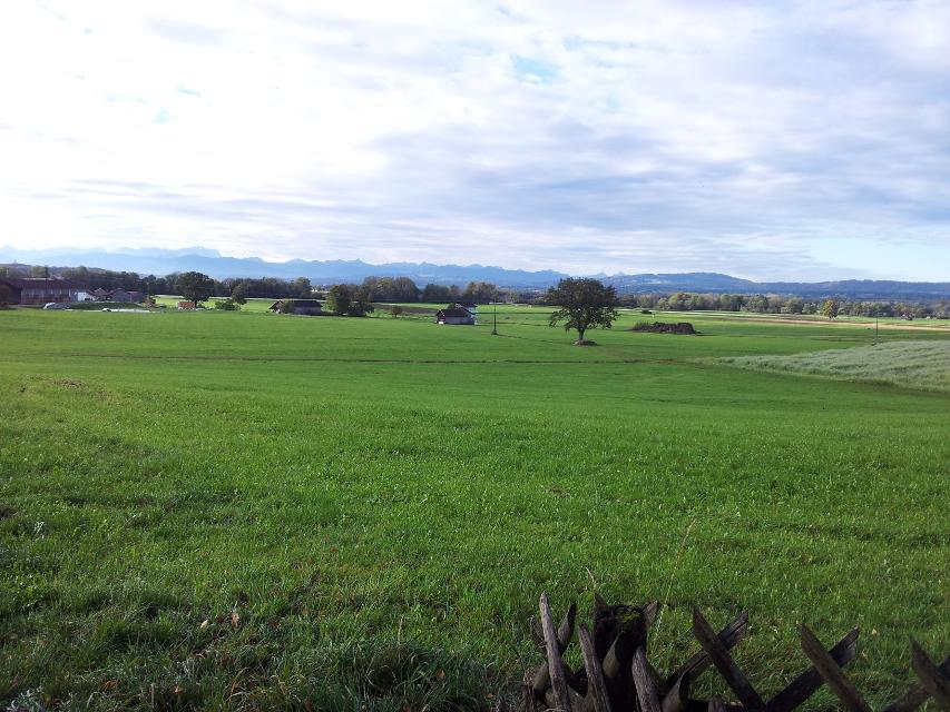
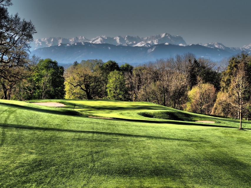
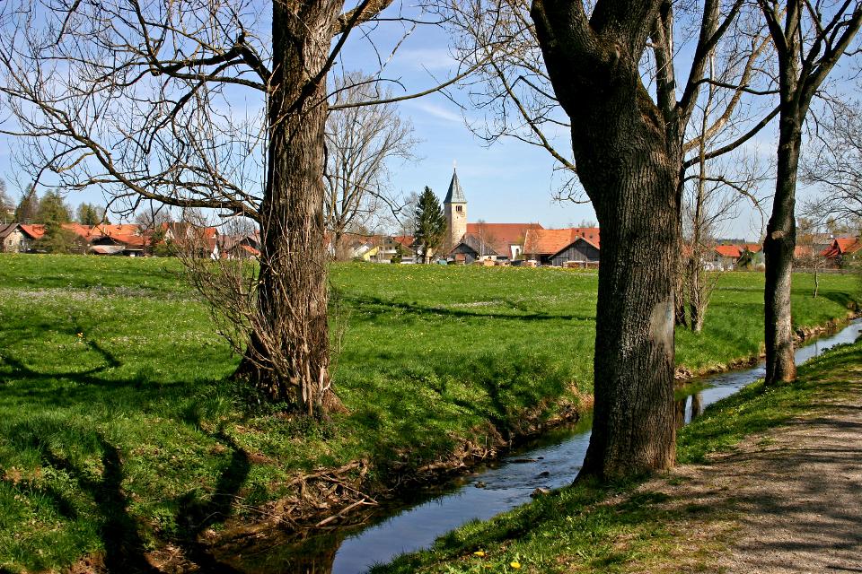
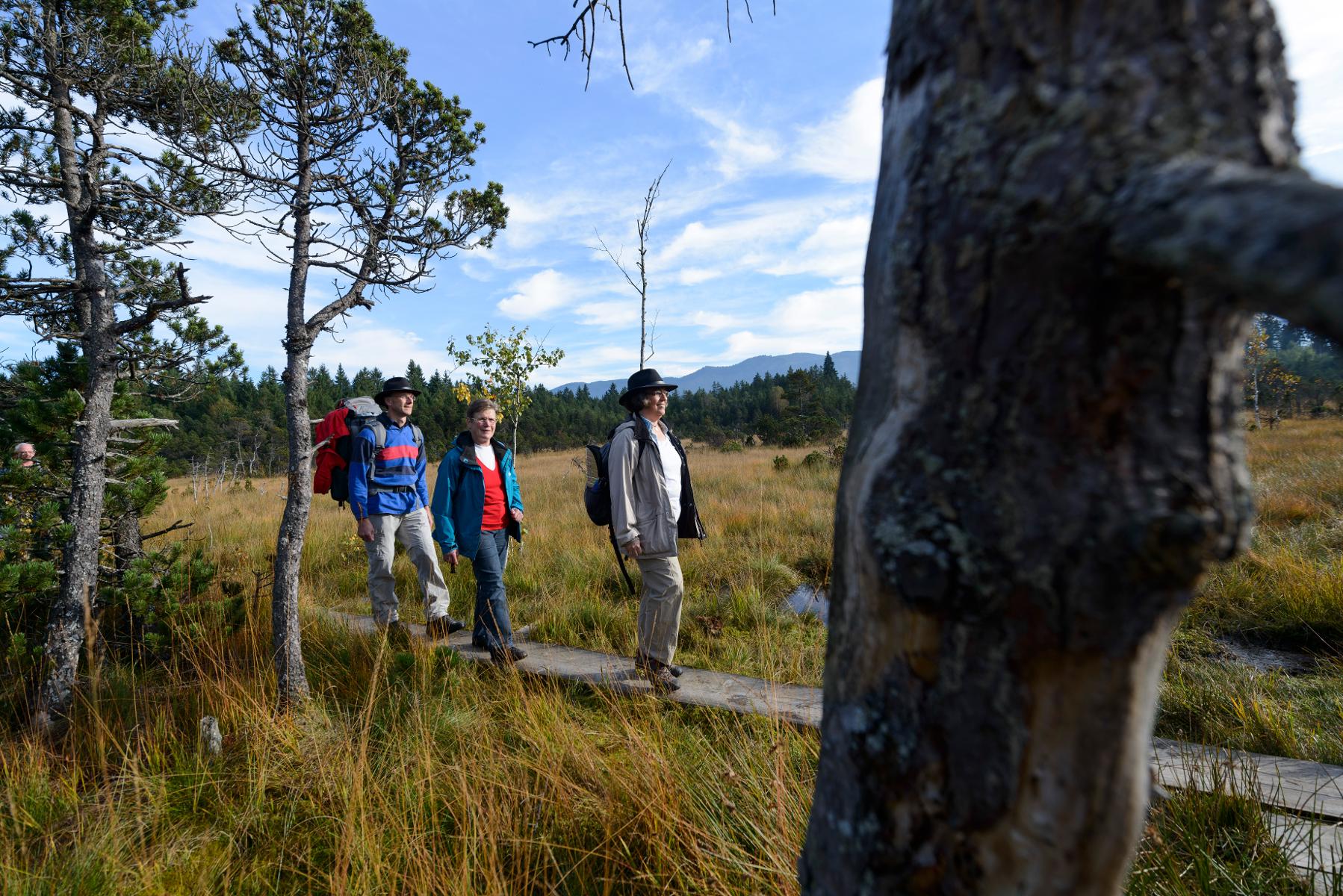
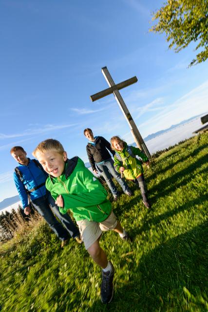
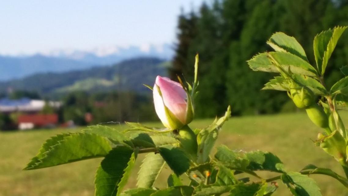
Über den Fernwanderweg Heilige Landschaft Pfaffenwinkel zum Kloster Andechs und über Herrsching zurück nach Pähl. Auf dem Weg genießen wir einen schönen Ausblick über den Pfaffenwinkel und den Ammersee.
-
Aufstieg: 367 hm
-
Abstieg: 367 hm
-
Länge der Tour: 29,3 km
-
Höchster Punkt: 733 m
-
Differenz: 201 hm
-
Niedrigster Punkt: 532 m
Schwierigkeit
mittel
Kondition
mittel
Panoramablick
viel
Saisonale Eignung
-
JAN
-
FEB
-
MRZ
-
APR
-
MAI
-
JUN
-
JUL
-
AUG
-
SEP
-
OKT
-
NOV
-
DEZ
Merkmale Touren
Aussichtsreich
Rundweg
Einkehrmöglichkeit
Kulturell / historisch
Wanderparkplatz in der Berndorfer Straße in Pähl.


Hier befindet sich auch
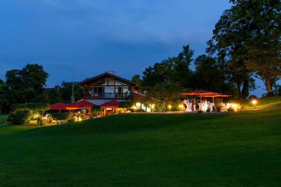
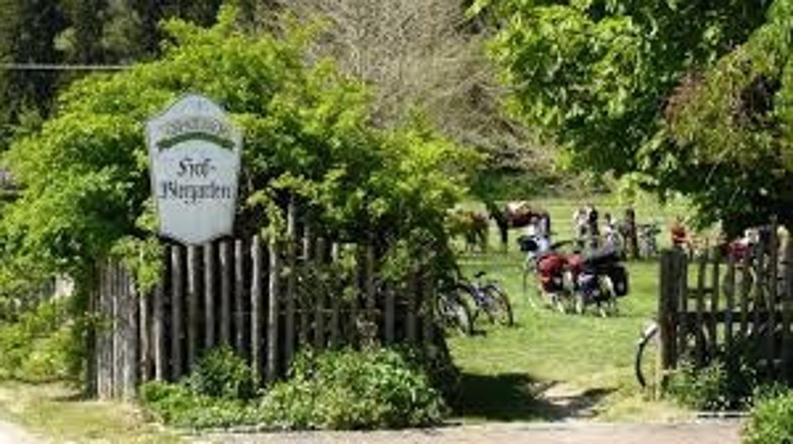
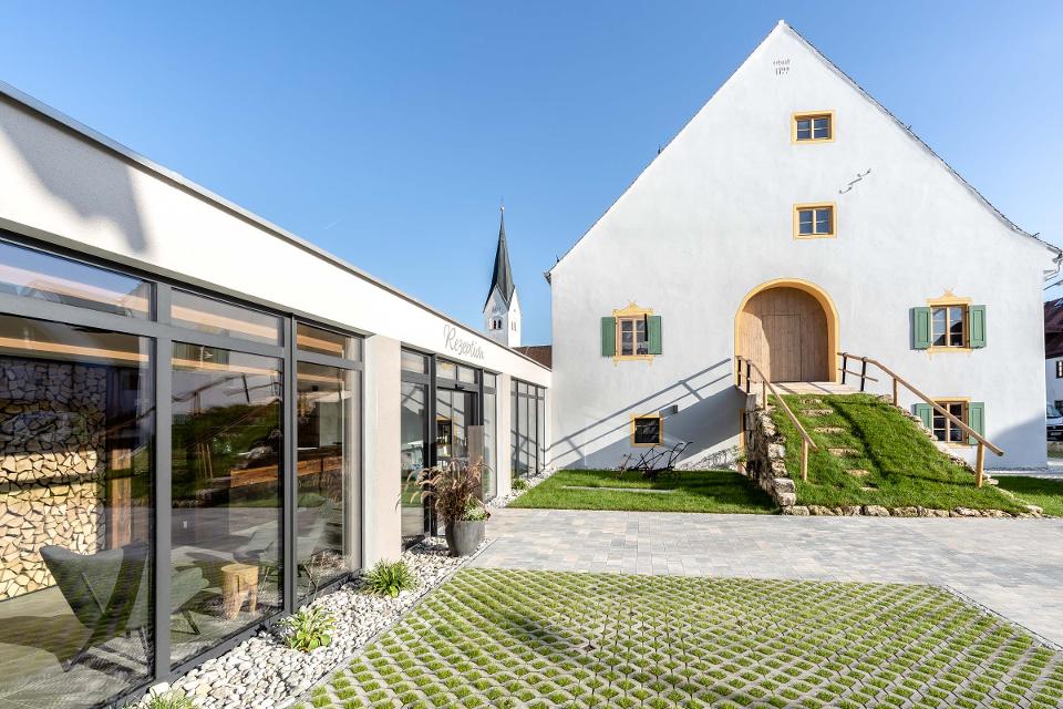
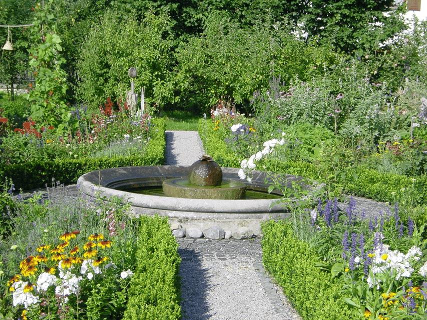
Gut Kerschlach, Klostergarten
Gut Kerschlach 1, 82396 Pähl
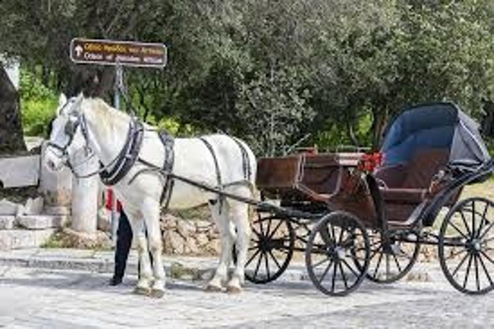
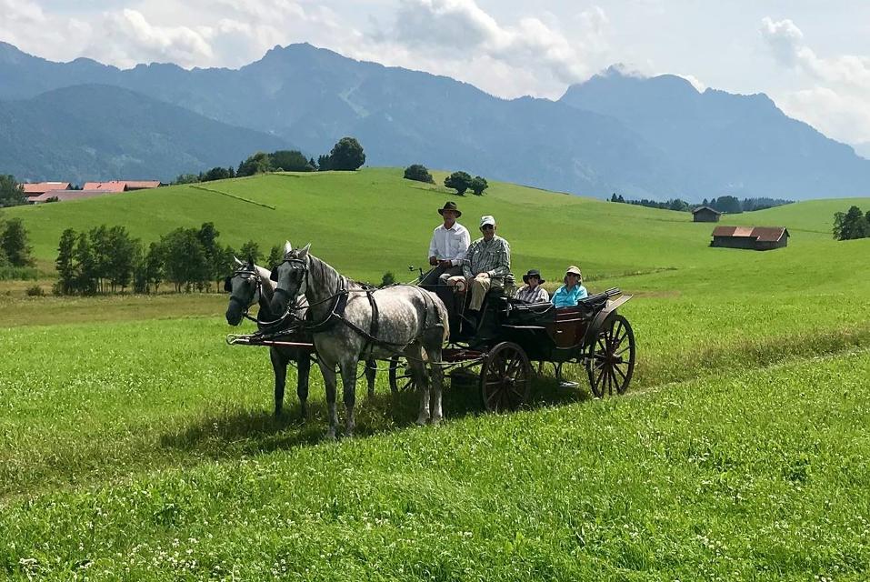
In der reizvollen Landschaft des Pfaffenwinkels zwischen Ammersee und Starnberger See befindet sich das landwirtschaftliche Bio Hofgut Kerschlach. Das Gut, das einst ein Klostergut der Benediktinerinnen war, ist heute ein biologischer Hof, der neben verschiedenen Produktionsbetrieben wie einer Bäckerei und Metzgerei auch ein Paradies für Reiter und Pferd geworden ist.

Essen in der Nähe
"Essen in der Nähe" überspringen
ca. 5,3 km entfernt
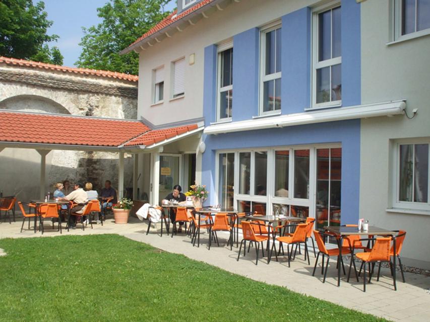
Hofgarten Pfaffenwinkel
Dorfstraße 4, 823662 Weilheim - Unterhausen
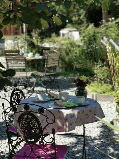
Auf einem besonders schönen Flecken Erde befindet sich der Hofgarten Pfaffenwinkel mit seinem idyllischen Café.

ca. 6,6 km entfernt
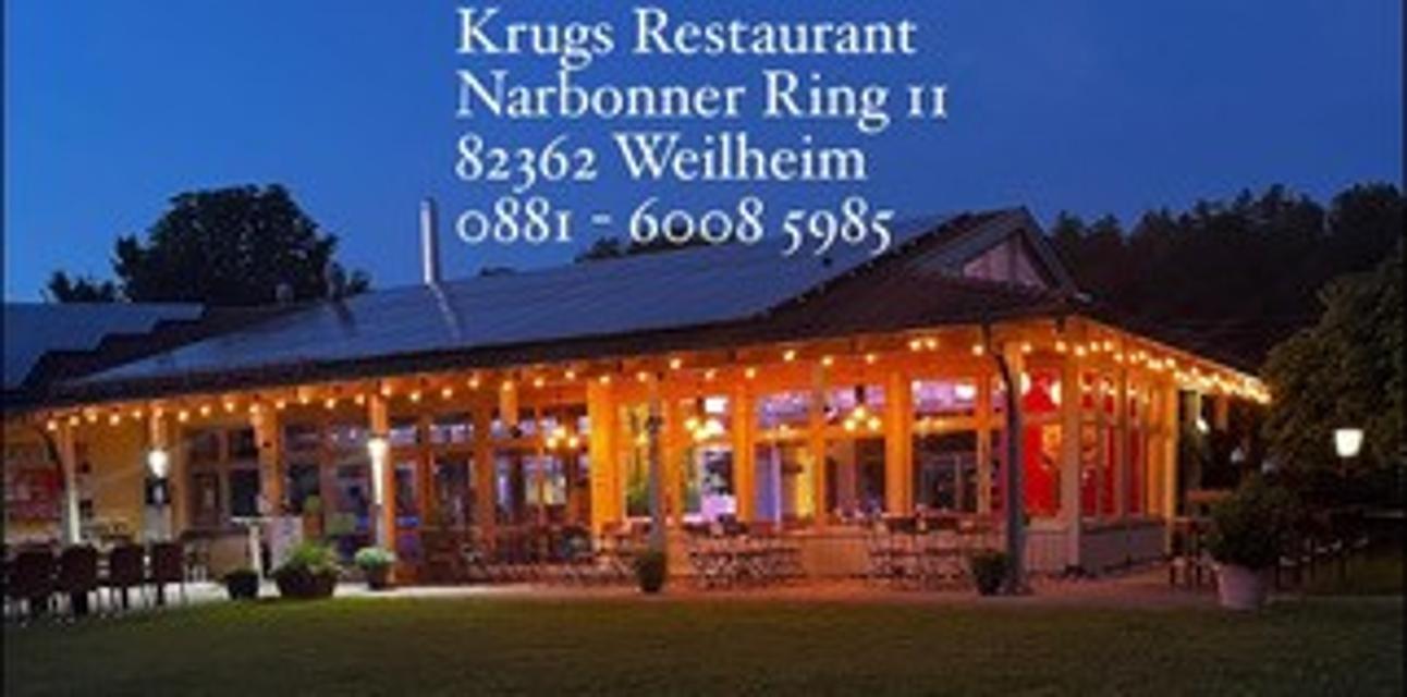
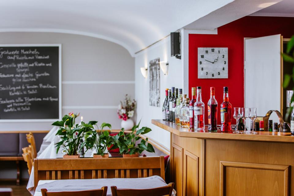
Krug’s Restaurant
Narbonner Ring 11, 82362 Weilheim
Krug’s Restaurant ist ein Novum in Weilheim und der gesamten Umgebung. Selbst verwöhnte Feinschmecker und hungrige Wanderer zieht es ins Krug’s Restaurant, denn die abwechslungsreiche Speisekarte, welche sich Saisonal ändert, findet großen Anklang.
ca. 7,8 km entfernt
Gelateria und Pizzeria Emporio
Schmidstraße 20, 82362 Weilheim
Ob auf einen schnellen Espresso oder einen gemütlichen Cappuccino mit italienischen Leckereien, hier ist jeder herzlich willkommen! Probieren Sie auch Eis und Patisserieprodukte aus eigener Herstellung. Und für den etwas größeren Hunger wartet traditionell mediterrane italienische Küche auf die Besucher.
ca. 8,0 km entfernt
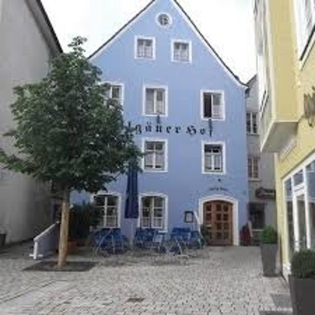
Gasthof Allgäuer Hof
Marienplatz 17, 82362 Weilheim
Der Allgäuer Hof ist eine traditionelle bayrische Gaststätte im Zentrum Weilheims (in Oberbayern).
ca. 8,0 km entfernt
Restaurant La Ruota
Kreuzgasse 10, 82362 Weilheim
Lassen Sie sich verwöhnen und genießen Sie Ihre Auszeit in Weilheim im Restaurant La Ruota.
ca. 8,0 km entfernt
Restaurant Korfu
Kreuzgasse 7, 82362 Weilheim
Griechisches Restaurant mit Biergarten in der Weilheimer Innenstadt.
ca. 8,0 km entfernt
Unterkünfte in der Nähe
"Unterkünfte in der Nähe" überspringen
ca. 8,0 km entfernt
Wohnmobilstellplatz Weilheim
Lohgasse 17, 82362 Weilheim
Hinweis: im Ort den Reisemobil-Piktogrammen zum Stellplatz folgenGPS-Koordinaten: N 47° 84‘ 00" / O 11° 13‘ 63"Der In weniger als 500 Meter Entfernung vom Wohnmobilstellplatz befinden sich: Ufer der Ammer mit Fuß- und Radweg nach Norden und Süden Naherholungsgebiet „Au“ mit neu angelegtem Fitness-Parcours für Jung und Alt Weilheims historische Altstadt mit zahlreichen Einkaufs- und Einkehrmöglichkeiten Lebensmittel-Discounter in der Lohgasse
Weitere Tipps in der Nähe
"Weitere Tipps in der Nähe" überspringen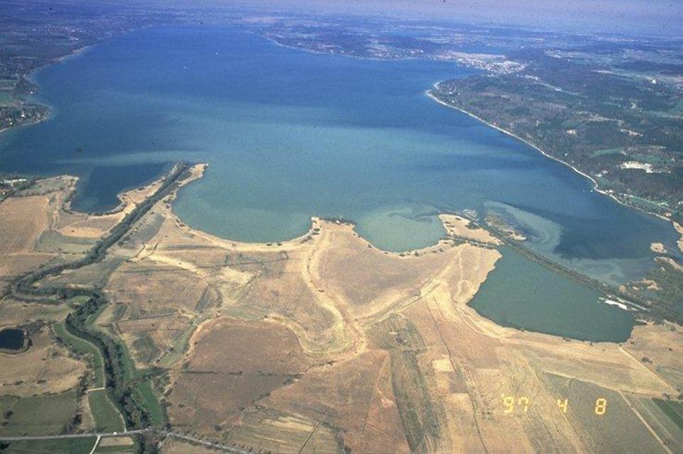
ca. 0,1 km entfernt
Etappe 5, Nordschleife, Heilige Landschaft Pfaffenwinkel - Von Pähl nach Weilheim
Puste ist gefragt - die 21 km der fünften Etappe von Pähl über Wilzhofen und Marnbach nach Weilheim fordern unsere Ausdauer. Dafür werden wir mit vielen schönen Ausblicken über die herrliche Hardtlanschaft und teilweise bis zu den Alpen, Sehenswürdigkeiten sowie grünen Wäldern und Wiesen belohnt. Architektonische Highlights erwarten uns in Weilheim, darunter die Pfarrkirchen Mariä Himmelfahrt und St. Pölten und der Marienplatz sowie die gut erhaltene Stadtmauer. Auch das sogenannte "Museum des Pfaffenwinkels" ist ein Besuch wert. Dort werden Exponate der Region präsentiert und die Geschichte des Pfaffenwinkels näher beleuchtet.
7:00 h 305 hm 322 hm 21,3 km mittel
ca. 0,2 km entfernt
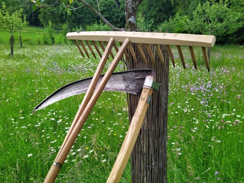
Sensenmähkurse auf der Asinella Eselfarm
Am Gasteig 4, 82396 Pähl
Mähen mit der Sense... früher harte Arbeit, die zum Überleben beitrug, heute oft eine Art sportlicher Meditation. Das Mähen mit der Sense ist gleichermaßen eine Technik-, Kraft-, Ausdauer- und Koordinationssache. Rhythmus, Routine und Ruhe bringen effektive Ergebnisse.
ca. 0,4 km entfernt
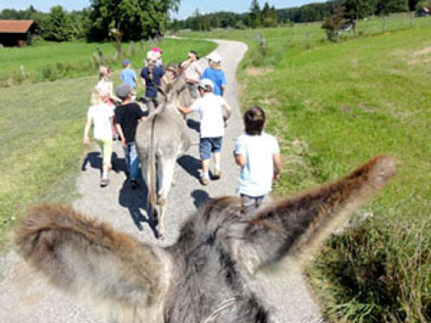
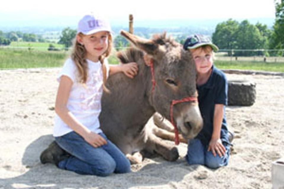
Kindergeburtstag auf der Asinella Eselfarm
Am Gasteig 4, 82396 Pähl
Asinella Eselfarm - Kindergeburtstage im Eselstall

ca. 2,4 km entfernt
Gut Kerschlach, Klostergarten
Gut Kerschlach 1, 82396 Pähl
In der reizvollen Landschaft des Pfaffenwinkels zwischen Ammersee und Starnberger See befindet sich das landwirtschaftliche Bio Hofgut Kerschlach. Das Gut, das einst ein Klostergut der Benediktinerinnen war, ist heute ein biologischer Hof, der neben verschiedenen Produktionsbetrieben wie einer Bäckerei und Metzgerei auch ein Paradies für Reiter und Pferd geworden ist.
ca. 2,5 km entfernt

Das könnte Dir auch gefallen
"Das könnte Dir auch gefallen" überspringen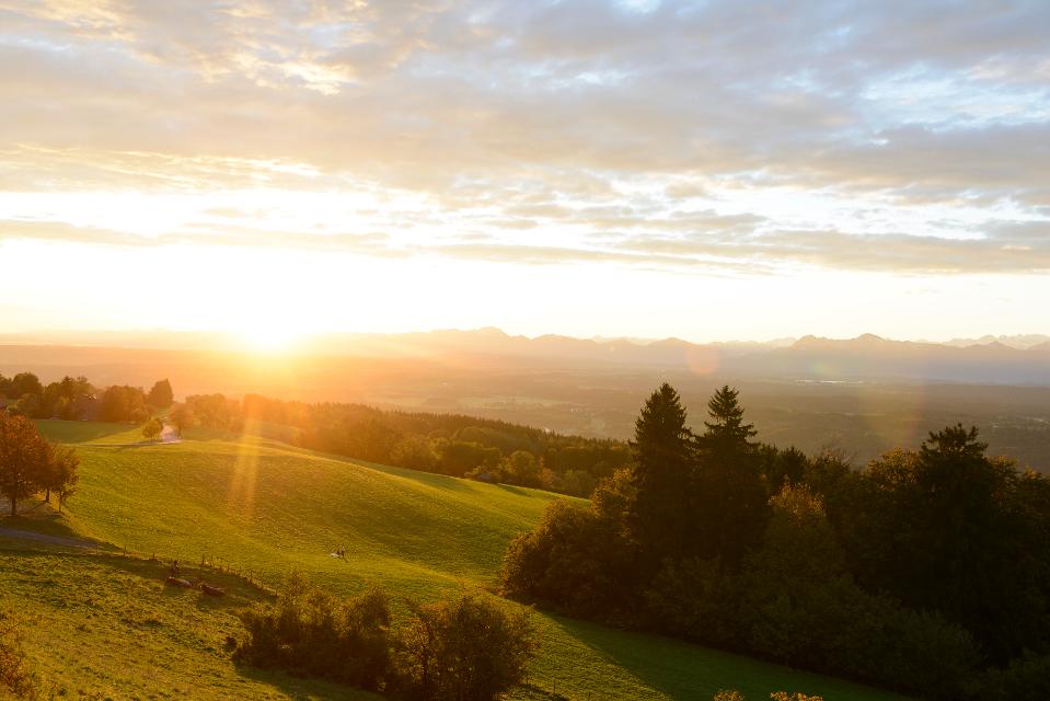
Knappensteig
Der Knappensteig verbindet den ausgeschilderten Stollenweg mit einer Besteigung des Hohen Peißenbergs, dem Panoramaberg im Pfaffenwinkel schlechthin. Entlang des mit zahlreichen Informationstafeln ausgestatteten Lehrpfads erfahren Wanderer interessante Details zum Bergbau rund um Peißenberg. Bei klarer Sicht reicht der Blick vom Hohen Peißenberg von den Chiemgauer Alpen über das Ester- und Wettersteingebirge bis zu den Ammergauer und Allgäuer Alpen. Beschildert: Nr. Nr. 83, rot
5:15 h 681 hm 681 hm 17,6 km sehr schwer
Bergwetter-Weg
In exponierter Lage führt die Spazierrunde auf gut beschilderten Wegen zu den spannenden Sehenswürdigkeiten des Hohen Peißenbergs. Auf der Runde erwartet uns die älteste Bergwetterstation der Erde, eine Entdeckungsreise durch die Welt des Klimas und die Wallfahrtskirche Maria Himmelfahrt. Beschildert: Nr. 82, blau
1:30 h 196 hm 196 hm 4,8 km sehr leicht
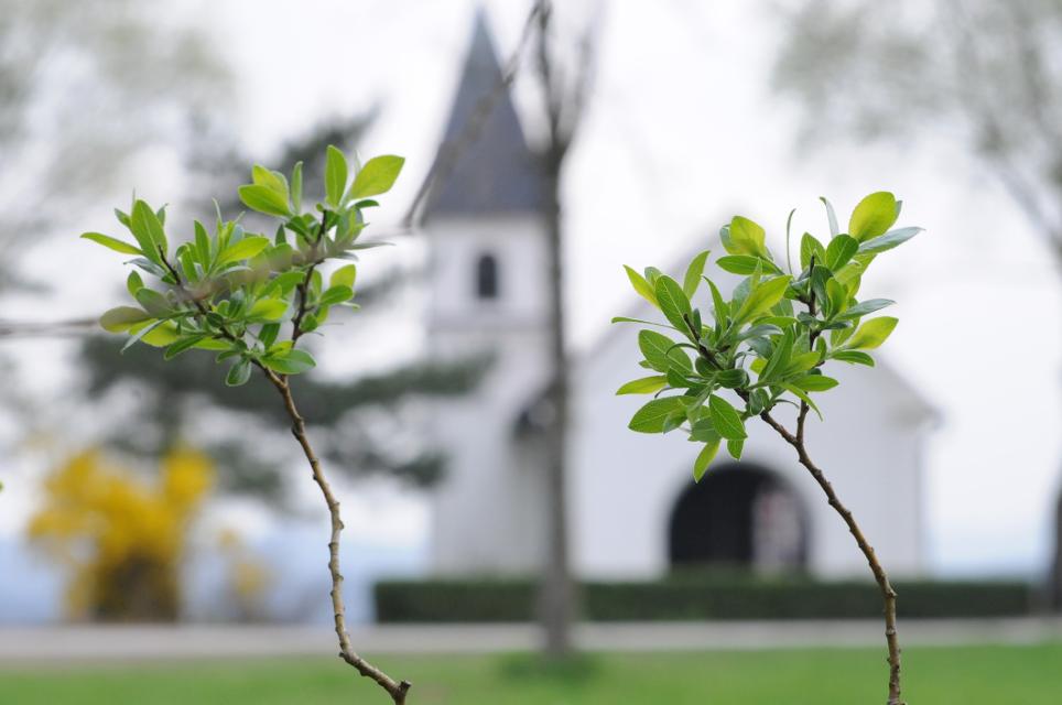
Kirchen-Rundweg Iffeldorf
Das Ziel des kurzen Rundwegs ist die Wallfahrtskirche St. Maria im Heuwinkl. Die als Heuwinklkapelle bekannte Kirche liegt wunderschön auf einer Anhöhe östlich von Iffeldorf. Sie gilt als eine der schönsten Kapellen im gesamten bayerischen Oberland. Durch ihre exponierte Lage und ihren originellen runden Bau mit der großen roten Kuppel ist sie schon von Weitem sichtbar. Beschildert: Nr. 24, grün
0:45 h 39 hm 39 hm 2,8 km sehr leicht
Peitnachrunde
Die Tour führt von Peiting zum Kalvarienberg und an der Peitnach entlang. Eine malerische Runde mit Alpenblick und Sicht auf den Hohen Peißenberg. Vor allem für Familien mit Kindern ist der Walderlebnispfad auf dem Kalvarienberg ein spannendes Erlebnis. Beschildert: Nr. 100, grün
2:00 h 147 hm 149 hm 6,4 km mittel
Römer und Welfen am Lech - Peiting
Auf dem bergigen Rundweg zwischen Schongau und Peiting folgt ein Highlight dem anderen. Am Schlossberg und an der Villa Rustica wandeln Wanderer auf den Spuren von Römern und Welfen, auf dem Walderlebnispfad warten spannende Stationen zum Mitmachen auf große und kleine Besucher und dazwischen eröffnen sich immer wieder grandiose Blicke auf die Alpenkette und den türkis leuchtenden Lech.
4:00 h 359 hm 359 hm 13,7 km mittel
Stadt- und Waldrunde
Die ausgedehnte Stadt- und Waldrunde in und um Penzberg wartet mit abgelegenen Aussichtspunkten, traumhaften Gewässen und weitläufigen Filzgebieten in Stadtnähe auf. Im Erholungsgebiet Berghalde wandert man auf den Spuren des Bergbaus und erfährt Wissenswertes zur Geschichte der Stadt Penzberg. Für junge Wanderer ist das Freizeitgebiet Gut Hub eine spannende Abwechslung. Beschildert: Nr. 1, rot
4:45 h 225 hm 225 hm 18,2 km mittel
Wald- und Weiherschleife
Die ausgedehnte Wald- und Weiherschleife, verläuft auf abwechslungsreichen Wegen mit vielen Sehenswürdigkeiten um Penzberg, die Stadt der 74 Nationen. Die Wanderung führt an landschaftlich reizvollen Plätzen vorbei, an romantischen Seen entlang und zu historischen Baudenkmälern. Auf dieser Runde präsentiert sich der Pfaffenwinkel von seiner schönsten Seite. Beschildert: Nr. 2, rot
4:30 h 242 hm 242 hm 16,4 km mittel

Wanderweg zum Hohen Peißenberg
Der Wanderweg zum Hohen Peißenberg ist eine anspruchsvolle Tour mit vielen Höhenmetern. Wenn der Berggipfel erreicht ist, wartet eine Vielzahl an Sehenswürdigkeiten und ein herrlicher Rundumblick auf erkundungsfreudige Wanderer. Die Wallfahrtskirche, das Observatorium und der Fernsehturm sind nur einige der Attraktionen. Für junge Wanderer ist der Wetterlehrpfad eine spannende Reise in die Welt des Klimas. Beschildert: Nr. 77, blau
3:15 h 381 hm 381 hm 10,7 km mittel
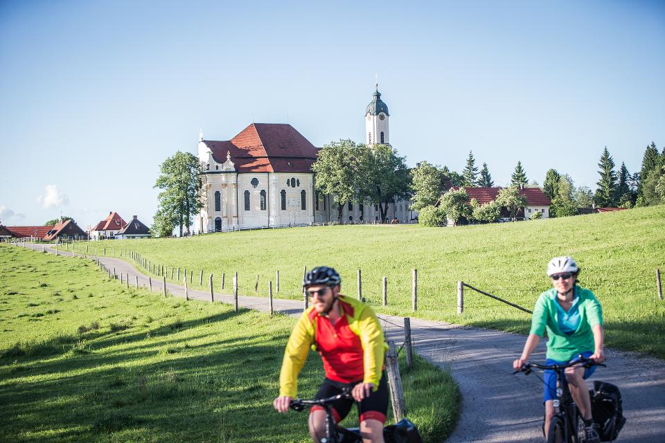
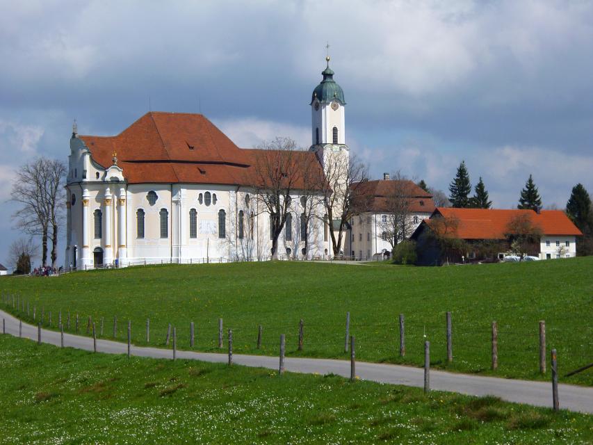
Brettleweg von Steingaden zur Wieskirche
Der reizvolle Rundweg zwischen Steingaden und der Wieskirche verspricht eine spannende Verbindung zwischen Natur und Kultur. Auf der einen Seite können berühmte Sehenswürdigkeiten wie die Wieskirche oder das Welfenmünster bewundert werden. Auf der anderen Seite bietet allen voran der Brettleweg durch das idyllische Wiesfilz ein einzigartiges Naturerlebnis. Beschildert: Nr. 114, blau
2:30 h 203 hm 203 hm 9,6 km mittel
Ostschleife "Spiegelnde Wasser" - Heilige Landschaft Pfaffenwinkel
Drei Mehrtageswanderungen führen durch die schönsten Ecken des oberbayerischen Pfaffenwinkels, dessen Kultur über Jahrhunderte durch zahlreiche Klöster geprägt wurde. Die ruhigen Wanderwege verbinden Kirchen, Klöster und Kraftorte in der Natur. Die drei Pilgerwege starten und enden am Hohen Peißenberg, der einen Rundblick über die gesamte Region bietet und als bedeutender Wallfahrtsort dafür prädestiniert ist. Auf der Ostschleife mit dem Thema „spiegelnde Wasser“ führen 8 Tagesetappen mit einer Gesamtlänge von 139 km zu den bedeutenden Klosterorten Polling, Bernried und Benediktbeuern. Landschaftlich geprägt ist die Route vom Starnberger See und den Osterseen sowie den unzähligen Seen und Weihern am Weg, in denen man sich und sein Leben spiegeln kann.
40:00 h 1388 hm 1388 hm 139,4 km sehr schwer
Römer und Welfen am Lech
Der ausgedehnte Rundweg folgt den Spuren von Römern und Welfen am Lech. Über den Schlossberg, wo einst die Welfenburg stand und vorbei an der Villa Rustica, einem antiken Badehaus der Römer, führt der Weg durch das Lechgebiet zwischen Schongau und Peiting. Unterwegs kommen Wanderer immer wieder in den Genuss eines grandiosen Bergpanoramas und beeindruckenden Ausblicken auf den türkis leuchtenden Fluss.
3:45 h 347 hm 347 hm 13,7 km mittel
Radpilgern durch Pfaffenwinkel und Zugspitz Region: Weitblicke - Vom Hohen Peißenberg zu spiegelnden Wassern
Diese Runde ist der Himmel. Ihm kommt man ganz nah auf dem Hohen Peißenberg mit seiner über 500 Jahre alten Wallfahrtskirche und einem der schönsten Rundblicke Bayerns.
7:00 h 931 hm 931 hm 94,9 km
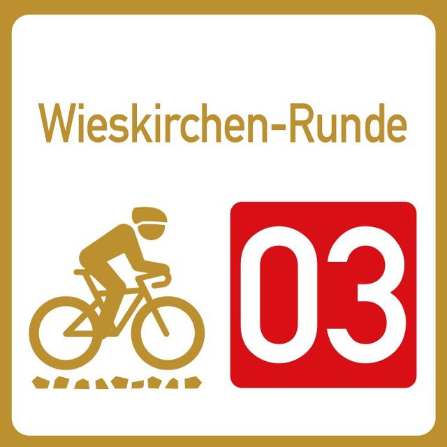
Wieskirchen-Runde
Erlebe die Wieskirche auf zwei Rädern! Ein einzigartiges Raderlebnis im Pfaffenwinkel für Kultur- und Naturliebhaber.
3:10 h 453 hm 453 hm 45,2 km mittel
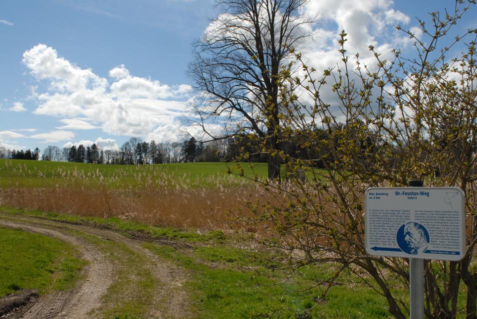
Doktor-Faustus-Weg
Der Doktor-Faustus-Weg wurde nach den Ortsbeschreibungen im Roman angelegt, die durch Thomas und Viktor Mann eindeutig für Polling verbürgt sind. Der landschaftlich reizvolle Rundweg berührt alle Orte, die Thomas Mann im Zusammenhang mit Geburts- und Wohnort seiner Titelfigur Adrian Leverkühn erwähnt. Man wandert auf den Spuren eines bedeutenden Werkes der Weltliteratur - im Spannungsfeld zwischen Realität und Kunstfigur. Mit 13 Texttafeln bietet der Themenweg unterhaltsame Erholung in intakter Kulturlandschaft.
1:30 h 60 hm 60 hm 4,6 km sehr leicht
Königssträßle-Rundweg
Die panoramareiche Runde führt auf ruhigen Wegen durch die hügelige Voralpenlandschaft des südlichen Pfaffenwinkels. Grandiose Bergblicke und die weit über die Grenzen Bayerns hinaus bekannte Wieskirche ziehen Spaziergänger in ihren Bann. Beschildert: Nr. 117, blau
2:30 h 173 hm 173 hm 9,8 km mittel

Kapellenrunde
Die Tour führt auf ruhigen Wegen zu den schönsten Kapellen im Osten von Weilheim.
3:00 h 166 hm 166 hm 26,5 km mittel
Winterwanderung - Auf den Hohen Peißenberg
Der Wanderweg zum Hohen Peißenberg ist eine anspruchsvolle Tour mit vielen Höhenmetern. Wenn der Berggipfel erreicht ist, wartet eine Vielzahl an Sehenswürdigkeiten und ein herrlicher Rundumblick auf erkundungsfreudige Wanderer. Die Wallfahrtskirche, das Observatorium und der Fernsehturm sind nur einige der Attraktionen. Für junge Wanderer ist der Wetterlehrpfad eine spannende Reise in die Welt des Klimas. Beschildert: Nr. 77, blau
3:30 h 380 hm 380 hm 10,7 km mittel
Winterwanderung - Knappensteig
Der Knappensteig verbindet den ausgeschilderten Stollenweg mit einer Besteigung des Hohen Peißenbergs, dem Panoramaberg im Pfaffenwinkel schlechthin. Entlang des mit zahlreichen Informationstafeln ausgestatteten Lehrpfads erfahren Wanderer interessante Details zum Bergbau rund um Peißenberg. Bei klarer Sicht reicht der Blick vom Hohen Peißenberg von den Chiemgauer Alpen über das Ester- und Wettersteingebirge bis zu den Ammergauer und Allgäuer Alpen. Beschildert: Nr. Nr. 83, rot
5:15 h 533 hm 533 hm 17,6 km sehr schwer
Reitersau-Rundweg
Auf dem ruhigen Rundweg durchstreifen Spaziergänger die sanfte Hügellandschaft südlich von Steingaden. Das Welfenmünster in dem ehemaligen Klosterdorf gilt als eine der bedeutendsten Sehenswürdigkeiten im gesamten Pfaffenwinkel. Beschildert mit der Nr. 121, blau
1:30 h 111 hm 111 hm 6,7 km sehr leicht
Pfaffenwinkel Radrundfahrt, 160 km
Wir verlassen Peiting in Richtung Schongau. Vorbei an Altenstadt, Sachsenried, Rettenbach, Bernbeuren und dem Auerberg erreicht man Lechbruck. Weiter geht es über Prem, die Wieskirche nach Rottenbuch. Im weiteren Verlauf führt die Route über Schöffau und den Staffelsee wieder Richtung Norden nach Weilheim. Weiter in östliche Richtung erreicht man den Zellsee, Forst und Herzogsägmühle wieder den Ausgangspunkt Peiting.
10:25 h 1235 hm 1241 hm 145,3 km sehr schwer
Etappe 5, Nordschleife, Heilige Landschaft Pfaffenwinkel - Von Pähl nach Weilheim
Puste ist gefragt - die 21 km der fünften Etappe von Pähl über Wilzhofen und Marnbach nach Weilheim fordern unsere Ausdauer. Dafür werden wir mit vielen schönen Ausblicken über die herrliche Hardtlanschaft und teilweise bis zu den Alpen, Sehenswürdigkeiten sowie grünen Wäldern und Wiesen belohnt. Architektonische Highlights erwarten uns in Weilheim, darunter die Pfarrkirchen Mariä Himmelfahrt und St. Pölten und der Marienplatz sowie die gut erhaltene Stadtmauer. Auch das sogenannte "Museum des Pfaffenwinkels" ist ein Besuch wert. Dort werden Exponate der Region präsentiert und die Geschichte des Pfaffenwinkels näher beleuchtet.
7:00 h 305 hm 322 hm 21,3 km mittel
Etappe 5, Ostschleife, Heilige Landschaft Pfaffenwinkel - Von Benediktbeuern nach Iffeldorf
Die fünfte Etappe des Fernwanderwegs Heilige Landschaft Pfaffenwinkel Ostschleife führt uns von Benediktbeuern nach Iffeldorf. Auf dieser Etappe bestaunen wir das Kloster Benediktbeuern, die Heuwinklkapelle und die Kirche St. Vitus in Iffeldorf. In Penzberg wandern wir im Erholungsgebiet Berghalde auf den Spuren des Bergbaus und erfahren Wissenswertes zur Geschichte der Stadt Penzberg.
5:15 h 262 hm 277 hm 20,8 km sehr schwer
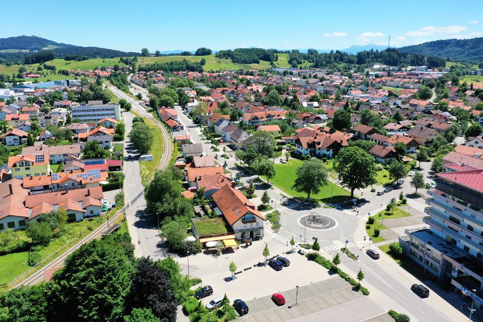
Etappe 6, Nordschleife, Heilige Landschaft Pfaffenwinkel - Von Weilheim nach Peißenberg
Die sechste Etappe des Fernwanderwegs Heilige Landschaft Pfaffenwinkel Nordschleife führt uns von Weilheim nach Peißenberg. Falls wir nach der langen fünften Etappe keine Zeit mehr hatten, Weilheim zu besichtigen, so lässt uns die nicht ganz so lange, sechste Etappe dafür genug Zeit im Vorfeld noch durch die Fußgängerzone und über den Marienplatz zu flanieren, die Stadtpfarrkirche Mariae Himmelfahrt zu besuchen und die Kirche St. Pölten - die älteste Weilheimer Kirche, deren Ursprünge bis ins 8. Jh. zurück gehen zu bestaunen. Danach machen wir uns auf den Weg nach Peißenberg. Unterwegs treffen wir erneut auf die Ammer und können in Polling das sehenswerte Klosterdorf (Kloster Heilig Kreuz) und die Stiftskirche St. Salvator der Augustiner Chorherren besuchen.
3:45 h 157 hm 141 hm 12,4 km mittel