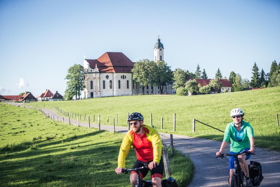
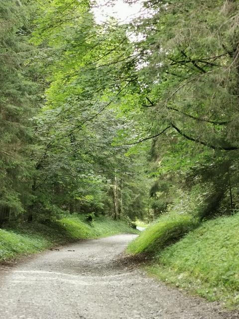
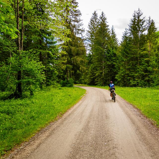
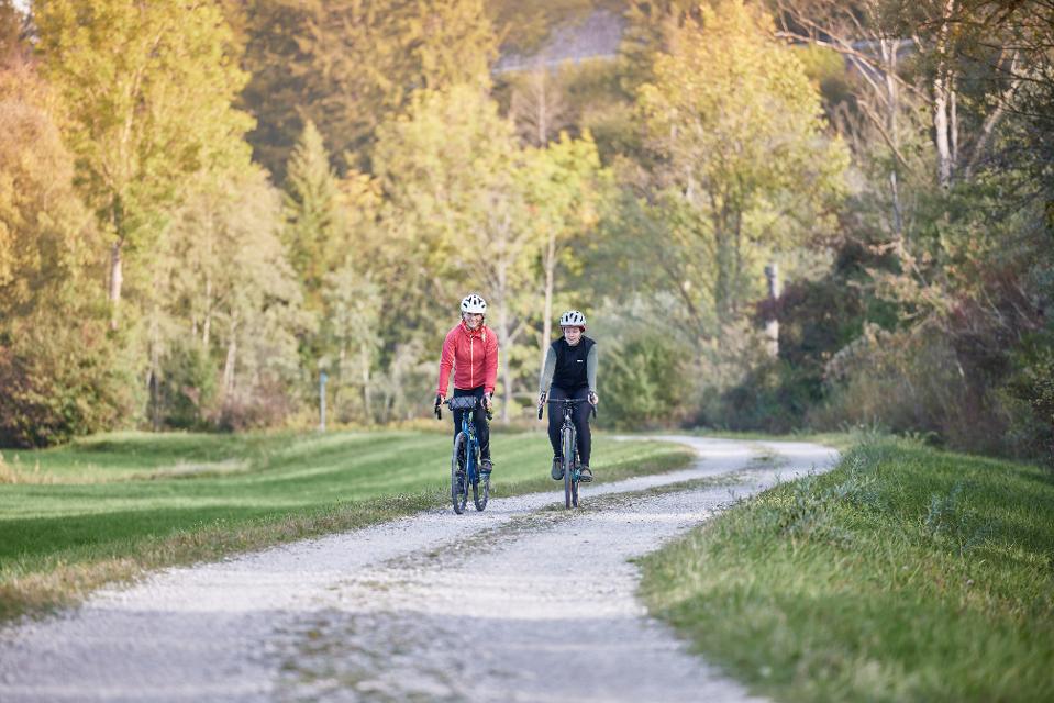
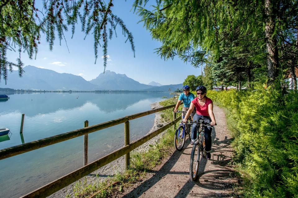
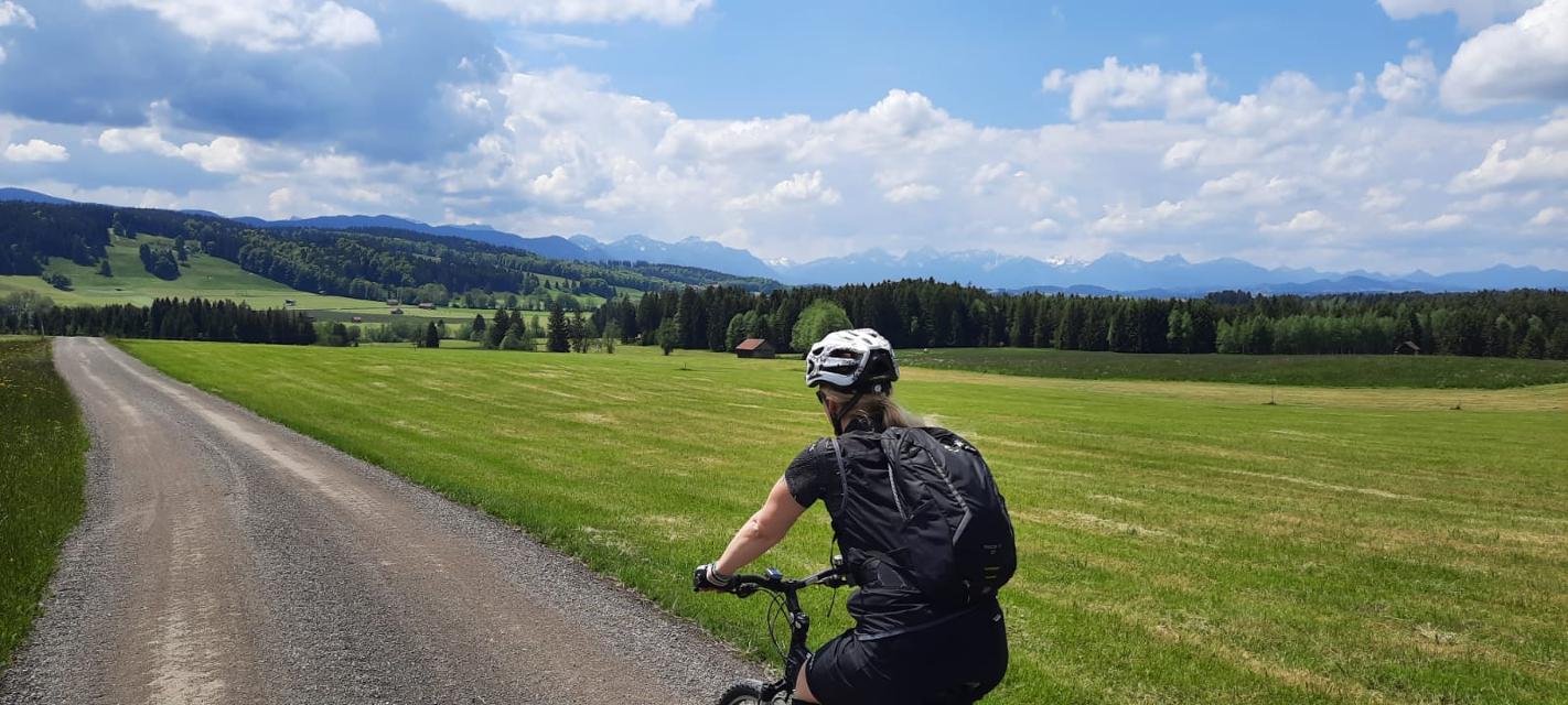
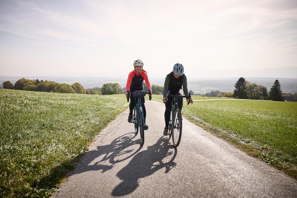
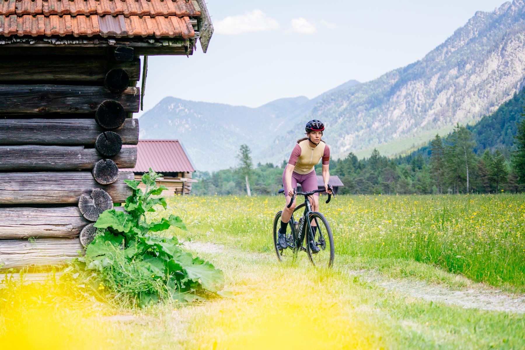
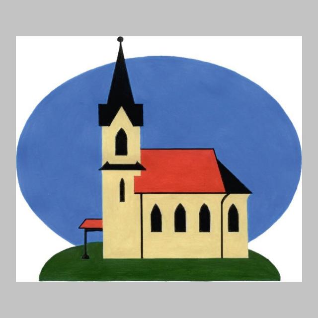
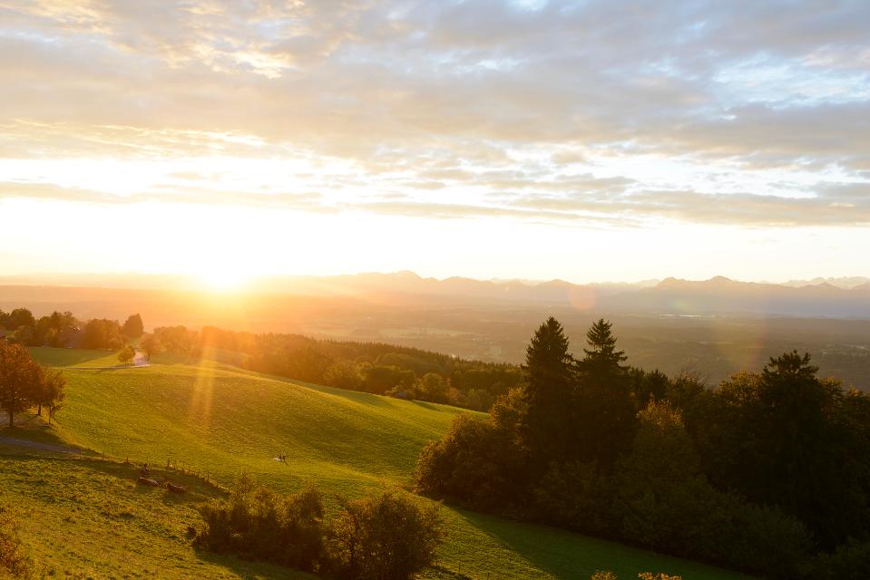
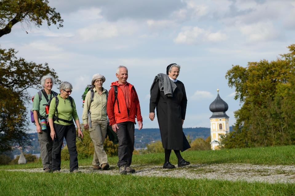
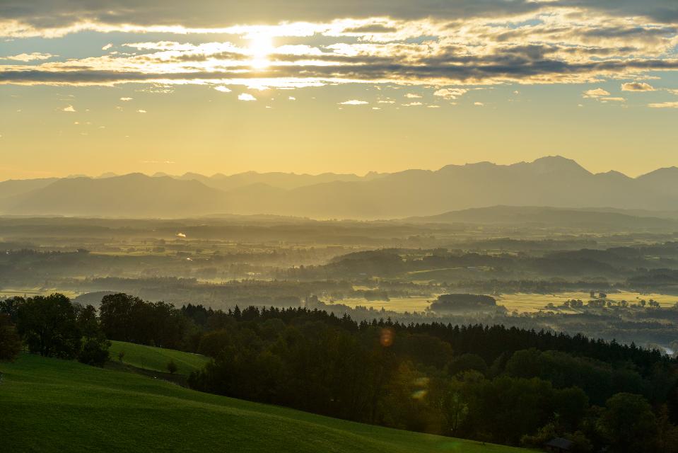
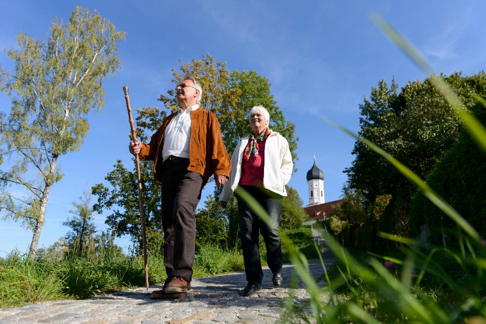
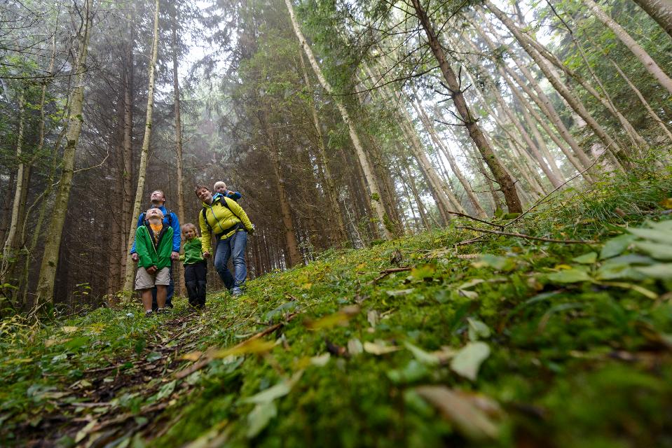
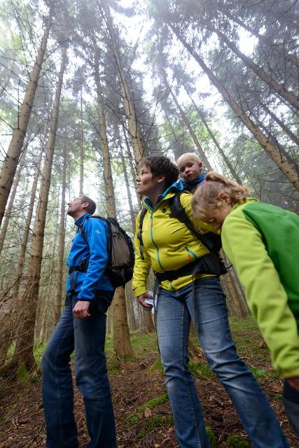
Erlebe die Wieskirche auf zwei Rädern! Ein einzigartiges Raderlebnis im Pfaffenwinkel für Kultur- und Naturliebhaber.
-
Aufstieg: 453 hm
-
Abstieg: 453 hm
-
Länge der Tour: 45,2 km
-
Höchster Punkt: 931 m
-
Differenz: 170 hm
-
Niedrigster Punkt: 761 m
Schwierigkeit
mittel
Kondition
mittel
Panoramablick
sehr viele
Saisonale Eignung
-
JAN
-
FEB
-
MRZ
-
APR
-
MAI
-
JUN
-
JUL
-
AUG
-
SEP
-
OKT
-
NOV
-
DEZ
Merkmale Touren
Aussichtsreich
Kulturell / historisch
Rundweg
Einkehrmöglichkeit
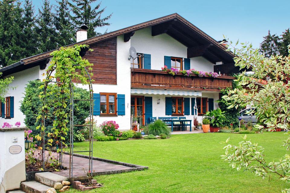
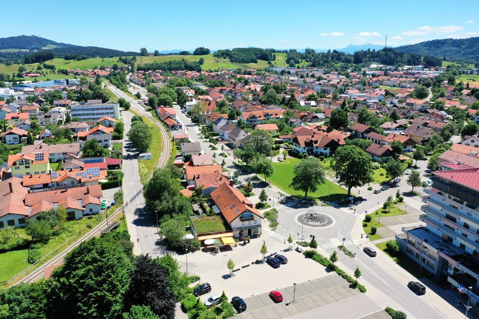
Parkplatz Steingaden Kissingerstraße 12a, Steingaden
Von Augsburg kommend über die B472 und B17 südwärts bis Steingaden.
Mit öffentlichen Verkehrsmitteln:
Start der Tour Steingaden direkt an der Touristinformation Steingaden
Bushaltestelle Feuerwehrhaus, Steingaden
Buslinie 9651 Weilheim - Peißenberg - Rottenbuch - Steingaden - Füssen
Buslinie 9822 Schongau - Steingaden
Buslinie 9606 Garmisch-Partenkirchen - Oberammergau - Wieskirche - Füssen
Buslinie 73 Füssen - Schwangau - Halblech - Steingaden - (Garmisch-Partenkirchen)
Deutsche Bahn Bahnhöfe in Saulgrub und Altenau (Linie Murnau - Oberammergau) mit Verbindungen nach München und Augsburg
Startpunkt: Parkplatz Steingaden, Kissingerstr.
Ziel: Parkplatz Steingaden, Kissingerstr.
Navigieren zu


Hier befindet sich auch
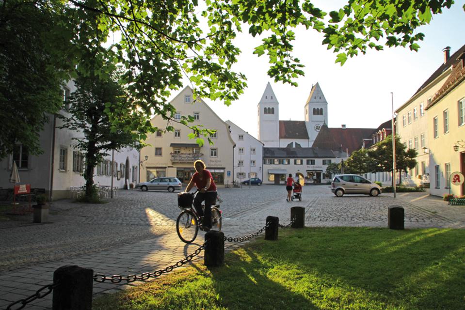
Tourist Information Steingaden
Krankenhausstraße 2, 86899 Steingaden
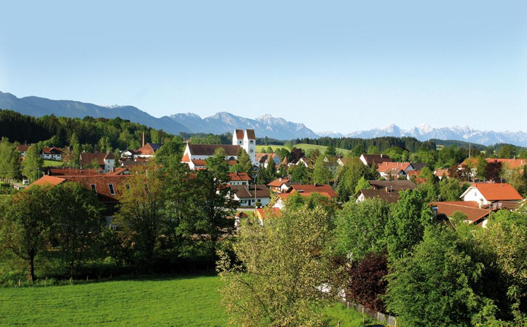
Herzlich Willkommen in Steingaden!
Kiosk an der Echelsbacher Brücke „ Hänsl & Gretls Brückenschmiede“
Achen 11, 82401 Rottenbuch
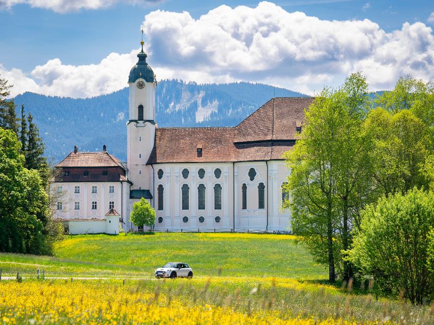
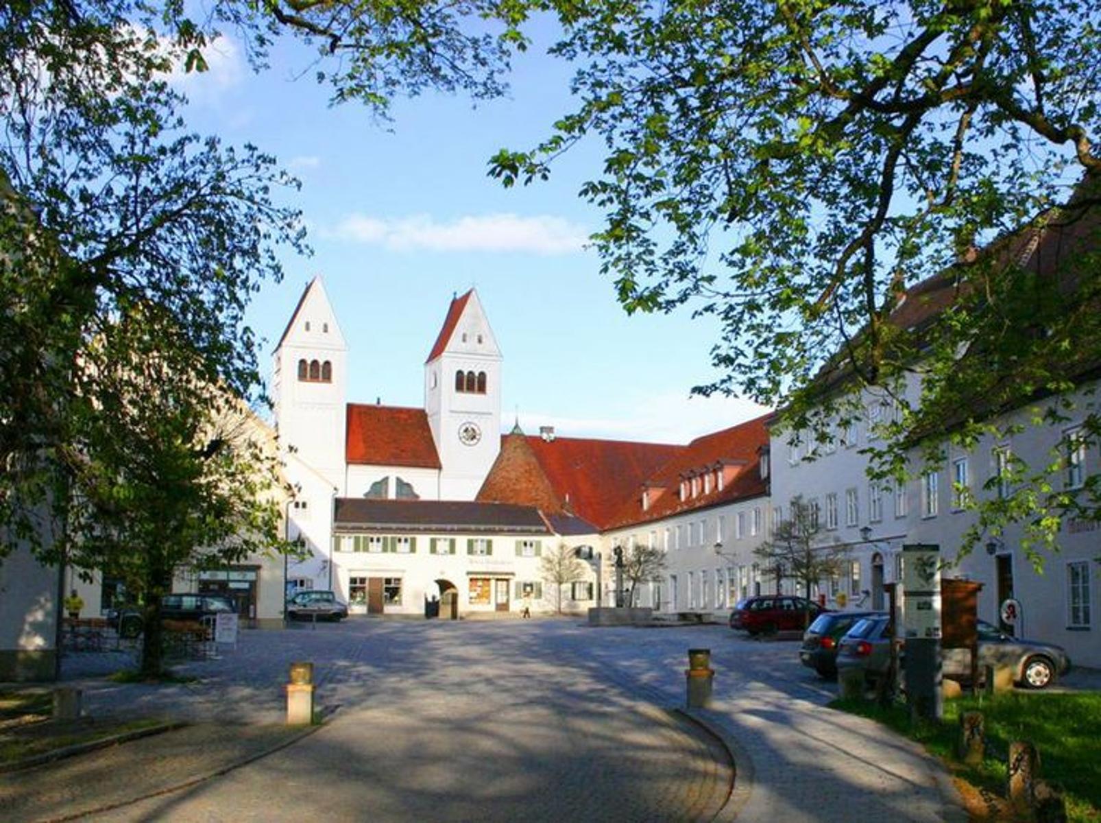
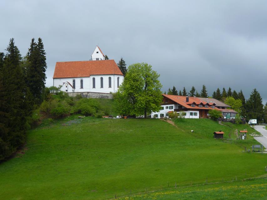
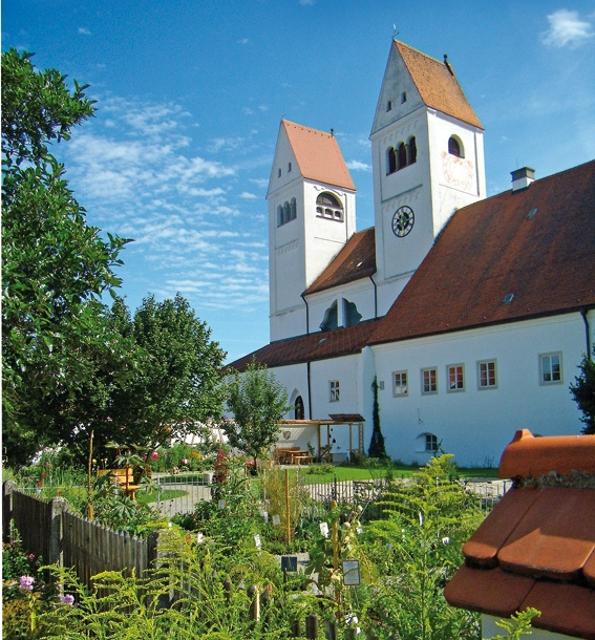
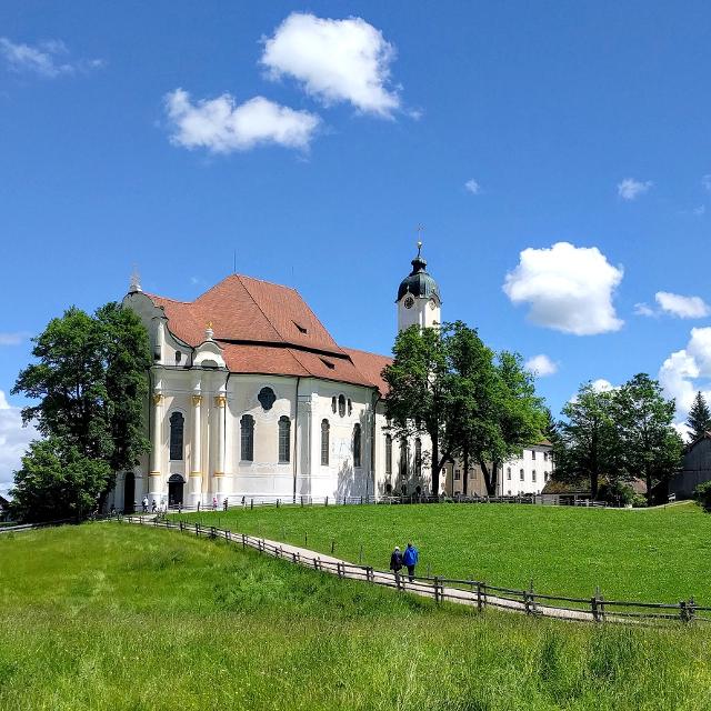
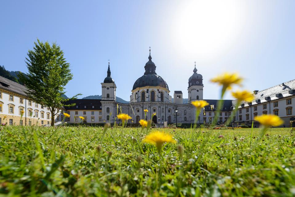
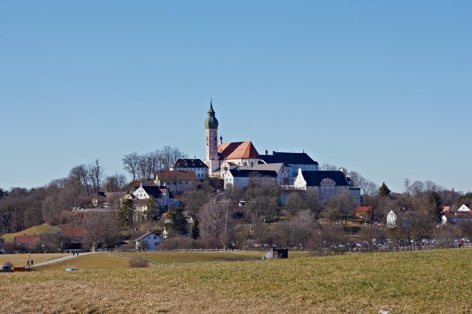
Wieskirche - Wallfahrtskirche zum Gegeißelten Heiland auf der Wies
Wies 12, 86989 Steingaden
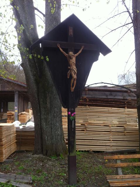
Die Wieskirche bei Steingaden ist eine der berühmtesten Rokokokirchen der Welt. Seit 1983 ist die Wieskirche UNESCO-Welterbestätte. Die Mitte dieses Gotteshauses ist die Figur des leidenden Christus, des Gegeißelten Heilandes.
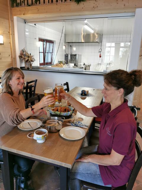
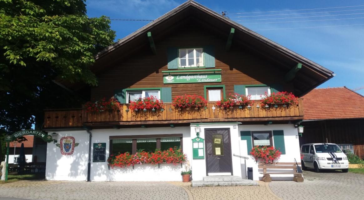
Essen in der Nähe
"Essen in der Nähe" überspringen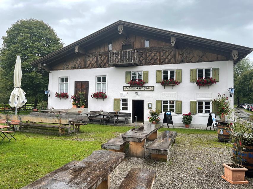
ca. 2,4 km entfernt
Gasthaus zur Illach
Illach 1, 86989 Steingaden
Uriger und schöner Biergarten direkt an der Illach bei Steingaden

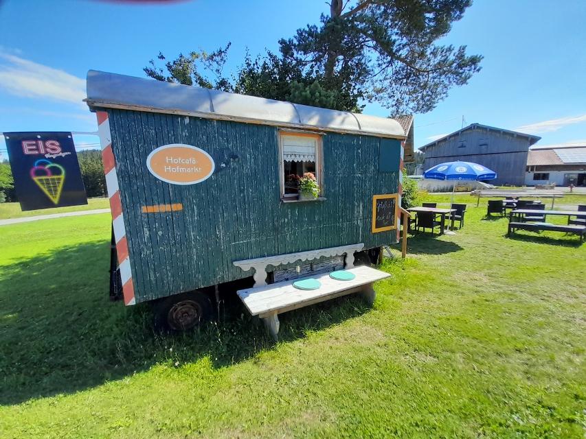
ca. 5,4 km entfernt
Magdalena
Obere Dorfstraße 23, 86984 Prem
Ein wunderschöner Blumenladen mit einem recht großen Café lädt zum Verweilen und Genießen ein.

ca. 7,6 km entfernt
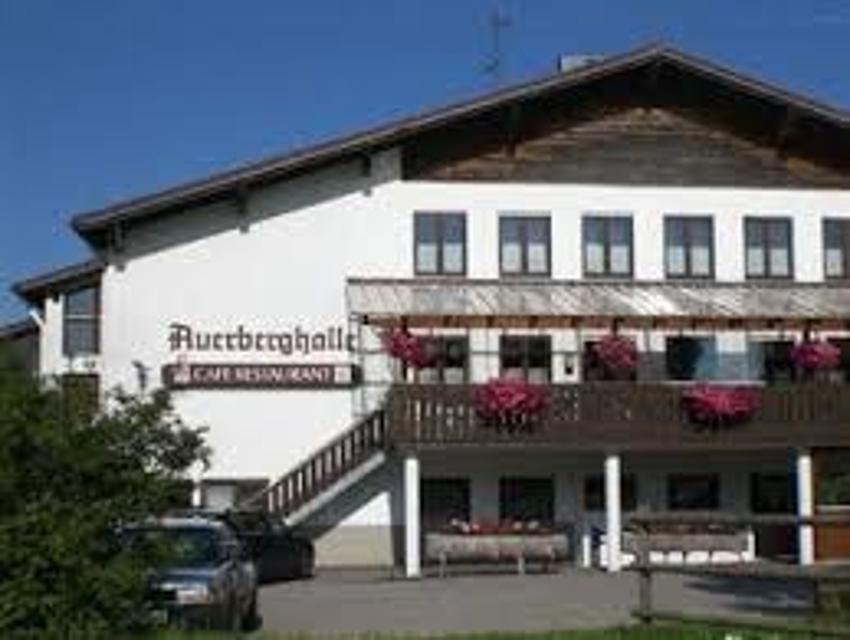
ca. 7,9 km entfernt
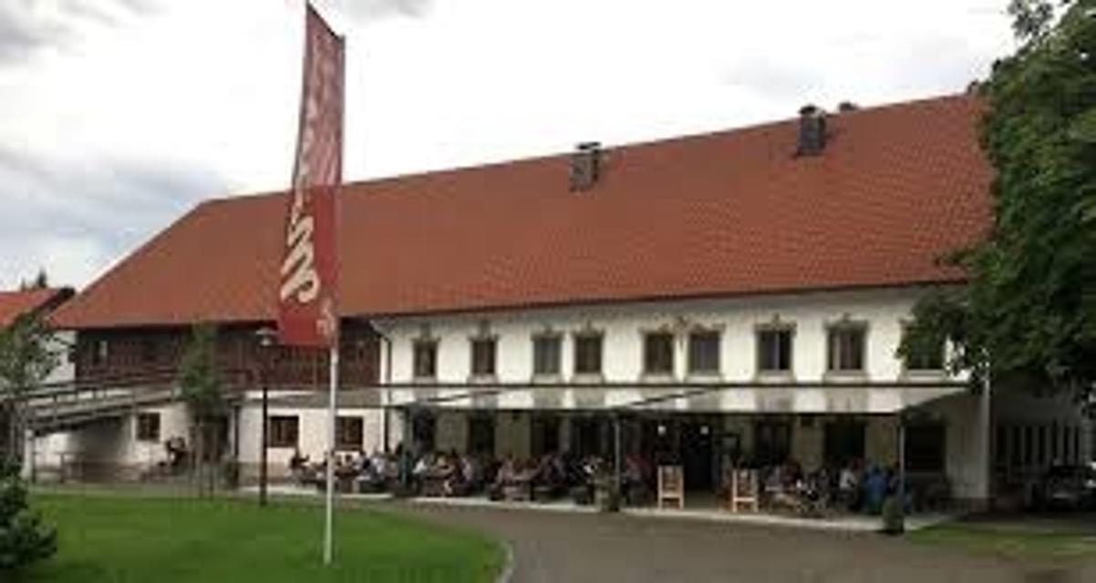
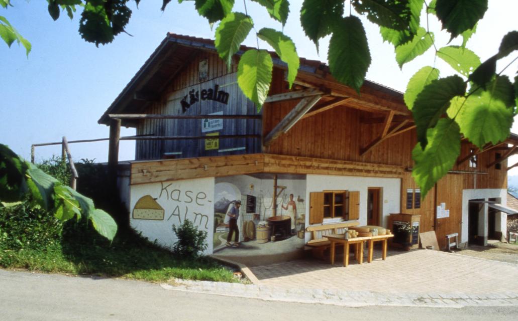
Schönegger Käsealm
Schönegg 6, 82401 Rottenbuch
Die Schönegger Käse-Alm ist nicht nur eine Station des Pfaffenwinkler Milchweges, sondern der Ort, an dem reine Heumilch aus der Region zu Käse verarbeitet wird. In der Schaukäserei können Interessierte den Prozess der Käseherstellung dienstags und donnerstags verfolgen und die fertigen Produkte anschließen im Verkauf erwerben. Für Hungrige gibt es Leckereien, die in der Brotzeitstube und im Biergarten verzehrt werden können. Ein Highlight für Kinder ist der Streichelzoo, der neben dem Spielplatz und dem Kräutergarten auf der Käse-Alm einen festen Platz eingenommen hat.

ca. 8,5 km entfernt
Kiosk an der Echelsbacher Brücke „ Hänsl & Gretls Brückenschmiede“
Achen 11, 82401 Rottenbuch
Unterkünfte in der Nähe
"Unterkünfte in der Nähe" überspringen

ca. 2,2 km entfernt
Wohnmobilstellplatz auf dem Ferienhof Steingaden
Maderbichl 4, 86989 Steingaden
Weitere Tipps in der Nähe
"Weitere Tipps in der Nähe" überspringen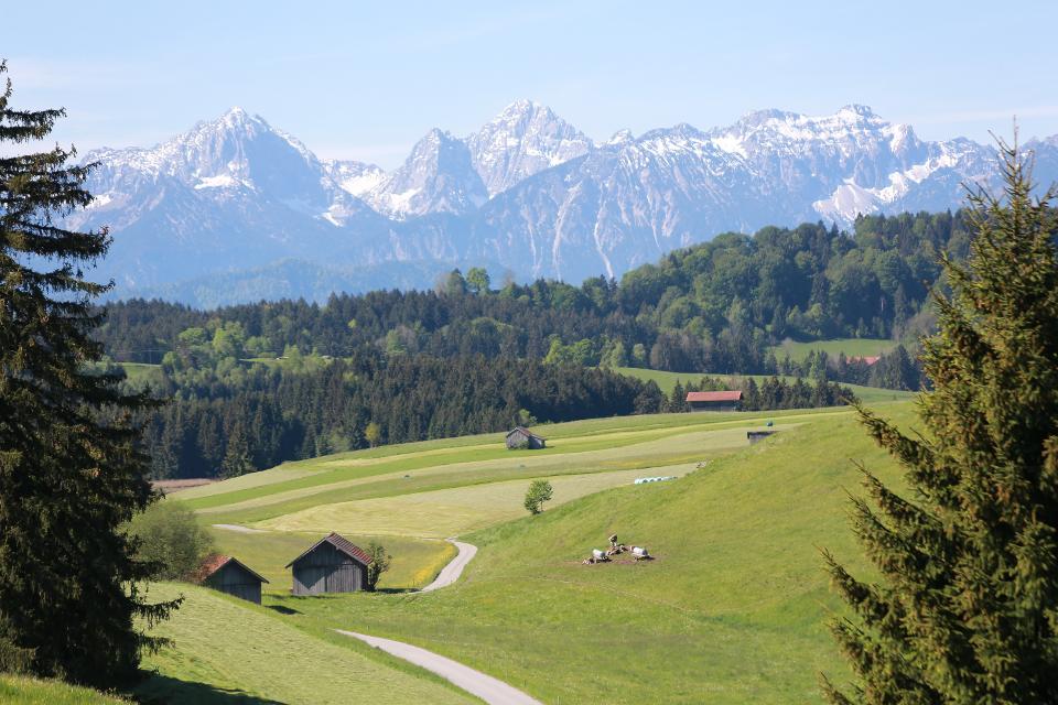
ca. 0,0 km entfernt
Land der Moore: Radeln rund ums Wiesfilz
Die Schleife führt Radler durch die südwestlichste Ecke des Pfaffenwinkels.
2:15 h 211 hm 211 hm 30,2 km
ca. 0,0 km entfernt
Etappe 3, Westschleife, Heilige Landschaft Pfaffenwinkel - Von Steingaden zum Auerberg
Ausgesprochen aussichtsreich führen uns die größtenteils gut ausgebauten Wege von Steingaden bis auf den Auerberg mit der weithin sichtbaren St. Georgs Kirche. Nachdem wir zunächst noch idyllisch entlang des Urspringer Lechstausees wandern, genießen wir auf dem Weg von Lechbruck in Richtung Auerberg fast durchgehend ein fantastisches Bergpanorama.
5:30 h 493 hm 212 hm 17,9 km sehr schwer
ca. 0,0 km entfernt
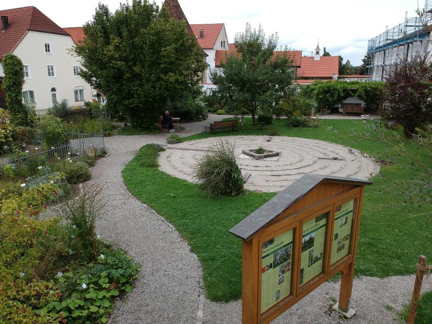
Klostergarten "St. Johannes"
86989 Steingaen
Ehemaliger Klostergarten, der nach alten Vorbildern innerhalb eines Jahres in ehrenamtlicher Arbeit als Lehr- und Medidationsgarten neu gestaltet worden ist. „Heilung - Ernährung - Spiritualität – Muße“ Diese vier tragenden Säulen traditioneller, klösterlicher Gartenkultur werden in diesem Garten ganzheitlich erlebbar. Sehr gepflegte, botanische und artenreiche Pflanzenwelt Heilpflanzen, Bibelpflanzen, geschützte Pflanzen, Wildblumen, kultivierte Blumen des ländlichen Gartens, usw.
ca. 0,1 km entfernt
Wies-Runde
Schöne Rundtour mit tollem Bergblick zur berühmten Wieskirche.
0:55 h 117 hm 110 hm 11,3 km
ca. 0,1 km entfernt
Panoramarunde Richtung Auerberg
Aussichtsreiche Rundtour Richtung Auerberg
2:45 h 371 hm 371 hm 37,2 km mittel

ca. 0,1 km entfernt
Genussrundtour zur Wieskirche
Abwechslungsreiche Rundtour zur Wieskirche mit herrlichen Ausblicken
1:10 h 122 hm 117 hm 14,9 km mittel
ca. 0,1 km entfernt
Panorama-Runde Schlosspark
Der Name spricht Bände - neben den wunderbaren Ausblicken auf Forggensee, Lech, Schloss Neuschwanstein und die Tannheimer Berge locken entlang dieser Runde auch näherliegende Schönheiten wie die Wieskirche, Badespaß am Illasbergsee oder das Premer Filz. Hier gibt es für alle, die nicht nur gern radeln sondern auch wandern, einen Moorlehrpfad.
3:05 h 300 hm 299 hm 41,3 km mittel
ca. 0,1 km entfernt
Forggenseerunde
Rundtour mit tollen Aussichten und möglichen Badestopps
3:50 h 272 hm 266 hm 53,5 km
ca. 0,1 km entfernt
Lechtour: über Riesen -Burggen zurück nach Steingaden
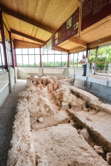
Abwechslungsreiche Rundtour mit Überquerung der Lechtalbrücke Schongau und interessanten Ausblicken. Besuchen Sie vor der Befahrung der Lechtalbrücke die Villa Rustica in Peiting. Die historische Ausgrabungsstätte eines römischen Landgutes aus dem 2. Jahrhundert n. Chr.
2:25 h 223 hm 223 hm 32,7 km

ca. 0,1 km entfernt
Radrundtour Steingaden-Rottenbuch-Wildsteig
Aussichtsreiche Rundtour von Steingaden über Rottenbuch nach Wildsteig und zurück.
2:55 h 441 hm 335 hm 36,5 km mittel
ca. 0,1 km entfernt
Lauterbach-Rundweg
In Steingaden beginnt der Rundweg nach Lauterbach. Vom Startpunkt führt der Weg über wenig befahrene Sträßchen und Forstwege nordöstlich von Steingaden. Ein Begleiter der Tour ist der grandiose Weitblick auf die Alpen und auf das Welfenmünster. Ausgeschildert ist der Weg mit der Nr. 119, blau.
2:15 h 142 hm 142 hm 7,3 km mittel
ca. 0,1 km entfernt
Osterbichl-Rundweg
Der Osterbichl-Rundweg führt uns durch das wunderschöne Voralpenland, wo Wanderer die sanfte Hügellandschaft östlich von Steingaden durchstreifen. Auf dieser Tour taucht man in den malerischen Brunnhäuslwald ein. Wann immer dieser verlassen wird, bieten sich wunderschöne Blicke auf die Alpen. Beschildert: Nr. 118, grün
1:15 h 118 hm 118 hm 4,6 km mittel
Das könnte Dir auch gefallen
"Das könnte Dir auch gefallen" überspringen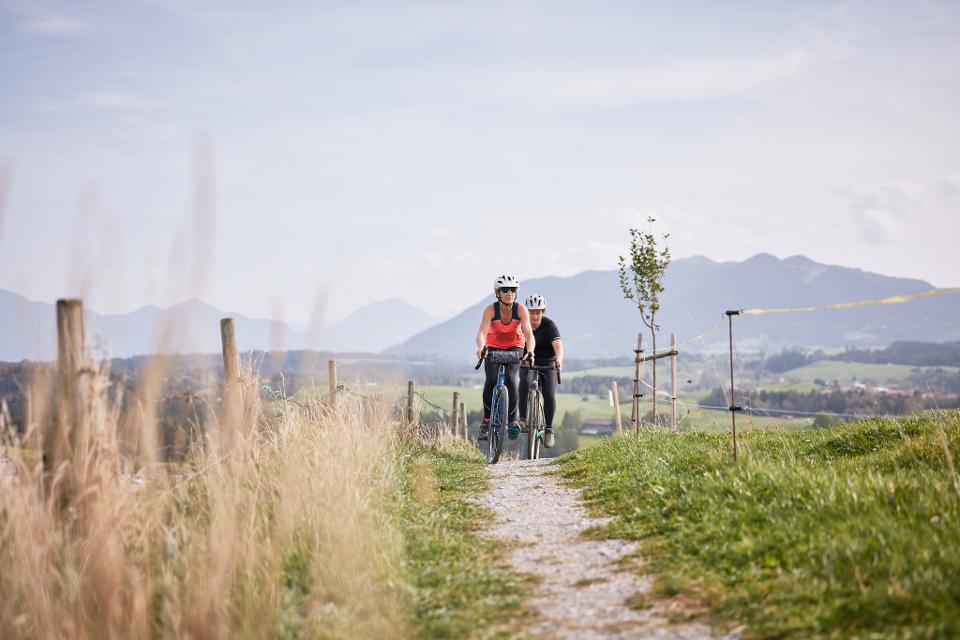
Pfaffenwinkel Radrundfahrt, 160 km
Wir verlassen Peiting in Richtung Schongau. Vorbei an Altenstadt, Sachsenried, Rettenbach, Bernbeuren und dem Auerberg erreicht man Lechbruck. Weiter geht es über Prem, die Wieskirche nach Rottenbuch. Im weiteren Verlauf führt die Route über Schöffau und den Staffelsee wieder Richtung Norden nach Weilheim. Weiter in östliche Richtung erreicht man den Zellsee, Forst und Herzogsägmühle wieder den Ausgangspunkt Peiting.
10:25 h 1235 hm 1241 hm 145,3 km sehr schwer

Pfaffenwinkel Radrundfahrt, 130 km
Von Peiting aus geht es über Herzogsägmühle nach Forst. Vorbei am Zellsee führt die Route über Weilheim, Marnbach, Übersöchering bis an den Staffelsee. Über Uffing, Schöffau und Böbing gelangt man Rottenbuch. Im weiteren Verlauf passiert man Morgenbach, die die Wieskirche, Prem und Lechbruck. Von dort führt die Route über Riesen - auf der östlichen Seite des Lechs wieder zurück nach Peiting.
9:15 h 989 hm 989 hm 128,4 km sehr schwer

Gravelbiken mit Zugspitzblick - Hoher Peißenberg und wilde Ammer (Weilheim-Schongau)
Auf dieser Gravelbike-Tour startest du in Weilheim, passierst die Erdefunkstelle Raisting, erklimmst den Hohen Peißenberg und entdeckst die idyllische Wilde Ammer bis nach Schongau.
4:50 h 824 hm 689 hm 66,9 km mittel
Gravelbiken mit Zugspitzblick - Tiefe Täler am Fuß der Zugspitze
Gravelbiken – Entdecke die Zugspitz Region auf zwei schenllen Reifen.
4:50 h 918 hm 839 hm 65,3 km mittel

Gravelbiken mit Zugspitzblick - zwischen Lech und Ammergebirge (Schongau-Oberammergau)
Auf dieser Gravelbike-Strecke startest du in Schongau, passierst den malerischen Lech mit seinen Staustufen und folgst dem König-Ludwig-Weg durch Hügel und Wälder. Von Altenau führt die Route entlang des Ammertals, durch das Pulvermoos bis ins charmante Oberammergau.
4:10 h 466 hm 288 hm 56,4 km mittel

Gravelbiken mit Zugspitzblick - Zwischen Lech und Murnauer Moos (Schongau-Murnau)
Starte deine Gravelbike-Tour in Schongau, passiere die Staustufen am Lech und genieße die abwechslungsreiche Natur bis nach Steingaden. Weiter geht es über das historische Königssträßle durch Altenau und Bad Kohlgrub, bis du schließlich die beeindruckende Weite des Murnauer Mooses erreichst.
4:45 h 569 hm 571 hm 69,4 km mittel
Alpenblick-Tour
Der Name ist Programm: Auf der ersten Hälfte dieser abwechslungsreichen Fahrt hat man stets die Alpenkette im Blick
5:20 h 770 hm 767 hm 96,5 km sehr schwer
Bayerische Wallfahrt
Wallfahren mit dem Rennrad? Warum nicht, auch wenn in diesem Fall die Wieskirche nicht das Endziel der Fahrt ist.
6:30 h 908 hm 907 hm 113,3 km mittel
Radpilgern durch Pfaffenwinkel und Zugspitz Region: Weitblicke - Vom Hohen Peißenberg zu spiegelnden Wassern
Diese Runde ist der Himmel. Ihm kommt man ganz nah auf dem Hohen Peißenberg mit seiner über 500 Jahre alten Wallfahrtskirche und einem der schönsten Rundblicke Bayerns.
7:00 h 931 hm 931 hm 94,9 km

Gravelbiken mit Zugspitzblick - vom Karwendel ins Murnauer Moos
Gravelbiken – Entdecke die Zugspitz Region auf zwei schenllen Reifen.
4:35 h 482 hm 709 hm 65,2 km mittel

Kapellenrunde
Die Tour führt auf ruhigen Wegen zu den schönsten Kapellen im Osten von Weilheim.
3:00 h 166 hm 166 hm 26,5 km mittel
Knappensteig
Der Knappensteig verbindet den ausgeschilderten Stollenweg mit einer Besteigung des Hohen Peißenbergs, dem Panoramaberg im Pfaffenwinkel schlechthin. Entlang des mit zahlreichen Informationstafeln ausgestatteten Lehrpfads erfahren Wanderer interessante Details zum Bergbau rund um Peißenberg. Bei klarer Sicht reicht der Blick vom Hohen Peißenberg von den Chiemgauer Alpen über das Ester- und Wettersteingebirge bis zu den Ammergauer und Allgäuer Alpen. Beschildert: Nr. Nr. 83, rot
5:15 h 681 hm 681 hm 17,6 km sehr schwer
Winterwanderung - Auf den Hohen Peißenberg
Der Wanderweg zum Hohen Peißenberg ist eine anspruchsvolle Tour mit vielen Höhenmetern. Wenn der Berggipfel erreicht ist, wartet eine Vielzahl an Sehenswürdigkeiten und ein herrlicher Rundumblick auf erkundungsfreudige Wanderer. Die Wallfahrtskirche, das Observatorium und der Fernsehturm sind nur einige der Attraktionen. Für junge Wanderer ist der Wetterlehrpfad eine spannende Reise in die Welt des Klimas. Beschildert: Nr. 77, blau
3:30 h 380 hm 380 hm 10,7 km mittel
Winterwanderung - Knappensteig
Der Knappensteig verbindet den ausgeschilderten Stollenweg mit einer Besteigung des Hohen Peißenbergs, dem Panoramaberg im Pfaffenwinkel schlechthin. Entlang des mit zahlreichen Informationstafeln ausgestatteten Lehrpfads erfahren Wanderer interessante Details zum Bergbau rund um Peißenberg. Bei klarer Sicht reicht der Blick vom Hohen Peißenberg von den Chiemgauer Alpen über das Ester- und Wettersteingebirge bis zu den Ammergauer und Allgäuer Alpen. Beschildert: Nr. Nr. 83, rot
5:15 h 533 hm 533 hm 17,6 km sehr schwer
Panorama-Runde Schlosspark
Der Name spricht Bände - neben den wunderbaren Ausblicken auf Forggensee, Lech, Schloss Neuschwanstein und die Tannheimer Berge locken entlang dieser Runde auch näherliegende Schönheiten wie die Wieskirche, Badespaß am Illasbergsee oder das Premer Filz. Hier gibt es für alle, die nicht nur gern radeln sondern auch wandern, einen Moorlehrpfad.
3:05 h 300 hm 299 hm 41,3 km mittel
Bergwetter-Weg
In exponierter Lage führt die Spazierrunde auf gut beschilderten Wegen zu den spannenden Sehenswürdigkeiten des Hohen Peißenbergs. Auf der Runde erwartet uns die älteste Bergwetterstation der Erde, eine Entdeckungsreise durch die Welt des Klimas und die Wallfahrtskirche Maria Himmelfahrt. Beschildert: Nr. 82, blau
1:30 h 196 hm 196 hm 4,8 km sehr leicht
Genussrundtour zur Wieskirche
Abwechslungsreiche Rundtour zur Wieskirche mit herrlichen Ausblicken
1:10 h 122 hm 117 hm 14,9 km mittel
Kirchen-Rundweg Iffeldorf
Das Ziel des kurzen Rundwegs ist die Wallfahrtskirche St. Maria im Heuwinkl. Die als Heuwinklkapelle bekannte Kirche liegt wunderschön auf einer Anhöhe östlich von Iffeldorf. Sie gilt als eine der schönsten Kapellen im gesamten bayerischen Oberland. Durch ihre exponierte Lage und ihren originellen runden Bau mit der großen roten Kuppel ist sie schon von Weitem sichtbar. Beschildert: Nr. 24, grün
0:45 h 39 hm 39 hm 2,8 km sehr leicht
Peitnachrunde
Die Tour führt von Peiting zum Kalvarienberg und an der Peitnach entlang. Eine malerische Runde mit Alpenblick und Sicht auf den Hohen Peißenberg. Vor allem für Familien mit Kindern ist der Walderlebnispfad auf dem Kalvarienberg ein spannendes Erlebnis. Beschildert: Nr. 100, grün
2:00 h 147 hm 149 hm 6,4 km mittel

Römer und Welfen am Lech - Peiting
Auf dem bergigen Rundweg zwischen Schongau und Peiting folgt ein Highlight dem anderen. Am Schlossberg und an der Villa Rustica wandeln Wanderer auf den Spuren von Römern und Welfen, auf dem Walderlebnispfad warten spannende Stationen zum Mitmachen auf große und kleine Besucher und dazwischen eröffnen sich immer wieder grandiose Blicke auf die Alpenkette und den türkis leuchtenden Lech.
4:00 h 359 hm 359 hm 13,7 km mittel
Stadt- und Waldrunde
Die ausgedehnte Stadt- und Waldrunde in und um Penzberg wartet mit abgelegenen Aussichtspunkten, traumhaften Gewässen und weitläufigen Filzgebieten in Stadtnähe auf. Im Erholungsgebiet Berghalde wandert man auf den Spuren des Bergbaus und erfährt Wissenswertes zur Geschichte der Stadt Penzberg. Für junge Wanderer ist das Freizeitgebiet Gut Hub eine spannende Abwechslung. Beschildert: Nr. 1, rot
4:45 h 225 hm 225 hm 18,2 km mittel
Wald- und Weiherschleife
Die ausgedehnte Wald- und Weiherschleife, verläuft auf abwechslungsreichen Wegen mit vielen Sehenswürdigkeiten um Penzberg, die Stadt der 74 Nationen. Die Wanderung führt an landschaftlich reizvollen Plätzen vorbei, an romantischen Seen entlang und zu historischen Baudenkmälern. Auf dieser Runde präsentiert sich der Pfaffenwinkel von seiner schönsten Seite. Beschildert: Nr. 2, rot
4:30 h 242 hm 242 hm 16,4 km mittel