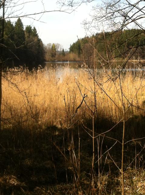


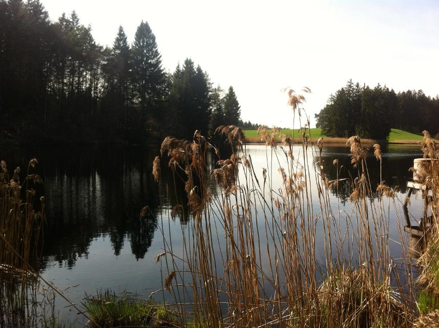
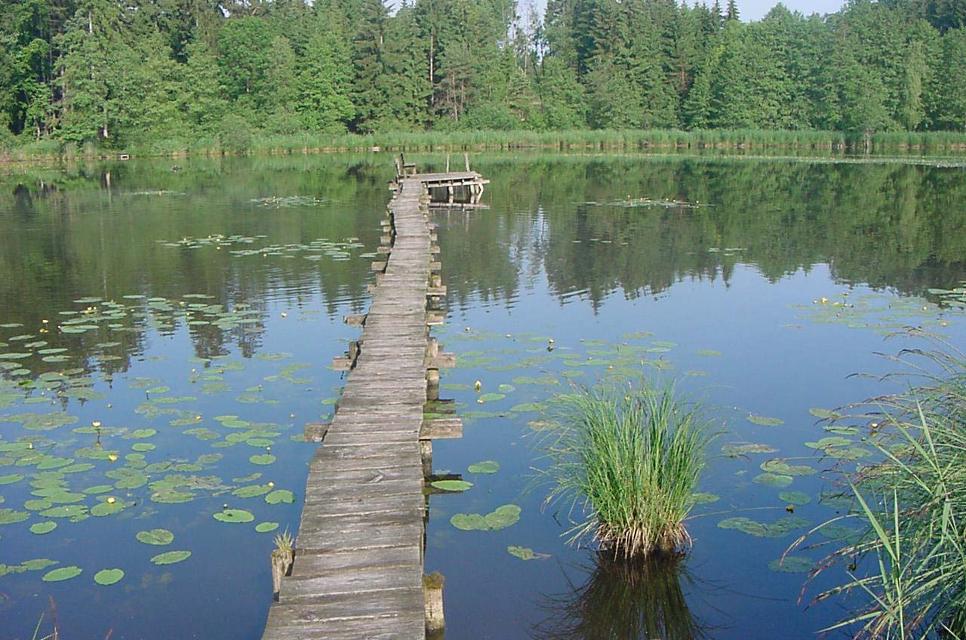
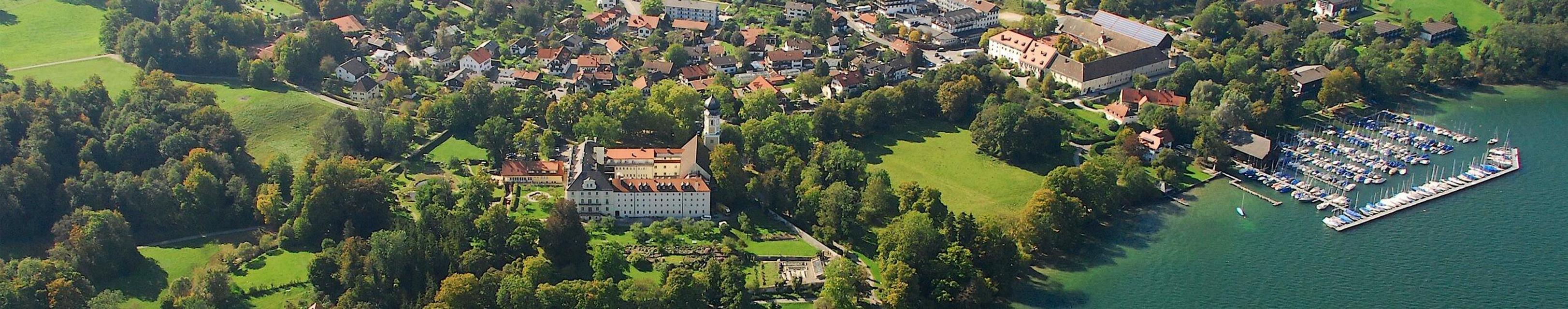
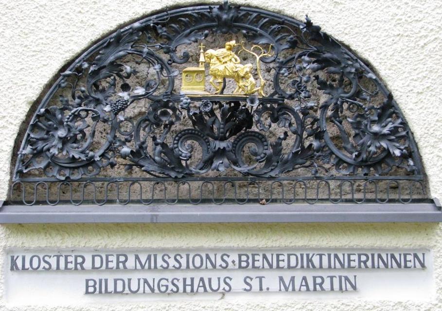
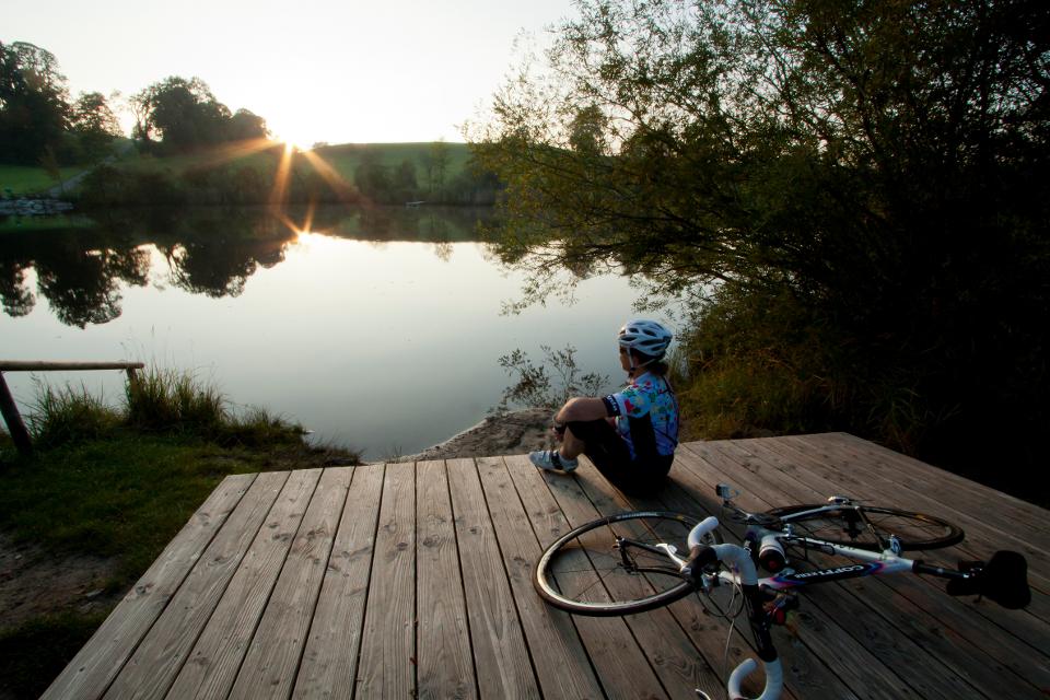
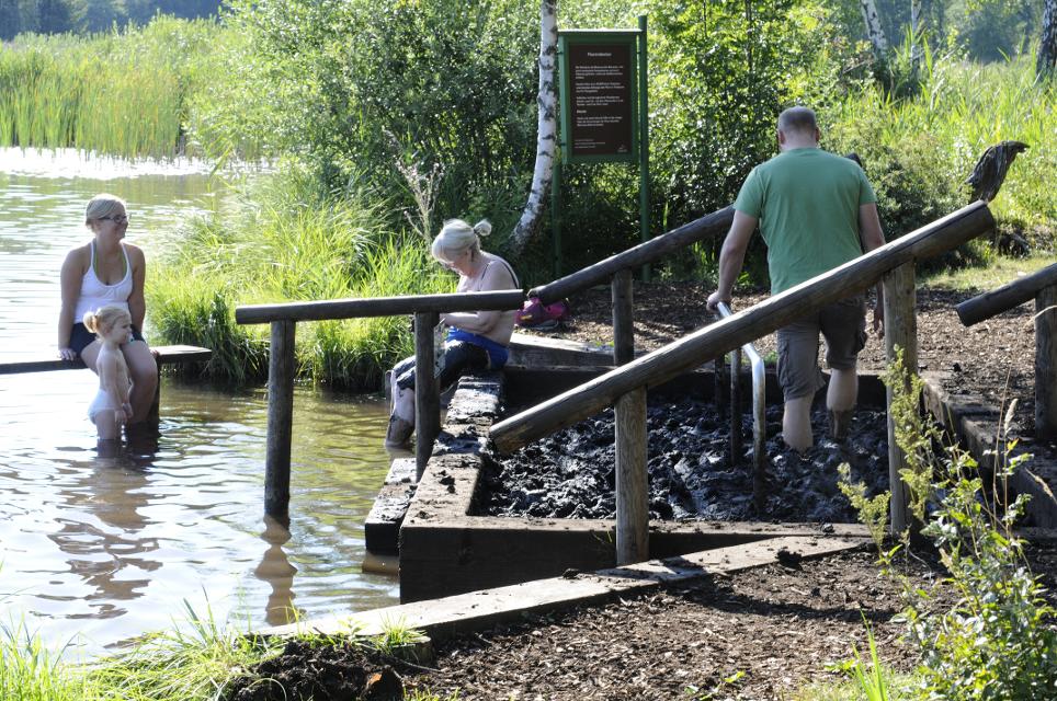
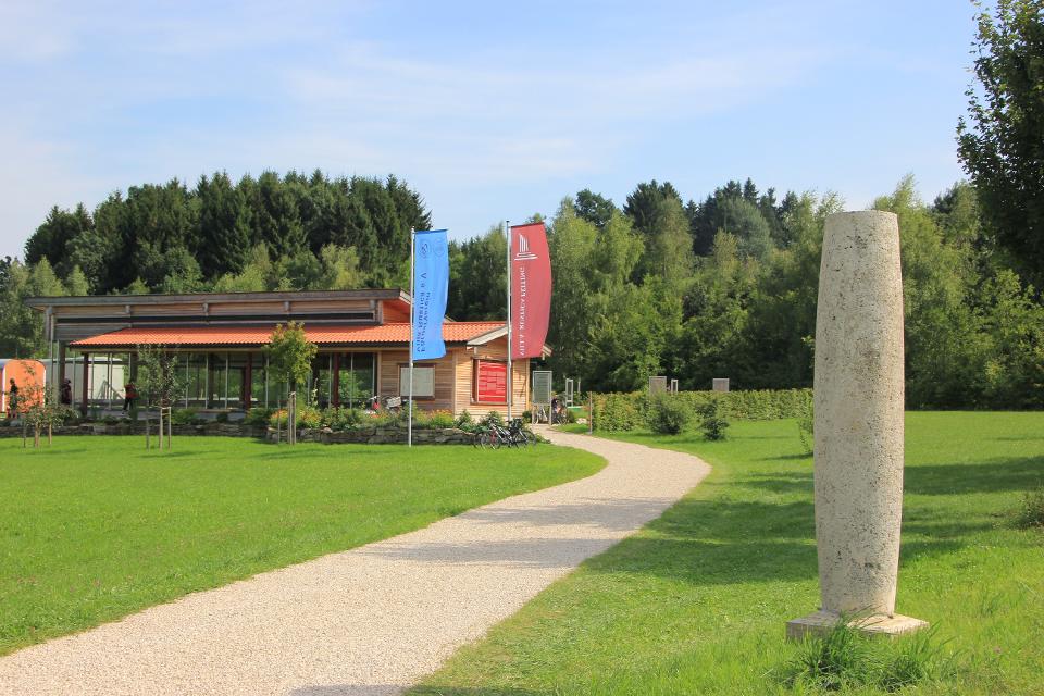
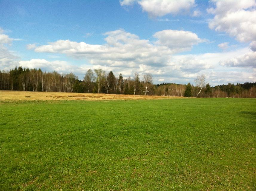
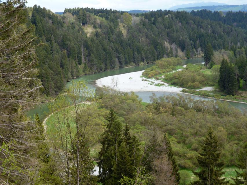
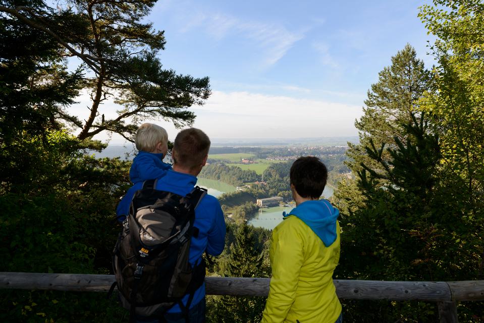
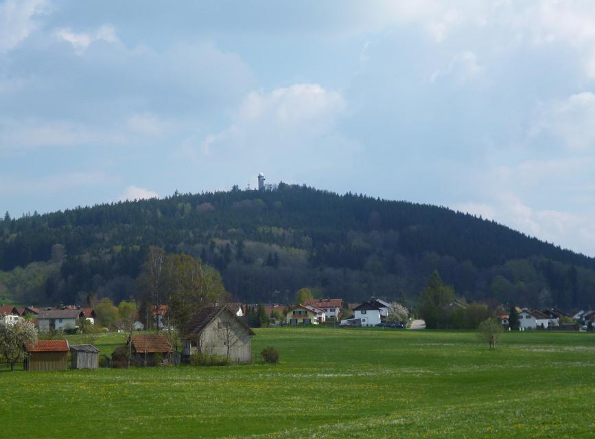
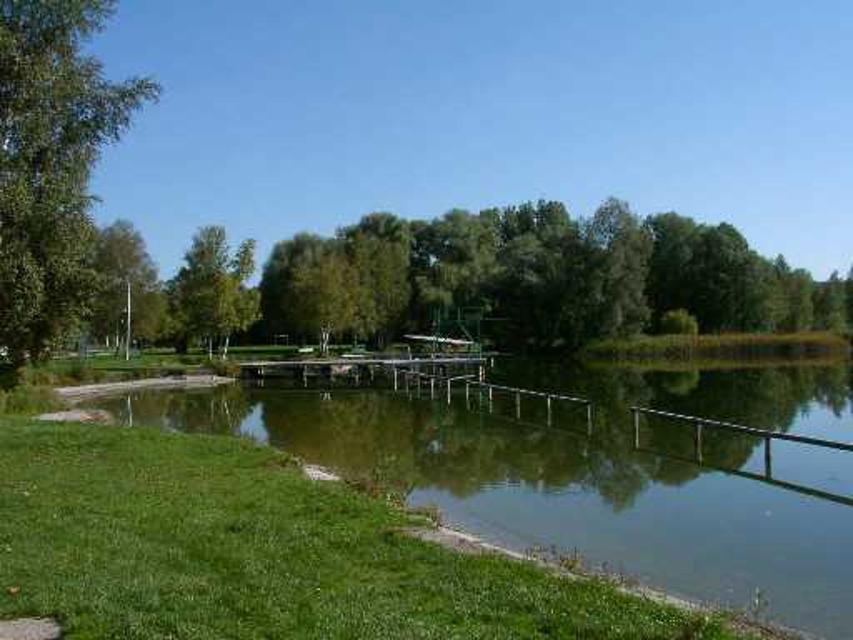
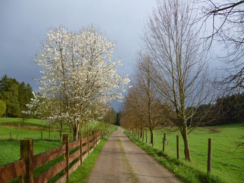
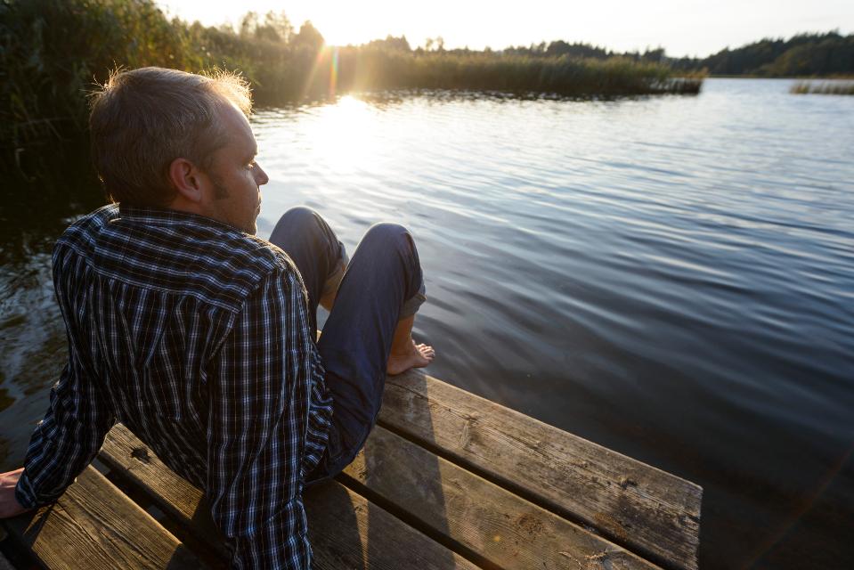
Der Klosterweiherweg ist eine ausgedehnte und idyllische Runde in der typischen Moränenlandschaft um Bernried. Die fünf Weiher, die dieser Weg verbindet. entstanden in einer wirtschaftlichen Verbindung zu dem früheren Kloster der Augustinerchorherren und sind heute schöne Orte der Meditation.
-
Aufstieg: 139 hm
-
Abstieg: 144 hm
-
Länge der Tour: 13,3 km
-
Höchster Punkt: 645 m
-
Differenz: 61 hm
-
Niedrigster Punkt: 584 m
Schwierigkeit
mittel
Kondition
mittel
Panoramablick
viel
Saisonale Eignung
-
JAN
-
FEB
-
MRZ
-
APR
-
MAI
-
JUN
-
JUL
-
AUG
-
SEP
-
OKT
-
NOV
-
DEZ
Merkmale Touren
Aussichtsreich
Geologische Highlights
Rundweg
Botanische Highlights
Parkplatz an der Luitpoldlinde (P1), weitere Parkplätze siehe örtliches Parkleitsystem
Mit öffentlichen Verkehrsmitteln: Bahnhof Bernried an der Bahnlinie München - Tutzing - Kochel und Haltepunkt der Staatlichen Schifffahrt am Starnberger See.
Wenn Sie mit der Bahn anreisen: Nach Verlassen des Bahnhofsgebäudes verfolgen Sie linkerhand die Bahnofstraße Richtung Norden. Die Bahnhofstraße mündet nach ca 100 Metern in einer Rechtskurve in die Wettersteinstraße. Auf dieser Straße weitergehen, bis diese nach ca 100 Metern auf die Karwendelstraße trifft. Dort bitte links Richtung Norden abbiegen und circa 250 Meter weiterlaufen, bis die Karwendelstraße auf die Weilheimer Straße trifft. Dort bitte nach Rechts abbiegen und gleich nach ca 20 Metern wieder links in den Höhenrireder Weg einbiegen. Dort treffen Sie nach ca 20 Metern auf den Klosterweiher-Weg, welcher sich in Richtung Norden fortsetzt. Ab hier bitte der Beschilderung folgen.
Wenn Sie mit dem Schiff anreisen: Nach der Anlegestelle direkt geradeaus den leicht ansteigenden Weg laufen, entlang an der Klostermauer. Nach ca 150 Metern biegen Sie rechts in die Allee ein. Nun befinden Sie sich auf dem Klosterweiher-Weg. Ab hier der Beschilderung folgen.
Nähere Informationen zur Werdenfelsbahn der Deutschen Bahn finden Sie hier.
Startpunkt: Parkplatz an der Luitpoldlinde (P1)
Ziel: Parkplatz an der Luitpoldlinde (P1)
Navigieren zu


Hier befindet sich auch


Essen in der Nähe
"Essen in der Nähe" überspringen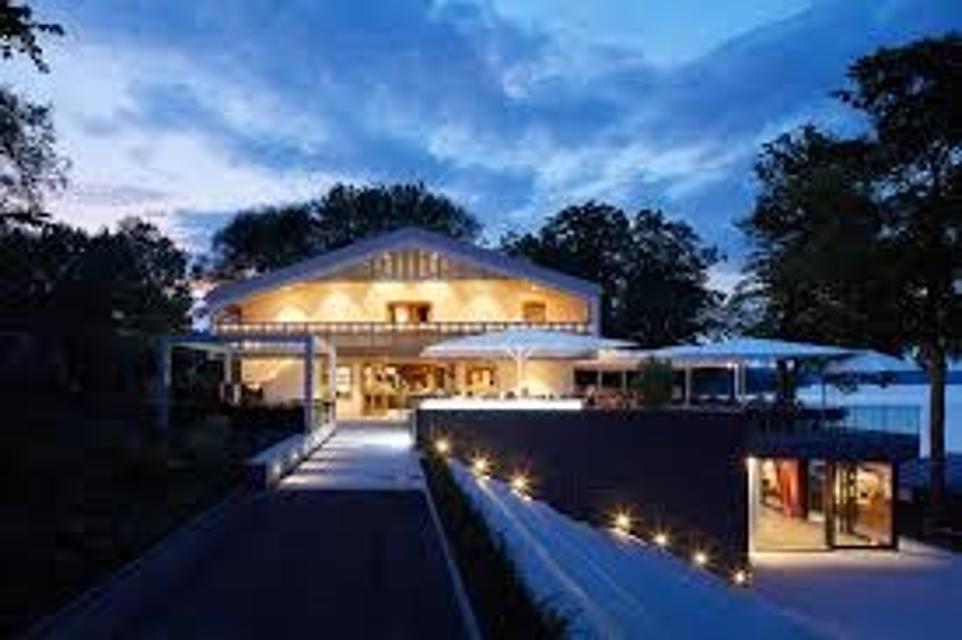
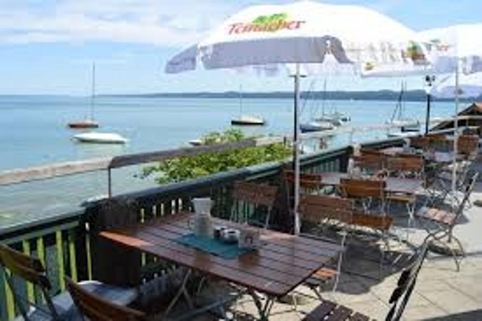
ca. 4,9 km entfernt
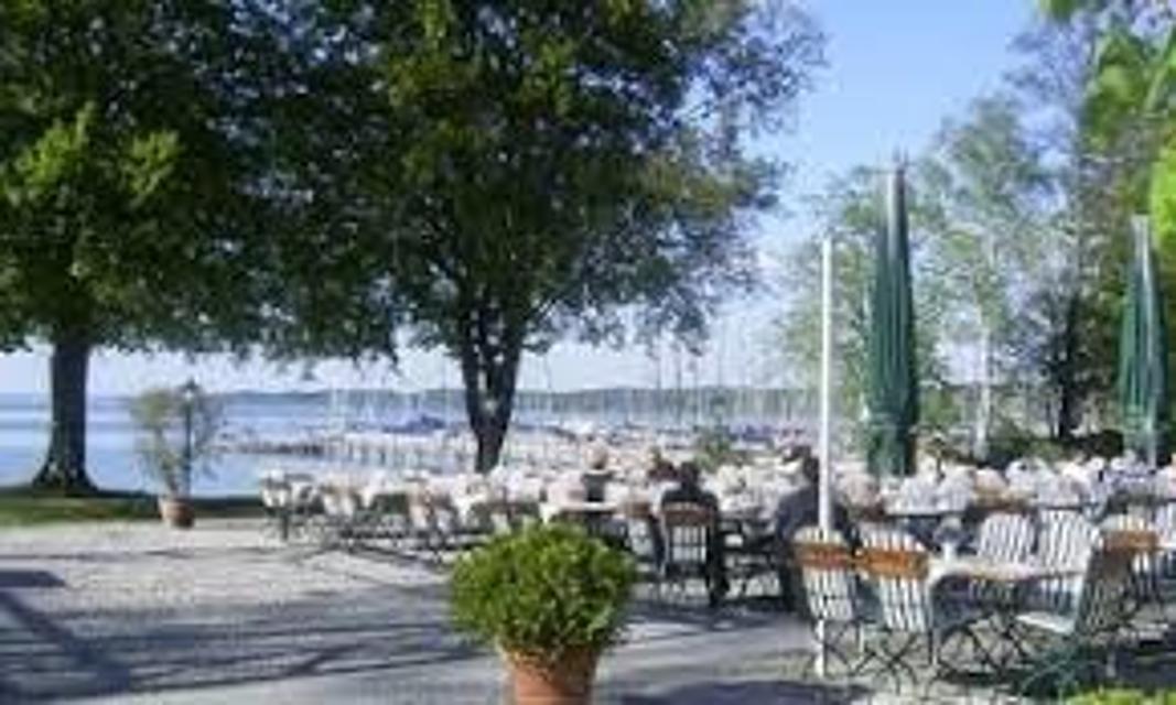
Café in der alten Metzgerei mit Tourist Info
Hauptstraße 4, 82402 Seeshaupt
Authentisch. Regional. Gemütlich. Im Einfachen steckt das Gute! Auf Euch wartet ein ausgezeichnetes Sauerteigbrot, Kaffee, Kuchen, bunte Getränke und kleine Gerichte zum Frühstück und Mittagessen. Selbst gebacken, mild geröstet, frisch gekocht und mit Liebe ausgesucht. Wir laden Euch ein von früh bis zum späten Nachmittag Kunst und Kulinarik bei uns zu genießen. Gerne auch zum Mitnehmen. Außerdem beraten wir Euch gerne über aktuelle Angebote und Unterkünfte in und um Seeshaupt. Schaut vorbei, wir freuen uns!
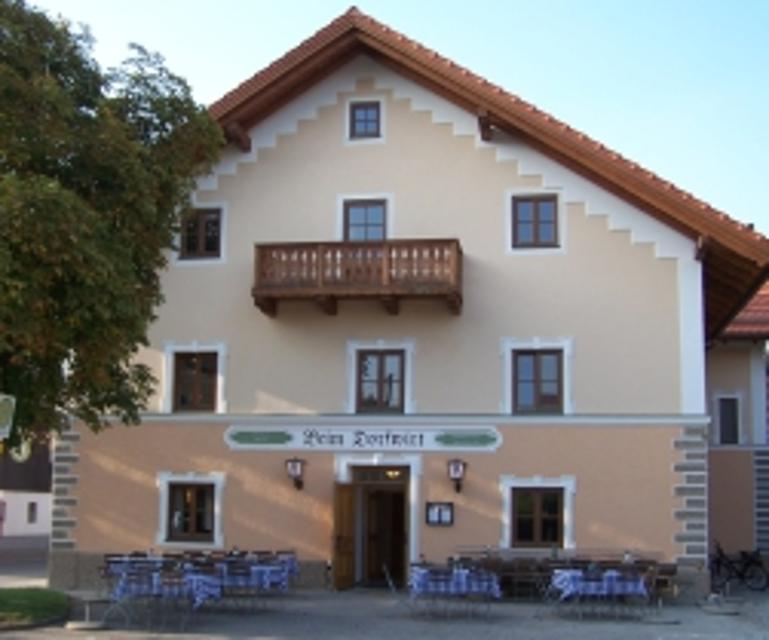
ca. 7,4 km entfernt
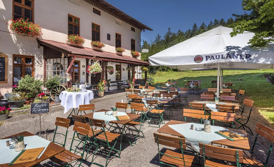
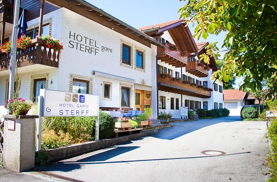
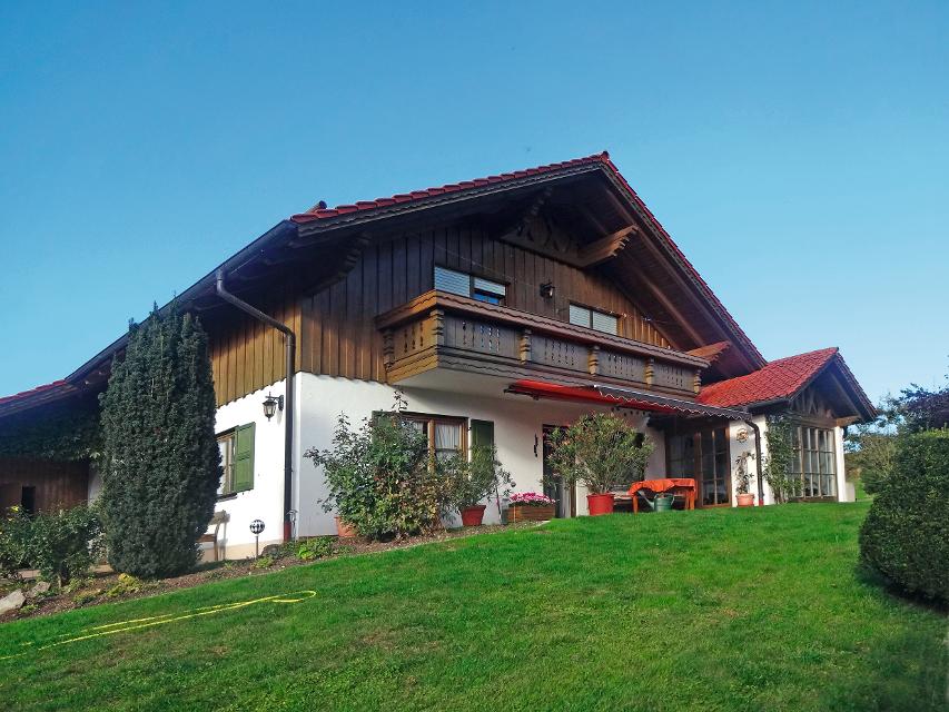
Schlossgaststätte Hohenberg
Hohenberg 3, 82402 Seeshaupt
Grüß Gott und Herzlich Willkommen in der Schlossgaststätte Hohenberg!


ca. 9,9 km entfernt
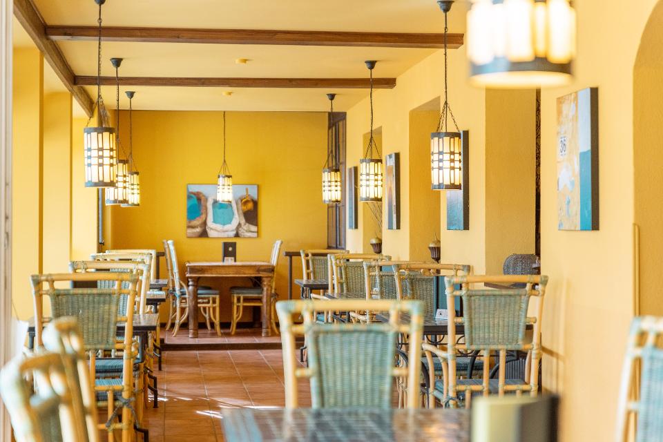
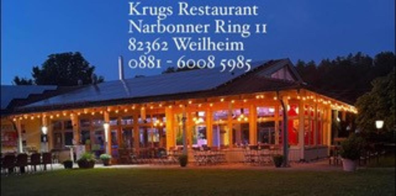
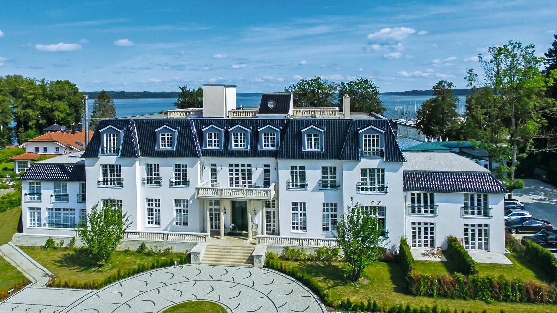
Krug’s Restaurant
Narbonner Ring 11, 82362 Weilheim
Krug’s Restaurant ist ein Novum in Weilheim und der gesamten Umgebung. Selbst verwöhnte Feinschmecker und hungrige Wanderer zieht es ins Krug’s Restaurant, denn die abwechslungsreiche Speisekarte, welche sich Saisonal ändert, findet großen Anklang.
Unterkünfte in der Nähe
"Unterkünfte in der Nähe" überspringen
ca. 5,8 km entfernt
Camping Seeshaupt am Starnberger See
St. Heinrich Sraße 127, 82402 Seeshaupt
Wir freuen uns, Ihnen unseren von Grund auf neu gestalteten und konzipierten Campingplatz mit eigenem Seezugang direkt am Starnberger See vor den Toren Münchens vorstellen zu dürfen! Verbringen Sie Ihren Urlaub bei uns im oberbayrischen Voralpenland, entdecken Sie die vielfältigen Freizeitmöglichkeiten von Sport bis Sightseeing – bei uns kommen Groß und Klein, Jung und Alt, Sportler und Naturliebhaber voll auf Ihre Kosten!
Weitere Tipps in der Nähe
"Weitere Tipps in der Nähe" überspringen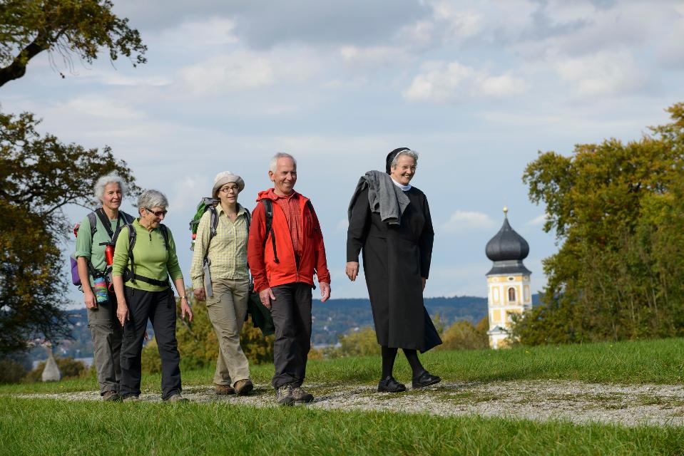
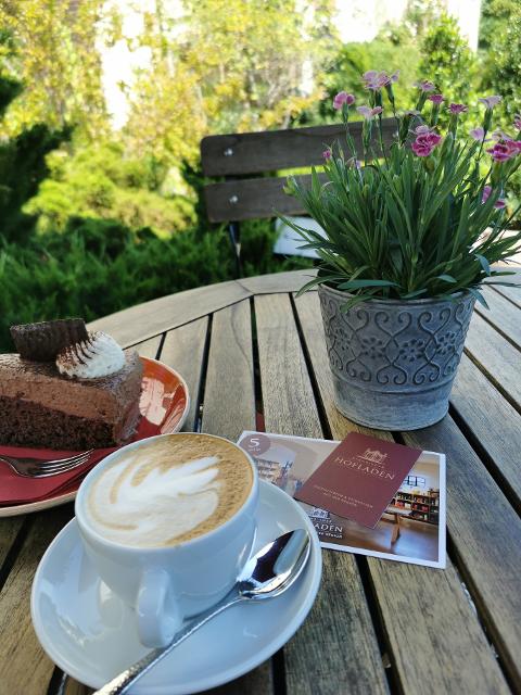
ca. 0,1 km entfernt
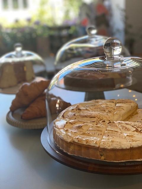
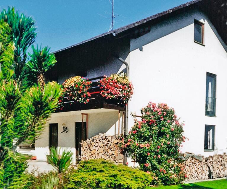
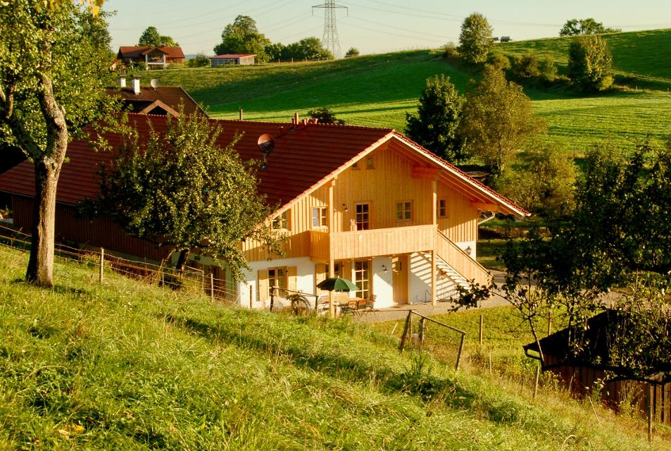
Bernrieder Hofladen
Tutzinger Straße 12d, 82347 Bernried
Inmitten des reizvollen Ortes Bernried lädt der exklusive Hofladen Bernried mit seinem herrlichen Ambiente und erlesenen Produkten nicht nur zum einkaufen sondern mit seinen selbst gebackenen Kuchen und feinstem Dinzler-Kaffee zum Verweilen und genießen ein.

ca. 0,4 km entfernt
Etappe 3, Ostschleife, Heilige Landschaft Pfaffenwinkel - Von Bernried nach Penzberg-Promberg
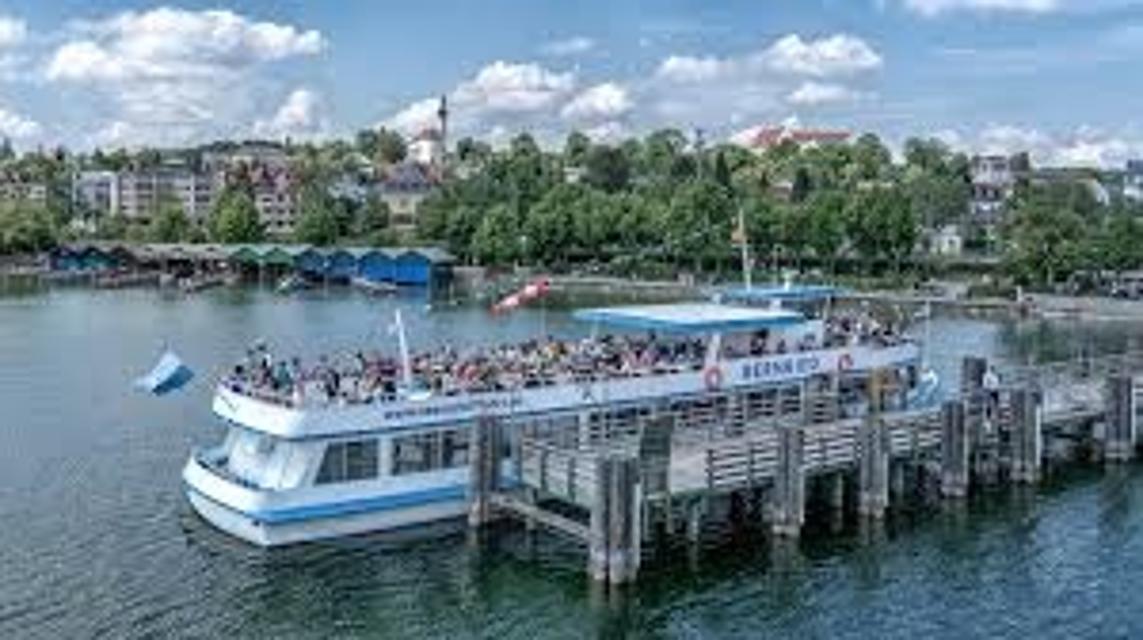
Die dritte Etappe der Ostschleife des Fernwanderwegs Heilige Landschaft Pfaffenwinkel führt uns von Bernried nach Promberg bei Penzberg. Das Highlight dieser Etappe ist der Weg entlang des Starnberger Sees. Wir genießen einen grandiosen Weitblick auf den See und das Alpenmassiv.
3:45 h 122 hm 98 hm 14,3 km mittel
ca. 0,4 km entfernt
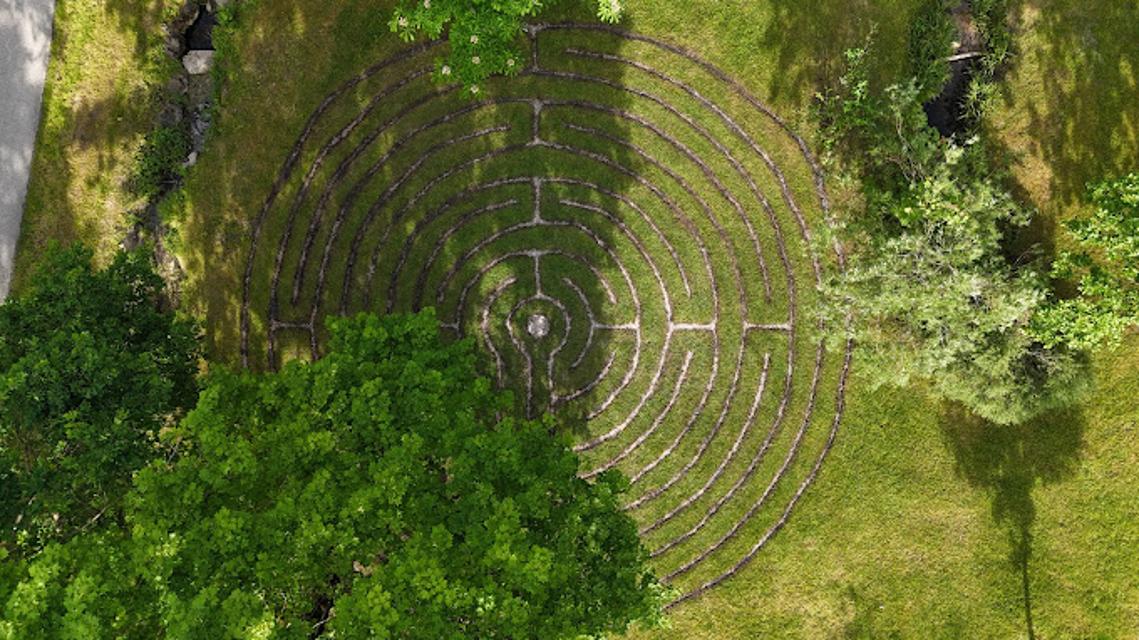
Labyrinth Bernrieder Park (Impulsstation Heilige Landschaft Pfaffenwinkel)
Das Labyrinth im Bernrieder Park ist eine faszinierende Gartenanlage, die Besucher zu einem meditativen Spaziergang einlädt. Seine verschlungenen Pfade führen durch sorgfältig gestaltete Grünflächen und bieten eine Reise zur inneren Mitte. Dieses einzigartige Landschaftselement verbindet Natur und Spiritualität auf harmonische Weise und lädt zum Innehalten und Reflektieren ein.
Das könnte Dir auch gefallen
"Das könnte Dir auch gefallen" überspringen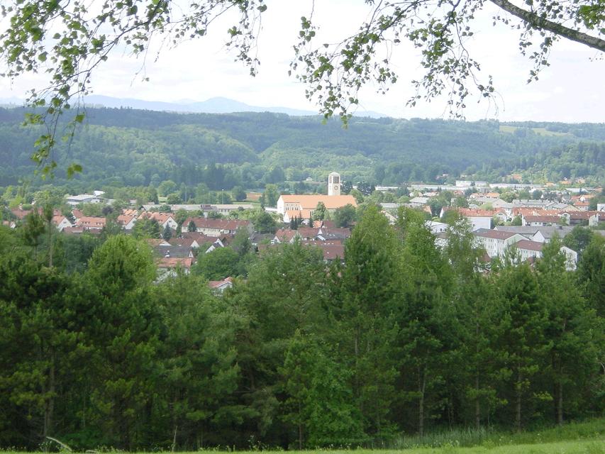
Eibenwaldrunde
Die gemütliche Tour führt westlich von Weilheim bis zum Paterzeller Eibenwald und über Zellsee wieder zurück.
2:30 h 134 hm 134 hm 24,0 km mittel
Auerbergland@venture-Route
Die Erlebnis-Radrunde zu Kultur und Natur um den Auerberg.
9:20 h 1047 hm 997 hm 128,0 km sehr schwer
2-Seen-Tour - Staffelsee-Lechsee
Der Staffelsee hat beim Kampf um den Rang des schönsten Voralpensees gute Chancen auf einen Spitzenplatz.
5:30 h 872 hm 840 hm 95,9 km mittel
Moor- und Drumlinrunde Eberfing
Die ausgedehnte Spazierrunde bei Stadel ist eine Runde durch die weitläufigen Filzgebiete und romantische Wälder im bayerischen Oberland nahe des Starnberger Sees. Auf der Rundwanderung darf man die sanfte Hügellandschaft im malerischen Voralpenland kenne lernen. Der Stadler Weiher ist das Highlight der Tour und einen Abstecher für einen Sprung in das kühle Nass wert. Beschildert: T16, blau
2:30 h 60 hm 58 hm 8,2 km mittel
Schnalz-Panoramaweg Peiting
Abwechslung und Spannung ist auf dem ausgedehnten Rundweg garantiert. Zwischen saftig grünen Wiesen und schattigen Wäldern führt er bis an die wildromantische Ammer hinunter, wo mit dem Ammerlauf-Lehrpfad noch eine informative Extra-Runde gedreht wird. Auf dem Weg in Richtung Schnalz-Gipfel stellen die unzähligen Stufen einen echten Konditionstest dar. ‘Beschildert: Nr. 101, blau
3:30 h 412 hm 412 hm 10,2 km mittel
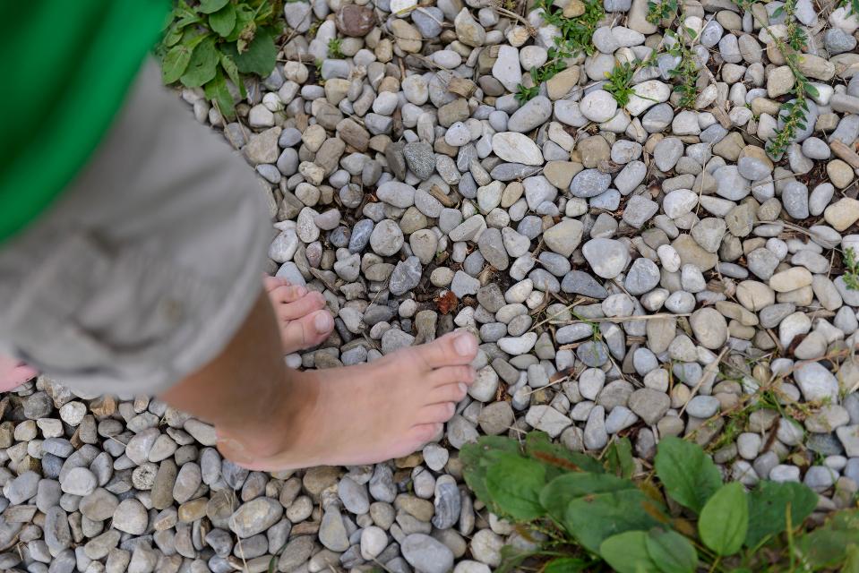
Kleine Moorrunde und Barfußpfad Bad Bayersoien
Der Moor- und Seelehrpfad Bad Bayersoien umfasst die „Kleine Moorrunde“ am Ostufer des Soier Sees mit etwa 1 km Wegstrecke und vielen Infos rund ums Moor und den reizvollen „Barfußpfad“ rund um den See mit etwa 1,8 km.
0:52 h 9 hm 9 hm 3,5 km sehr leicht
Alpenblick-Tour
Der Name ist Programm: Auf der ersten Hälfte dieser abwechslungsreichen Fahrt hat man stets die Alpenkette im Blick
5:20 h 770 hm 767 hm 96,5 km sehr schwer
Bayerische Wallfahrt
Wallfahren mit dem Rennrad? Warum nicht, auch wenn in diesem Fall die Wieskirche nicht das Endziel der Fahrt ist.
6:30 h 908 hm 907 hm 113,3 km mittel
Pfaffenwinkel-Panorama-Tour
Mit 988 Metern Höhe markiert der Hohe Peißenberg den schönsten Aussichtspunkt im Pfaffenwinkel.
6:55 h 1386 hm 1386 hm 123,0 km sehr schwer
Römer und Welfen am Lech - Peiting
Auf dem bergigen Rundweg zwischen Schongau und Peiting folgt ein Highlight dem anderen. Am Schlossberg und an der Villa Rustica wandeln Wanderer auf den Spuren von Römern und Welfen, auf dem Walderlebnispfad warten spannende Stationen zum Mitmachen auf große und kleine Besucher und dazwischen eröffnen sich immer wieder grandiose Blicke auf die Alpenkette und den türkis leuchtenden Lech.
4:00 h 359 hm 359 hm 13,7 km mittel
Höllfilzweg
Die Gemeinde Antdorf in Oberbayern besticht mit ihrer traumhaften Lage nahe der Osterseen und unweit von Penzberg. Wenig frequentierte Wanderwege und Wiesenpfade sorgen auf dem gemütlichen Spazierweg für Erholung in der pfaffenwinkler Landschaft. Grüne Sommerwiesen vor einem prächtigen Alpenpanorama, historische Kirchen und eine kleine Kapelle versprechen Wandervergnügen im Voralpenland. Beschildert: Nr. 7, blau
2:15 h 85 hm 85 hm 8,4 km mittel
Kultur - Ammerschlucht
Die Tour führt über Stufen, Stege und Brücken durch die ungebändigte Ammerschlucht und durch wildromantische Mischwälder. Der Weg entlang der Schlucht und der Pfad an der Reitnerbachklamm fordern die Trittsicherheit der Wanderer. Die zum Teil herausfordernden Wege werden mit außergewöhnlichen Ausblicken belohnt. Beschildert: Nr. 88, rot
6:00 h 211 hm 211 hm 21,1 km mittel
Naturwunder-Tour
Über grüne Wiesen, flache Hügel und ruhige Wälder zum Naturschutzgebiet Litzauer Schleife. Hier ist Lech nahezu unberührt und bietet vielen Pflanzen und Tieren einen einzigartigen Lebensraum. Atemberaubende Aussichten inklusive. Beschildert: B2, grün
2:05 h 59 hm 59 hm 8,1 km sehr leicht
St. Nikolaus-Weg
Der St. Nikolaus-Weg ist eine romantische Wanderung durch die ausgedehnten Wälder um Kreilhof, St. Nikolaus und Achberg. Die Wege an der Ach und der Eyach entlang sorgen mit wenigen Höhenmetern für Erholung und Natur pur. An mehreren Aussichtspunkten kann man einen herrlichen Weitblick auf die Alpenkette und den Hohen Peißenberg genießen. Beschildert: Nr. 67, grün
2:30 h 129 hm 129 hm 10,8 km mittel
4-Flüsse-Tour - Ammer, Lech, Loisach, Isar (2 Tage)
9:25 h 1600 hm 1216 hm 162,8 km mittel
Römer und Welfen am Lech
Der ausgedehnte Rundweg folgt den Spuren von Römern und Welfen am Lech. Über den Schlossberg, wo einst die Welfenburg stand und vorbei an der Villa Rustica, einem antiken Badehaus der Römer, führt der Weg durch das Lechgebiet zwischen Schongau und Peiting. Unterwegs kommen Wanderer immer wieder in den Genuss eines grandiosen Bergpanoramas und beeindruckenden Ausblicken auf den türkis leuchtenden Fluss.
3:45 h 347 hm 347 hm 13,7 km mittel
Schwarzlaichmoor
Bei einem gemütlichen Spaziergang wird das Naturschutzgebiet Schwarzlaichmoor östlich von Hetten einmal komplett umrundet. Vom Weg aus bieten sich immer wieder wunderschöne Ausblicke über die weitläufige Moorlandschaft hinweg zum Hohen Peißenberg mit der Wetterstation und der Wallfahrtskirche Mariä Himmelfahrt.
1:30 h 67 hm 67 hm 5,9 km sehr leicht
Hardtrunde (lang)
Die ausgedehnte Runde führt über weite Strecken durch die einzigartige Hardtlandschaft mit Hoch- und Niedermooren, Magerrasen- und Streuwiesengebieten sowie weitläufigen Wäldern. Auf dem landschaftlich äußerst reizvollen Weg über kaum befahrene Sträßchen und ruhige Forstwege genießen Spaziergänger immer wieder traumhafte Ausblicke auf die Alpenkette. Beschildert: Nr. 44, rot
2:30 h 109 hm 109 hm 9,6 km mittel
Hardtrunde (mittel)
Die landschaftlich reizvolle Hardtrunde führt in ihrem östlichen Teil durch die wunderschöne, äußerst vielfältige Hardtlandschaft. Saftig grüne Wiesen wechseln sich immer wieder mit weitläufigen Wald- und Moorgebieten ab. Im Gegensatz dazu ist der westliche Teil der Runde geprägt durch die weiten, häufig landwirtschaftlich genutzten Felder und Wiesen rund um den Dietlhofer See, der sich im Sommer hervorragend zum Baden eignet. Beschildert: Nr. 43, blau
2:00 h 88 hm 88 hm 7,1 km sehr leicht
Rundweg um den Fohnsee
Inmitten des Naturschutzgebiets Osterseen bietet der Rundweg um den Fohnsee ein einzigartiges Naturerlebnis. Spaziergänger genießen immer wieder traumhafte Blicke über die weitläufige Seenlandschaft. Zahlreiche idyllische Plätze am Ufer des Fohnsees und des Großen Ostersees locken zum Verweilen. Beschildert: Nr. 23, grün
1:15 h 41 hm 41 hm 4,9 km sehr leicht
Stadt- und Lechgeschichten
Wissenswerte Geschichten ranken sich um die historische Altstadt Schongaus. Zuerst erleben wir jedoch romantische Wanderwege, ehe wir die Altstadt mit dem gotischen Ballenhaus, der barocken Stadtpfarrkirche Mariae Himmelfahrt und der begehbaren Stadtmauer entdecken.
3:45 h 276 hm 276 hm 13,9 km mittel
Stein-Erlebnisweg
Der Stein-Erlebnisweg steht ganz im Zeichen des Tuffstein- und Kiesabbaus rund um Huglfing. Vorbei an stillgelegten sowie noch heute genutzten Kiesgruben führt die ausgedehnte Runde durch die sanfte Hügellandschaft südlich und östlich der oberbayerischen Gemeinde. Beschildert: T62, rot
3:30 h 198 hm 198 hm 14,8 km mittel
Winterwanderung - Stadt- und Lechgeschichten
Wissenswerte Geschichten ranken sich um die historische Altstadt Schongaus. Zuerst erleben wir jedoch romantische Wanderwege, ehe wir die Altstadt mit dem gotischen Ballenhaus, der barocken Stadtpfarrkirche Mariae Himmelfahrt und der begehbaren Stadtmauer entdecken.
3:45 h 114 hm 114 hm 13,9 km mittel
Ostschleife "Spiegelnde Wasser" - Heilige Landschaft Pfaffenwinkel
Drei Mehrtageswanderungen führen durch die schönsten Ecken des oberbayerischen Pfaffenwinkels, dessen Kultur über Jahrhunderte durch zahlreiche Klöster geprägt wurde. Die ruhigen Wanderwege verbinden Kirchen, Klöster und Kraftorte in der Natur. Die drei Pilgerwege starten und enden am Hohen Peißenberg, der einen Rundblick über die gesamte Region bietet und als bedeutender Wallfahrtsort dafür prädestiniert ist. Auf der Ostschleife mit dem Thema „spiegelnde Wasser“ führen 8 Tagesetappen mit einer Gesamtlänge von 139 km zu den bedeutenden Klosterorten Polling, Bernried und Benediktbeuern. Landschaftlich geprägt ist die Route vom Starnberger See und den Osterseen sowie den unzähligen Seen und Weihern am Weg, in denen man sich und sein Leben spiegeln kann.
40:00 h 1388 hm 1388 hm 139,4 km sehr schwer