Besonders geeignet für:

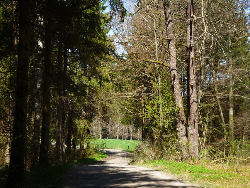

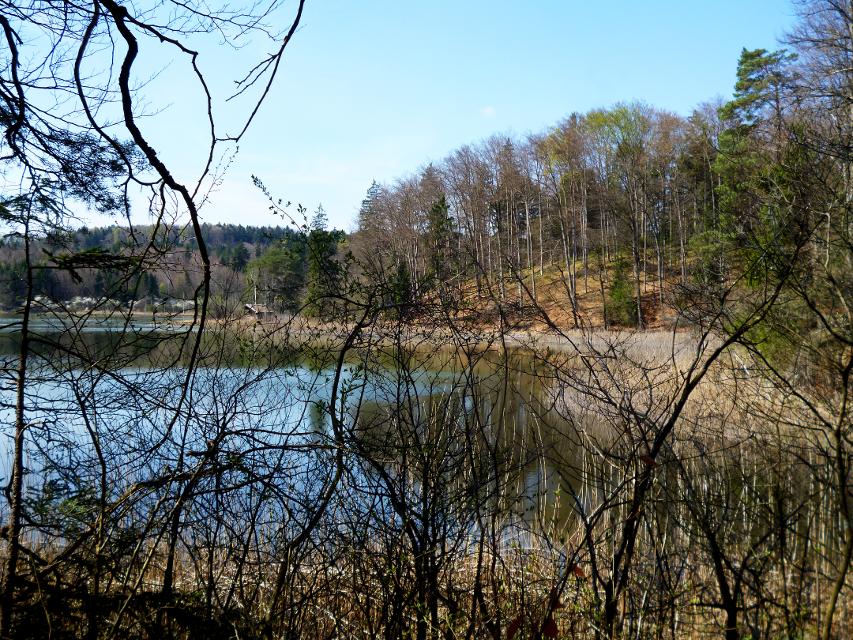


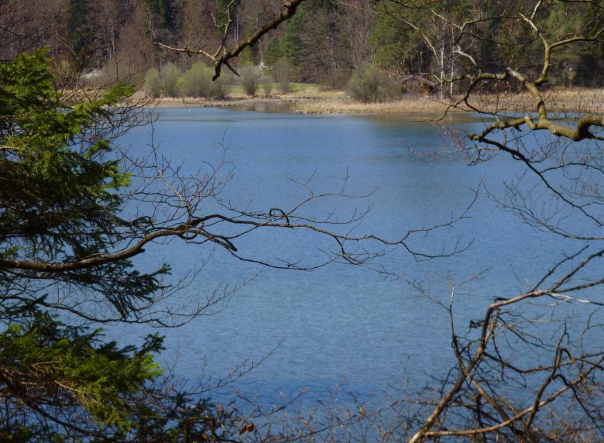

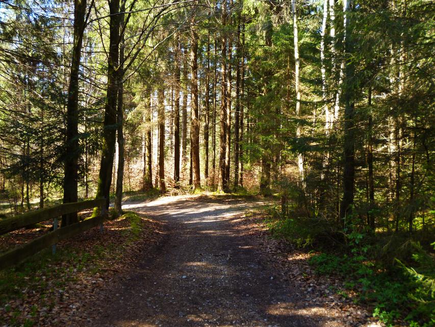


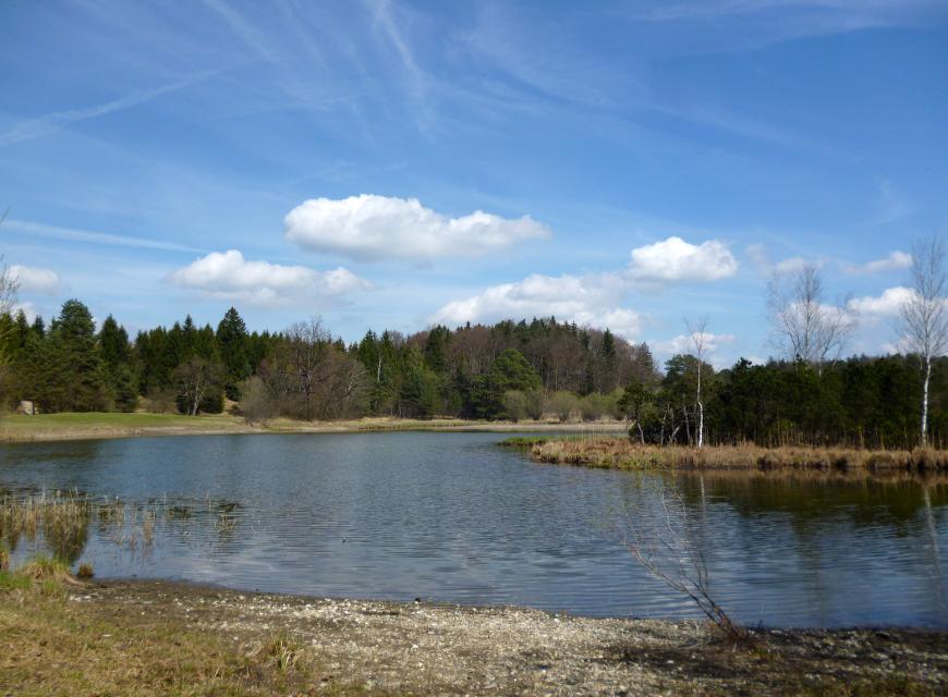
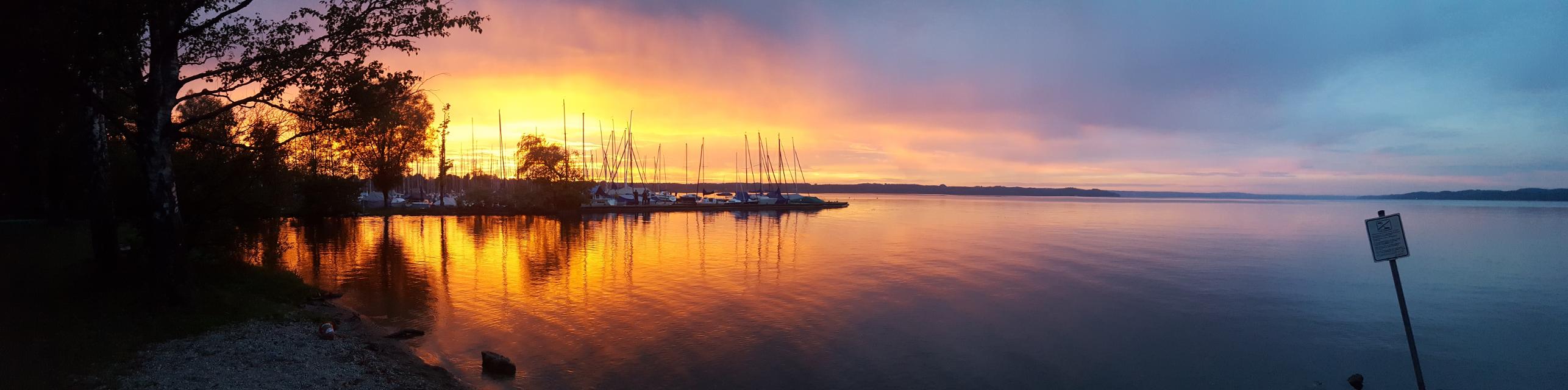
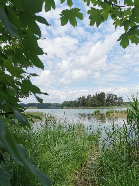
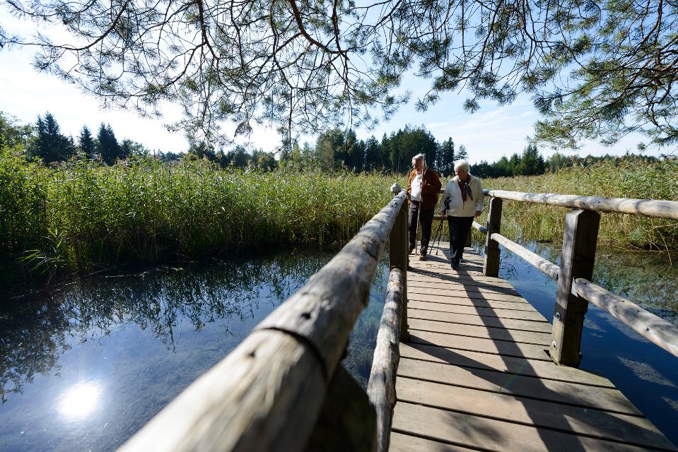
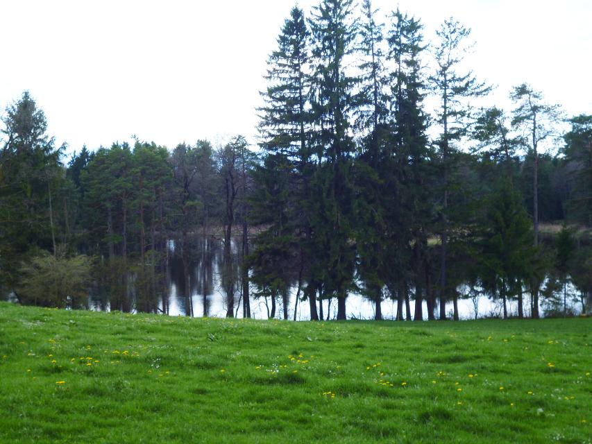
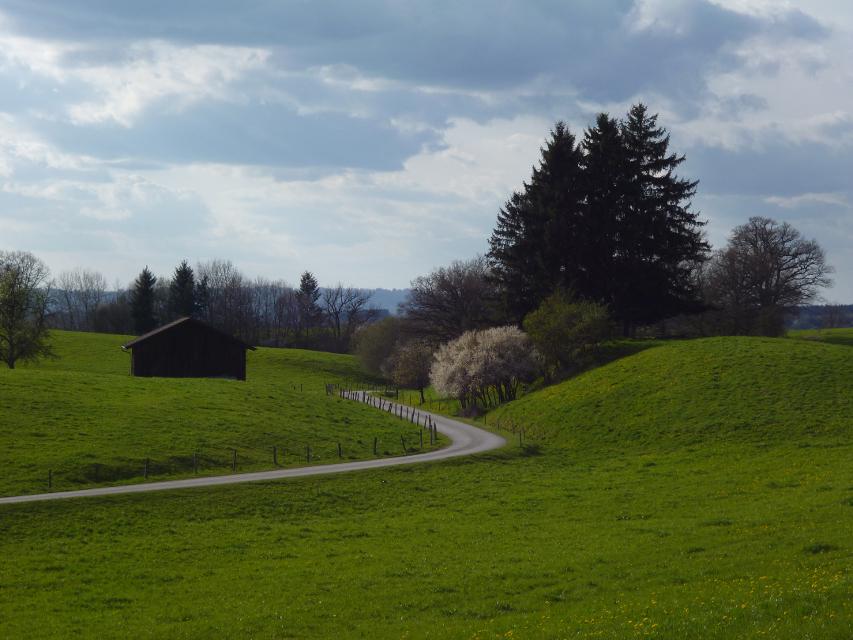
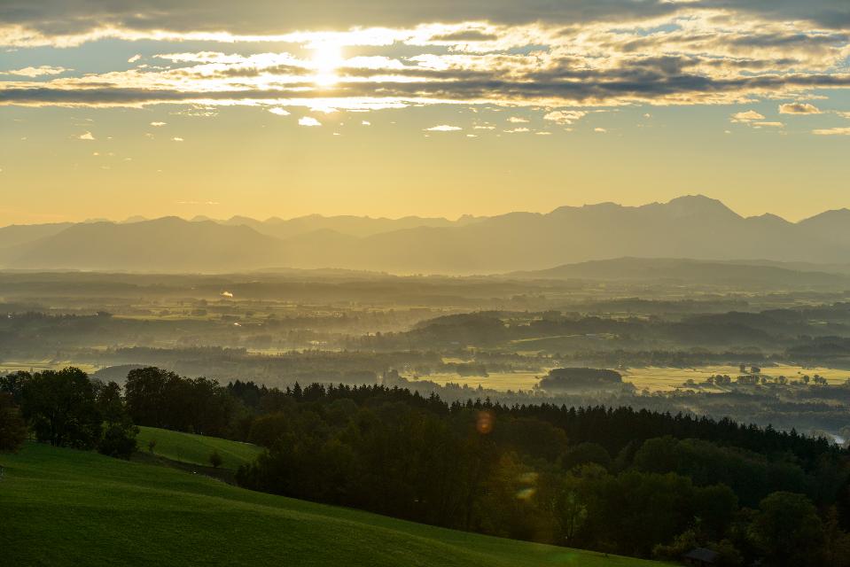
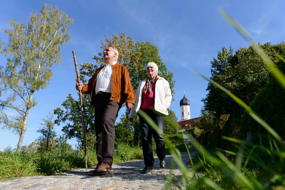
Auf der gemütlichen Runde genießen Spaziergänger die Ruhe und Natur in den wunderschönen Mischwäldern südlich von Seeshaupt. Auch wenn der idyllisch gelegene Frechensee nur auf seiner unzugänglichen Ostseite passiert wird, bieten sich immer wieder reizvolle Blicke auf den grün-blau schimmernden See.
Beschildert: Nr. 33, blau
-
Aufstieg: 52 hm
-
Abstieg: 52 hm
-
Länge der Tour: 5,5 km
-
Höchster Punkt: 618 m
-
Differenz: 26 hm
-
Niedrigster Punkt: 592 m
Schwierigkeit
sehr leicht
Kondition
sehr leicht
Panoramablick
mittel
Saisonale Eignung
-
JAN
-
FEB
-
MRZ
-
APR
-
MAI
-
JUN
-
JUL
-
AUG
-
SEP
-
OKT
-
NOV
-
DEZ
Merkmale Touren
Rundweg
Familientauglichkeit
Wanderparkplatz Seeshaupt im Friedhofweg oder Wanderparkplätze am Grundwassersee und Penzberger Straße
Mit öffentlichen Verkehrsmitteln: Die große Frechensee-Runde beginnt direkt am Bahnhof.
Nähere Informationen zur Werdenfelsbahn der Deutschen Bahn finden Sie hier.
Startpunkt: Bahnhof Seeshaupt oder Wanderparkplätze am Grundwassersee und Penzberger Straße
Ziel: Bahnhof Seeshaupt oder Wanderparkplätze am Grundwassersee und Penzberger Straße
Navigieren zu


Hier befindet sich auch

Essen in der Nähe
"Essen in der Nähe" überspringen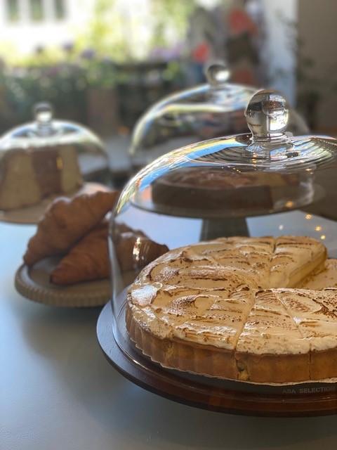
ca. 1,0 km entfernt
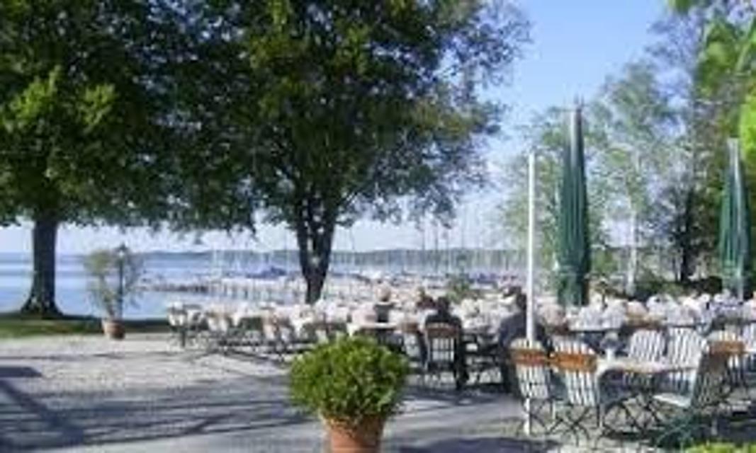
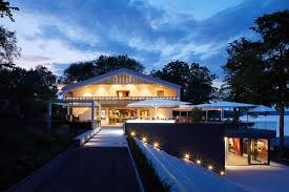
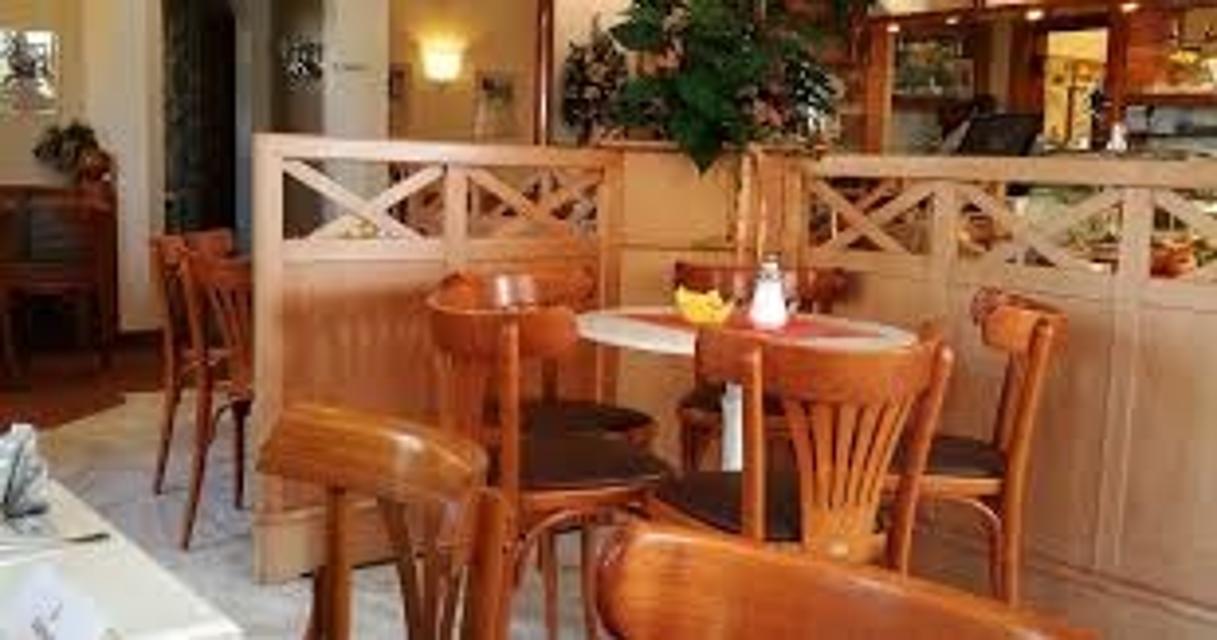
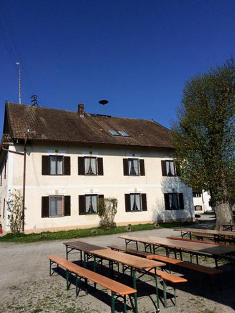
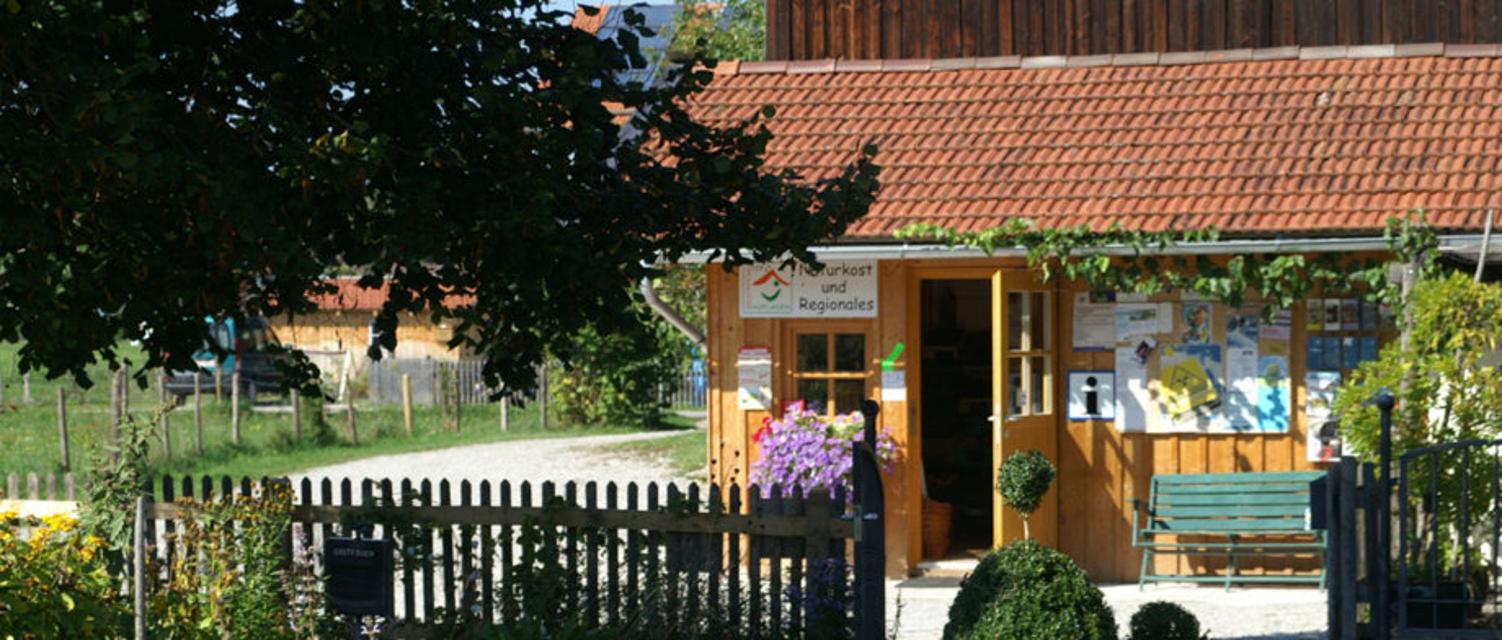
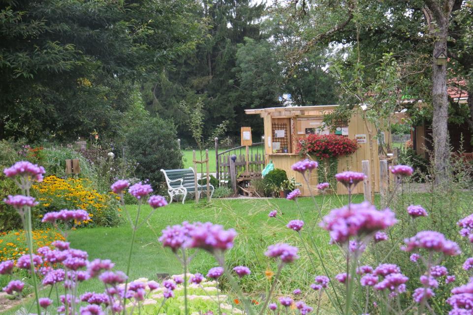
Café in der alten Metzgerei mit Tourist Info
Hauptstraße 4, 82402 Seeshaupt
Authentisch. Regional. Gemütlich. Im Einfachen steckt das Gute! Auf Euch wartet ein ausgezeichnetes Sauerteigbrot, Kaffee, Kuchen, bunte Getränke und kleine Gerichte zum Frühstück und Mittagessen. Selbst gebacken, mild geröstet, frisch gekocht und mit Liebe ausgesucht. Wir laden Euch ein von früh bis zum späten Nachmittag Kunst und Kulinarik bei uns zu genießen. Gerne auch zum Mitnehmen. Außerdem beraten wir Euch gerne über aktuelle Angebote und Unterkünfte in und um Seeshaupt. Schaut vorbei, wir freuen uns!
ca. 2,7 km entfernt
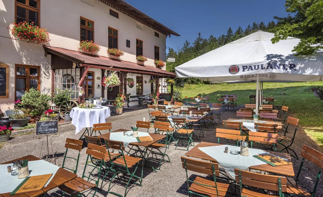
Schlossgaststätte Hohenberg
Hohenberg 3, 82402 Seeshaupt
Grüß Gott und Herzlich Willkommen in der Schlossgaststätte Hohenberg!

ca. 7,4 km entfernt
Gaststätte Waldherr
Ringstrasse 11, 82390 Eberfing
Gelegen in Mitten des herrlichen Pfaffenwinkels. Direkt in den bayrischen Voralpen.

ca. 8,0 km entfernt
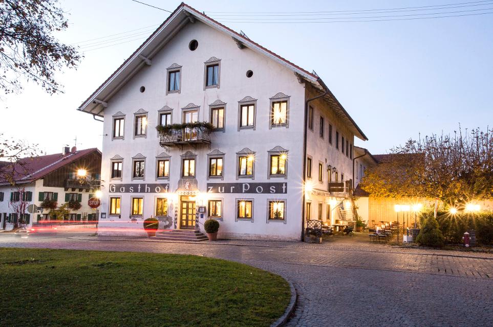
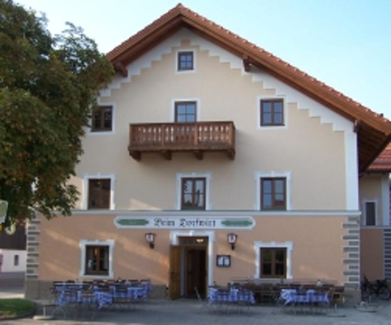
Neue Post Petermichl
Hauptstraße 4, 82387 Antdorf
In diesem Landgasthof erleben Sie bayerisch heitere Gastlichkeit gepaart mit einem Mix aus traditioneller und moderner Küche. Die gut bürgerlich bayerischen Schmankerl sorgen für deftige Höhepunkte und die Leckerbissen aus der Trendküche sind in Geschmack und Optik wahre Hochgenüsse
ca. 8,6 km entfernt
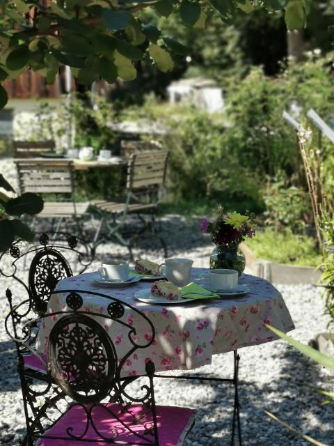
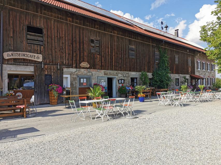
Museumscafé Reinthal
Reinthal 2, 82395 Obersöchering
Idyllisch am großen Hof gelegen, inmitten der Natur, köstliche und riesengroße Kuchen genießen.

Unterkünfte in der Nähe
"Unterkünfte in der Nähe" überspringen
ca. 2,7 km entfernt
Camping Seeshaupt am Starnberger See
St. Heinrich Sraße 127, 82402 Seeshaupt
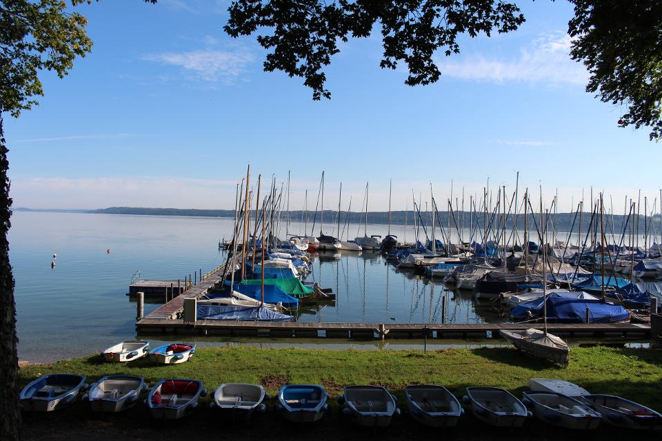
Wir freuen uns, Ihnen unseren von Grund auf neu gestalteten und konzipierten Campingplatz mit eigenem Seezugang direkt am Starnberger See vor den Toren Münchens vorstellen zu dürfen! Verbringen Sie Ihren Urlaub bei uns im oberbayrischen Voralpenland, entdecken Sie die vielfältigen Freizeitmöglichkeiten von Sport bis Sightseeing – bei uns kommen Groß und Klein, Jung und Alt, Sportler und Naturliebhaber voll auf Ihre Kosten!
Weitere Tipps in der Nähe
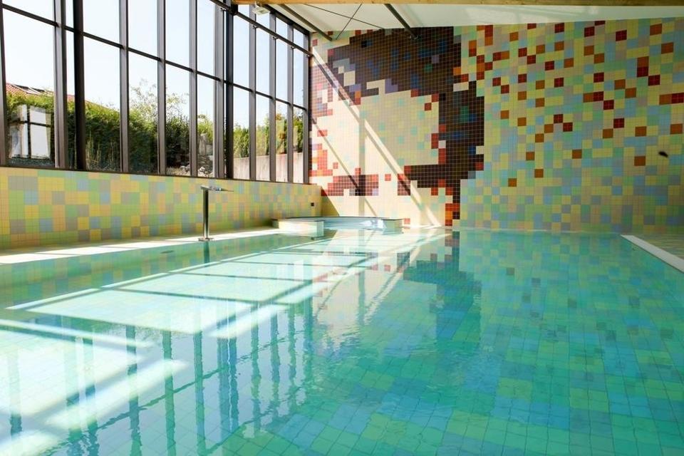
"Weitere Tipps in der Nähe" überspringenca. 0,0 km entfernt
Winterwanderung - Große Frechensee-Runde
Auf der gemütlichen Runde genießen Spaziergänger die Ruhe und Natur in den wunderschönen Mischwäldern südlich von Seeshaupt. Auch wenn der idyllisch gelegene Frechensee nur auf seiner unzugänglichen Ostseite passiert wird, bieten sich immer wieder reizvolle Blicke auf den in der Sonne schimmernden See. Beschildert: Nr. 33, blau
1:30 h 18 hm 18 hm 5,5 km sehr leicht
ca. 0,0 km entfernt
Kleine Frechensee-Runde
Die gemütliche Spazierrunde führt einmal rund um den idyllisch inmitten von wunderschönen Mischwäldern gelegenen Frechensee. An seinem Westufer genießen Spazieränger auf einer großen Lichtung mit saftig grünen Wiesen die nahezu unberührte Natur und wohltuende Ruhe fernab der Zivilisation. Beschildert: Nr. 32, blau
1:15 h 59 hm 59 hm 4,7 km sehr leicht

ca. 0,0 km entfernt
Seeshaupter Landküche
Bahnhofpl. 9, 82402 Seeshaupt
In der Seeshaupter Landküche produzieren wir seit dem Jahr 2000 handgemachte Lebensmittel und Fertigprodukte. Unter der Leitung von Küchenmeister Jörg Schmitz produzieren wir Fertiggerichte mit viel Geschmack, frischen Produkten und großer Vielfalt.

ca. 0,1 km entfernt
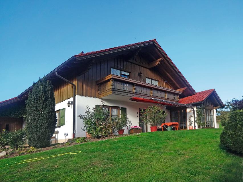
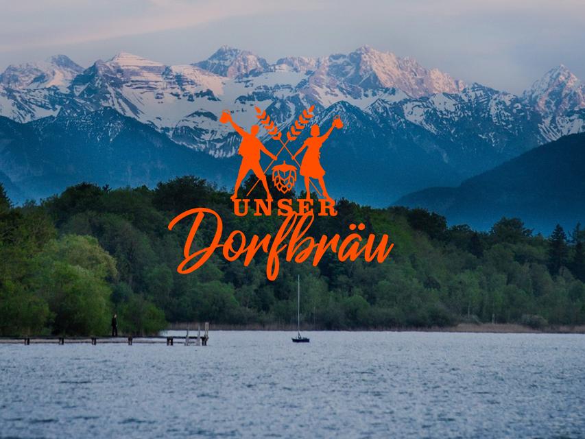
Unser Dorfbräu, Sesshaupt
Flurweg 11, 82402 Seeshaupt
Unser Bier steht für Freundschaft und Offenheit. Genauso wie das Unser Dorfbräu-Team.
ca. 0,7 km entfernt

ca. 0,9 km entfernt
Das könnte Dir auch gefallen
"Das könnte Dir auch gefallen" überspringen
Haselbachrunde
Der Haselbachweg ist zu jeder Jahreszeit einer der schönsten und abwechslungsreichsten Rundwanderwege. Im Frühjahr blühen hunderte Märzenbecher am Bachlauf und Mehlprimeln stehen in den Streuwiesen. Im Sommer blühen Orchideen und viele andere Wildblumen. Der Herbst begeistert mit Lungen-, Schwalbenwurz- und Moorenzian. Im Winter wird ein Teil des Weges als Langlaufloipe gespurt. Ein besonderes Erlebnis ist es, den Haselbachweg bei glänzendem Schnee und Sonnenschein mit Schneeschuhen zu durchwandern.
1:25 h 35 hm 34 hm 5,6 km sehr leicht
Kleine Frechensee-Runde
Die gemütliche Spazierrunde führt einmal rund um den idyllisch inmitten von wunderschönen Mischwäldern gelegenen Frechensee. An seinem Westufer genießen Spazieränger auf einer großen Lichtung mit saftig grünen Wiesen die nahezu unberührte Natur und wohltuende Ruhe fernab der Zivilisation. Beschildert: Nr. 32, blau
1:15 h 59 hm 59 hm 4,7 km sehr leicht
Spitzweg-Wanderung
Benannt nach dem bekannten Münchner Maler Carl Spitzweg, der 1833 bei einem Kuraufenthalt im ehemaligen Bad Sulz den Entschluss fasste, Maler zu werden, führt die kleine Rundwanderung auf romantischen Wegen durch den Wald westlich von Peißenberg. Er ist ausgeschildert mit der Nr. 75 auf grünem Untergrund.
1:00 h 183 hm 183 hm 2,3 km sehr leicht
Großer Ostersee-Rundweg
Die Umrundung des Großen Ostersees ist eine landschaftlich einzigartige Wanderung durch eine der größten und vielfältigsten Eiszerfallslandschaften des bayerischen Alpenvorlands. Romantische Mischwälder und Moorgebiete, idyllische Buchten und traumhafte Ausblicke über den blau-grün schimmernden See bis hin zu den Bayerischen Alpen sorgen für ein eindrucksvolles Naturerlebnis. Beschildert: Nr. 25, blau
2:45 h 107 hm 107 hm 10,5 km mittel
Penzberger Berghaldenpfad
In den vielen Jahren des Bergbaus in Penzberg entstand aus Abraumgestein die 70 Meter hohe Berghalde. Von der wahrscheinlich schönsten Aussichtsterrasse Penzbergs hat man einen fabelhaften Ausblick auf die Alpen und auf das weitläufige Loisach-Kochelseemoos. Der Natur-Erlebnis-Pfad ist als Rundweg über das vielfältige Freizeit- und Naherholungsgebiet der Berghalde angelegt.
1:00 h 61 hm 61 hm 2,8 km sehr leicht
Schnalz-Panoramaweg Böbing
Abwechslungsreicher könnte der bergige Rundweg kaum sein. Gut ausgebaute Panoramastrecken bieten am Anfang und Ende viel Zeit zum Schauen und Genießen. Dazwischen erwarten Wanderer mitunter steile Wurzel- und Treppenpfade durch den Wald, die bis hinunter an die Ammer und bis hinauf auf den Schnalz-Gipfel (901 m) führen. Beschildert: Nr. 89, blau
2:30 h 350 hm 350 hm 7,7 km mittel
Sonnenbichl-Weg
Der Sonnenbichl-Weg ist eine erstklassige Panoramarunde. Bis auf wenige Abschnitte werden Spaziergänger auf der gesamten Strecke von einem grandiosen Bergblick begleitet. Vom Aussichtspunkt in Geigersau, der nicht umsonst Dreiseenblick genannt wird, eröffnet sich ein eindrucksvoller Blick nach Norden bzw. Osten auf Ammersee, Starnberger See und Staffelsee. Beschildert: Nr. 93, blau
2:30 h 175 hm 151 hm 10,0 km mittel
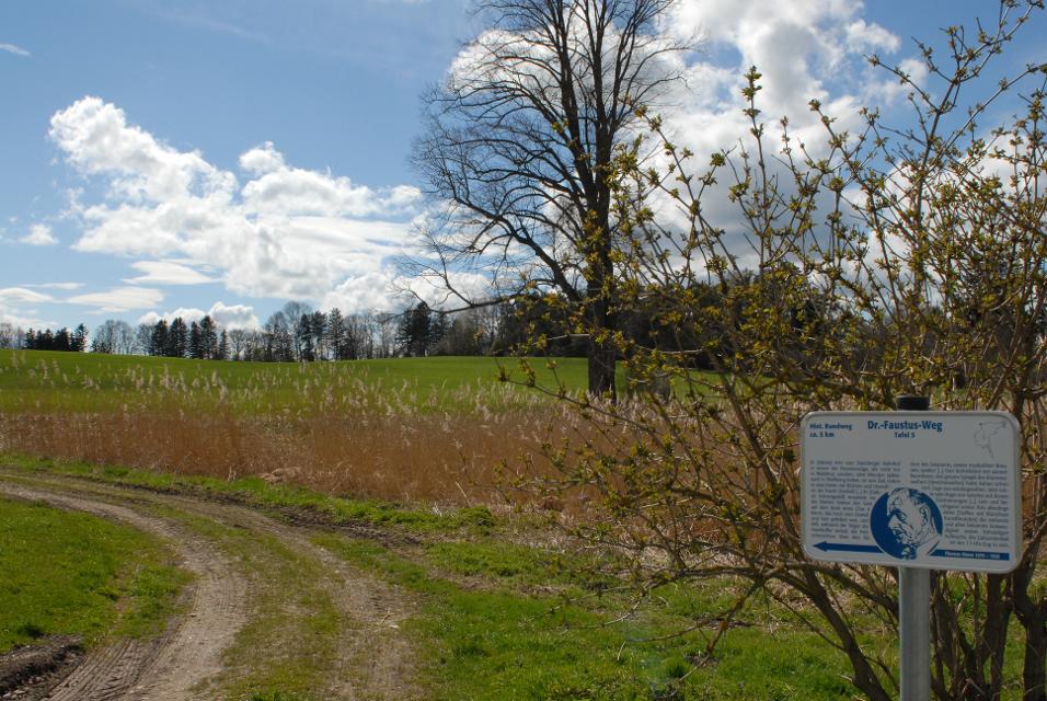
Doktor-Faustus-Weg
Der Doktor-Faustus-Weg wurde nach den Ortsbeschreibungen im Roman angelegt, die durch Thomas und Viktor Mann eindeutig für Polling verbürgt sind. Der landschaftlich reizvolle Rundweg berührt alle Orte, die Thomas Mann im Zusammenhang mit Geburts- und Wohnort seiner Titelfigur Adrian Leverkühn erwähnt. Man wandert auf den Spuren eines bedeutenden Werkes der Weltliteratur - im Spannungsfeld zwischen Realität und Kunstfigur. Mit 13 Texttafeln bietet der Themenweg unterhaltsame Erholung in intakter Kulturlandschaft.
1:30 h 60 hm 60 hm 4,6 km sehr leicht
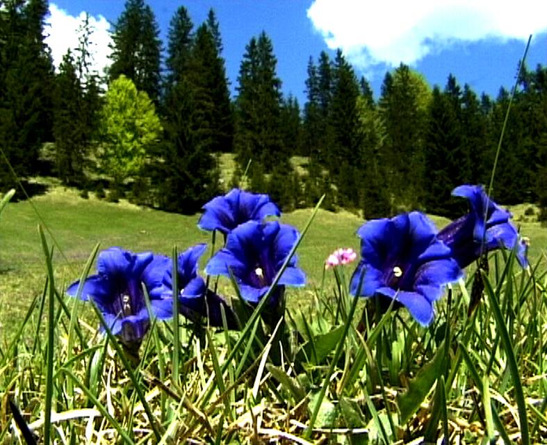
Enzianweg
Der landschaftlich reizvolle Rundweg hat allerlei Abwechslung zu bieten: weitläufige Wiesen, Felder und Moore, ein idyllisch gelegener See, ein erfrischender Badeweiher, zwei malerische Kapellen und nicht zuletzt ein fantastisches Bergpanorama. So geht es auf ruhigen, größtenteils asphaltierten Wegen genussvoll durch die wunderschöne Landschaft nordöstlich von Obersöchering. Beschildert: Nr. 11, blau
2:00 h 22 hm 22 hm 8,5 km sehr leicht
Hardtrunde (kurz)
Die kurze Version der Hardtrunde streift die typische Hardtlandschaft östlich von Weilheim nur am Rande. Im Zentrum steht vielmehr das sanfte Hügelland rund um den idyllischen Dietlhofer See, einem beliebten Badesee im Norden von Weilheim. Immer wieder genießen Spaziergänger wunderschöne Ausblicke auf den See und den Weiler Dietlhofen. Beschildert: Nr. 42, grün
1:00 h 47 hm 47 hm 3,9 km sehr leicht
Illach-Rundweg
Der flache Rundweg nahe der Illach führt Wanderer durch die weitläufige Landschaft des Pfaffenwinkels. Während Kulturinteressierte in Steingaden die Spuren der Welfendynastie erforschen können, ist für Naturliebhaber der türkisfarbene Lechstausee eine wunderbare Sehenswürdigkeit. Ausgeschildert mit der Nr. 120, rot.
2:30 h 154 hm 154 hm 9,4 km mittel
Königssträßle-Rundweg
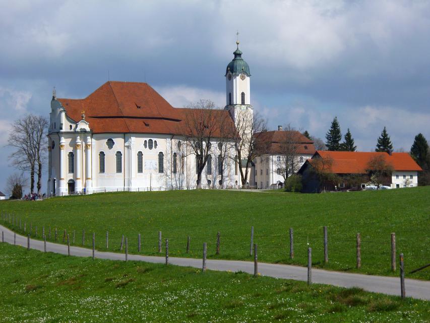
Die panoramareiche Runde führt auf ruhigen Wegen durch die hügelige Voralpenlandschaft des südlichen Pfaffenwinkels. Grandiose Bergblicke und die weit über die Grenzen Bayerns hinaus bekannte Wieskirche ziehen Spaziergänger in ihren Bann. Beschildert: Nr. 117, blau
2:30 h 173 hm 173 hm 9,8 km mittel
Lanzenbachweg
Idyllisch führt die Runde, die auf den Schildern mit der Nr. 8 auf blauem Grund zu finden ist, in stetem Auf und Ab durch die Wald- und Wiesenlandschaft östlich des Pollinger Weihers. Immer wieder genießen Spaziergänger traumhafte Ausblicke auf die Alpenkette. Im Reinthaler Bauernhofmuseum können allerlei alte landwirtschaftliche Geräte bestaunt werden. Direkt nebenan lohnt sich eine Einkehr im dazugehörigen Café. Beschildert: Nr. 8, blau
2:15 h 128 hm 128 hm 8,6 km mittel
Lauterbach-Rundweg
In Steingaden beginnt der Rundweg nach Lauterbach. Vom Startpunkt führt der Weg über wenig befahrene Sträßchen und Forstwege nordöstlich von Steingaden. Ein Begleiter der Tour ist der grandiose Weitblick auf die Alpen und auf das Welfenmünster. Ausgeschildert ist der Weg mit der Nr. 119, blau.
2:15 h 142 hm 142 hm 7,3 km mittel
Moor- und Drumlinrunde Eberfing
Die ausgedehnte Spazierrunde bei Stadel ist eine Runde durch die weitläufigen Filzgebiete und romantische Wälder im bayerischen Oberland nahe des Starnberger Sees. Auf der Rundwanderung darf man die sanfte Hügellandschaft im malerischen Voralpenland kenne lernen. Der Stadler Weiher ist das Highlight der Tour und einen Abstecher für einen Sprung in das kühle Nass wert. Beschildert: T16, blau
2:30 h 60 hm 58 hm 8,2 km mittel
Panoramaweg Schellenberg
Der Panoramaweg über den Schellenberg wird seinem Namen mehr als gerecht. Schon vom Weg aus, erst recht aber auf dem Schellenberg genießen Spaziergänger einen fantastischen Blick auf die Alpen und den Hohen Peißenberg. Beschildert: Nr. 17, grün
1:00 h 48 hm 48 hm 4,1 km sehr leicht
Schäfflerweg
Der Schäfflerweg ist eine wunderschöne Wanderrunde mit Start in Peißenberg, der Marktgemeinde des lebendig gebliebenen Bergbaus.
3:15 h 235 hm 235 hm 10,7 km mittel
Schnalz-Panoramaweg Peiting
Abwechslung und Spannung ist auf dem ausgedehnten Rundweg garantiert. Zwischen saftig grünen Wiesen und schattigen Wäldern führt er bis an die wildromantische Ammer hinunter, wo mit dem Ammerlauf-Lehrpfad noch eine informative Extra-Runde gedreht wird. Auf dem Weg in Richtung Schnalz-Gipfel stellen die unzähligen Stufen einen echten Konditionstest dar. ‘Beschildert: Nr. 101, blau
3:30 h 412 hm 412 hm 10,2 km mittel
Seewiesenweg
Die gemütliche Spazierrunde ist zwar kurz, aber dafür umso abwechslungsreicher. Begleitet von einem traumhaften Alpenpanorama führt der Weg nach Huglfing, bevor es durch die einzigartige Grasleitner Moorlandschaft zurück nach Oberhausen geht. Beschildert: Nr. 63, grün
1:00 h 47 hm 47 hm 4,0 km sehr leicht
Storchenweg
Auf dem kurzen, flachen Rundweg genießen Spaziergänger über den freien Felder und Wiesen nordöstlich von Raisting ein traumhaftes Bergpanorama. Wer im Frühling oder Frühsommer unterwegs ist, kann mit etwas Glück häufig Störche beobachten, die während dieser Zeit in einem der zahlreichen Horste in und um den Ort nisten. Beschildert: Nr. 50, grün
1:00 h 22 hm 22 hm 4,1 km sehr leicht
Vogellehrpfad Bad Bayersoien
Auf 6 informativen Schautafeln entlang diesen Themenweges erfahren Sie alles über die reiche Vogelwelt am Soier See. Mit einem speziellen "TING"-Stift lassen Sie die Vogelwelt auch erklingen. Diesen "TING"-Stift können Sie sich in der Tourist-Information in Bad Bayersoien und im Fischerhäusl am Soier See gegen Pfand kostenlos aussleihen.
0:31 h 15 hm 15 hm 2,1 km sehr leicht
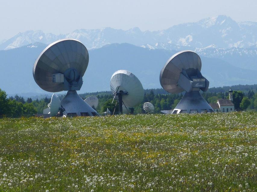
Wald-Wanderweg
Der Wald-Wanderweg führt uns auf ruhigen Forstwegen durch idyllische Wälder. Die gemütliche Runde führt um die Ortschaft Raisting, die für ihre Erdfunkstelle große Bekanntheit genießt. Die weit sichtbaren Parabolantennen sind ein Wahrzeichen des Weilheimer Landes. Beschildert: Nr. 53, blau
1:30 h 64 hm 64 hm 6,8 km mittel
Bergwetter-Weg
In exponierter Lage führt die Spazierrunde auf gut beschilderten Wegen zu den spannenden Sehenswürdigkeiten des Hohen Peißenbergs. Auf der Runde erwartet uns die älteste Bergwetterstation der Erde, eine Entdeckungsreise durch die Welt des Klimas und die Wallfahrtskirche Maria Himmelfahrt. Beschildert: Nr. 82, blau
1:30 h 196 hm 196 hm 4,8 km sehr leicht
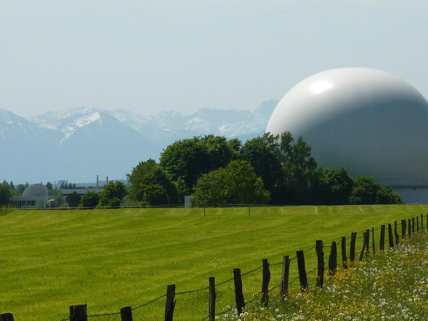
Erdfunkstellen-Wanderweg
Die eindrucksvolle, durchaus außergewöhnliche Spazierrunde führt einmal rund um die schon von Weitem sichtbare Erdfunkstelle südlich von Raisting. Mitten auf der grünen Wiese stehen hier riesige Antennen, welche bis heute für internationale Satellitenverbindungen und damit für weltweite Kommunikation genutzt werden. Beschildert: T51, grün
1:15 h 22 hm 22 hm 5,0 km sehr leicht
Hardtrunde (lang)
Die ausgedehnte Runde führt über weite Strecken durch die einzigartige Hardtlandschaft mit Hoch- und Niedermooren, Magerrasen- und Streuwiesengebieten sowie weitläufigen Wäldern. Auf dem landschaftlich äußerst reizvollen Weg über kaum befahrene Sträßchen und ruhige Forstwege genießen Spaziergänger immer wieder traumhafte Ausblicke auf die Alpenkette. Beschildert: Nr. 44, rot
2:30 h 109 hm 109 hm 9,6 km mittel
Hardtrunde (mittel)
Die landschaftlich reizvolle Hardtrunde führt in ihrem östlichen Teil durch die wunderschöne, äußerst vielfältige Hardtlandschaft. Saftig grüne Wiesen wechseln sich immer wieder mit weitläufigen Wald- und Moorgebieten ab. Im Gegensatz dazu ist der westliche Teil der Runde geprägt durch die weiten, häufig landwirtschaftlich genutzten Felder und Wiesen rund um den Dietlhofer See, der sich im Sommer hervorragend zum Baden eignet. Beschildert: Nr. 43, blau
2:00 h 88 hm 88 hm 7,1 km sehr leicht
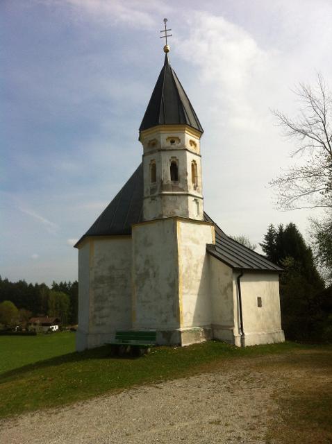
Kirchen-Rundweg Iffeldorf
Das Ziel des kurzen Rundwegs ist die Wallfahrtskirche St. Maria im Heuwinkl. Die als Heuwinklkapelle bekannte Kirche liegt wunderschön auf einer Anhöhe östlich von Iffeldorf. Sie gilt als eine der schönsten Kapellen im gesamten bayerischen Oberland. Durch ihre exponierte Lage und ihren originellen runden Bau mit der großen roten Kuppel ist sie schon von Weitem sichtbar. Beschildert: Nr. 24, grün
0:45 h 39 hm 39 hm 2,8 km sehr leicht