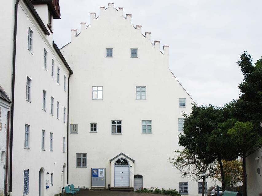
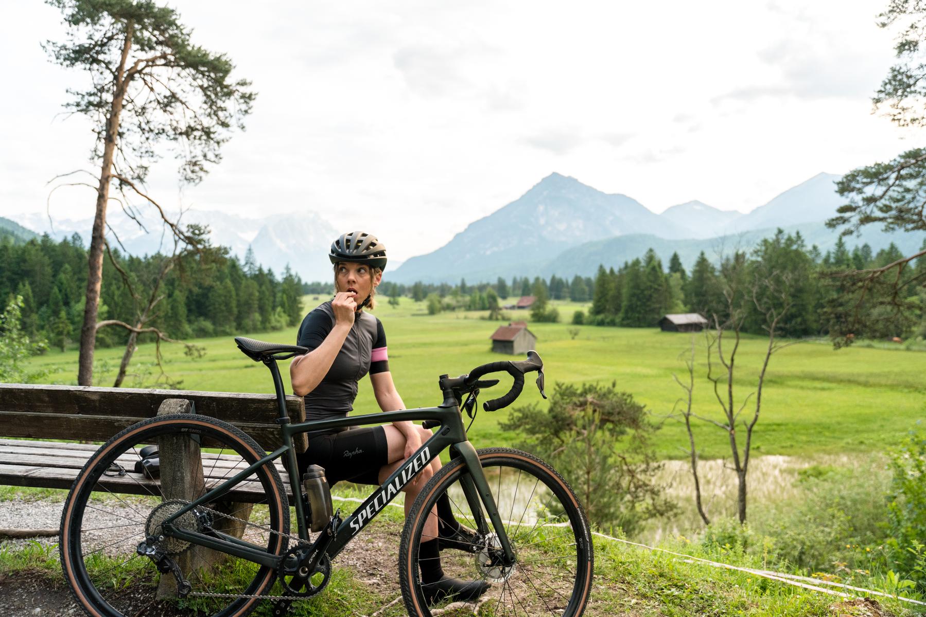
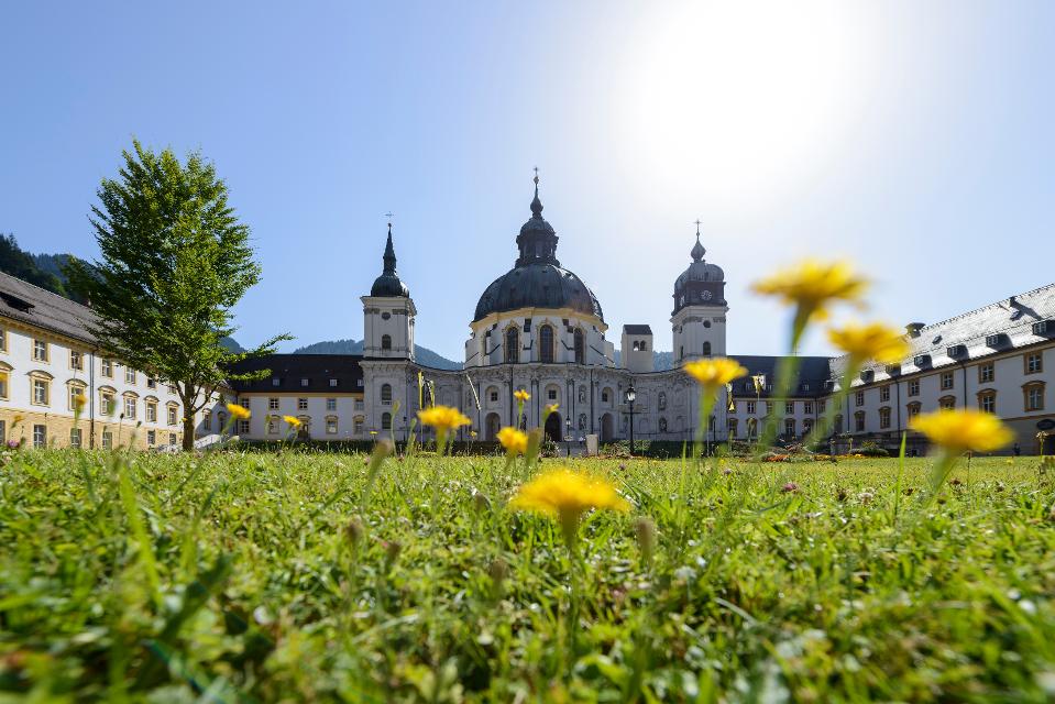
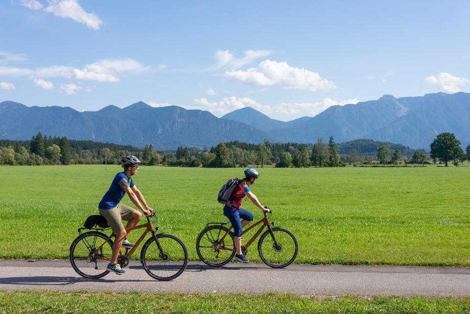
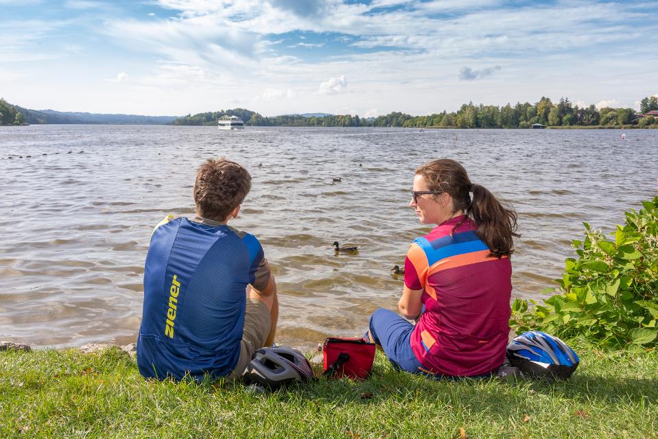
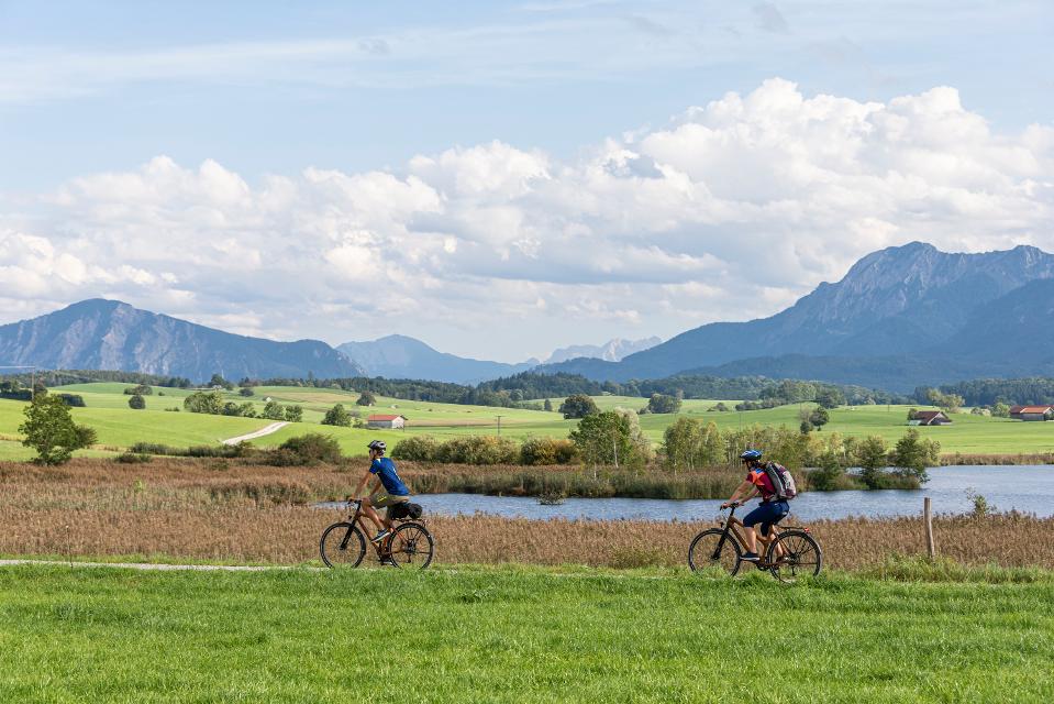
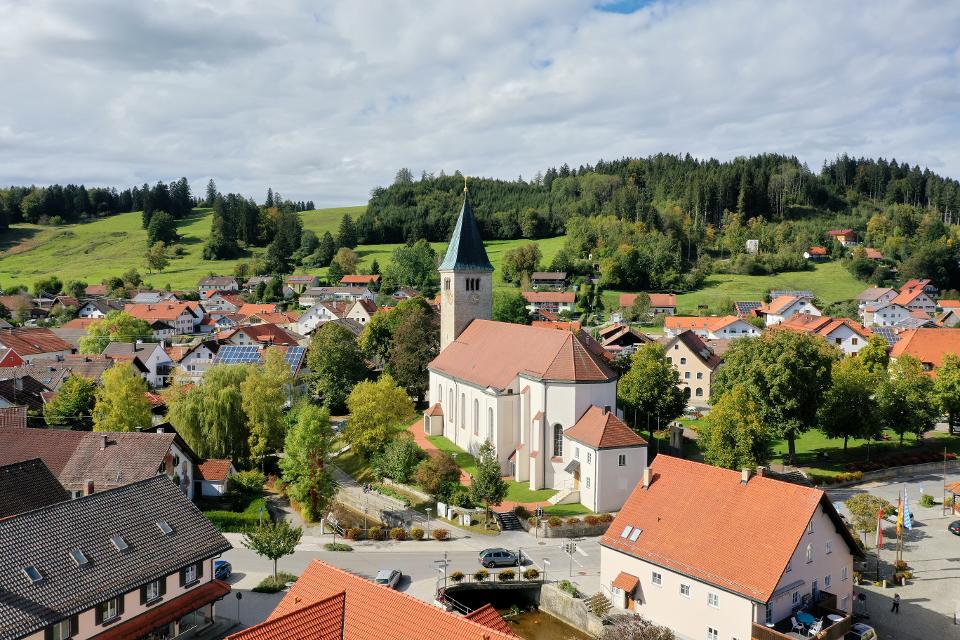
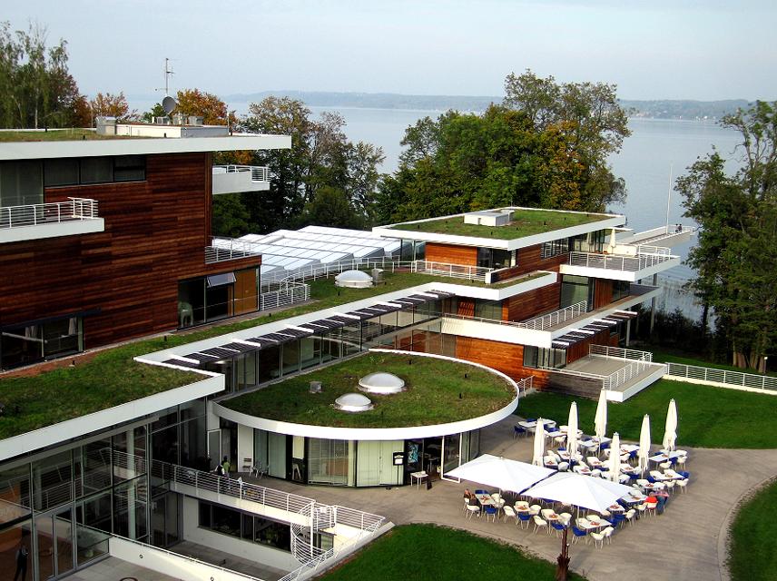
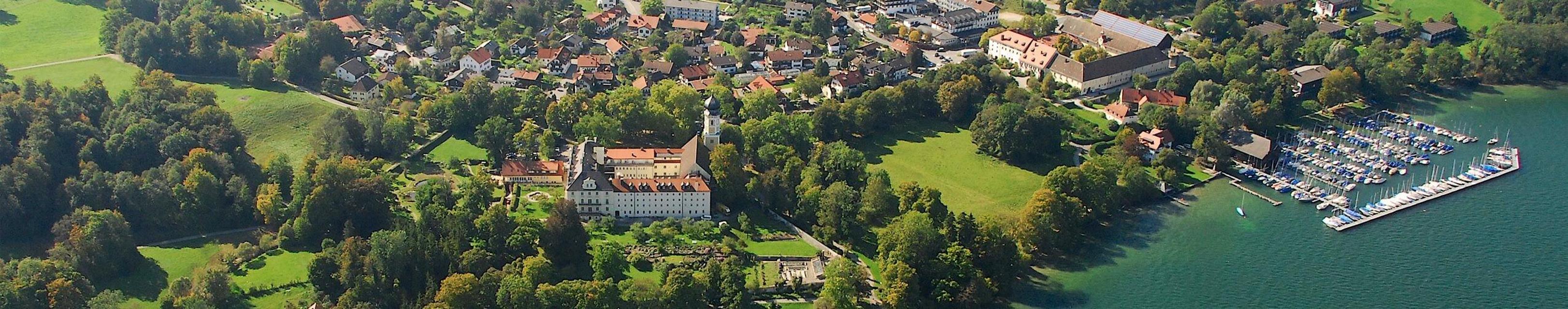
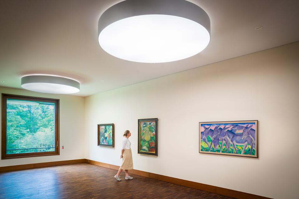
MuSeenLandschaft Expressionismus: Etappe 3 - Schloßmuseum Murnau - Franz Marc Museum
3:20 h 275 hm 289 hm 43,2 km
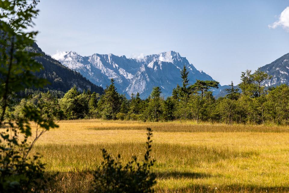
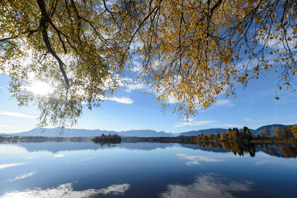

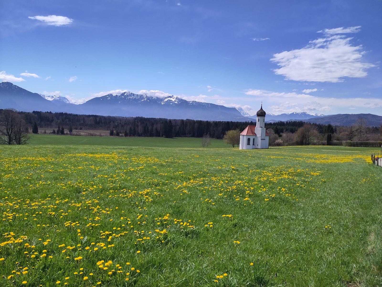
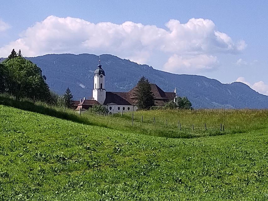
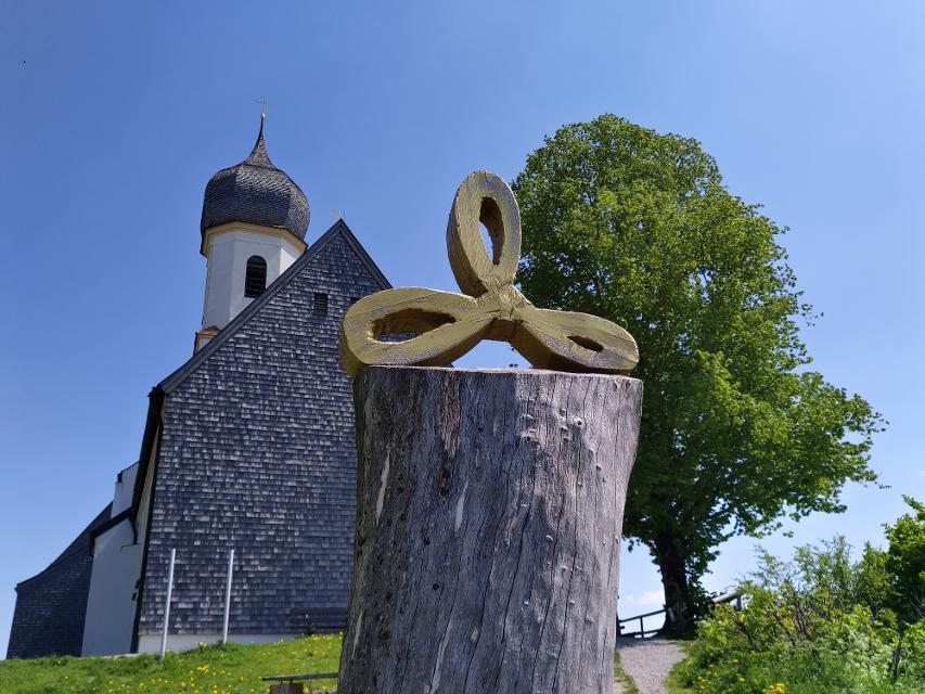
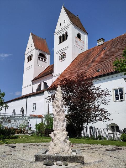
Die Tour ist die dritte Etappe einer mehrtägigen Rad-Rundtour, die in München am Lenbachhaus startet und dann eine Schleife durch die MuSeenLandschaft über Bernried am Starnberger See, Murnau, Kochel und Penzberg dreht.
-
Aufstieg: 275 hm
-
Abstieg: 289 hm
-
Länge der Tour: 43,2 km
-
Höchster Punkt: 791 m
-
Differenz: 194 hm
-
Niedrigster Punkt: 597 m
Saisonale Eignung
-
JAN
-
FEB
-
MRZ
-
APR
-
MAI
-
JUN
-
JUL
-
AUG
-
SEP
-
OKT
-
NOV
-
DEZ
Kostenlose Parkplätze P6 Weilheimer Str. 13, P5 Kellerstr. 1, weitere Parkplätze siehe https://www.tourismus.murnau.de/service/anreise-mobilitaet


Hier befindet sich auch
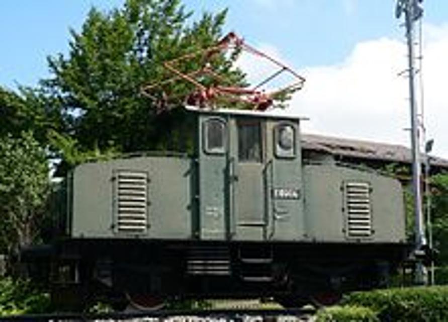
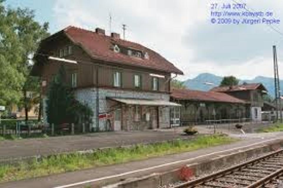
Bahnhof Murnau
82418 Murnau am Staffelsee
Der Bahnhof Murnau ist der größte Bahnhof des Marktes Murnau am Staffelsee im Süden Bayerns. Der Trennungsbahnhof liegt an der Bahnstrecke München–Garmisch-Partenkirchen und stellt den Beginn der Ammergaubahn nach Oberammergau dar. Er gehört der Bahnhofskategorie 4 an und verfügt über vier Bahnsteiggleise.

Essen in der Nähe
"Essen in der Nähe" überspringen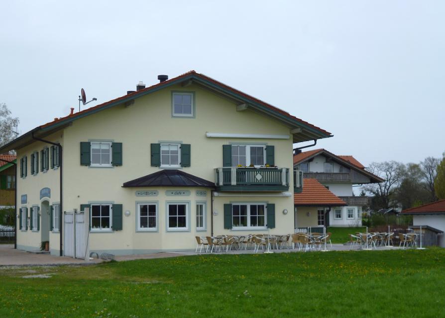
ca. 7,7 km entfernt
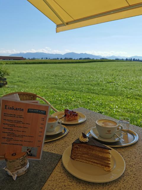
Bauern-Café
Huglfinger Straße 23, 82436 Eglfing-Tauting
Cafe mit hausgemachten Kuchen, Torten und Laden mit eigenem Hofkäse, Honig u.v.a. mit Blick übers Blaue Land in die Berge!
ca. 8,8 km entfernt
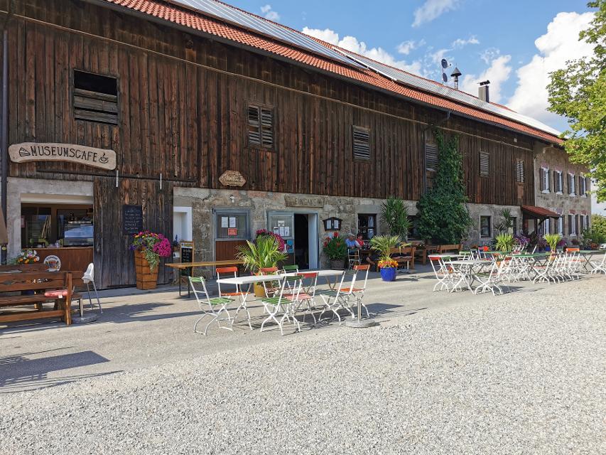
Museumscafé Reinthal
Reinthal 2, 82395 Obersöchering
Idyllisch am großen Hof gelegen, inmitten der Natur, köstliche und riesengroße Kuchen genießen.
Unterkünfte in der Nähe
"Unterkünfte in der Nähe" überspringen
Weitere Tipps in der Nähe
"Weitere Tipps in der Nähe" überspringen
ca. 0,4 km entfernt
Himmlisch genießen - Genussradeln rund ums Murnauer Moos
Radfahren und gut Essen - zwei untrennbare miteinander verbundene Begriffe.
6:00 h 654 hm 654 hm 81,1 km sehr schwer
ca. 0,4 km entfernt

Himmlisch genießen - Genussradeln zwischen Staffelsee und Ammer
Radfahren und gut Essen - zwei untrennbare miteinander verbundene Begriffe.
3:45 h 277 hm 277 hm 54,0 km mittel
ca. 0,7 km entfernt

Himmlisch genießen - Genussradeln zwischen Staffelsee und Lech
Radfahren und gut Essen - zwei untrennbare miteinander verbundene Begriffe.
6:30 h 779 hm 779 hm 89,5 km mittel


ca. 0,9 km entfernt
Bahnhof Murnau
82418 Murnau am Staffelsee
Der Bahnhof Murnau ist der größte Bahnhof des Marktes Murnau am Staffelsee im Süden Bayerns. Der Trennungsbahnhof liegt an der Bahnstrecke München–Garmisch-Partenkirchen und stellt den Beginn der Ammergaubahn nach Oberammergau dar. Er gehört der Bahnhofskategorie 4 an und verfügt über vier Bahnsteiggleise.
ca. 0,9 km entfernt
Gravelbiken mit Zugspitzblick - vom Murnauer Moos nach Weilheim
Gravelbiken – Entdecke die Zugspitz Region auf zwei schenllen Reifen.
3:05 h 262 hm 391 hm 45,8 km mittel
ca. 0,9 km entfernt
2-Seen-Tour - Staffelsee-Lechsee
Der Staffelsee hat beim Kampf um den Rang des schönsten Voralpensees gute Chancen auf einen Spitzenplatz.
5:30 h 872 hm 840 hm 95,9 km mittel
ca. 1,0 km entfernt
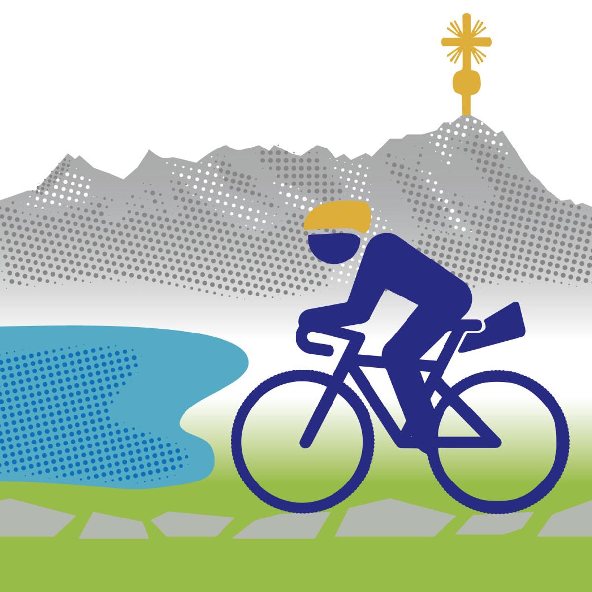
Bayerische Wallfahrt
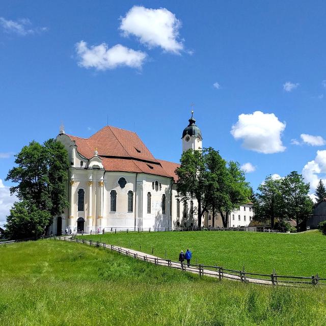
Wallfahren mit dem Rennrad? Warum nicht, auch wenn in diesem Fall die Wieskirche nicht das Endziel der Fahrt ist.
6:30 h 908 hm 907 hm 113,3 km mittel
ca. 5,3 km entfernt

Das könnte Dir auch gefallen
"Das könnte Dir auch gefallen" überspringen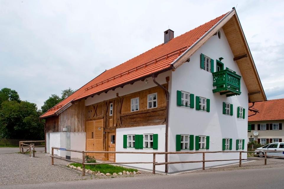
Auerbergland@venture-Route
Die Erlebnis-Radrunde zu Kultur und Natur um den Auerberg.
9:20 h 1047 hm 997 hm 128,0 km sehr schwer
Himmlisch genießen - Genussradeln rund ums Murnauer Moos
Radfahren und gut Essen - zwei untrennbare miteinander verbundene Begriffe.
6:00 h 654 hm 654 hm 81,1 km sehr schwer


Himmlisch genießen - Genussradeln zwischen Staffelsee und Ammer
Radfahren und gut Essen - zwei untrennbare miteinander verbundene Begriffe.
3:45 h 277 hm 277 hm 54,0 km mittel
Himmlisch genießen - Genussradeln zwischen Staffelsee und Lech
Radfahren und gut Essen - zwei untrennbare miteinander verbundene Begriffe.
6:30 h 779 hm 779 hm 89,5 km mittel


Land der Moore - Radeln zwischen Bad Kohlgrub und Benediktbeuern
Das Alpenvorland zählt zu den faszinierendsten Landschaften Deutschlands, und sogar ganz Europas.
6:20 h 498 hm 498 hm 91,1 km sehr schwer


Land der Moore: Radeln rund ums Wiesfilz
Die Schleife führt Radler durch die südwestlichste Ecke des Pfaffenwinkels.
2:15 h 211 hm 211 hm 30,2 km
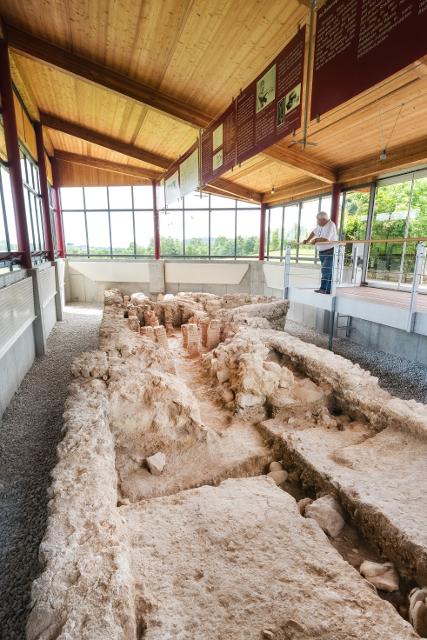
Lechtour: über Riesen -Burggen zurück nach Steingaden
Abwechslungsreiche Rundtour mit Überquerung der Lechtalbrücke Schongau und interessanten Ausblicken. Besuchen Sie vor der Befahrung der Lechtalbrücke die Villa Rustica in Peiting. Die historische Ausgrabungsstätte eines römischen Landgutes aus dem 2. Jahrhundert n. Chr.
2:25 h 223 hm 223 hm 32,7 km


MuSeenLandschaft Expressionismus: Etappe 1 - Lenbachhaus - Buchheim Museum
Die Tour ist die erste Etappe einer mehrtägigen Rad-Rundtour, die in München am Lenbachhaus startet und dann eine Schleife durch die MuSeenLandschaft über Bernried am Starnberger See, Murnau, Kochel und Penzberg dreht.
4:35 h 246 hm 157 hm 61,2 km


MuSeenLandschaft Expressionismus: Etappe 2 - Buchheim Museum - Schloßmuseum Murnau
Die Tour ist die zweite Etappe einer mehrtägigen Rad-Rundtour, die in München am Lenbachhaus startet und dann eine Schleife durch die MuSeenLandschaft über Bernried am Starnberger See, Murnau, Kochel und Penzberg dreht.
2:10 h 162 hm 62 hm 30,0 km


MuSeenLandschaft Expressionismus: Etappe 4 - Franz Marc Museum - Museum Penzberg
Die Tour ist die vierte Etappe einer mehrtägigen Rad-Rundtour, die in München am Lenbachhaus startet und dann eine Schleife durch die MuSeenLandschaft über Bernried am Starnberger See, Murnau, Kochel und Penzberg dreht.
1:25 h 21 hm 52 hm 21,4 km

MuSeenLandschaft Expressionismus: Etappe 5 - Museum Penzberg - Lenbachhaus
Die Tour ist die fünfte und letzte Etappe einer mehrtägigen Rad-Rundtour, die in München am Lenbachhaus startet und dann eine Schleife durch die MuSeenLandschaft über Bernried am Starnberger See, Murnau, Kochel und Penzberg dreht.
6:00 h 203 hm 270 hm 82,4 km
Panorama-Runde Schlosspark
Der Name spricht Bände - neben den wunderbaren Ausblicken auf Forggensee, Lech, Schloss Neuschwanstein und die Tannheimer Berge locken entlang dieser Runde auch näherliegende Schönheiten wie die Wieskirche, Badespaß am Illasbergsee oder das Premer Filz. Hier gibt es für alle, die nicht nur gern radeln sondern auch wandern, einen Moorlehrpfad.
3:05 h 300 hm 299 hm 41,3 km mittel

Radpilgern durch Pfaffenwinkel und Zugspitz Region: Weitblicke - Vom Hohen Peißenberg zu spiegelnden Wassern
Diese Runde ist der Himmel. Ihm kommt man ganz nah auf dem Hohen Peißenberg mit seiner über 500 Jahre alten Wallfahrtskirche und einem der schönsten Rundblicke Bayerns.
7:00 h 931 hm 931 hm 94,9 km

Radpilgern durch Pfaffenwinkel und Zugspitz Region: Wilde Flüsse - zwischen Auerberg und Hohem Peißenberg
Diese Runde vereint alles, was den Pfaffenwinkel so anziehend macht: Barocke Pracht und ländliches Leben, Wege nach innen und atemberaubende Fernblicke, Kulturland mit Geschichte und nahezu unberührte Natur.
7:25 h 1004 hm 1004 hm 98,2 km